An illustrated town map
Download & use this map
This map is free to use. Towns, tourism offices, businesses, schools and bloggers are welcome to share it on websites, in newsletters or on social media. All we ask is a credit link back to this page. The easiest way to do that is the embed code below.
Embed this map on your site
About Andover
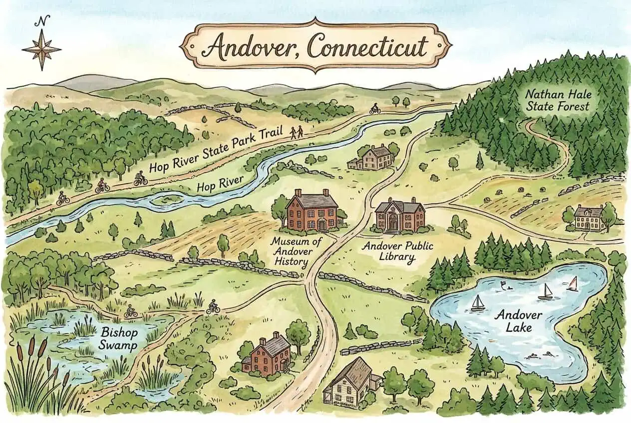
Andover is a small rural town in Tolland County, Connecticut, incorporated in 1848, with farmland, stone walls and historic homes. The Hop River State Park Trail, part of the East Coast Greenway, follows the Hop River through town past the 1893 Old Town Hall, now the Museum of Andover History.
This free illustrated map pulls together the places that give Andover its character, including Hop River State Park Trail, Hop River, Museum of Andover History and Andover Lake. Every label on the map is listed below with a short description and a link to learn more.
Andover at a glance
Notable places
- Hop River State Park TrailRail trail along the Hop River, part of the East Coast Greenway
- Hop RiverRiver running beside the trail
- Museum of Andover HistoryTown museum in the 1893 Old Town Hall
- Andover Lake155-acre private lake created in 1927
- Bishop SwampState wildlife management area with trails
- Nathan Hale State ForestState forest in the northeast corner of town
- Andover Public Library1927 Burnap-Skinner Memorial library
- City of AndoverOfficial local government website
- ctvisit.comVisitor and tourism information for Andover
More maps of Connecticut
See where Andover sits in the state on our Connecticut county map, or browse more illustrated Connecticut town maps.
Population and area figures come from the U.S. Census Bureau; other facts from the sources linked on each card. Place links go to each place’s official website where it has one, otherwise to its Wikipedia article. The map is an artistic illustration and isn’t to scale.