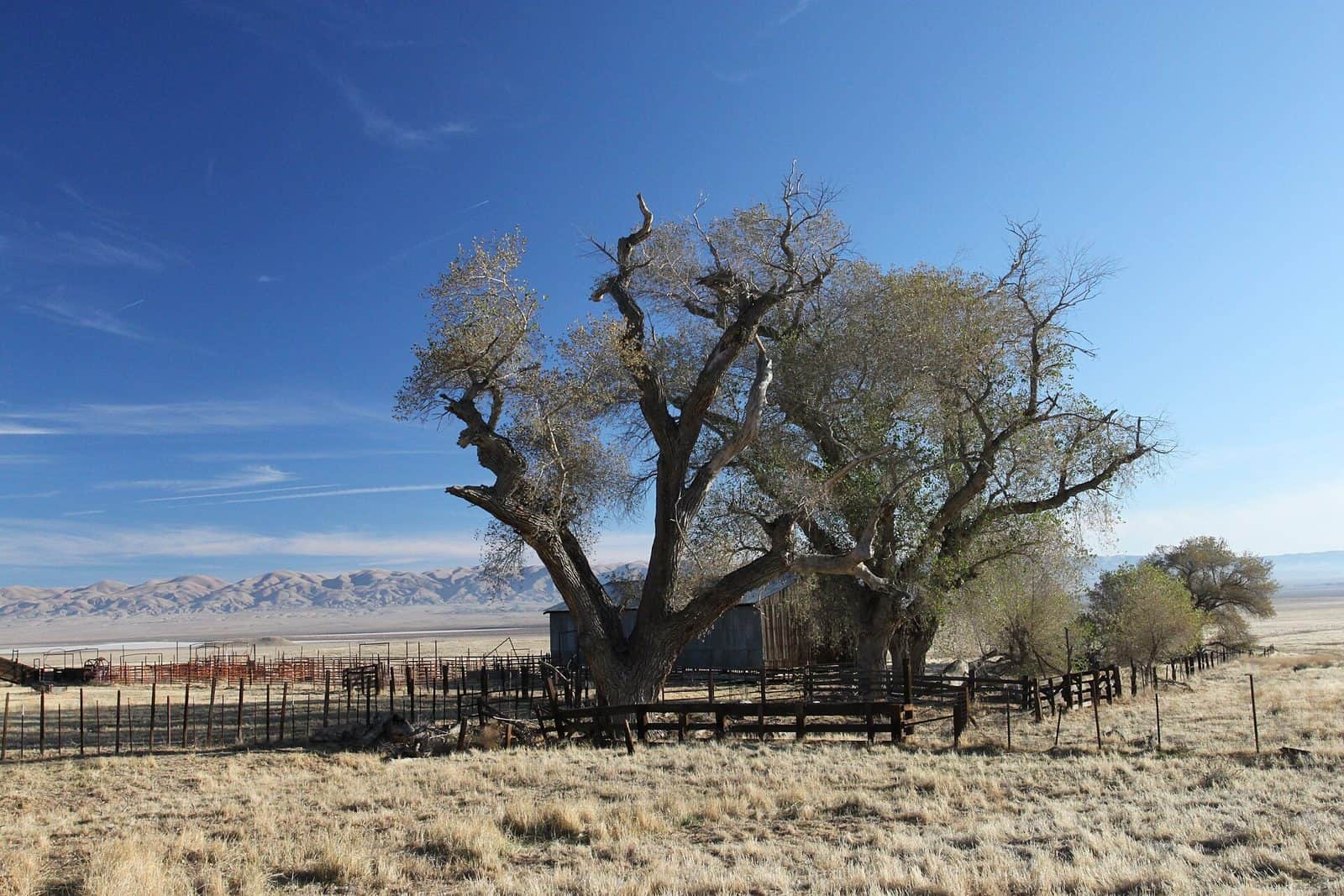
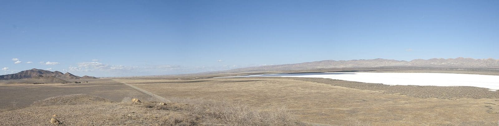
Temblor Recreation Area offers rugged, undeveloped terrain in California’s Coast Ranges, managed by the Bureau of Land Management. The area features over 200 miles of designated routes for OHV riding, making it a destination for off-road enthusiasts seeking challenging backcountry trails.
Dispersed camping is permitted throughout the recreation area, with no developed campgrounds or facilities available. Visitors should arrive fully self-sufficient with water, fuel, and supplies. The remote landscape supports hunting, horseback riding, hiking, and wildlife viewing across its rolling hills and valleys.
Access Note: Legal public access to Temblor Recreation Area is currently limited. The BLM is working to develop improved access points and staging areas. Before planning a trip, contact the Bakersfield Field Office at 661-391-6000 for current road conditions and access information.
The best time to visit is fall through spring, when temperatures are moderate. Summer months bring intense heat to this exposed terrain. Photographers and birders will find opportunities in the grasslands and oak woodlands that characterize the region.
Come prepared for primitive conditions and limited cell service in this remote BLM landscape.
Explore Nearby
- Tule Elk State Natural Reserve — State Park in California
- Los Padres National Forest — National Forest in California
- Fort Tejon State Historic Park — State Park in California
- Santa Barbara Light — Lighthouse in California
- Route One, San Luis Obispo North Coast Byway — Scenic Byway in California