
Point Sal
California
Point Sal is a 77-acre promontory on the coast of northern Santa Barbara County near the north end of Vandenberg Air Force Base. It is a fragile area, with sandy soil and a unique blend of wildlife. Sea lions, mussels, and deer can be found just yards from one another. Threatened or endangered species such as the peregrine falcon, California brown pelican, California least tern, southern sea otter, and California gray whale are regulars at Point Sal. The area is also a unique meeting point and transition zone for tidepool life and plant life common to the northern and southern coasts of California. There is abundant evidence of Native American occupation as recently as 250 years ago and as far back as 4,800 years ago. Rock rings where homes once stood, grinding stones, and other Native American artifacts are easily visible. Point Sal is managed by BLM as an Area of Critical Environmental Concern.
Explore Nearby
- Point Sal State Beach — State Park in California
- Oceano Dunes State Vehicular Recreation Area — State Park in California
- Point San Luis Light — Lighthouse in California
- Point Arguello Light — Lighthouse in California
- Route One, San Luis Obispo North Coast Byway — Scenic Byway in California
Nearby Discoveries
10 places to explore within 30 miles

Point Sal State Beach
0.9 miles away · 4.5 ★
California Coastal National Monument
12.6 miles away
Oceano Dunes State Vehicular Recreation Area
14.2 miles away · 4.7 ★
Pismo State Beach
15.3 miles away · 4.8 ★
Point San Luis Light
18.5 miles away
La Purísima Mission State Historic Park
21.5 miles away · 4.8 ★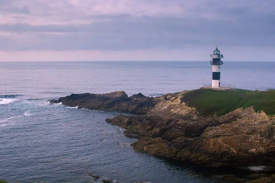
Point Arguello Light
22.5 miles away
Route One, San Luis Obispo North Coast Byway
26.2 miles away
Montaña de Oro State Park
26.6 miles away · 4.9 ★
