
Osar Lake Trail
Alaska
Located at milepost 37 on the south side of the Denali Highway, Osar Lake trail provides access to Osar lake and sweeping views of the Maclaren River basin.
This trail lies within the Tangle Lakes Archaeological District (TLAD). Please stay on designated trails, which are marked with green dotted signs. Red dotted signs within the TLAD are not open to motorized use, unless 6 inches of frozen ground or 12 inches of snow cover are present.
This trail is usually dry and is recommended for hiking, mountain bikes, and 4 wheelers. August and September brings heavy concentrations of hunters along this route. Trail is 7.2 miles long.
Explore Nearby
- Ziegler Cove State Marine Park — State Park in Alaska
- Worthington Glacier State Recreation Site — State Park in Alaska
- Tongass National Forest — National Forest in Alaska
- Chugach National Forest — National Forest in Alaska
- Seward Highway — Scenic Byway in Alaska
Nearby Discoveries
11 places to explore within 30 miles
10 Public Lands
1 State Park

Public Land
South Landmark Gap Trail
0 miles away · 5.0 ★
Public Land
Tangle Lakes Foot Trail
3 miles away · 4.9 ★
Public Land
Swede Mountain Trail
4.8 miles away · 4.8 ★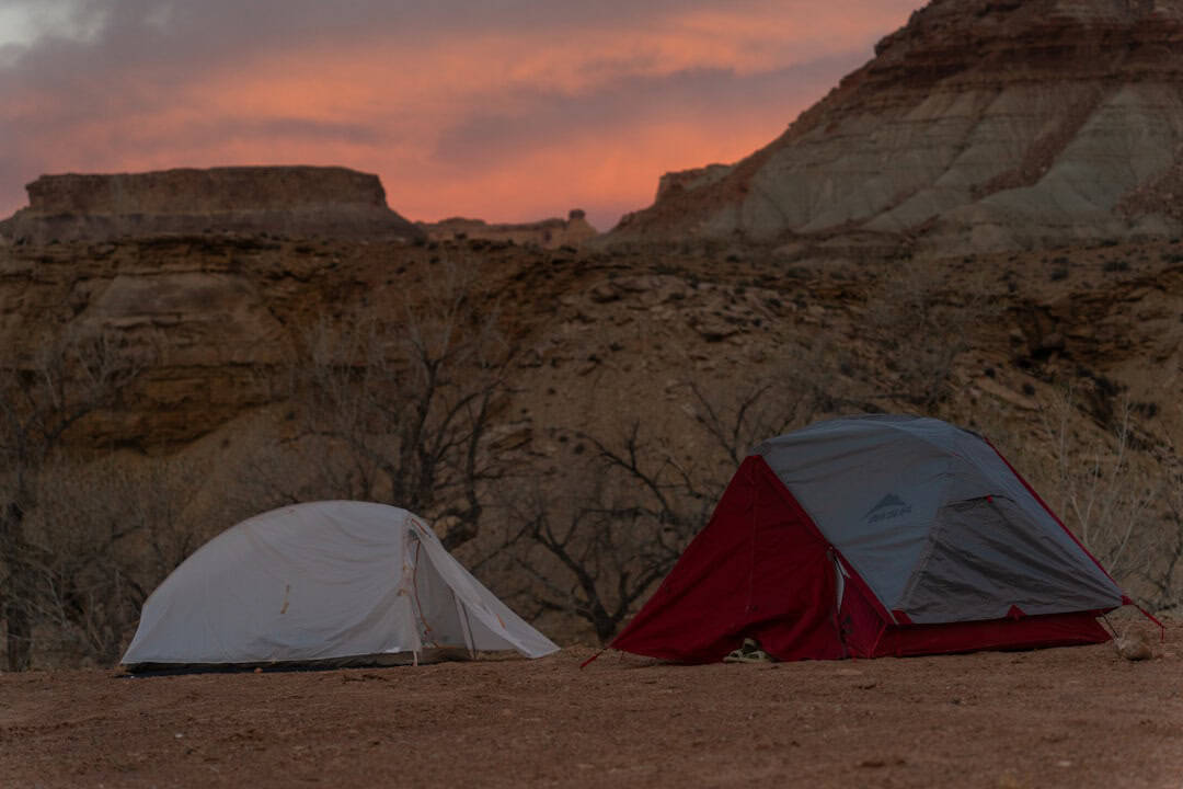
Public Land
Swede Lake Trail
9 miles away
State Park
Fielding Lake State Recreation Site
16.6 miles away · 4.3 ★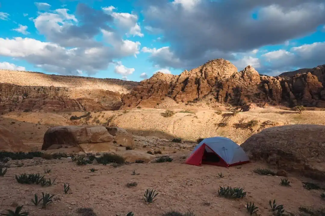
Public Land
Delta Wild and Scenic River
16.8 miles away
Public Land
Richardson Highway
20.3 miles away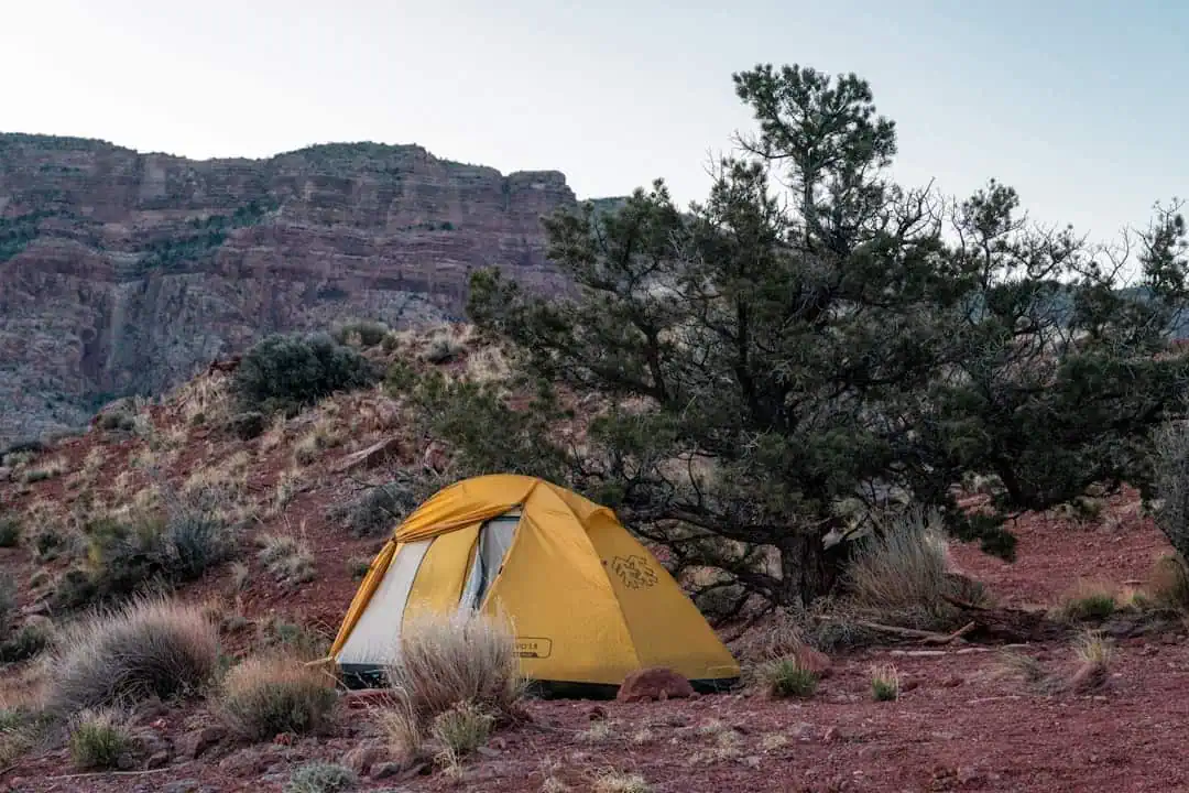
Public Land
Gulkana Wild and Scenic River
20.9 miles away
Public Land
Clearwater Creek Wayside
24.4 miles away · 4.9 ★
Public Land
Gillespie Lake
27.4 miles away · 4.6 ★
Public Land
