
Dominguez-Escalante National Conservation Area
Managed by the Bureau of Land Management, this western Colorado conservation area encompasses the remote Dominguez Canyon Wilderness and stretches along the Gunnison River corridor. The rugged terrain features deep sandstone canyons, desert bluffs, and geological formations spanning 1.4 billion years.
Recreation: Hiking trails wind through the wilderness area, while the Gunnison River provides opportunities for fishing, kayaking, and other water sports. Mountain biking and OHV trails cover designated routes outside wilderness boundaries. Horseback riding, hunting, and wildlife viewing draw visitors throughout the year. The dramatic canyon scenery makes this area popular with photographers.
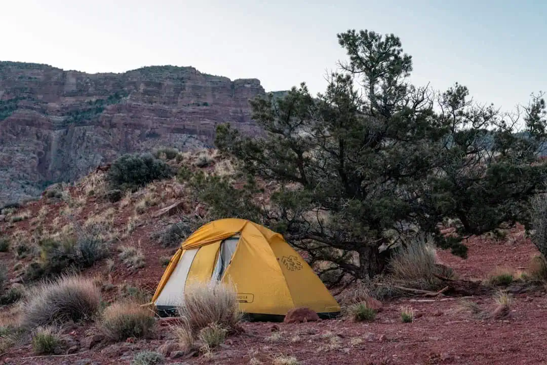
Camping: Both developed camping facilities and dispersed camping are available. Dispersed camping is permitted on BLM land outside designated wilderness areas, following Leave No Trace principles. Check current fire restrictions before your trip.
Access &038; Timing: High-clearance vehicles are recommended for backcountry roads. Spring and fall offer the most comfortable temperatures for hiking and camping, while summer brings peak conditions for river activities. Winter access may be limited by snow on upper elevation roads.
Explore Nearby
- Sweitzer Lake State Park — State Park in Colorado
- James M. Robb – Colorado River State Park — State Park in Colorado
- Dinosaur Diamond Scenic and Historic Byway — Scenic Byway in Colorado
- Uncompahgre National Forest — National Forest in Colorado
- Unaweep Tabeguache Scenic Byway — Scenic Byway in Colorado
Nearby Discoveries
12 places to explore within 30 miles
Tabeguache Trail
16.9 miles away
Sweitzer Lake State Park
18.3 miles away · 4.3 ★
Bangs Backcountry
19.3 miles away · 4.5 ★
Bangs Canyon OHV Trails
22.8 miles away · 4.7 ★
Mica Mine/Rough Canyon
22.8 miles away · 4.7 ★
James M. Robb – Colorado River State Park
24.1 miles away · 4.6 ★
Lunch loops Community Rec Area
26.2 miles away · 4.8 ★
Calamity Camp Mining Site
26.3 miles away · 4.4 ★
Dinosaur Diamond Scenic and Historic Byway
26.7 miles away
The Little Book Cliffs Wilderness Study Area
28.7 miles away · 4.5 ★
Gunnison Gorge Wilderness
29.4 miles away · 4.7 ★
