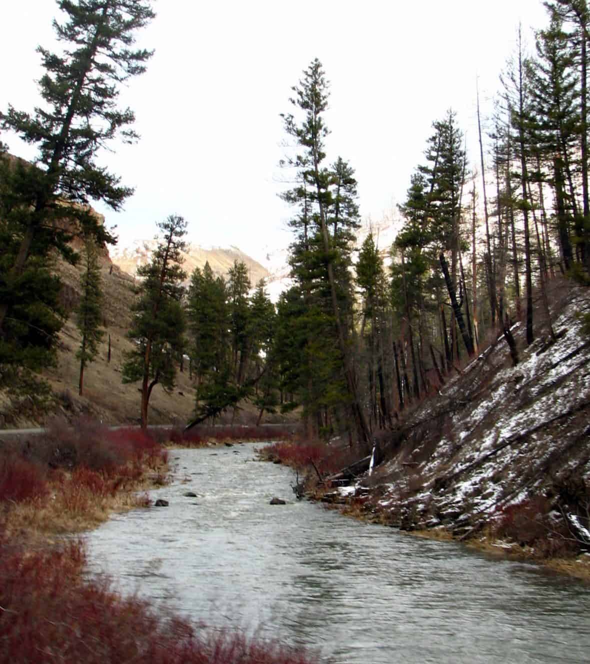
Ukiah–Dale Forest State Scenic Corridor stretches along a beautiful section of US Route 395 in Eastern Oregon, offering travelers a forested passage through the Blue Mountains between the small towns of Ukiah and Dale. This scenic corridor preserves a ribbon of ponderosa pine and mixed conifer forest that frames one of Oregon’s most underrated drives.
The corridor follows the North Fork John Day River and Camas Creek through a landscape shaped by volcanic history and centuries of wildfire cycles. Towering ponderosa pines give way to open meadows where elk herds are a common sight, particularly during early morning and evening hours. The surrounding North Fork John Day Wilderness and Umatilla National Forest make this area one of Oregon’s richest zones for wildlife viewing — look for mule deer, wild turkeys, and red-tailed hawks alongside the road.
Outdoor activities center on the river and surrounding forest. Fishing for steelhead and native trout draws anglers to the North Fork John Day, while hunters frequent the area during fall seasons. Hiking trails branch off into the adjacent wilderness areas. The small town of Ukiah serves as a gateway to the region, with basic services and a welcoming rural character.
The best time to visit is late spring through early fall, when roads are clear and wildflowers blanket the meadows. Winters bring snow and potential road closures at higher elevations. Come prepared for limited cell service and few amenities — this is remote, unhurried Oregon at its most authentic.
Explore Nearby
- Umatilla National Forest — National Forest in Oregon, Washington
- John Day Wild and Scenic River — Public Land in Oregon
- South Fork John Day River Back Country Byway — Public Land in Oregon
- Malheur National Forest — National Forest in Oregon
- Clover Island Light — Lighthouse in Washington

