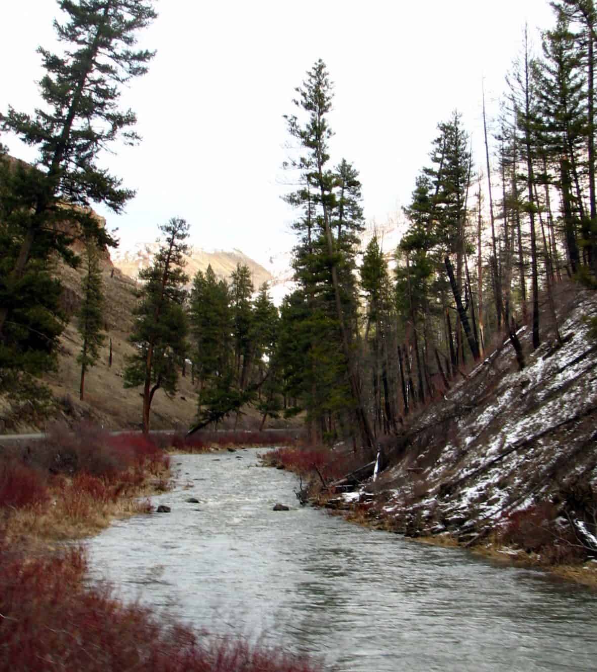
Spanning 1.4 million acres across the Blue Mountains of northeastern Oregon and southeastern Washington, Umatilla National Forest offers rugged high-country terrain shaped by ancient volcanic activity and carved by countless streams. Established in 1908, this forest remains one of the Pacific Northwest’s most expansive wild spaces, with elevations ranging from river canyons to 8,000-foot peaks.
The forest’s 21 campgrounds provide base camps for exploration, including Woodward Campground and Caretakers Cabin for those seeking developed sites, or more remote options like Congo Gulch and Miners Retreat for solitude seekers. The extensive trail system accommodates hikers, horseback riders, and OHV enthusiasts, with designated routes winding through ponderosa pine forests and alpine meadows.
Anglers find excellent trout fishing in the forest’s cold-water streams, while hunters pursue elk, mule deer, and upland game birds across the diverse terrain. Winter transforms the landscape into skiing territory at Spout Springs Ski Area, offering downhill runs and cross-country trails when snow blankets the Blue Mountains.
The North Fork Umatilla Wilderness and Wenaha-Tucannon Wilderness protect pristine backcountry areas where rafters tackle whitewater sections during spring runoff. Wildlife watchers spot Rocky Mountain elk herds, black bears, and over 200 bird species throughout the year.
Access the forest via Elgin, Oregon, the nearest gateway community. Summer and early fall provide the longest access window, though snow closes high-elevation roads from November through May. Forest headquarters in Pendleton offers maps, permits, and current conditions.
Explore Nearby
- Battle Mountain Forest State Scenic Corridor — State Park in Oregon
- Ukiah–Dale Forest State Scenic Corridor — State Park in Oregon
- Wallowa & Grande Ronde Wild and Scenic Rivers — Public Land
- South Fork Walla Walla River ACEC — Public Land in Oregon
- Clover Island Light — Lighthouse in Washington