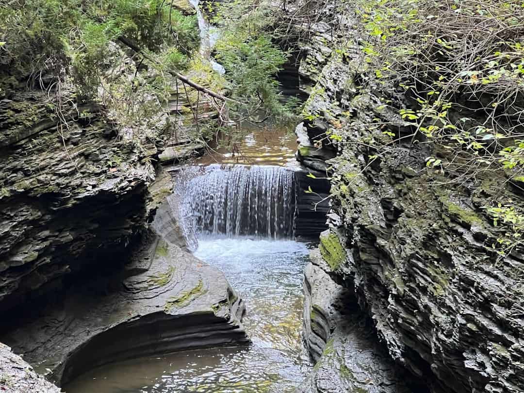
Bristol Blake State Reservation
Massachusetts (Norfolk42°6′28.6″N 71°19′5″W / 42.107944°N 71.31806°W / 42.107944; -71.31806 (Bristol Blake State Reservation) County)
Bristol Blake State Reservation sits on 140 acres in Norfolk County, Massachusetts, offering a quiet escape into the wooded landscapes south of Boston. Located at the coordinates 42.1079°N, 71.3181°W, this state park occupies a stretch of mixed hardwood forest, wetlands, and gentle terrain that feels far removed from the suburban sprawl nearby.
The reservation is best known for its network of well-maintained trails that wind through oak-hickory woodlands and past seasonal wildflower meadows. Hikers, trail runners, and dog walkers will find easy-to-moderate paths suitable for a morning outing or a longer afternoon exploration. Birdwatchers should bring binoculars — the mix of forest edge and wetland habitat attracts warblers, woodpeckers, and raptors throughout the year. In winter, the trails are popular with snowshoers and cross-country skiers when conditions allow.
The park’s relatively compact size makes it ideal for families and casual visitors who want a genuine nature experience without committing to an all-day trek. Several loop trails can be combined for longer routes, and the terrain is forgiving enough for younger hikers to enjoy.
Spring and fall are the standout seasons here. April and May bring trillium and lady slippers to the forest floor, while October transforms the canopy into a showcase of New England color. Summer visits are pleasant but can be buggy near the wetland areas — pack repellent.
There are no camping facilities at Bristol Blake State Reservation. Visitors should plan this as a day-use destination and check with Massachusetts DCR for current trail conditions and seasonal access.
Explore Nearby
- Sassafras Point Light — Lighthouse in Rhode Island
- Fuller Rock Light — Lighthouse in Rhode Island
- Meteor Lakes Byway — Scenic Byway in North Carolina
- Swamp Meadow Bridge — Covered Bridge in South Carolina
- Quinebaug River Bridge — Covered Bridge in Massachusetts
Photos

Nearby Discoveries
12 places to explore within 30 miles

World War II Memorial State Park
12 miles away
Wilson Mountain Reservation
12.1 miles away
Blackstone River Bikeway State Park
12.8 miles away
Stony Brook Reservation
13.4 miles away
Francis D. Martini Memorial Shell Park and Moynihan Recreation Area
13.6 miles away
Hopkinton State Park
14.8 miles away
Hemlock Gorge Reservation
15 miles away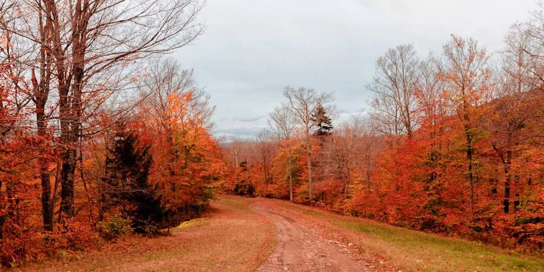
Watson Pond State Park
15.1 miles away
Lincoln Woods State Park
15.7 miles away
Whitehall State Park
16 miles away
Upton State Forest
16.5 miles away