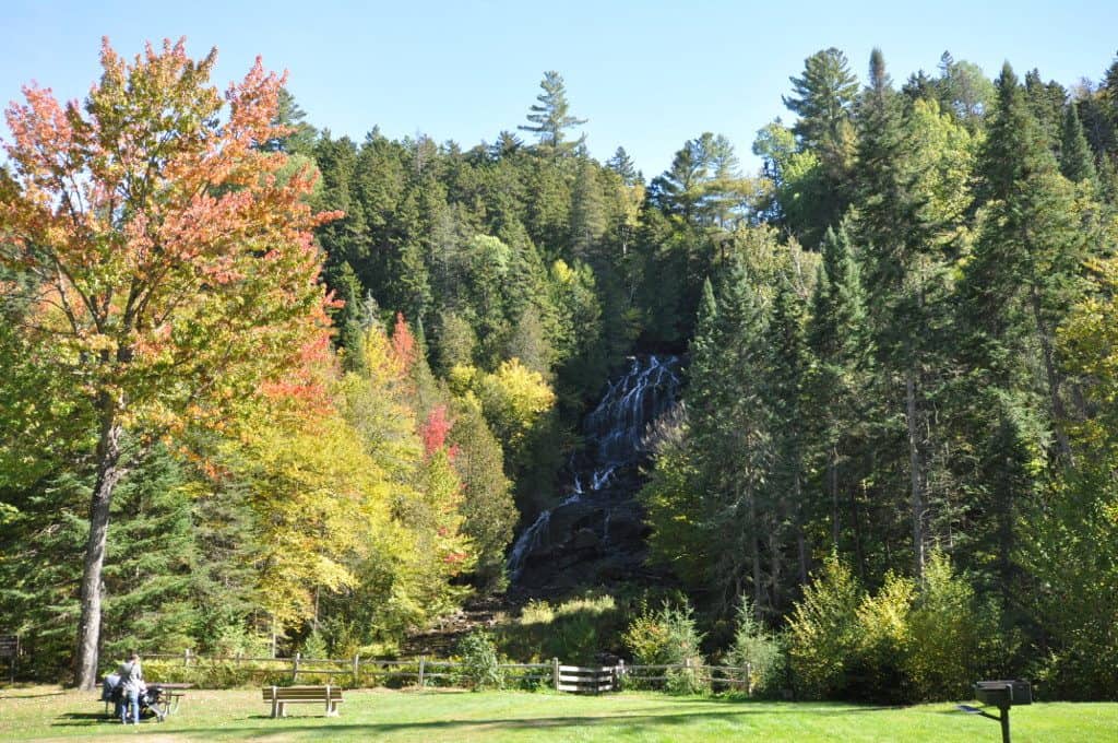
Tucked into the northern reaches of Coös County, Beaver Brook Falls Wayside packs a stunning surprise into its compact 7.3 acres. The star attraction is unmistakable: a striking waterfall that cascades roughly 35 feet down a rock face, visible almost immediately from the roadside parking area. Few waterfalls in New Hampshire offer this kind of payoff with so little effort — you can literally see the falls from your car.
A short, easy path leads from the pulloff to the base of the falls, making this an ideal stop for families with young children, travelers with limited mobility, or anyone breaking up a long drive through the North Country. The mist from the falls keeps the surrounding area lush and cool even on warm summer days, and the rocky pools at the base invite wading (though the water stays bracingly cold year-round).
The wayside is best visited from late spring through early fall. Snowmelt in May and June produces the most dramatic water volume, while autumn brings a fiery backdrop of foliage against the dark rock. Winter visits are possible but the access road and conditions can be unpredictable.
This is a day-use stop rather than a destination — there are no camping facilities, restrooms, or developed amenities on-site. Plan to spend 20 to 45 minutes here. Beaver Brook Falls Wayside sits along Route 145 between Colebrook and Pittsburg, making it a natural addition to any itinerary exploring the Connecticut Lakes region or heading toward the Canadian border.


