North Carolina, located in the southeastern region of the United States, is a state known for its stunning natural beauty, rich history, and vibrant culture. With its picturesque coastline, towering mountains, and charming small towns, North Carolina offers a unique blend of nature and culture. To help visitors and residents navigate this beautiful state, we have created a detailed map of North Carolina with cities and highways.
This map highlights North Carolina’s major cities, including Charlotte, Raleigh, Greensboro, and Asheville, as well as its primary highways and roads. Whether you’re planning a road trip or simply want to explore North Carolina’s unique landscape and culture, this map is an essential tool. So, grab your map and get ready to discover all that North Carolina has to offer, from its world-renowned beaches to its historic landmarks and everything in between.
Printable North Carolina Map With Cities and Highways

Cities
Raleigh

Raleigh, the capital city of the state of North Carolina and the seat of Wake County in the United States, is the second-most populous city in North Carolina, after Charlotte. Known as the “City of Oaks” for its many oak trees, which line the streets in the heart of the city, Raleigh covers a land area of 147.6 sq mi (382 km2) and has a population of 467,665 according to the 2020 census.
Raleigh is one of the fastest-growing cities in the United States and is the largest city in the Research Triangle metro area, which includes Durham and Chapel Hill. The Research Triangle is home to several universities, including North Carolina State University (NC State or NCSU), Duke University, and the University of North Carolina at Chapel Hill.
Raleigh was chosen as the site of the state capital in 1788 and incorporated in 1792. The city was originally laid out in a grid pattern with the North Carolina State Capitol at the center, in Union Square. By the early 21st century, Raleigh had become a hub for science and technology with the establishment of the Research Triangle Park (RTP) in 1959, which created tens of thousands of jobs.
Greensboro

Greensboro is a city in and the county seat of Guilford County, North Carolina, United States. It is the third-most populous city in North Carolina after Charlotte and Raleigh, the 69th-most populous city in the United States, and the most populous city in the Piedmont Triad metropolitan region. The city was planned in 1808 around a central courthouse square to succeed Guilford Court House as the county seat.
Greensboro is home to several notable attractions, including the Greensboro Science Center, the International Civil Rights Museum, The Steven Tanger Center for the Performing Arts, the Weatherspoon Art Museum, the Greensboro Symphony, and the Greensboro Ballet. The Greensboro Coliseum Complex hosts a variety of major sporting events, concerts, and other events, including the ACC men’s basketball tournament and the ACC women’s basketball tournament.
Local professional teams include the Greensboro Grasshoppers of the South Atlantic Baseball League, the semi-pro Carolina Dynamo soccer club of USL League Two, and the amateur Greensboro Roller Derby. The city is also home to four NCAA programs and the Sedgefield Country Club, which features a Donald Ross course and is the current host to the annual PGA Tour event Wyndham Golf Championship.
Durham

Durham is a city in the U.S. state of North Carolina and the county seat of Durham County. With a population of 283,506 in the 2020 census, Durham is the 4th-most populous city in North Carolina and the 74th-most populous city in the United States.
The city is located in the east-central part of the Piedmont region along the Eno River. Durham is the core of the four-county Durham-Chapel Hill, NC Metropolitan Statistical Area, which had a population of 649,903 at the 2020 census. The city is home to several recognized institutions of higher education, most notably Duke University and North Carolina Central University.
Duke and its Duke University Health System are the largest employers in the city. Durham underwent revitalization and population growth to become an educational, medical, and research center. Other notable sites in the city include the Museum of Life and Science, Durham Performing Arts Center, Carolina Theatre, and Duke Homestead and Tobacco Factory. The city is served, along with Raleigh, by Raleigh–Durham International Airport.
Winston-Salem

Winston-Salem is a city in and the county seat of Forsyth County, North Carolina, United States. In the 2020 census, the population was 249,545, making it the second-largest municipality in the Piedmont Triad region, the fifth-most populous city in North Carolina, the third-largest urban area in North Carolina, and the 90th-most populous city in the United States.
Winston-Salem is called the “Twin City” for its dual heritage, and “the Camel City” is a reference to the city’s historic involvement in the tobacco industry related to locally based R. J. Reynolds’ Camel cigarettes. The city is home to six colleges and institutions, most notably Wake Forest University, Winston-Salem State University, and the University of North Carolina School of the Arts, which ranks as one of the best arts schools in America.
In 2021, the city ranked 46th out of 150 cities on the “Best Places to Live” list from U.S. News & World Report. Winston-Salem is also home to the tallest office building in the region, 100 North Main Street, formerly known as the Wachovia Building and now known locally as the Wells Fargo Center.
Fayetteville
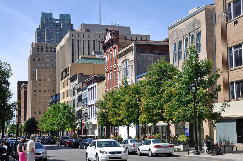
Fayetteville is a city in and the county seat of Cumberland County, North Carolina, United States. It is best known as the home of Fort Liberty, a major U.S. Army installation northwest of the city. Fayetteville has received the All-America City Award from the National Civic League three times.
As of the 2020 census, it had a population of 208,501, making it the 6th-most populous city in North Carolina. Fayetteville is located in the Sandhills in the western part of the Coastal Plain region, on the Cape Fear River.
The Fayetteville metropolitan area is the largest in southeastern North Carolina and the fifth-largest in the state, with a population of 529,252 people in 2020. Suburban areas of metro Fayetteville include Fort Liberty, Hope Mills, Spring Lake, Raeford, Pope Field, Rockfish, Stedman, and Eastover.
Cary
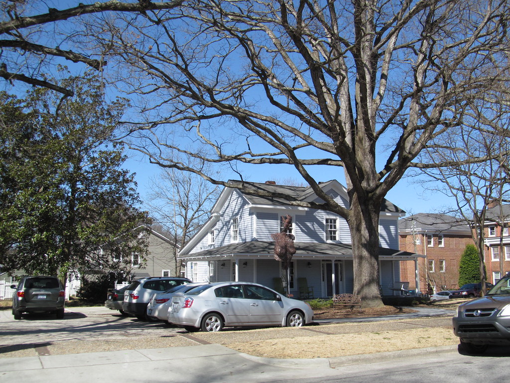
Cary is a town in Wake, Chatham, and Durham counties in the U.S. state of North Carolina and is part of the Raleigh-Cary, NC Metropolitan Statistical Area. According to the 2020 Census, its population was 174,721, making it the seventh largest municipality in North Carolina, and the 148th largest in the United States.
In 2022, the town’s population had increased to 180,388. Cary began as a railroad village and became known as an educational center in the late 19th and early 20th centuries. The creation of the nearby Research Triangle Park in 1959 resulted in Cary’s population doubling in a few years, tripling in the 1970s, and doubling in both the 1980s and 1990s.
Cary is now the location of numerous technology companies, including the world’s largest privately held software company. The town has a highly educated population, with 68.4% of adults holding a bachelor’s degree or higher, which is higher than the state average. Cary has also been identified as the safest mid-sized place to live in the United States, based on 2019 FBI data. It also has a high median household income of $113,782, higher than the county average of $88,471 or the state average of $60,516.
Wilmington
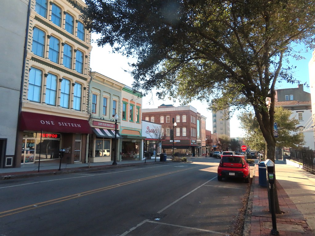
Wilmington is a port city in and the county seat of New Hanover County in coastal southeastern North Carolina, United States. With a population of 115,451 in the 2020 census, it is the eighth-most populous city in the state. Wilmington is the principal city of the Wilmington, NC Metropolitan Statistical Area, which includes New Hanover and Pender counties in southeastern North Carolina, which had a population of 285,905 in 2020.
The city’s historic downtown has a 1.75-mile riverwalk, developed as a tourist attraction in the late 20th century. In 2014, Wilmington’s riverfront was ranked as the “Best American Riverfront” by readers of USA Today. The National Trust for Historic Preservation selected Wilmington as one of its 2008 Dozen Distinctive Destinations.
Wilmington is home to the University of North Carolina Wilmington (UNCW), which provides a wide variety of programs for undergraduates, graduate students, and adult learners, in addition to cultural and sports events open to the community. The city is also known for its nearby beach communities, including Fort Fisher, Wrightsville Beach, Carolina Beach, and Kure Beach.
Wilmington has a rich history, including the Wilmington massacre of 1898, in which white supremacists overthrew the legitimately elected local Fusionist government and killed an estimated 60 to more than 300 people. Wilmington is also home to Cinespace Studios, the largest domestic television and movie production facility outside California, which has produced numerous movies and television shows, including Iron Man 3, The Conjuring, and One Tree Hill.
High Point
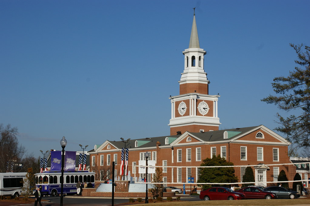
High Point is a city in the Piedmont Triad region of the U.S. state of North Carolina. Most of the city is in Guilford County, with parts extending into Randolph, Davidson, and Forsyth counties, making it North Carolina’s only city that extends into four counties. As of the 2020 census, the city had a total population of 114,059, making it the ninth-most populous in North Carolina, the third-largest municipality in the Piedmont Triad, and the 259th-most populous city in the U.S.
High Point is known for its major industries, including furniture, textiles, and bus manufacturing. The city’s official slogan is “North Carolina’s International City,” due to the semi-annual High Point Furniture Market that attracts 100,000 exhibitors and buyers from around the world.
High Point is also home to High Point University, a private Methodist-affiliated institution founded in 1924. The university is known for its beautiful campus and strong academic programs, including business, education, and health sciences.
Concord

Concord is the county seat and most populous city in Cabarrus County, in the U.S. state of North Carolina. At the 2020 census, the city had a population of 105,240, making it the second-most populous city in the Charlotte metropolitan area, the 10th most populous city in North Carolina, and the 287th most populous city in the U.S. Concord was a winner of the All-America City Award in 2004.
Located near the center of Cabarrus County in the Piedmont region, it is 20 miles northeast of Uptown Charlotte. Concord is a popular tourist destination, home to some of North Carolina’s top attractions, including NASCAR’s Charlotte Motor Speedway and Concord Mills.
The Speedway hosts several major NASCAR events each year, including the Coca-Cola 600 and the Bank of America 500, and is one of the largest sports venues in the country. Concord Mills is one of the largest shopping malls in the region, with over 200 stores and restaurants. Concord is also home to several historic sites, including the Reed Gold Mine, which was the site of the first documented gold find in the United States.
Asheville
Asheville is a city in, and the county seat of, Buncombe County, North Carolina, United States. Located at the confluence of the French Broad and Swannanoa rivers, it is the largest city in Western North Carolina, and the state’s 11th-most populous city. According to the 2020 census, the city’s population was 94,589, up from 83,393 in the 2010 census.
Asheville is a popular tourist destination, known for its vibrant arts scene, historic architecture, and natural beauty. The city is home to the Biltmore Estate, a historic mansion and gardens built by George Vanderbilt in the late 19th century, which is now a popular tourist attraction. Asheville is also known for its craft breweries, with over 40 breweries in the city and surrounding area.
The city has been named one of the top 10 beer destinations in the world by CNN, and one of the top 10 food and wine destinations in the United States by TripAdvisor. Asheville is the principal city in the four-county Asheville metropolitan area, which had a population of 424,858 in 2010, and 469,015 in 2020.
Greenville

Greenville is the county seat and most populous city of Pitt County, North Carolina, United States. It is the principal city of the Greenville, NC Metropolitan Statistical Area, and the 12th-most populous city in North Carolina. Greenville is a hub for health, entertainment, and education in North Carolina’s Tidewater and Coastal Plain regions.
The city’s population has continued to increase, with a majority of the influx being seen during the 20th and early 21st centuries. Greenville is home to several major companies, including Grady-White Boats, Hyster-Yale Group, Thermo Fisher Scientific, and Denso, among others, which have moved their regional, national, and international headquarters to the city.
Greenville is also home to East Carolina University, the fourth-largest university in the University of North Carolina system, and ECU Health Medical Center, the flagship hospital for ECU Health and the teaching hospital for the Brody School of Medicine. The university provides a wide variety of undergraduate and graduate programs and is known for its strong programs in health sciences, education, and business.
Gastonia
Gastonia is the most populous city and county seat of Gaston County, North Carolina, United States. It is the second-largest satellite city in the Charlotte area, behind Concord. The population was 80,411 in the 2020 census, up from 71,741 in 2010, making it the 13th most populous city in North Carolina. Gastonia is part of the Charlotte-Concord-Gastonia, NC-SC Metropolitan Statistical Area, which is part of the Charlotte-Concord, NC-SC Combined Statistical Area.
The city has a rich history in textile manufacturing and was the site of the Loray Mill Strike of 1929, which became a key event in the labor movement. While manufacturing remains important to the local economy, Gastonia has also developed strong healthcare, education, and government sectors.
The city is home to CaroMont Health, a not-for-profit healthcare system that includes a hospital and several medical centers, and Gaston College, a community college that offers a wide range of degree and certificate programs. Gastonia is also home to several local and state government offices, including the Gaston County Courthouse and the Gastonia Police Department.
Apex
Apex is a town in Wake County, North Carolina, United States. At its southern border, Apex encompasses the community of Friendship. The town is known for its historic downtown area, which was designated a historic district in 1994. The Apex train depot, built in 1867, is also designated a Wake County landmark. The depot location marks the highest point on the old Chatham Railroad, hence the town’s name.
The town motto is “The Peak of Good Living.” In the late 19th century, Apex developed as a small community around the railroad station. The forests were cleared for farmland, much of which was dedicated to tobacco farming. Since Apex was near the state capital, it became a trading center, and the railroad shipped products such as lumber, tar, and tobacco.
The town was officially incorporated in 1873, and by 1900, it had a population of 349. As of the 2020 census, its population was 58,780, with a population boom occurring primarily in the late 1990s due to the Research Triangle Park, which was established in the 1960s and created a strong demand for technology workers. Apex is currently the 18th-largest municipality in North Carolina.
Jacksonville
Jacksonville is a city in Onslow County, North Carolina, United States. As of the 2020 census, the population was 72,723, making it the 14th-most populous city in North Carolina. Jacksonville is the county seat and most populous community of Onslow County, which is coterminous with the Jacksonville, NC Metropolitan Statistical Area.
The city has a unique demographic, with an average age of 22.8 years old, making it the youngest city in the United States. This can be attributed to the large military presence in the area, as Jacksonville is home to the United States Marine Corps Camp Lejeune and New River Air Station. The city’s population has drastically increased over the past 80 years, from 783 in the 1930 census to 72,876 in the 2021 Census estimate.
Jacksonville is located adjacent to North Carolina’s Crystal Coast area, which is known for its beautiful beaches and outdoor recreation opportunities. The city offers a range of amenities and services, including shopping, dining, and entertainment options, as well as a variety of parks and recreational facilities.
Huntersville
Huntersville is a large suburban town in Mecklenburg County, North Carolina, United States. At the 2020 census, its population was 61,376, making it the 15th most populous municipality in North Carolina. The town is located in the Charlotte metropolitan area, just 14 miles (23 km) north of Charlotte.
Huntersville is known for its beautiful natural surroundings, including several parks and nature preserves that offer opportunities for hiking, fishing, and other outdoor activities. The town also has a thriving business community, with several major companies located in the area, including Lowe’s Home Improvement, which has its corporate headquarters in Huntersville.
The town has experienced significant growth in recent years, with new residential and commercial developments springing up throughout the area. Despite its rapid growth, Huntersville has managed to maintain its small-town charm and community-oriented spirit, making it a popular destination for families and young professionals alike.
Chapel Hill
Chapel Hill is a charming town located in Orange and Durham counties in the U.S. state of North Carolina. With a population of 61,960 in the 2020 census, Chapel Hill is the 17th-largest municipality in the state. The town is part of the Research Triangle, along with Durham and Raleigh, and together they form the Raleigh–Durham–Cary, NC Combined Statistical Area, with a total population of 2,106,463 in the 2020 census.
Chapel Hill has a rich history, having been founded in 1793 and centered around Franklin Street, covering 21.3 square miles (55 km2). The town boasts several districts and buildings listed on the National Register of Historic Places, including the Old Chapel Hill Cemetery and the Chapel Hill Historic District.
The University of North Carolina at Chapel Hill and UNC Health Care are major economic drivers in the area, and the university is renowned for its academic programs and research. The town is also known for its vibrant arts scene, with local artists having created many murals throughout the town. Overall, Chapel Hill is a wonderful place to live, work, and visit, with its small-town charm, rich history, and thriving community.
Burlington
Burlington is a city located in Alamance and Guilford counties in the U.S. state of North Carolina. It is the principal city of the Burlington, NC Metropolitan Statistical Area, which encompasses all of Alamance County, where most of the city is located, and is a part of the Greensboro–Winston-Salem–High Point, NC Combined Statistical Area.
The city has a population of 57,303 according to the 2020 census, making it the 18th most populous city in North Carolina. Burlington has a rich history in textile manufacturing, with the industry having played a significant role in the city’s growth and development. Today, the city has a diverse economy that includes manufacturing, healthcare, education, and retail.
Burlington is home to several major employers, including LabCorp, a leading provider of diagnostic testing and healthcare services, and Elon University, a private liberal arts university that is consistently ranked among the top universities in the region. The city also offers a range of cultural and recreational opportunities, including several parks and museums, as well as a vibrant downtown area with shops, restaurants, and entertainment venues.
Kannapolis
Kannapolis is a thriving city located in Cabarrus and Rowan counties, in the U.S. state of North Carolina. Situated northwest of Concord and northeast of Charlotte, Kannapolis is a suburb in the Charlotte metropolitan area. The city was incorporated in 1984 and has since grown to become the 19th most populous city in North Carolina, with a population of 53,114 according to the 2020 census.
Kannapolis is known for its rich history in motorsports, as it is the hometown of the Earnhardt racing family, and the headquarters for the Haas F1 racing team. The city is also the home of the Kannapolis Cannon Ballers, the Low-A baseball affiliate of the Chicago White Sox. In addition, the center of the city is home to the North Carolina Research Campus, a public-private venture that focuses on food, nutrition, and biotech research.
The campus is a major economic driver in the area and has attracted some of the world’s leading researchers and scientists. Overall, Kannapolis is a dynamic and growing city that offers a range of opportunities for residents and visitors alike.
Rocky Mount
Rocky Mount is a vibrant city located in Edgecombe and Nash counties in the U.S. state of North Carolina. The city’s population was 54,341 as of the 2020 census, making it the 20th-most populous city in North Carolina at the time. Rocky Mount is situated 45 miles (72 km) east of Raleigh, the state capital.
It is the principal city of the Rocky Mount metropolitan area, often referred to as the “Twin Counties,” with a total population of 143,870 according to the 2020 census. Additionally, Rocky Mount is an anchor city of the Rocky Mount-Wilson-Roanoke Rapids Combined Statistical Area in northeast North Carolina, with a total population of 288,747 as of the 2020 census.
The community at the falls of the Tar River that became the city of Rocky Mount was first settled by traders in the mid-1700s and was incorporated in 1867. Historically strong in rail transportation, textiles, and agriculture, the economy of Rocky Mount has diversified into biomedical pharmaceuticals, manufacturing, and logistics. The city has twice received the All-America City Award from the National Civic League, in 1969 and 1999, and continues to be a hub of economic activity and cultural significance in the region.
Mooresville
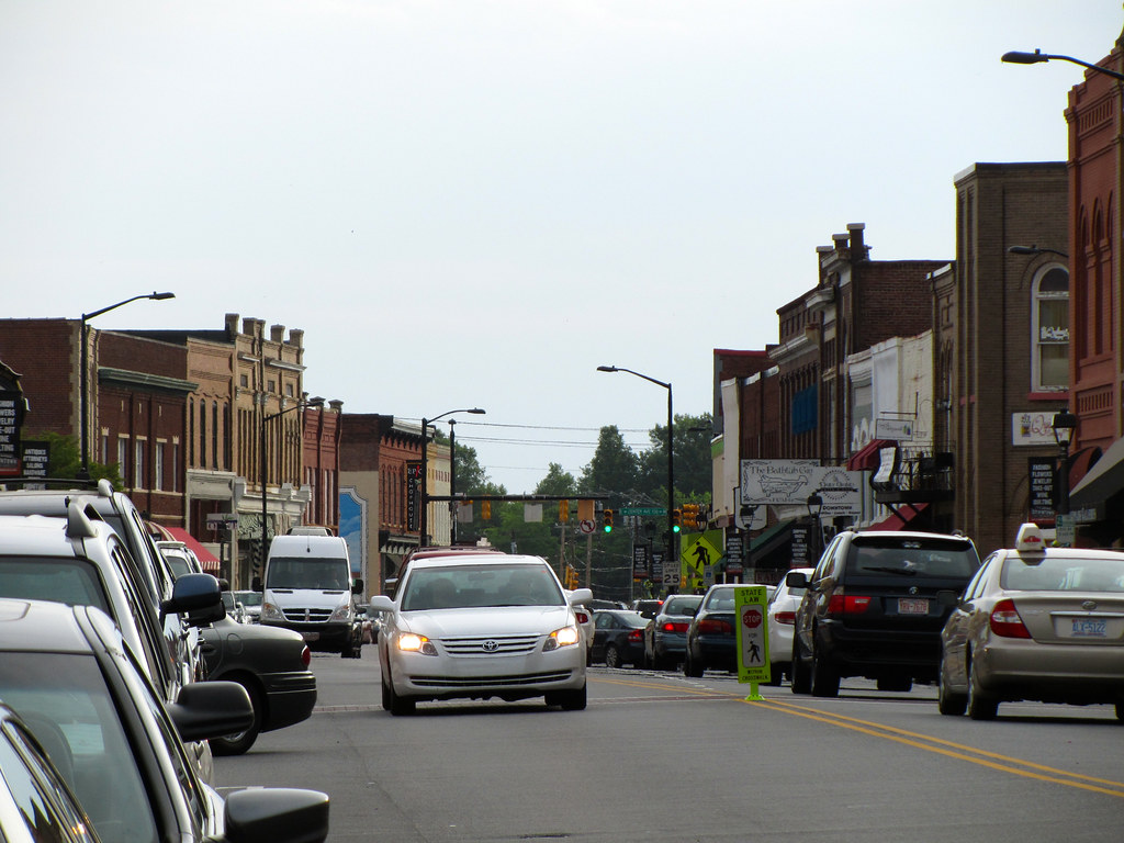
Mooresville is a charming town located in the southwestern section of Iredell County, North Carolina, United States, and is a part of the fast-growing Charlotte metropolitan area. With a population of 50,193 according to the 2020 United States Census, Mooresville is the most populous municipality in Iredell County. The town is located approximately 25 miles (40 km) north of Charlotte and is known for its rich history in motorsports.
Mooresville is home to many NASCAR racing teams and drivers, along with an IndyCar team and its drivers, as well as racing technology suppliers, which has earned the town the nickname “Race City USA”. In addition, Mooresville is home to the corporate headquarters of Lowe’s Corporation and Universal Technical Institute’s NASCAR Technical Institute, which provide significant employment opportunities for residents.
The town offers a range of amenities and services, including shopping, dining, and entertainment options, as well as several parks and recreational facilities. Overall, Mooresville is a wonderful place to live, work, and visit, with its bustling community, rich heritage, and absorbing culture.
Wake Forest
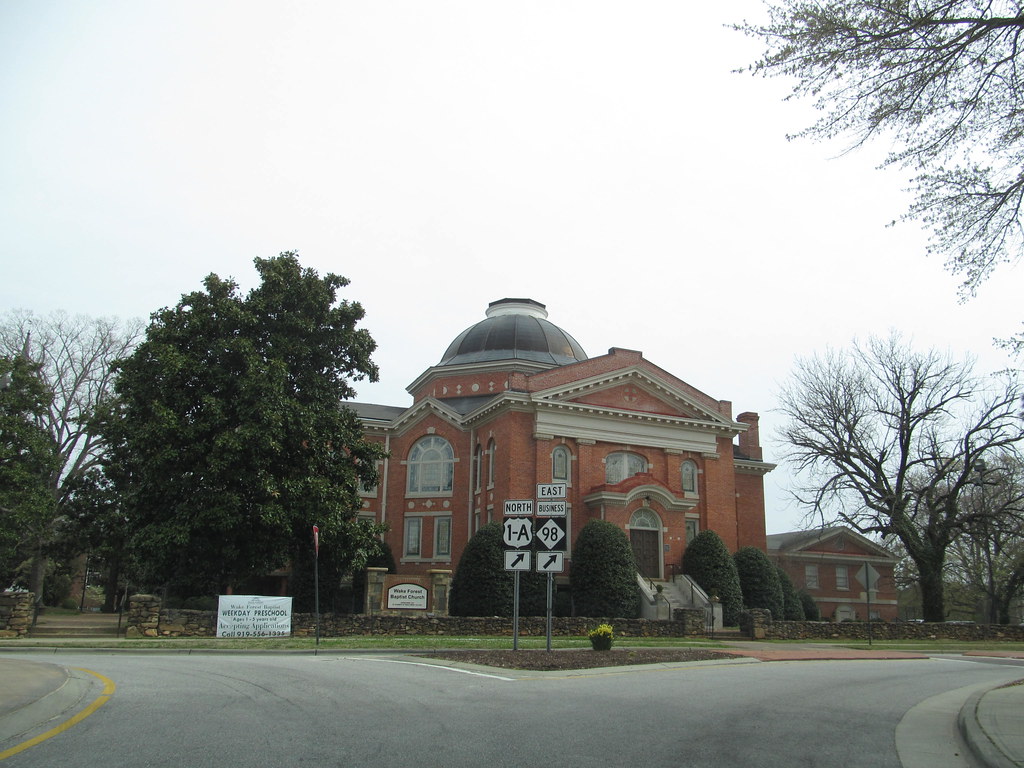
Wake Forest is a charming town located in Franklin, Granville, and Wake counties in the U.S. state of North Carolina. The town lies just north of the state capital, Raleigh, and is almost entirely located in Wake County. With a population of 47,601 according to the 2020 census, Wake Forest has experienced significant growth in recent years, with its population increasing from 12,588 in 2000 to 30,117 in 2010.
The town was listed by Forbes magazine as the 20th fastest-growing suburb in America in 2007, with a 73.2 percent increase in population between 2000 and 2006. Wake Forest was also the original home of Wake Forest University for 122 years before it moved to Winston-Salem in 1956.
The town is included in the Raleigh-Durham-Cary Combined Statistical Area, which has a population of 2,106,463 according to the U.S. Census 2020 Population Estimates. While the Federal Statistical Areas have been redefined, the area still functions as one Research Triangle metropolitan area, colloquially known as The Triangle.
Wake Forest offers a range of amenities and services, including shopping, dining, and entertainment options, as well as several parks and recreational facilities, making it a wonderful choice for families and young professionals alike.
Wilson

Wilson is a charming city located in and the county seat of Wilson County, North Carolina, United States. It is the 23rd most populous city in North Carolina and is located approximately 40 miles (64 km) east of the capital city of Raleigh. The city is served by the interchange of Interstate 95 and U.S. Route 264. According to the U.S. Census Bureau, Wilson had an estimated population of 49,459 in 2019 and is an anchor city of the Rocky Mount-Wilson-Roanoke Rapids CSA, with a total population of 297,726 as of 2018.
The city has experienced significant growth in recent years, with its population increasing by more than 40 percent from 1990 to 2010, primarily due to the construction of new subdivisions that have attracted many new residents. Wilson is a diverse community, with a population that includes African Americans, Whites, Latinos, and Asians such as Vietnamese, Chinese, and Indians.
The city’s economy is based on agriculture, manufacturing, commercial, and service businesses, with a rich history in tobacco cultivation that earned it the nickname “The World’s Greatest Tobacco Market” in the 19th century. Overall, Wilson is a vibrant city that offers a range of amenities and services, making it a great place to live, work, and visit.
Holly Springs
Holly Springs is a charming town located in Wake County, North Carolina, United States. According to the 2020 census, the town’s population was 41,239, which represents a remarkable 67% increase from 2010.
Holly Springs has experienced significant growth in recent years, with many new residents attracted to the town’s excellent quality of life, strong economy, and welcoming community. The town offers a range of amenities and services, including shopping, dining, and entertainment options, as well as several parks and recreational facilities.
Holly Springs is also known for its excellent schools, making it a popular destination for families with children. Overall, Holly Springs is a wonderful place to live, work, and visit, with its thriving community, rich history, and immersive culture.
Hickory
Hickory is a thriving city located primarily in Catawba County, North Carolina. It is the 24th most populous city in North Carolina, with its formal boundaries extending into Burke and Caldwell counties. The city is located approximately 60 miles (97 km) northwest of Charlotte and had a population of 43,490 according to the 2020 census.
Hickory is the main city of the Hickory-Lenoir-Morganton Metropolitan Statistical Area, which had a population of 365,276 in the 2020 census. In 2014, Reader’s Digest named the Hickory metro area as the 10th best place to live and raise a family in the United States, while Forbes named the Hickory-Lenoir-Morganton MSA the third-best MSA in the country for business cost.
However, the Hickory MSA was also identified by Smart Growth America in 2014 as being the country’s most sprawling metro area. Despite this, Hickory offers a range of amenities and services, including shopping, dining, and entertainment options, as well as several parks and recreational facilities, making it an attractive destination.
Indian Trail
Indian Trail is a charming suburban town located in Union County, North Carolina, United States. The town is a part of the Charlotte metropolitan area and has experienced significant growth in recent years. Indian Trail has gone from having 1,942 residents in 1990 to a population of 39,997 in 2020, making it one of the fastest-growing towns in the state.
The town offers a range of amenities and services, including shopping, dining, and entertainment options, as well as several parks and recreational facilities. Indian Trail is also known for its excellent schools, making it a popular destination for families with children.
Fuquay-Varina
Fuquay-Varina is a charming town located in southern Wake County, North Carolina, United States. The town lies south of Holly Springs, southwest of Garner, north of the Harnett County town of Angier, and west of the unincorporated community of Willow Springs. According to the 2010 census, the population was 17,937, but it has experienced significant growth in recent years, with an estimated population of 36,736 as of July 2021.
The hyphenated name attests to the town’s history as two separate towns, Fuquay Springs and Varina, which merged in 1963 to create the modern town. Fuquay-Varina initially grew due to tobacco trade and agriculture, but has seen recent population growth and real estate development due to its proximity to Research Triangle Park.
The town offers an array of amenities and services, including shopping, dining, and entertainment options, as well as several parks and recreational facilities. Overall, Fuquay-Varina is a fulfilling place to live, work, and visit, with its friendly community, rich heritage, and energetic culture.
Monroe
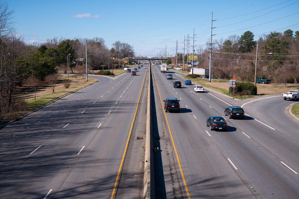
Monroe is a city located in and the county seat of Union County, North Carolina, United States. The city is within the rapidly growing Charlotte metropolitan area and has experienced steady growth in recent years.
According to the 2020 census, the population increased from 32,797 in 2010 to 34,551, making it a thriving community. Monroe has a council-manager form of government, which has helped to ensure that the city’s growth is well-managed and sustainable.
The city offers a range of amenities and services, including shopping, dining, and entertainment options, as well as several parks and recreational facilities. Monroe is also known for its excellent schools, making it a satisfying destination for families with children.
Salisbury
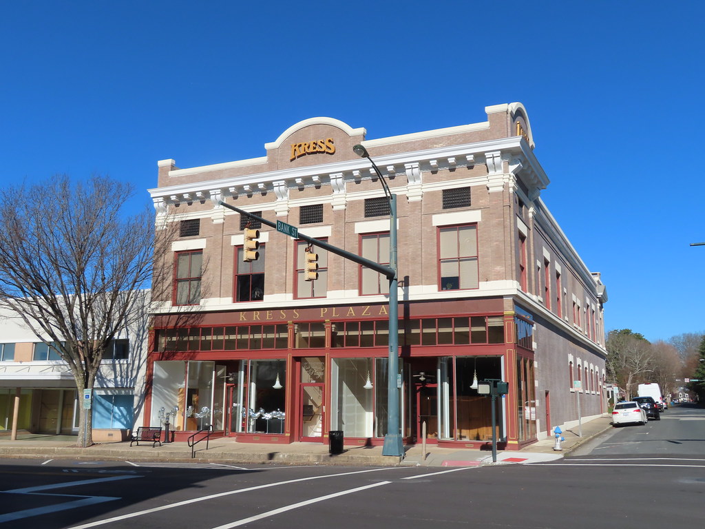
Salisbury is a charming city in the Piedmont region of North Carolina, United States. The city has been the county seat of Rowan County since 1753 when its territory extended to the Mississippi River. Located 25 miles (40 km) northeast of Charlotte and within its metropolitan area, Salisbury has attracted a growing population, with 35,580 residents according to the 2020 census.
Salisbury is the oldest continually populated colonial town in the western region of North Carolina and is noted for its historic preservation, with five Local Historic Districts and ten National Register Historic Districts.
The city is also home to several notable businesses, including soft drink producer Cheerwine, regional supermarket Food Lion, and the founding location of Rack Room Shoes. Overall, Salisbury is a marvelous place to live, work, and visit, with its rich history, vibrant culture, and thriving community.
Garner
Garner is a delightful town located in Wake County, North Carolina, United States, and a suburb of Raleigh. The town has a population of 31,159 as of the 2020 census. While the city limits are entirely within Wake County, portions of unincorporated Wake County, as well as the Cleveland community in northern Johnston County, have Garner mailing addresses. Garner is part of the Research Triangle region of North Carolina and serves as a bedroom community for the region.
The town offers a range of amenities and services, including shopping, dining, and entertainment options, as well as several parks and recreational facilities. Garner is also known for its excellent schools, making it a popular destination for families with children. Overall, Garner is a great destination for residents and visitors, with its fascinating community, deep history, and exciting culture.
Goldsboro
Goldsboro, originally Goldsborough, is an exciting city and the county seat of Wayne County, North Carolina, United States. The city has a population of 33,657 according to the 2020 census and is the principal city of and is included in the Goldsboro, North Carolina Metropolitan Statistical Area.
The nearby town of Waynesboro was founded in 1787, and Goldsboro was incorporated in 1847. It is the county seat of Wayne County. The city is situated in North Carolina’s Coastal Plain and is bordered on the south by the Neuse River and the west by the Little River, approximately 40 miles (64 km) southwest of Greenville, 50 miles (80 km) southeast of Raleigh, the state capital, and 75 miles (121 km) north of Wilmington in Southeastern North Carolina.
Seymour Johnson Air Force Base is located in Goldsboro, adding to the city’s economic vitality. Goldsboro offers a range of amenities and services, including shopping, dining, and entertainment options, as well as several parks and recreational facilities. Goldsboro is a tremendous place to live, with its community spirit, history, and culture.
Cornelius

Cornelius is a beautiful suburban town located along Lake Norman in northern Mecklenburg County, North Carolina, United States. The town is a major suburb in the Charlotte metropolitan area and has become an increasingly popular destination for those seeking a high quality of life.
According to the 2010 census, the population was 24,866, but it has likely grown since then. Cornelius offers a range of amenities and services, including shopping, dining, and entertainment options, as well as several parks and recreational facilities.
The town is also known for its excellent schools, making it a popular destination for families with children. Cornelius has a thriving community and a strong economy, making it a great place to live, work, and visit. Overall, Cornelius is a great town with a beautiful natural setting, a friendly community, and a high quality of life.
Interstates
Interstate 77
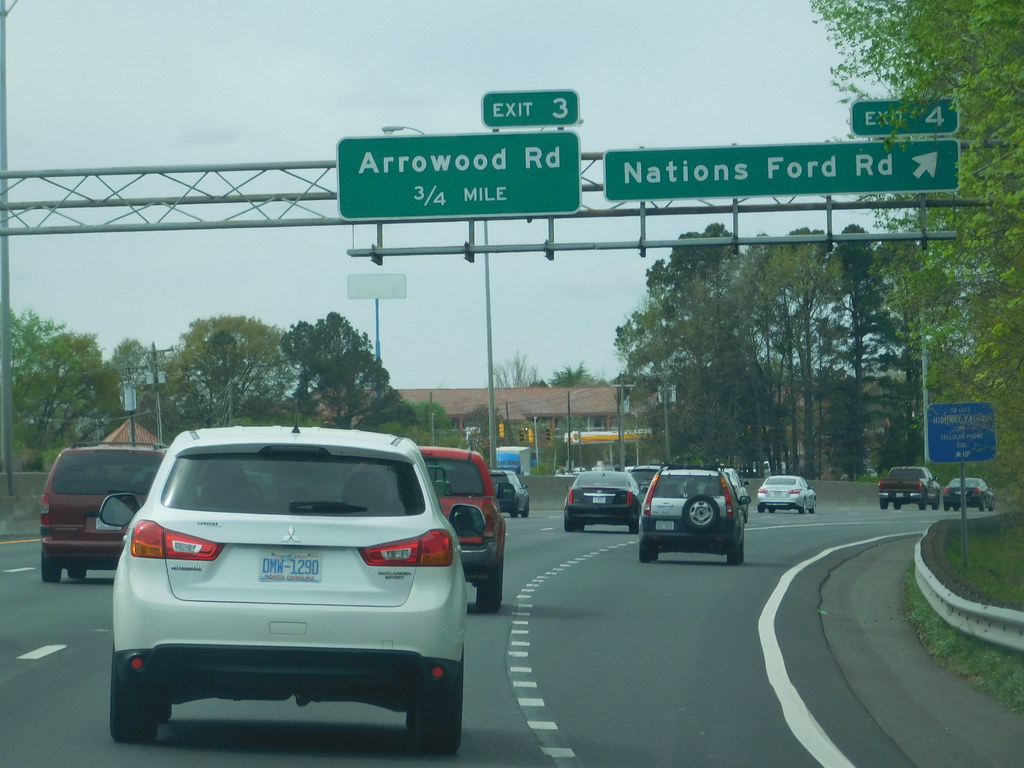
Interstate 77 (I-77) is an important part of the Interstate Highway System that runs from Columbia, South Carolina, to Cleveland, Ohio. In North Carolina, I-77 enters the state at Charlotte, from South Carolina, and crosses the Piedmont, connecting with Statesville before continuing north into Virginia.
The landscapes traversed by I-77 are a contrast of urban and rural foothills, with views of the Blue Ridge Mountains seen from a distance on its most northern section. The freeway extends for 105.7 miles (170.1 km) and has one auxiliary route.
I-77 bears several names in addition to the I-77 designation, including the Blue Star Memorial Highway, the General Paul R. Younts Expressway, the Bill Lee Freeway, and the Charles M. Shelton Highway. Overall, I-77 is an important transportation artery in North Carolina, connecting the state to other parts of the country and providing access to important economic centers and natural attractions.
Interstate 85
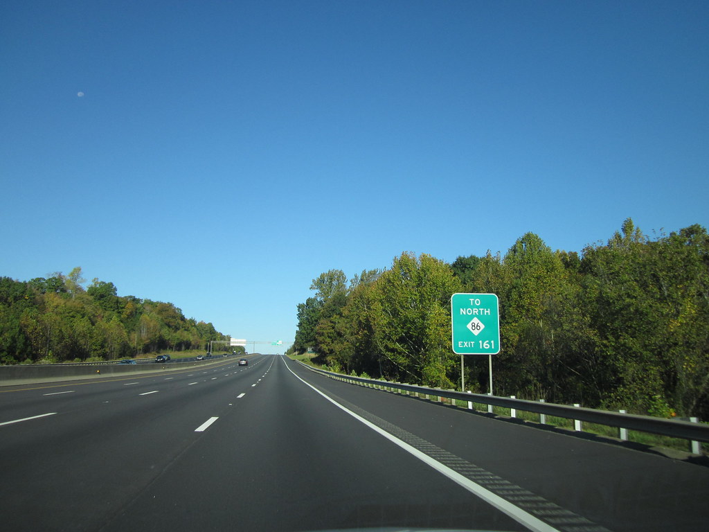
Interstate 85 (I-85) is a vital Interstate Highway that runs from Montgomery, Alabama, to Petersburg, Virginia. In North Carolina, I-85 travels a distance of 231.23 miles (372.13 km) from the South Carolina state line near Grover, North Carolina, to the Virginia state line near Wise.
Despite being signed north–south, I-85 physically travels in a southwest–northeast direction across the state. The freeway connects the three most populous metropolitan areas of North Carolina: the Charlotte metropolitan area, Piedmont Triad, and Research Triangle, as well as nine of the 20 largest municipalities in the state.
Outside of North Carolina, I-85 connects the state with Richmond, Virginia, to the north and Upstate South Carolina and Atlanta, Georgia, to the south. I-85 parallels several US Highways including US Highway 29 (US 29), US 70, US 15, and US 1, providing a crucial transportation link between North Carolina and other parts of the country. Overall, I-85 is an important highway that plays a significant role in the economic and social life of the state.
Interstate 95
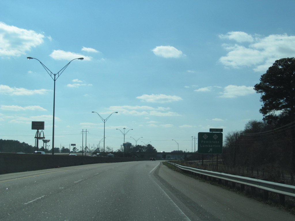
Interstate 95 (I-95) is a crucial part of the Interstate Highway System that runs along the East Coast of the United States from Miami, Florida, to the Canada–United States border at Houlton, Maine. In North Carolina, the route covers a distance of 181.36 miles (291.87 km) from the South Carolina border near Rowland to the Virginia border near Pleasant Hill.
The highway serves several cities, including Lumberton, Fayetteville, Wilson, Rocky Mount, and Roanoke Rapids. However, the route mostly goes through rural areas of the state, avoiding most of the major metro areas of North Carolina.
I-95 forms the informal border between the Piedmont and Atlantic Plain regions of the state, providing a crucial transportation link between these two regions. Overall, I-95 is an important highway that plays a significant role in the economic and social life of North Carolina, connecting the state to other parts of the country and facilitating the movement of people and goods.
Interstate 26
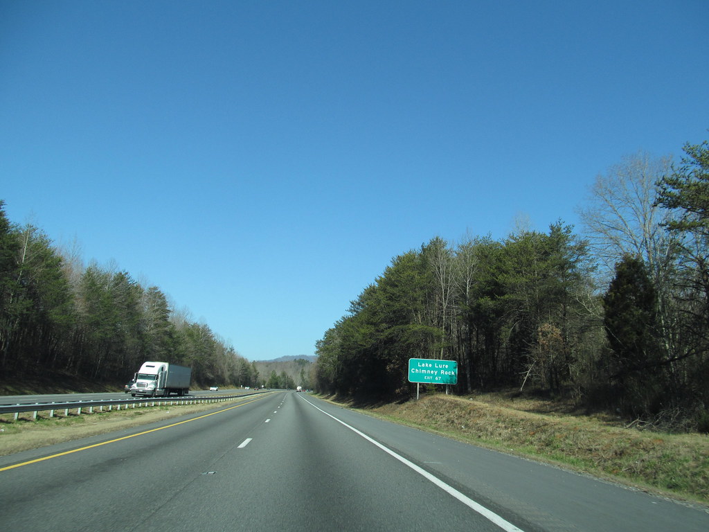
Interstate 26 (I-26) is an important highway that runs through the western part of North Carolina from the Tennessee border to the South Carolina border, following the Appalachian Mountains. It is part of the larger I-26, a regional Interstate that runs from Kingsport, Tennessee, to Charleston, South Carolina. I-26 is mostly four lanes through North Carolina with few exceptions.
Though signed with east–west cardinal directions (because of the even number convention), in North Carolina and Tennessee, the route goes nearly north–south, with the northern direction labeled “West” and vice versa. Within Madison County, I-26 is officially dedicated/memorialized as the Liston B. Ramsey Freeway on the section that overlaps with US Highway 23 (US 23).
I-26’s original western terminus was I-40/I-240 in Asheville, but between 2003 and 2005, the road was extended further north into Tennessee. Along the segment from Mars Hill to Asheville, there are future I-26 signs as some parts of the road have not yet been upgraded to Interstate Highway standards. Overall, I-26 is a vital highway that provides a key transportation link between North Carolina and other parts of the country, facilitating the movement of people and goods.
Interstate 40
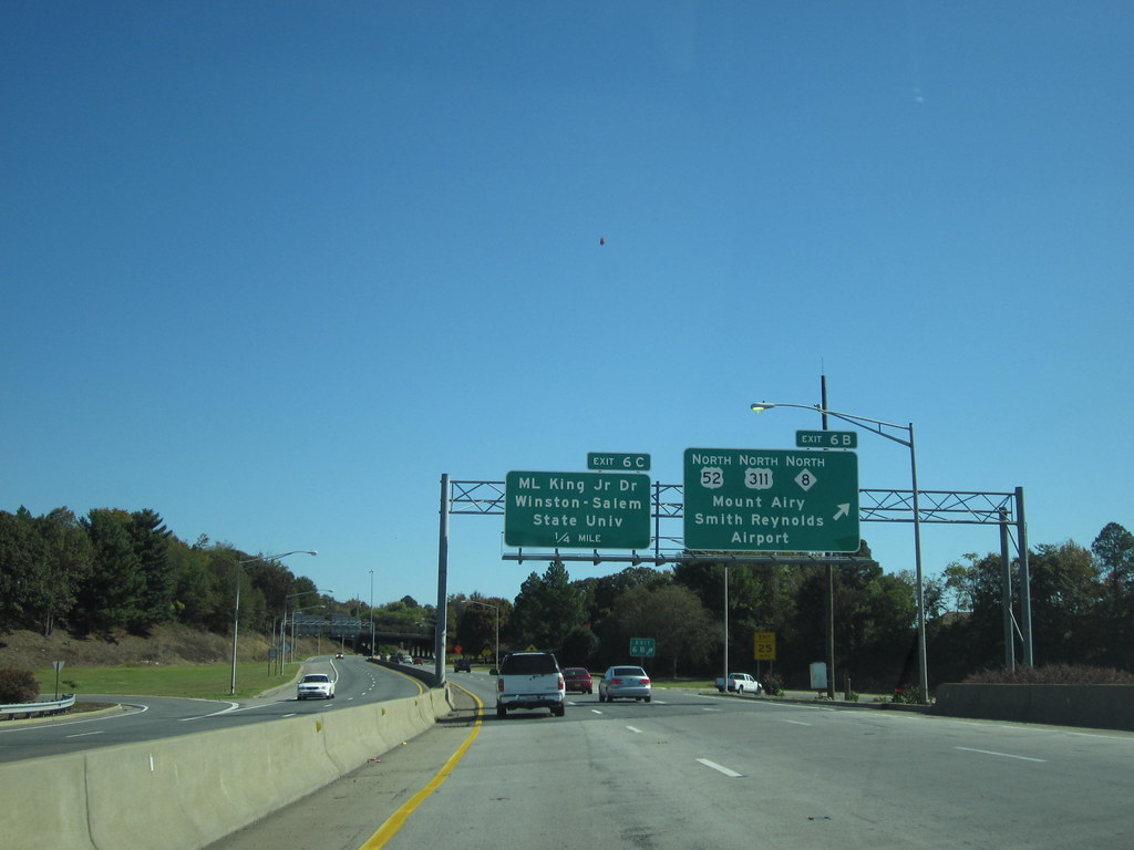
Interstate 40 (I-40) is a vital part of the Interstate Highway System that travels 2,556.61 miles (4,114.46 km) from Barstow, California, to Wilmington, North Carolina. In North Carolina, I-40 covers a distance of 420.21 miles (676.26 km) across the entire state from the Tennessee state line along the Pigeon River Gorge to U.S. Route 117 (US 117) and North Carolina Highway 132 (NC 132) in Wilmington.
I-40 is the longest Interstate Highway in North Carolina and is the only Interstate to completely span the state from west to east. The freeway connects the three major regions of North Carolina—Western North Carolina, the Piedmont, and Eastern North Carolina. In addition, I-40 connects several metropolitan regions, including the Piedmont Triad, the Research Triangle, and the cities of Asheville, Hickory, and Wilmington.
The landscapes traversed by I-40 include the Blue Ridge Mountains, the foothills of western North Carolina, suburban communities, and the urban core of several Piedmont cities, along with eastern North Carolina farmland. Overall, I-40 is an essential transportation artery in North Carolina, connecting the state with other parts of the country and providing access to important economic centers and natural attractions.
Highways
Route 1
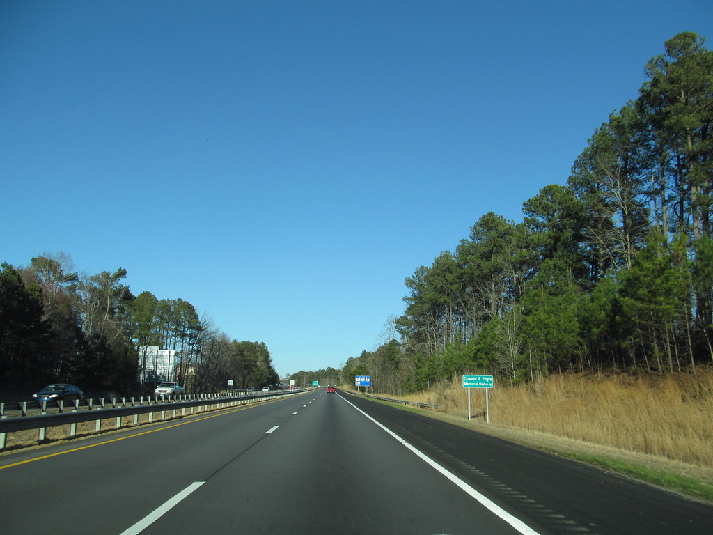
U.S. Highway 1 (US 1) is a significant north–south United States Numbered Highway that runs along the East Coast of the U.S. from Key West, Florida, to the Canada–United States border near Fort Kent, Maine. In North Carolina, US 1 covers a distance of 174.1 miles (280.2 km) across the central region of the state.
The highway enters North Carolina from South Carolina, southwest of Rockingham, and runs northeast, passing through or closely bypassing Southern Pines and Sanford in the Sandhills region. US 1 then passes through Cary, the state capital of Raleigh, and Wake Forest. The highway continues north to Henderson before leaving the state at the Virginia state line near Wise.
The route is mostly a multilane divided arterial road, with several freeway segments. US 1 serves as a strategic highway, connecting the North Carolina Sandhills and Research Triangle regions northward to the Southside region. Overall, US 1 is a vital transportation artery in North Carolina, providing access to key economic centers and natural landscapes in the central part of the state.
Route 13
U.S. Route 13 (US 13) is a United States Numbered Highway that runs from Eastover, North Carolina, to Morrisville, Pennsylvania. In North Carolina, US 13 travels along a northeast–southwest alignment for 189.1 miles (304.3 km) connecting several cities, including Fayetteville, Goldsboro, Greenville, Williamston, and Ahoskie. The southern terminus is located at Interstate 95 (I-95) and I-295 near Eastover.
From the terminus, US 13 travels along a northeastern–southwestern alignment through Newton Grove to US 117 in Mar-Mac. US 13 runs concurrently along US 117 north to Goldsboro, where it also shares a brief concurrency with US 70. The highway continues northeastward to Greenville and then turns to the north until reaching US 64 near Bethel. US 13 and US 64 run concurrently to the east until Williamston, where US 13 diverges to the north, concurrent with US 17.
In Windsor, US 13 separates from US 17 and runs northward through Ahoskie. US 13 turns to the northeast near Winton and continues in that direction until reaching the Virginia state line near Gates. US 13 was originally planned to enter North Carolina south of Norfolk, Virginia, and continue southward to Wilmington, but the finalized 1926 plan moved the southern terminus of US 13 to Norfolk while US 17 was assigned the corridor to Wilmington.
Since 1963, US 13 has undergone some minor realignments and widening along its route, but the corridor has remained the same. Overall, US 13 is a chief transportation artery in North Carolina, connecting several cities and providing access to key economic centers and natural attractions in the central and eastern parts of the state.
Route 15

U.S. Highway 15 (US 15) is a north–south United States Numbered Highway that runs from Walterboro, South Carolina, to Painted Post, New York. In North Carolina, the highway covers a distance of 159 miles (256 km) from the South Carolina state line to the south of Laurinburg to the Virginia state line north of Bullock.
US 15 travels in concurrency with US 501 for 106 miles (171 km) between Laurinburg and Durham. The highway passes through several cities and towns, including Laurinburg, Southern Pines, Pinehurst, Sanford, and Durham. US 15 is mostly a two-lane road with some multilane sections in urban areas.
The highway serves as a vital transportation artery in the central part of the state, connecting several cities and providing access to key economic centers and natural landscapes. Overall, US 15 is a principal part of the North Carolina highway system, providing a crucial link between the southern and northern parts of the state.
Route 17

U.S. Highway 17 (US 17) in North Carolina is a north–south highway that is known as the Coastal Highway in the southeastern half of the state and the Ocean Highway in other areas. The route enters the state from South Carolina near Calabash and leaves in the vicinity of the Great Dismal Swamp National Wildlife Refuge in Virginia.
Between the US 64 freeway and the Virginia state line, US 17 is a four-lane divided highway with speed limits varying between 45 mph (72 km/h) and 70 mph (110 km/h). US 17 passes through several cities and towns, including Wilmington, New Bern, and Elizabeth City.
The highway serves as a critical transportation channel in the eastern part of the state, connecting several coastal communities and providing access to important economic centers and natural attractions. Overall, US 17 is a principal part of the North Carolina highway system, providing a key link between the southern and northern parts of the state.
Route 19

U.S. Highway 19 (US 19) is a north–south highway that traverses 145 miles (233 km) across Western North Carolina, from the Georgia state line at the community of Bellview to Cane River, where US 19 splits into US 19E and US 19W, which take separate routes into Tennessee.
US 19 passes through several cities and towns, including Murphy, Andrews, Bryson City, and Maggie Valley. The highway is mostly a two-lane road with some multilane sections in urban areas. US 19 is an important transportation artery in the western part of the state, providing access to several natural attractions, including the Great Smoky Mountains National Park.
Overall, US 19 is a vital part of the North Carolina highway system, connecting the western part of the state to neighboring states and providing access to important economic centers and natural sites.
Route 19E

U.S. Route 19E (US 19E) is a divided highway of US 19 that travels 75.9 miles (122.1 km) from US 19 and US 19W at Cane River, North Carolina, north to US 11E, US 19, and US 19W in Bluff City, Tennessee. US 19E connects Asheville, North Carolina, and Bristol, Tennessee, with Burnsville, Spruce Pine, and Elk Park in North Carolina and Roan Mountain and Elizabethton in Tennessee.
The highway is complemented by US 19W to the west. US 19E is mostly a two-lane road with some multilane sections in urban areas. The highway serves as a chief transportation channel in the western part of the state, connecting several cities and towns and providing access to important economic centers and natural attractions.
US 19E also has an unsigned concurrency with State Route 37 (SR 37) for its entire course in Tennessee. Overall, US 19E is an essential part of the North Carolina highway system, providing a crucial link between the western part of the state and neighboring Tennessee.
Route 21
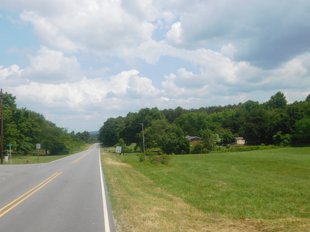
U.S. Route 21 (US 21) begins as a concurrency with I-77 in Charlotte, which it repeats three times within the state. The highway passes through several cities and towns, including Huntersville, Cornelius, Mooresville, Statesville, Harmony, Brooks Crossroads, Jonesville, and Elkin.
North of Elkin, US 21 splits with I-77 for the last time and goes north to Sparta, passing the Blue Ridge Parkway after a major, curvy section. At Twin Oaks, US 221 overlaps with US 21 before entering Virginia. US 21 travels 124.5 miles (200.4 km) through the western Piedmont of North Carolina, either combined with I-77 or as a two-lane rural road.
From the South Carolina state line to Elkin, travelers can easily skip a majority of US 21 via I-77. Overall, US 21 is an important transportation link in the western part of the state, connecting several cities and towns and providing access to chief economic centers and natural landscapes.
Route 23
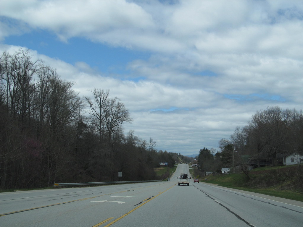
U.S. Route 23 (US 23) is a north–south United States Numbered Highway that runs for 106 miles (171 km) in North Carolina, from the Georgia state line near Dillard to the Tennessee state line near Flag Pond. US 23 passes through several cities and towns, including Franklin, Sylva, Waynesville, and Clyde.
The highway is mostly a two-lane road with some multilane sections in urban areas. US 23 serves as a crucial transportation artery in the western part of the state, connecting several communities and providing access to important economic centers and natural attractions. Overall, US 23 is an essential part of the North Carolina highway system, providing a vital link between the southern and northern parts of the state.
Route 52
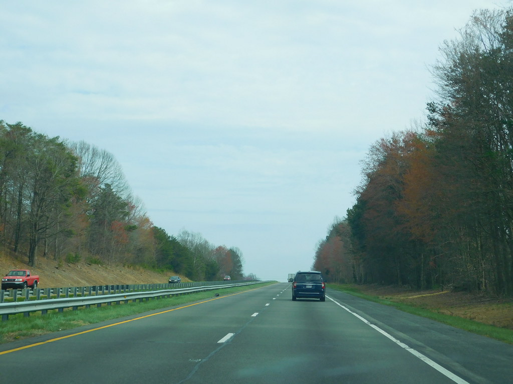
U.S. Route 52 (US 52) is a north–south United States highway that runs for 150 miles (240 km) in North Carolina, from the South Carolina state line near McFarlan to the Virginia state line near Mount Airy. US 52 serves as a strategic highway through the central North Carolina Piedmont, connecting several small towns in Anson, Stanly, Cabarrus, and Rowan counties.
Between Salisbury and Mount Airy, US 52 is a limited-access freeway and is in the process of being upgraded to Interstate Highway standards. The highway is cosigned with several Interstate highways, including I-85 from Salisbury to Lexington and I-285 from Lexington to I-40 south of Winston-Salem. In the future, the I-285 designation will be extended north through Winston-Salem to meet a future interchange with the Winston-Salem Northern Beltway.
North of that point, I-74 will leave the beltway to join US 52, and the two will remain cosigned until reaching the current short segment of I-74 located south of Mount Airy. Overall, US 52 is an important part of the North Carolina highway system, providing a key link between the southern and northern parts of the state and connecting several small communities along the way.
Route 64

U.S. Route 64 (US 64) is the longest-numbered route in North Carolina, running 604 miles (972 km) from the Tennessee state line to the Outer Banks. The highway passes through several cities and towns, including Murphy, Morganton, Statesville, Lexington, Asheboro, Rocky Mount, Williamston, and Manteo.
US 64 is a major east–west route through the central and eastern portions of the state, connecting several important economic centers and natural attractions. The highway is a symbolic representation of the phrase “from Murphy to Manteo,” which is used to refer to the expanse of the state. Overall, US 64 is an important part of the North Carolina highway system, providing a vital link between the western and eastern parts of the state and connecting several communities along the way.
Route 70
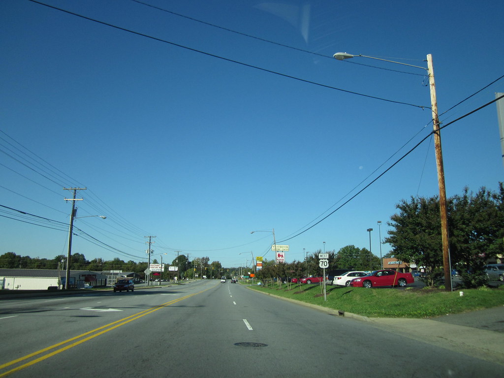
U.S. Route 70 (US 70) is a major 488-mile-long (785 km) east–west highway in North Carolina that runs from the Tennessee border to the Atlantic Ocean. The highway connects several major cities, including Asheville, High Point, Greensboro, Durham, Raleigh, Goldsboro, and New Bern. US 70 follows the historic Dixie Highway from the Tennessee state line near Paint Rock to Asheville, running concurrently with US 25.
From Beaufort on the east, US 70 shares part of the Outer Banks Scenic Byway before ending in the community of Atlantic, located along Core Sound. While sections of US 70 have been converted to freeway standards, along most of the routing it is a four-lane highway. Several new projects beginning in the 2000s have placed US 70 on interstate-grade freeways, such as the Clayton and Goldsboro bypasses.
On May 24, 2016, AASHTO assigned the Future I-42 designation to the majority of US 70’s routing east of Garner. Additionally, a short freeway segment in east Durham was officially designated as I-885 on June 30, 2022, a route that connects I-40 to I-85 through the Research Triangle Park and east Durham. Overall, US 70 is an important part of the North Carolina highway system, providing a crucial link between the western and eastern parts of the state and connecting several major cities and towns along the way.
Route 74
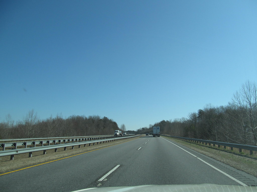
U.S. Route 74 (US 74) is a major east-west highway in North Carolina that connects the major cities of Asheville, Charlotte, and Wilmington, for a total of 451.8 miles (727.1 km). In western North Carolina, US 74 enters the state with a concurrency with US 64 and shares a revolving door of concurrency changes with US 19, US 129, US 441, and US 23.
The alternating highway is considered the commercial backbone and main truck route of Western North Carolina, connecting the cities of Murphy, Andrews, Bryson City, Cherokee, Sylva, and Waynesville. North of Clyde, US 74 merges with Interstate 40 and goes east, in concurrency, to Asheville, before continuing southeast in concurrency with Interstate 26 till Columbus, where it separates and continues east along a mostly controlled-access highway, except in Shelby, to Interstate 85, in Kings Mountain.
The highway connects the cities and towns of Whiteville, Lake Waccamaw, and Wilmington, and the road through the Cape Fear region is flat, surrounded by parts of the Green Swamp. Overall, US 74 is an important part of the North Carolina highway system, providing a principal link between the western and eastern parts of the state and connecting several major cities and towns along the way.
Route 76
U.S. Highway 76 (US 76) is a U.S. Highway running from Chattanooga, Tennessee to Wrightsville Beach, North Carolina. In North Carolina, the highway runs for 80.4 miles (129.4 km) in the southeastern region of the state. US 76 enters the state from South Carolina south of Fair Bluff in Columbus County and travels in an eastward direction, meeting US 74 in Chadbourn.
The two highways run concurrently for 50.4 miles (81.1 km) between Chadbourn and Wilmington, with US 76 running concurrently with US 17 along much of its Wilmington routing. US 76 and US 74 run concurrently for 1.4 miles (2.3 km) until reaching Wrightsville Beach, where US 76 reaches its eastern terminus on the south side of Wrightsville Beach, at an intersection with Water Street.
While the majority of the routing has remained roughly the same, much of the highway between Chadbourn and Wilmington has been placed on new freeways. The section of US 76 between Chadbourn and Bolton is considered to be a future section of Interstate 74 (I-74). Overall, US 76 is an important part of the North Carolina highway system, connecting a number of communities in the southeastern part of the state and providing a key channel between North Carolina and Tennessee.
Route 129
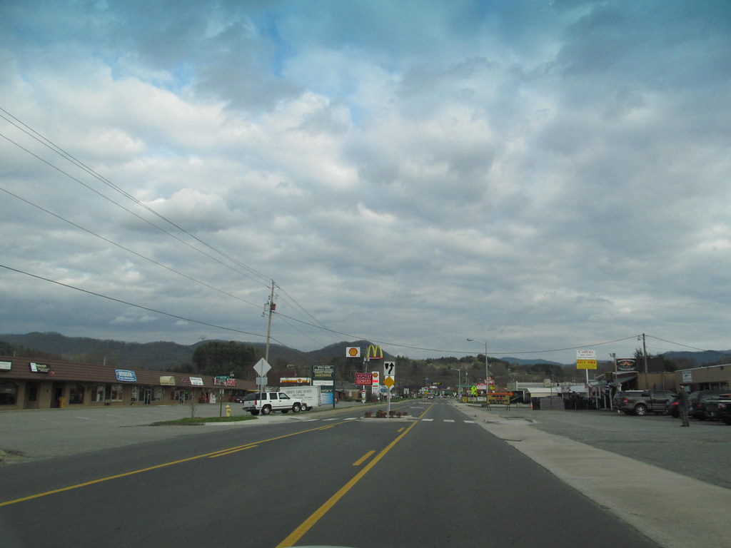
U.S. Route 129 (US 129) is a scenic north-south United States highway that travels 63.5 miles (102.2 km) through the westernmost part of North Carolina. The highway stretches from the Georgia state line near Bellview to the Tennessee state line at Deals Gap, and is known for its scenic mountain valley vistas and curvy mountain bends that are popular with motorcycle and sports car enthusiasts.
The route passes through several small communities, including Robbinsville and Topton, and offers stunning views of the surrounding mountains. The section of US 129 between Deals Gap and Robbinsville is particularly famous for its 318 curves in 11 miles, known as “The Tail of the Dragon.” Overall, US 129 is an important part of the North Carolina highway system, offering a unique and picturesque driving experience for those traveling through the western part of the state.
Route 158

U.S. Route 158 (US 158) is an important east-west United States highway that runs for 350 miles (560 km) entirely within the state of North Carolina, from Mocksville to Whalebone Junction in Nags Head. The highway is a critical route that connects several cities and towns in the state, including Winston-Salem, Summerfield, and Reidsville.
US 158 passes through many rural areas of North Carolina, as well as several small communities, including Yanceyville, Roxboro, and Henderson. Along the way, the highway offers scenic views of the countryside and provides access to several state parks and recreational areas. Overall, US 158 is a key part of the North Carolina highway system, connecting communities and providing a convenient channel between the eastern and western parts of the state.
Route 220
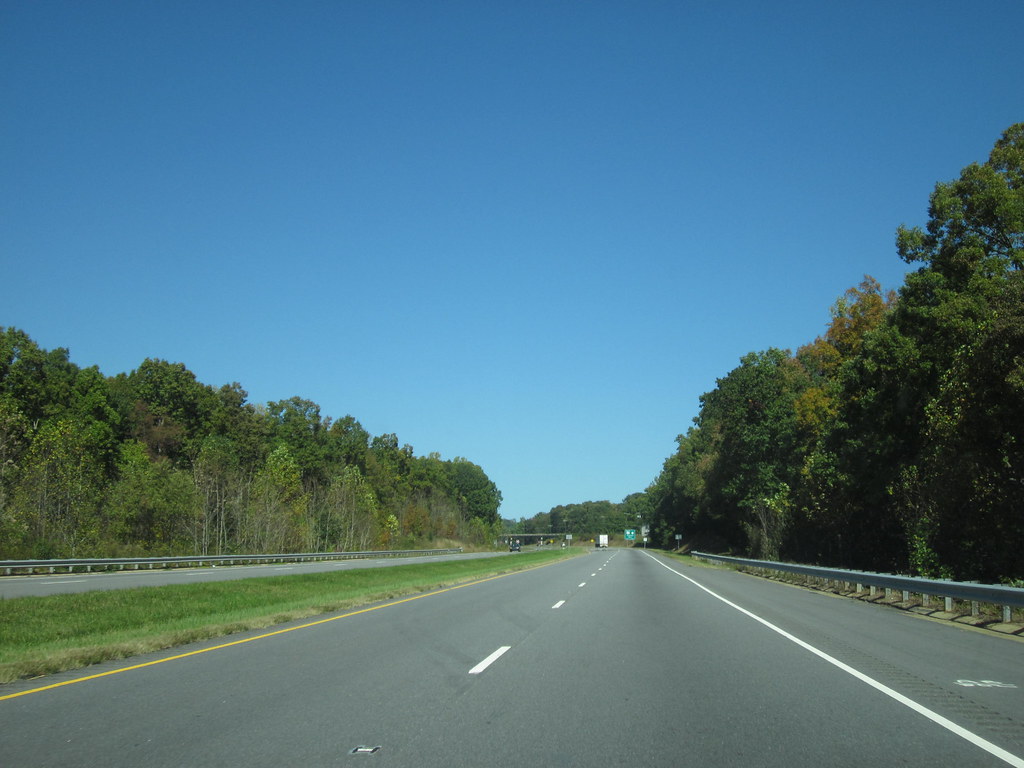
U.S. Route 220 (US 220) is a significant north-south U.S. highway that travels from Rockingham, North Carolina, to South Waverly, Pennsylvania. In North Carolina, the highway spans 123.4 miles (198.6 km) from an intersection with US 1 in Rockingham to the Virginia state line near Price.
US 220 is a crucial north-south route in central North Carolina, connecting several cities and towns, including Rockingham, Asheboro, Greensboro, and Summerfield. The highway runs concurrently with Interstate 73 from north of Rockingham to Greensboro and from Summerfield to Stokesdale, while US 220 runs concurrently with I-74 from Rockingham to Randleman.
US 220 offers scenic views of the surrounding countryside and provides access to several state parks and recreational areas. Overall, US 220 is a chief part of the North Carolina highway system, connecting communities and providing a prime link between the southern and northern parts of the state.
