Amid the towering skyscrapers and the tranquil beauty of its upstate regions, New York weaves a narrative not just through its cultural diversity but also in the intricate patterns of its rivers and the reflective surfaces of its lakes. The Empire State, celebrated for its urban energy and natural wonders, cradles within its embrace a lesser-known treasure – a network of waterways that mirror its legacy of progress and unity.
Like whispered conversations in Central Park, New York’s rivers and lakes carry tales of exploration, trade, and the inextricable link between its residents and the environment. In this article, we embark on a journey that traces the meandering pathways of New York’s rivers and gazes upon the tranquil expanses of its lakes.
Join us as we unveil the significance of these aqueous stories, uncovering their role in shaping the state’s identity, culture, and commerce, and revealing the profound impact that water has etched upon the very soul of the Empire State.
Printable New York Lakes and Rivers Map
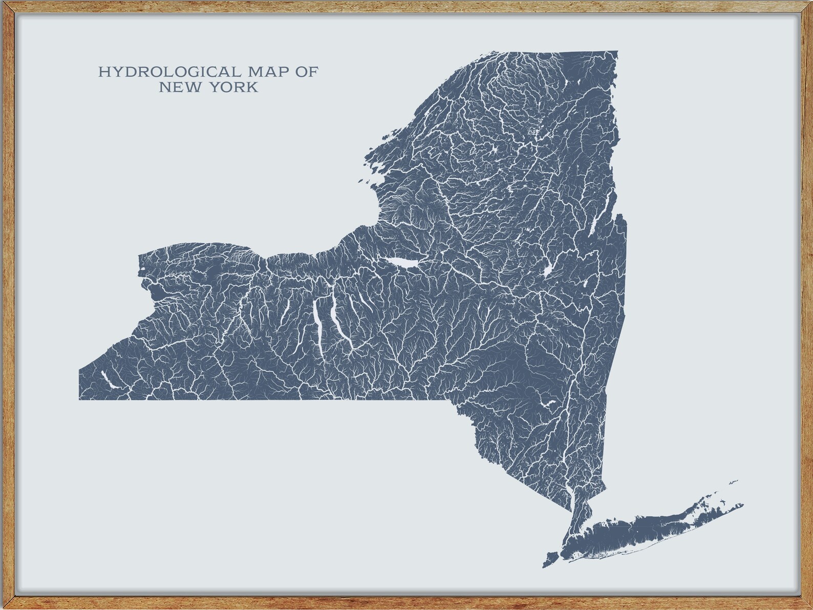
Rivers
Hudson River
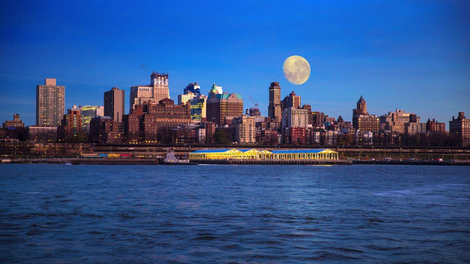
The Hudson River is a 315-mile river that flows from north to south primarily through eastern New York, originating in the Adirondack Mountains of upstate New York at Henderson Lake in the town of Newcomb, and flowing southward through the Hudson Valley to the New York Harbor between New York City and Jersey City, eventually draining into the Atlantic Ocean at Upper New York Bay.
The river serves as a physical boundary between the states of New Jersey and New York at its southern end, and farther north, it marks local boundaries between several New York counties. The river has a rich history, having been explored by Henry Hudson, an Englishman sailing for the Dutch East India Company in 1609, and subsequently named after him.
Susquehanna River
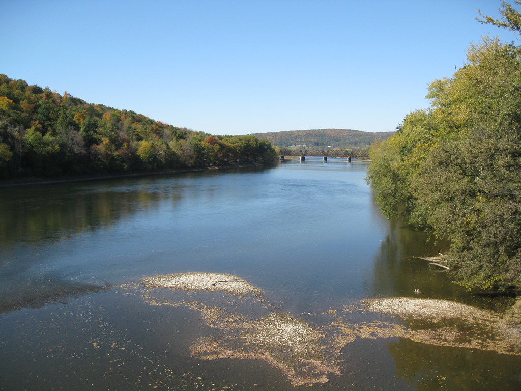
The Susquehanna River is the longest river on the East Coast of the United States, at 444 miles long, and forms from two main branches: the North Branch, which rises in Cooperstown, New York, and the West Branch, which rises in western Pennsylvania and joins the main branch near Northumberland in central Pennsylvania.
The river drains 27,500 square miles, including nearly half of the land area of Pennsylvania, and empties into the northern end of the Chesapeake Bay at Perryville and Havre de Grace, Maryland, providing half of the Bay’s freshwater inflow. The bay lies in the flooded valley, or ria, of the Susquehanna.
Black River

The Black River is a 125-mile-long blackwater river that empties into the eastern end of Lake Ontario on the shore of Jefferson County, New York. Its valley divides the Adirondack Mountains on the east from the Tug Hill region to the west, and the river flows in a generally northwest direction.
The river originates at North Lake in the foothills of the Adirondacks, in Herkimer County, and flows west into Oneida County then north, past Forestport and Boonville into Lewis County before turning sharply west toward Lake Ontario, flowing past Great Bend, Black River, and Watertown.
Saranac River
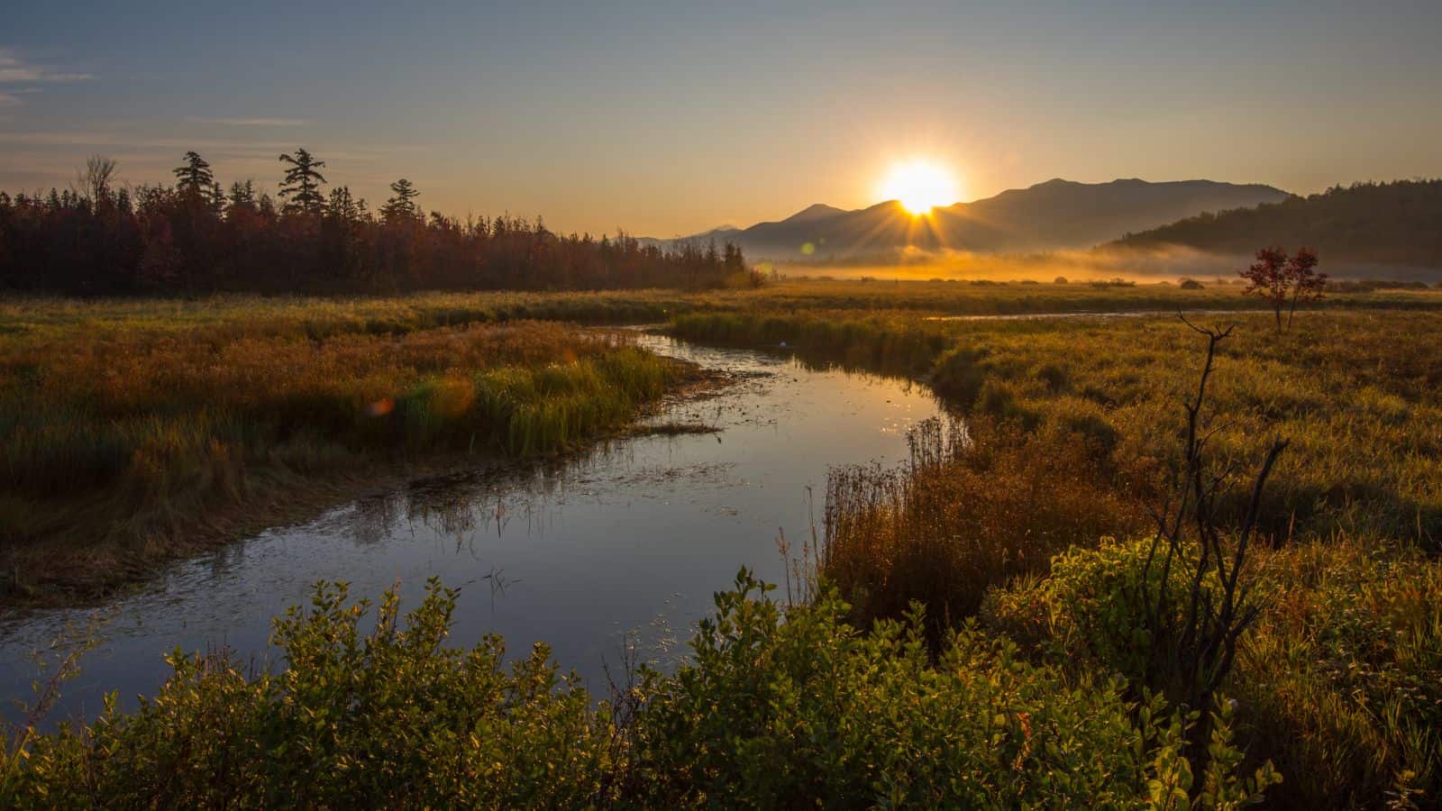
The Saranac River is an 81-mile-long river in the U.S. state of New York, flowing in a northeasterly direction from the Adirondack Mountains. The river encompasses Upper, Middle, and Lower Saranac Lakes, as well as Oseetah Lake, Lake Flower, Franklin Falls Pond, and Union Falls Pond, and flows through the village of Saranac Lake.
The Saranac River empties into Lake Champlain at the City of Plattsburgh in Clinton County, New York, and in the last third of its length, it drops two-thirds of its total drop, making it a popular site for whitewater kayaking and canoeing.
Raquette River

The Raquette River is the third longest river entirely in the state of New York, originating at Raquette Lake in the Adirondack Mountains. It is a popular destination for canoeing and kayaking, passing through many natural and man-made lakes to its final destination at Akwesasne on the Saint Lawrence River.
The river historically served as part of the “Highway of the Adirondacks”, a route still followed by the Northern Forest Canoe Trail, a 740-mile canoe trail from Old Forge to Fort Kent in Maine, and the Adirondack Canoe Classic, a three-day, 90-mile canoe race from Old Forge to Saranac Lake.
Genesee River

The Genesee River is a tributary of Lake Ontario flowing northward through the Twin Tiers of Pennsylvania and New York in the United States. The river contains several waterfalls in New York at Letchworth State Park and Rochester and was historically used as a border between the lands of the Seneca to the east and the Erie and Wenro to the west.
The river provided the original power for the Rochester area’s 19th-century mills, and still provides hydroelectric power for downtown Rochester, with flooding occurring periodically in the river valley prior to the construction of the Mount Morris Dam in the 1950s.
Mohawk River
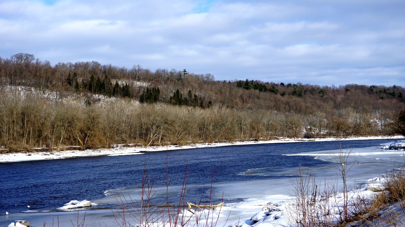
The Mohawk River is the largest tributary of the Hudson River, flowing for 149 miles in the U.S. state of New York and named for the Mohawk Nation of the Iroquois Confederacy.
The river’s east-west valley provided the setting and water for the development of the Erie Canal, as a key to developing New York, and its largest tributary, the Schoharie Creek, accounts for over one-quarter of the Mohawk River’s watershed. The river flows generally east through the Mohawk Valley, passing by several cities before entering the Hudson River at Cohoes, just north of Albany.
Chemung River
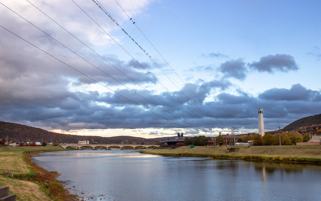
The Chemung River is a tributary of the Susquehanna River, approximately 46.4 miles long, in south-central New York and northern Pennsylvania in the United States. It drains a mountainous region of the northern Allegheny Plateau in the Southern Tier of New York and flows generally east-southeast through Corning, Big Flats, Elmira, and Waverly.
The valley of the river has long been an important manufacturing center in the region but has suffered a decline in the late 20th century, and most of the valley is cut into Devonian age shale, sandstone, and limestone, with New York State Route 17 following the valley of the river for much of its course.
Canisteo River
The Canisteo River is a 61.0-mile-long tributary of the Tioga River in western New York in the United States, draining a dissected plateau, a portion of the northern Allegheny Plateau southwest of the Finger Lakes region, in the far northwestern reaches of the watershed of the Susquehanna River.
It rises in the hills of northern Allegany County and flows east into northern Steuben County, then generally southeast past Hornell and Canisteo, joining the Tioga from the west in southeastern Steuben County. The origin of the name of the river is obscure, likely from the Algonquian languages subfamily of American indigenous languages meaning either “pickerel” or “head of water”.
Cohocton River
The Cohocton River, sometimes referred to as the Conhocton River, is a 58.5-mile-long tributary of the Chemung River in western New York in the United States, part of the Susquehanna River watershed, flowing to the Chesapeake Bay.
The name “Cohocton” is derived from an Iroquois term, Ga-ha-to, meaning “log floating in the water” or “trees in the water”. New York State Route 17 follows the valley of the river along much of its route through Steuben County, and the river is a popular destination for fly fishing, with its watershed largely undeveloped, with 61.9 percent being forested, 35.8 percent in agriculture, and only 1.5 percent urban.
Chenang River
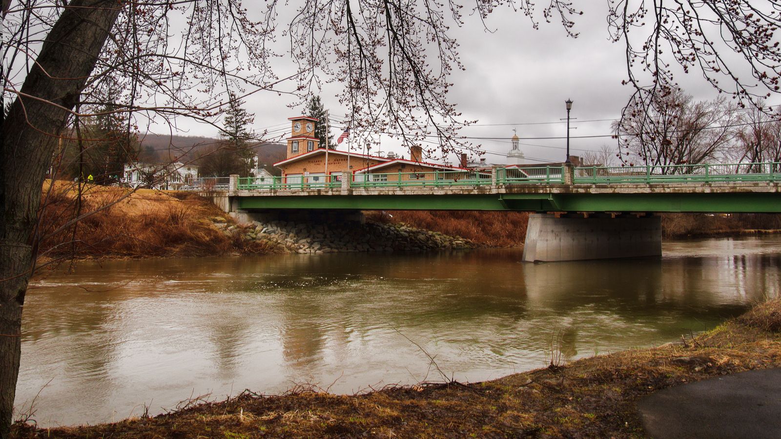
The Chenango River is a 90-mile-long tributary of the Susquehanna River in central New York in the United States, draining a dissected plateau area in upstate New York at the northern end of the Susquehanna watershed.
Named after the Oneida word for bull thistle, the Chenango furnished a critical link in the canal system of the northeastern United States in the 19th century, with the Chenango Canal connecting the Erie Canal in the north to the Susquehanna River, but was rendered obsolete by railroads and was abandoned in 1878.
Flooding is often a concern during the spring and fall, and the Chenango River begins near Morrisville in Madison County, in central New York, in the Morrisville Swamp in the Town of Smithfield, about 25 miles southwest of Utica.
Wallkill River

The Wallkill River is a tributary of the Hudson, draining Lake Mohawk in Sparta, New Jersey, and flowing generally northeasterly 88.3 miles to Rondout Creek in New York, just downstream of Sturgeon Pool, near Rosendale, with the combined flows reaching the Hudson at Kingston.
The river is unusual because it flows north between two major south-flowing rivers, the Hudson and the Delaware, and has the unusual distinction of being a river that drains into a creek, due to being impounded shortly before the Rondout confluence into a small body of water called Sturgeon Pool near Rifton, and what reaches the Rondout from there is the lesser flow.
St Regis River
The St. Regis River is an 86-mile-long river in northern New York in the United States, flowing into the Saint Lawrence River at the hamlet of Saint Regis in the St. Regis Mohawk Reservation. The Saint Regis River basin includes Upper and Lower St. Regis Lakes, and Saint Regis Pond in the Saint Regis Canoe Area, and it’s a great fishery for trout. In Quebec, it is known as rivière Saint-Régis.
Lakes
Lake Champlain

Lake Champlain is a natural freshwater lake in North America, mostly lying between the US states of New York and Vermont, but also extending north into the Canadian province of Quebec. The New York portion of the Champlain Valley includes the eastern portions of Clinton County and Essex County, most of which is part of the Adirondack Park, with recreational facilities in the park and along the relatively undeveloped coastline of Lake Champlain.
Because of both Lake Champlain’s connection to the St. Lawrence Seaway via the Richelieu River and the existence of the Champlain Canal, Lake Champlain is sometimes referred to as “The Sixth Great Lake,” with the cities of Plattsburgh, New York, and Burlington, Vermont, on the lake’s western and eastern shores, respectively, and the town of Ticonderoga, New York, in the region’s southern part, and a number of islands in the lake, including Grand Isle, Isle La Motte, and North Hero, all part of Grand Isle County, Vermont.
Oneida Lake

Oneida Lake is the largest lake entirely within New York state, with a surface area of 79.8 square miles, located northeast of Syracuse and near the Great Lakes, feeding the Oneida River, a tributary of the Oswego River which flows into Lake Ontario. The lake is about 21 miles long and about 5 miles wide with an average depth of 22 feet, and portions of six counties and 69 communities are in the watershed.
While not geologically considered one of the Finger Lakes, Oneida Lake, because of its proximity, is referred to by some as their “thumb”, popular for the winter sports of ice fishing and snowmobiling, as it is shallow and warmer than the deeper Finger Lakes in summer, but its surface freezes solid in winter.
Cayuga Lake

Cayuga Lake is the longest of central New York’s glacial Finger Lakes and is the second largest in surface area and volume, just under 39 miles long, with an average width of 1.7 miles and over 95 miles of shoreline.
The lake is named after the indigenous Cayuga people and the city of Ithaca, site of Ithaca College and Cornell University, is located at the southern end of Cayuga Lake, with villages and settlements along the east and west shores of the lake, and two small islands, Frontenac Island near Union Springs and Canoga Island near the town of Canoga, with several camps and inhabited during the summer months.
Seneca Lake
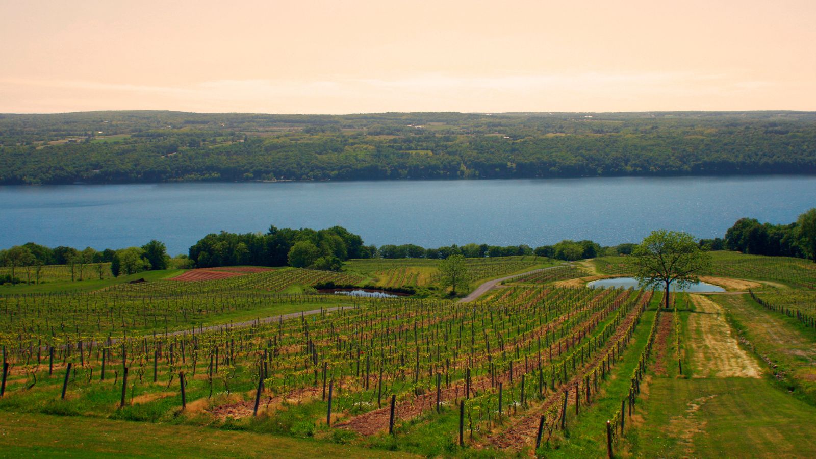
Seneca Lake is the largest and deepest of the glacial Finger Lakes of the U.S. state of New York, promoted as being the lake trout capital of the world, and the host of the National Lake Trout Derby.
The lake takes its name from the Seneca Nation of Native Americans. At the north end of Seneca Lake is the city of Geneva, New York, home of Hobart and William Smith Colleges and the New York State Agricultural Experiment Station, while at the south end is the village of Watkins Glen, famed for auto racing and waterfalls, with over 50 wineries, many of them farm wineries, located around the lake due to its unique macroclimate. It is the location of the Seneca Lake AVA, making it a popular destination for wine enthusiasts.
Lake George
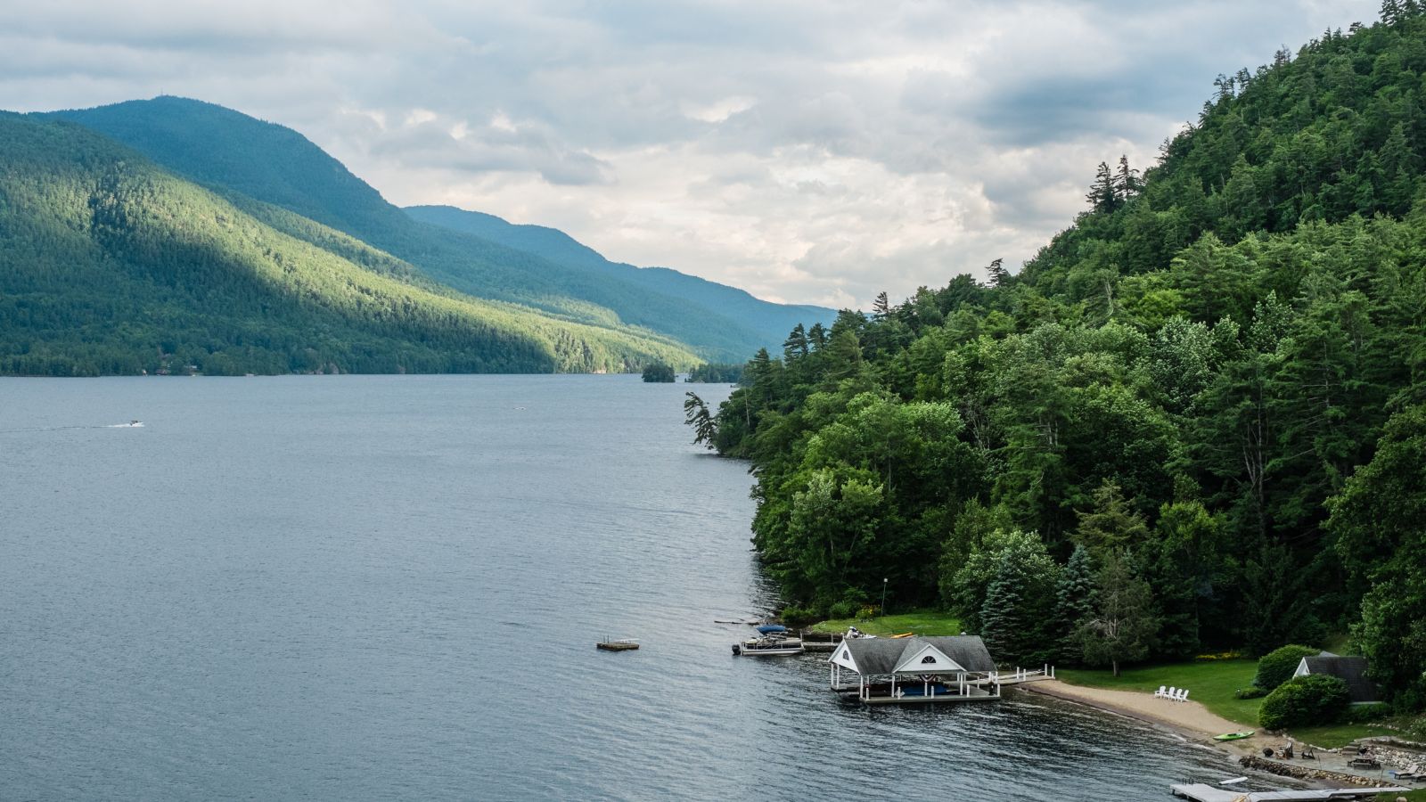
Lake George, nicknamed the Queen of American Lakes, is a long, narrow oligotrophic lake located at the southeast base of the Adirondack Mountains, in the northeastern portion of the U.S. state of New York, extending about 32.2 mi on a north–south axis. It is 187 ft deep, and ranges from one to three miles in width, presenting a significant barrier to east–west travel.
The lake lies on the direct land route between Albany, New York, and Montreal, Quebec, Canada, and drains into Lake Champlain to its north through a short stream, the La Chute River. It drops 226 feet in its 3.5-mile course, and ultimately the waters flow via the Richelieu River drain into the St. Lawrence River downstream and northeast of Montreal, and then into the North Atlantic Ocean by Nova Scotia.
Great Sacandaga Lake
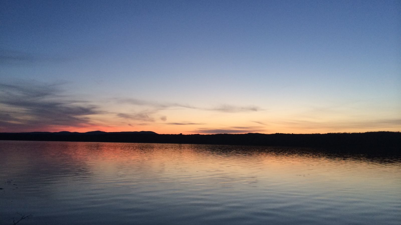
The Great Sacandaga Lake, formerly the Sacandaga Reservoir, is a large lake situated in the Adirondack Park in northern New York in the United States, with a surface area of about 41.7 square miles at capacity, and a length of about 29 miles. The lake is located in the northern parts of Fulton County and Saratoga County near the southern border of the Adirondack Park, with a small portion extending northward into southern Hamilton County.
The primary purpose for the creation of the reservoir was to control flooding on the Hudson River and the Sacandaga River, floods which had a historically significant impact on the surrounding communities, and the word Sacandaga means “Land of the Waving Grass” in the local native language.
Chautauqua Lake

Chautauqua Lake is located entirely within Chautauqua County, New York, United States, approximately 17 miles long and two miles wide at its greatest width, with a surface area of approximately 13,000 acres and a maximum depth of about 78 feet.
The shoreline is about 41.1 miles of which all but 2.6 mi are privately owned. The lake’s name comes from the now-extinct Erie language, with its meaning remaining unknown and a source of speculation. A Seneca legend attests to the Chautauqua having a reputation as a “place of easy death.”
Canandaigua Lake
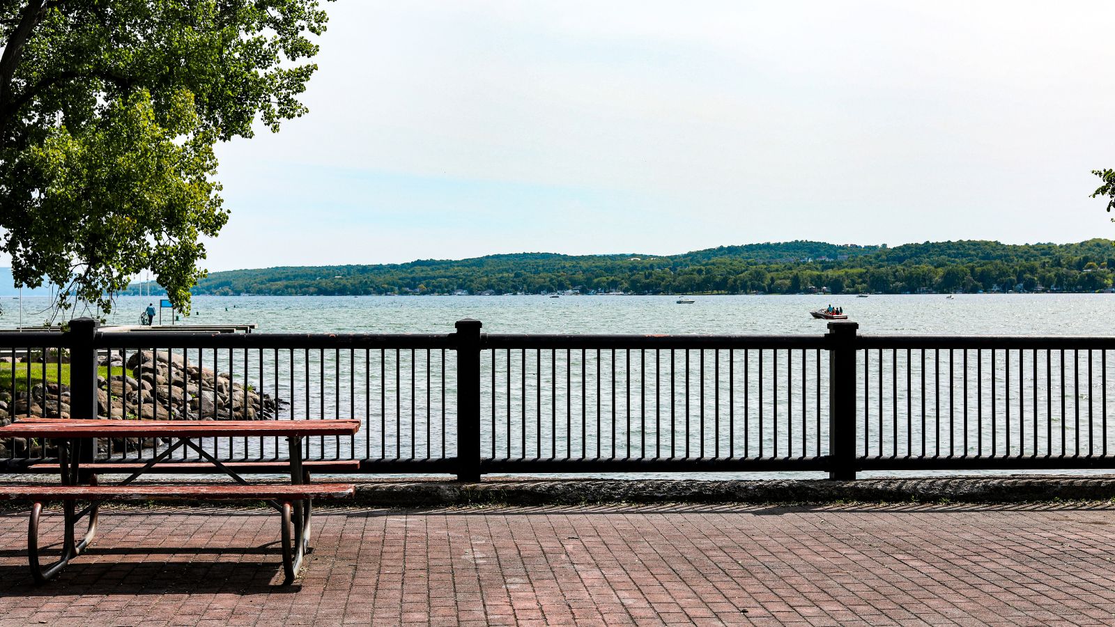
Canandaigua Lake is the fourth largest of the Finger Lakes in the U.S. state of New York, located at the northern end of the lake is the City of Canandaigua and the village of Naples is several miles south of the southern end, and is the westernmost of the major Finger Lakes, with a shoreline of 35.9 miles, 34.7 miles of which are private and 1.2 miles are public.
The lake is known for its water quality, serving as the sole source of drinking water for the town and city of Canandaigua, located on the northern end of the lake, and was voted the best drinking water in New York State in 2013 and 2017.
Skaneateles Lake
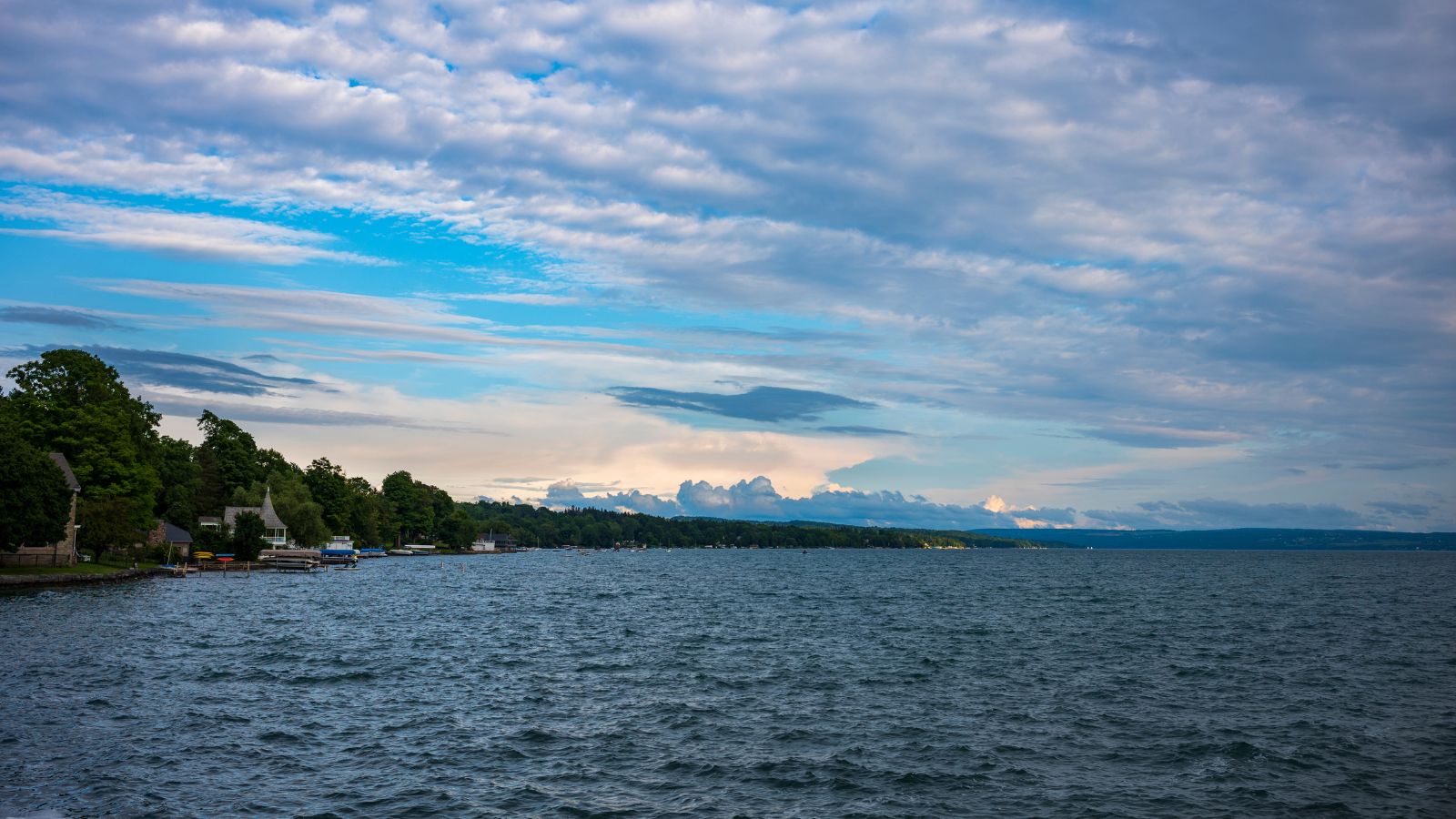
Skaneateles Lake is one of the Finger Lakes in central New York in the United States, with a surface area of 13.6 sq mi, and a maximum depth of 315 ft. It is sometimes referred to as “The Roof Garden of the Lakes” because its altitude is higher than the other Finger Lakes, and the name Skaneateles means long lake in one of the local Iroquoian languages.
The lake is the cleanest of the Finger Lakes, with its water so pure that the city of Syracuse and other municipalities use it unfiltered, and is the second cleanest lake in the United States as measured by dissolved nitrogen, after Crater Lake in Oregon.
Cranberry Lake

Cranberry Lake is the third largest lake in the Adirondack Park, located on the east branch of the Oswegatchie River in New York in the United States, with about 75 percent of the shoreline owned by the State of New York.
The 118,000-acre Five Ponds Wilderness Area abuts its south shore, and the Cranberry Lake Wild Forest covers much of its remaining shoreline. Several islands are within the lake, the largest being Joe Indian Island and Buck Island, and the SUNY-ESF Ranger School is located in the community of Wanakena, on a western arm of the lake in the Town of Fine.
Black Lake
Black Lake is the largest lake in Saint Lawrence County, located in the northern part of New York in the United States, south of the Saint Lawrence River, and parallels the river for many miles, with a maximum depth of 40 feet.
The lake is of glacial origin, having been formed by the melting of continental glaciation in the state around 12,000 years ago, and is fed by several sources, the largest being the Indian River, and drains into the Oswegatchie River and then into the Saint Lawrence River. The Mohawk people referred to the lake as Kanientàrhón:tsi, which translates to “lake is black”, and there are at least 25 named islands in the lake.

