Amid the golden fields and expansive prairies of the Cornhusker State, a lesser-known narrative flows – a story etched not just in the pages of history but also in the sinuous paths of its rivers and the serene expanses of its lakes. Nebraska, celebrated for its agricultural heritage and heartland values, cradles within its borders a hidden treasure – a network of waterways that mirrors its legacy of growth and resilience.
Like the whispered tales passed down through generations, Nebraska’s rivers and lakes carry stories of exploration, trade, and the unwavering spirit of its people. In this article, we embark on a journey that traces the courses of Nebraska’s rivers and reflects upon the tranquility of its lakes.
Join us as we delve into the significance of these aqueous chapters, uncovering their influence on the state’s identity, culture, and livelihoods, and revealing the profound impact that water has engraved upon the very essence of the Cornhusker State.
Printable Nebraska Lakes and Rivers Map
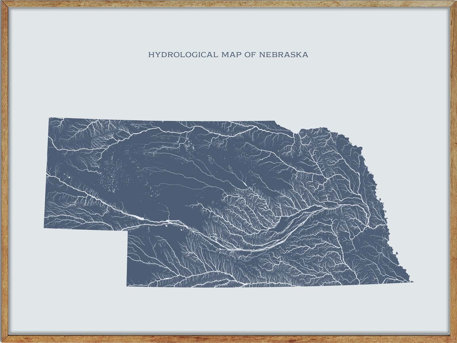
Rivers
Niobrara River
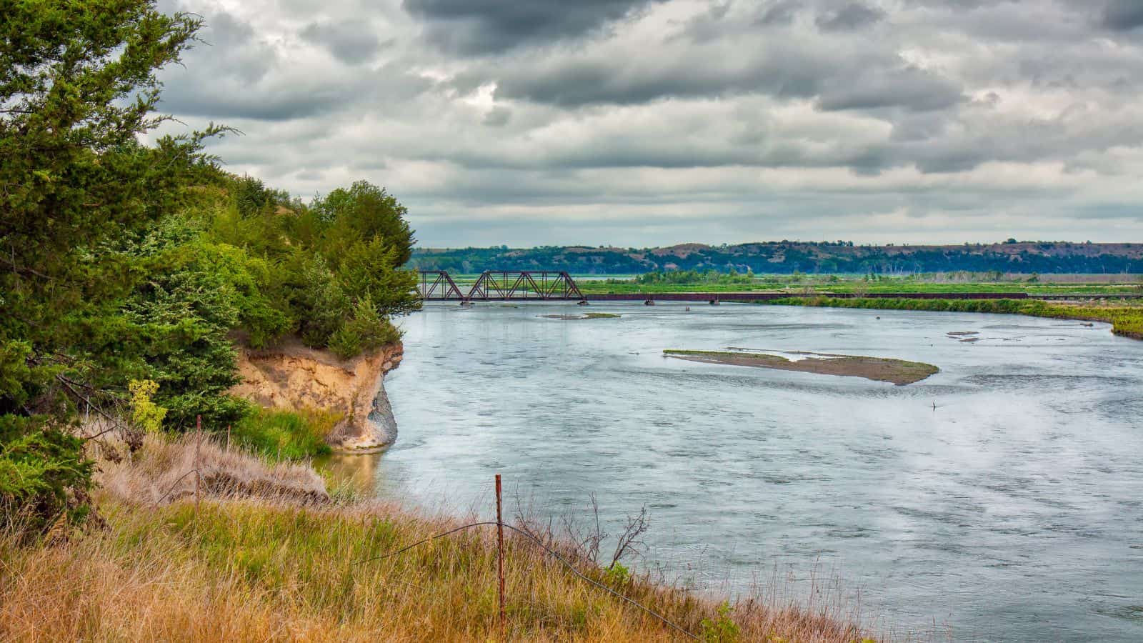
The Niobrara River is a tributary of the Missouri River, running through the U.S. states of Wyoming and Nebraska, and is approximately 568 miles long. Its watershed includes the northern tier of Nebraska Sandhills, a small south-central section of South Dakota, as well as a small area of eastern Wyoming, and the river rises in the High Plains of Wyoming, in southern Niobrara County.
The river flows east across northern Nebraska, near the northern edge of the Sandhills and past Valentine, and is joined by the Keya Paha River approximately 6 miles west of Butte before joining the Missouri River northwest of Niobrara in northern Knox County, just upstream of Lewis and Clark Lake.
Elkhorn River
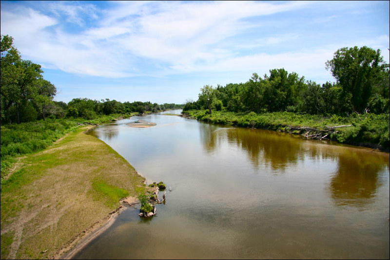
The Elkhorn River is a major tributary of the Platte River, flowing 290 miles and originating in the eastern Sandhills of northeastern Nebraska, United States. The river basin covers approximately 7,000 square miles and includes several tributaries, such as its own North and South forks, Logan Creek Dredge, Rock Creek, and Maple Creek, among others. The Elkhorn River joins the Platte River just southwest of Omaha, approximately 1 mile south and 3 miles west of Gretna.
Loup River

The Loup River is a tributary of the Platte River, approximately 68 miles long, flowing through central Nebraska in the United States, and draining a sparsely populated rural agricultural area on the eastern edge of the Great Plains southeast of the Sandhills.
The name of the river means “wolf” in French, named by early French trappers after the Skidi band of the Pawnee, whose name means “Wolf People,” and who lived along its banks. The river and its tributaries, including the North Loup, Middle Loup, and South Loup, are known as “the Loups,” comprising over 1,800 miles of streams and draining approximately one-fifth of Nebraska.
Platte River

The Platte River is a major river in the State of Nebraska, approximately 310 miles long, and is one of the most significant tributary systems in the watershed of the Missouri, draining a large portion of the central Great Plains in Nebraska and the eastern Rocky Mountains in Colorado and Wyoming.
The river valley played an important role in the westward expansion of the United States, providing the route for several major emigrant trails, including the Oregon, California, Mormon, and Bozeman trails. The first Europeans to see the Platte were French explorers and fur trappers about 1714, who first called it the Nebraskier (Nebraska), a transliteration of the name given by the Otoe people, meaning “flat water.”
Dismal River

The Dismal River is a winding 71.9-mile-long river in Nebraska, formed by the confluence of two forks, one of which has its origins in Grant County and the other in Hooker County. The river flows east-southeast into Thomas County, crossing U.S. Highway 83 south of Thedford, and turns slightly to the northeast before its confluence with the Middle Loup River just east of Dunning in Blaine County.
The area along the river is inhabited by deer, coyotes, beavers, turkeys, and rattlesnakes, and the Dismal River Golf Course, designed by Jack Nicklaus, borders it south of Mullen, though much of the river’s length is unpopulated and privately owned for ranching.
North Platte River
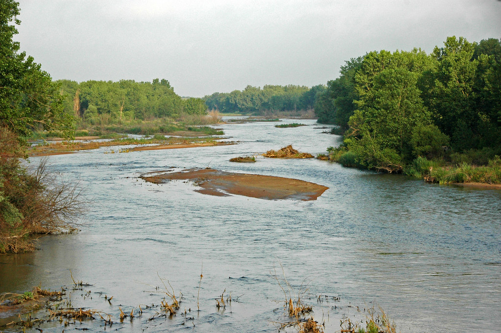
The North Platte River is a major tributary of the Platte River, approximately 716 miles long, counting its many curves, and travels about 550 miles in a straight line, through the U.S. states of Colorado, Wyoming, and Nebraska.
The river’s head is essentially all of Jackson County, Colorado, and from there, the river flows north about 200 miles out of the Routt National Forest and North Park near what is now Walden, Colorado, to Casper, Wyoming.
The North Platte and South Platte Rivers join to form the Platte River in western Nebraska near the city of North Platte, and the river provides the major avenue of drainage for northern Colorado, eastern Wyoming, and western Nebraska, though it is only navigable over most of its length at high water by canoes, kayaks, and rubber rafts.
Keya Paha River
The Keya Paha River is a 127-mile-long river flowing through the U.S. states of South Dakota and Nebraska, and its name is derived from the Dakota language ke’-ya pa-ha’, meaning “turtle hill,” specifically Turtle Butte.
The river originates in Todd County in south central South Dakota, at the confluence of Antelope Creek and Rock Creek near the town of Hidden Timber. It flows in a generally southeasterly direction through Todd and Tripp counties in South Dakota and then through Keya Paha and Boyd counties in Nebraska before ending at its confluence with the Niobrara River about 7 miles west of Butte, Nebraska.
The river has a year-round flow, except for winter ice, and has a quality of water better than all other South Dakota rivers.
Lakes
Lake McConaughy
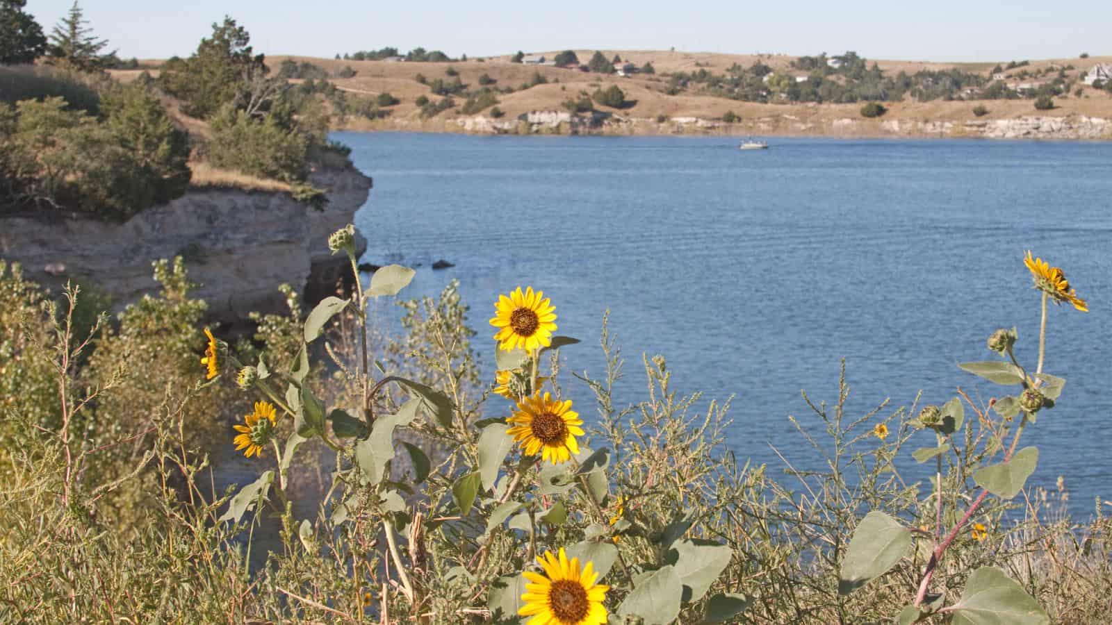
Lake McConaughy is a reservoir located 9 miles north of Ogallala, Nebraska, on the North Platte River, near U.S. Highway 26 and Nebraska Highway 61. The reservoir was named after Charles W. McConaughy, a grain merchant and mayor of Holdrege, Nebraska, who was one of the leading promoters of the project.
Although he did not live to see the completion of the project, his leadership and perseverance eventually culminated in a public power and irrigation project that helped Nebraska become one of the nation’s leading agricultural states.
Lewis and Clark Lake
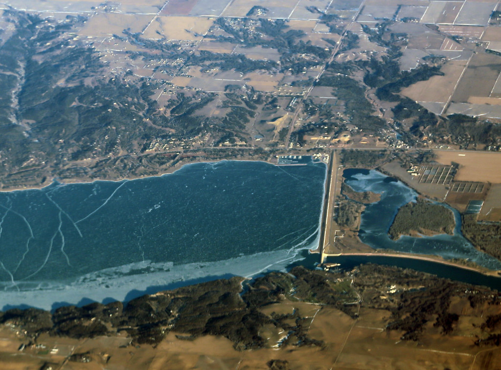
Lewis and Clark Lake is a 31,400-acre reservoir located on the border of the U.S. states of Nebraska and South Dakota on the Missouri River, approximately 25 miles in length with over 90 miles of shoreline and a maximum water depth of 45 feet.
The lake is impounded by Gavins Point Dam and is managed by the U.S. Army Corps of Engineers, Omaha District. It is located within Cedar and Knox Counties in Nebraska and Bon Homme and Yankton Counties in South Dakota, approximately 4 miles west or upstream of Yankton, South Dakota, with Lake Yankton located immediately downstream of Gavins Point Dam and the Santee Sioux Reservation located along the southwestern shore in Knox County.
Harlan County Lake
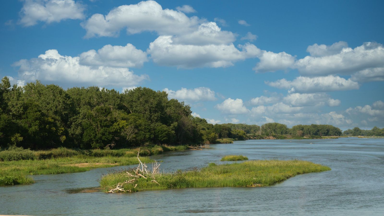
The Harlan County Reservoir is a 13,250-acre reservoir located in Harlan County in south-central Nebraska, with its southernmost part extending into northern Phillips County, Kansas. The reservoir is formed by a dam constructed by the U.S. Army Corps of Engineers on the Republican River, which starts in Colorado and ends in Kansas.
With a surface covering 13,250 acres, the Harlan County Reservoir lake sits in the bottomlands of the Republican River Valley, and is nine miles long with about 75 miles of shoreline, making it Nebraska’s second-largest lake.
Hugh Butler Lake
Hugh Butler Lake is a reservoir in Nebraska with a water surface of 1,629 acres, 4,461 land acres, about 35 miles of shoreline, and a maximum water capacity of 86,630 acre-feet. The lake offers various recreational activities such as fishing (for walleye, crappie, white bass, channel catfish, and wipers, etc.), hunting, boating, camping, and hiking. The shore borders Nebraska’s Red Willow Reservoir State Recreation Area, providing additional opportunities for outdoor enthusiasts.

