New Jersey, located in the Mid-Atlantic region of the United States, is a state known for its stunning coastline, rich history, and vibrant culture. With its picturesque beaches, bustling urban centers, and charming small towns, New Jersey offers a unique blend of nature and culture. To help visitors and residents navigate this beautiful state, we have created a detailed map of New Jersey with cities and highways.
This map highlights New Jersey’s major cities, including Newark, Jersey City, Trenton, and Atlantic City, as well as its primary highways and roads. Whether you’re planning a road trip or simply want to explore New Jersey’s unique landscape and culture, this map is an essential tool. So, grab your map and get ready to discover all that New Jersey has to offer, from its world-renowned boardwalks to its historic landmarks and everything in between.
Printable New Jersey Map With Cities and Highways

Cities
Asbury Park

Asbury Park is a beachfront city located on the Jersey Shore in Monmouth County, New Jersey. It is part of the New York metropolitan area. As of the 2020 United States census, the city’s population was 15,188, which was a decrease of 928 (-5.8%) from the 2010 census count of 16,116.
The city’s beach was named one of the best in the world by Money and one of the best in the country by Travel + Leisure in 2022. Asbury Park was originally incorporated as a borough in 1874 and was reincorporated in 1893. It was incorporated as a city, its current type of government, in 1897.
Atlantic City

Atlantic City, also known as A.C., is a Jersey Shore seaside resort city located in Atlantic County, New Jersey. The city is known for its casinos, nightlife, boardwalk, and Atlantic Ocean beaches and coastline. Atlantic City inspired the U.S. version of the board game Monopoly, which uses various Atlantic City street names and destinations in the game.
The first casino opened in Atlantic City two years after New Jersey voters legalized casino gambling in 1976. The city is also known for being the home of the Miss America pageant from 1921 to 2004, which later returned to the city from 2013 to 2018. As of the 2020 census, the city had a population of 38,497, a decline of 1,061 (-2.7%) from the 2010 census count of 39,558.
The city was incorporated in 1854 from portions of Egg Harbor Township and Galloway Township and is located on Absecon Island, bordering several other municipalities and the Atlantic Ocean.
Bayonne
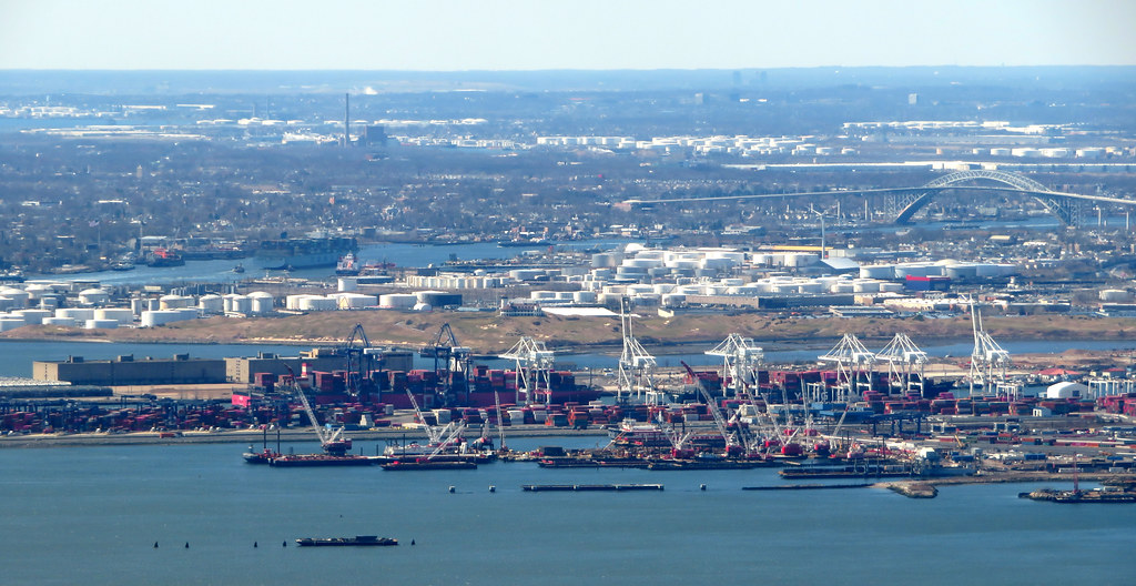
Bayonne is a city in Hudson County, New Jersey, located in the Gateway Region. The city is situated on a peninsula between Newark Bay to the west, the Kill Van Kull to the south, and New York Bay to the east. As of the 2020 United States census, Bayonne had a population of 71,686, making it the state’s 15th-most-populous municipality.
The city was originally formed as a township in 1861 from portions of Bergen Township and was reincorporated as a city in 1869, replacing Bayonne Township. Bayonne includes the communities of Bergen Point, Constable Hook, Centreville, Pamrapo, and Saltersville.
Traditional manufacturing, distribution, and maritime activities remain a driving force of the city’s economy, with a portion of the Port of New York and New Jersey located there, as well as the Cape Liberty Cruise Port.
Beachwood

Beachwood is a borough located in the Jersey Shore region within Ocean County, New Jersey. As of the 2020 United States census, the borough’s population was 10,859, which was a decrease of 186 (-1.7%) from the 2010 census count of 11,045, reflecting an increase of 670 (+6.5%) from the 10,375 counted in the 2000 census.
Beachwood was incorporated as a borough on March 22, 1917, from portions of Berkeley Township, based on the results of a referendum held on April 12, 1917.
Bellmawr
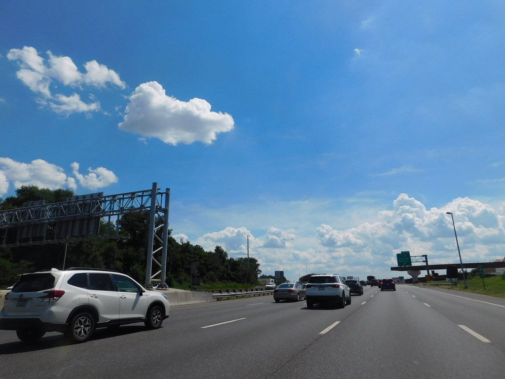
Bellmawr is a borough located in Camden County, New Jersey. As of the 2020 United States Census, the borough’s population was 11,707, which was an increase of 124 (+1.1%) from the 2010 census count of 11,583, reflecting an increase of 321 (+2.9%) from the 11,262 counted in the 2000 census.
Bellmawr is home to one of the largest post offices in the state of New Jersey, which handles an average of 4.5 million pieces of mail daily.
Bridgeton
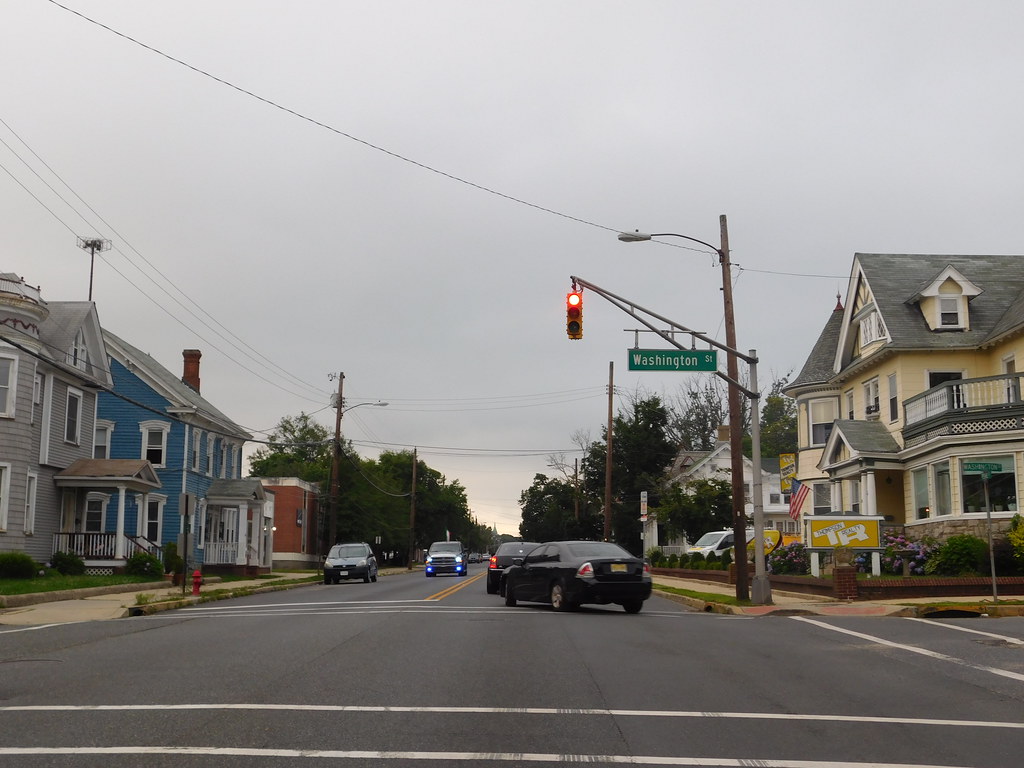
Bridgeton is a city located in Cumberland County, New Jersey, and serves as the county seat. The city is situated on the Cohansey River near Delaware Bay in the South Jersey region of the state. As of the 2020 United States census, Bridgeton’s population was 27,263, its highest decennial count ever, and an increase of 1,914 (+7.6%) from the 25,349 recorded at the 2010 census, which in turn had reflected an increase of 2,578 (+11.3%) from the 22,771 counted at the 2000 census.
Bridgeton and Vineland are the two principal cities of the Vineland-Bridgeton metropolitan statistical area, which encompasses those cities and all of Cumberland County for statistical purposes and is part of the Delaware Valley (i.e. the Philadelphia metro area). As of 2020, Bridgeton had the 13th-highest property tax rate in New Jersey with an equalized rate of 4.598%, compared to 3.089% in the county as a whole and a statewide average of 2.279%.
Brigantine
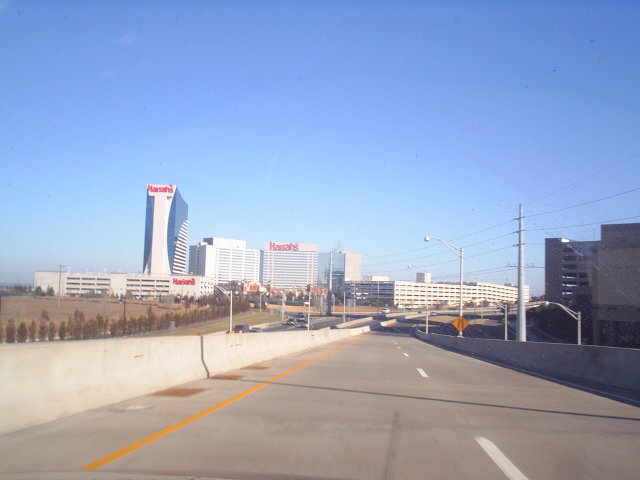
Brigantine, also known as The Island, is a city located in Atlantic County, New Jersey. As of the 2020 United States census, the city’s population was 7,716, which was a decrease of 1,734 (-18.3%) from the 2010 census count of 9,450, reflecting a decline of 3,144 (-25.0%) from the 12,594 counted in the 2000 census.
The city, along with all of Atlantic County, is part of the Atlantic City-Hammonton metropolitan statistical area, which is included in the Philadelphia-Reading-Camden combined statistical area and the Delaware Valley.
Brigantine has passed through a series of names and re-incorporations since it was first created, with the area originally incorporated as Brigantine Beach Borough on June 14, 1890, and eventually being incorporated as a city on March 16, 1924, replacing East Atlantic City and incorporating further portions of Galloway Township.
The city was named for the many shipwrecks in the area, including those of brigantines. Brigantine has been ranked as one of the best places to live in New Jersey by New Jersey Monthly magazine and was designated fourth in NJ.com’s rankings of “The 25 best Jersey Shore towns, ranked” in 2021.
Camden
Camden is a city located in Camden County, New Jersey, and serves as the county seat. The city is part of the Delaware Valley (Philadelphia metropolitan area) and is located directly across the Delaware River from Philadelphia. At the 2020 United States census, Camden was the 14th-most populous municipality in the state, with a population of 71,791, which was a decrease of 5,553 (-7.2%) from the 2010 census count of 77,344.
Camden was incorporated on February 13, 1828, and has been the county seat of Camden County since the county was formed on March 13, 1844. The city derives its name from Charles Pratt, 1st Earl Camden, and is made up of over 20 neighborhoods.
Camden was once a prosperous industrial city, but with the loss of manufacturing jobs, the city experienced a sharp population decline and civil unrest. However, the city has seen a decrease in crime in recent decades and is home to several educational and medical institutions, including Rutgers University-Camden, Cooper Medical School of Rowan University, Cooper University Hospital, and Virtua Our Lady of Lourdes Medical Center.
Carteret

Carteret is a borough located in Middlesex County, New Jersey. As of the 2020 United States census, the borough’s population was 25,326, which was an increase of 2,482 (+10.9%) from the 2010 census count of 22,844, reflecting an increase of 2,135 (+10.3%) from the 20,709 counted in the 2000 census.
Carteret is a diverse community with a rich history, having been settled in the 17th century and named after Sir George Carteret, one of the original proprietors of New Jersey. The borough is home to a number of parks and recreational facilities, including Carteret Park, which features a playground, basketball courts, and a baseball field.
Carteret is also home to the Middlesex County College Aviation Center, which offers programs in aviation maintenance and technology. The borough is conveniently located near major highways and transportation hubs, making it a popular destination for businesses and residents alike.
Clifton

Clifton is a city located in Passaic County, New Jersey, and is a regional commercial hub for North Jersey. Criss-crossed by several major highways, the city is a bedroom suburb of New York City in the New York Metropolitan Area. As of the 2020 United States Census, the city retained its position as the state’s 11th-most-populous municipality, with a population of 90,296, reflecting an overall increase of 6,160 (+7.3%) from the 2010 census count of 84,136.
The Census Bureau’s Population Estimates Program calculated that the city’s population was 88,709 in 2022, reflecting an overall decrease of 1,587 (1.8%) from the 90,296 counted in the 2020 census. Clifton was incorporated as a city on April 26, 1917, replacing Acquackanonk Township, and is listed under five different ZIP codes. The city has been named one of the best cities to live in the United States.
Collingswood
Collingswood is a borough located in Camden County, New Jersey, just 5 miles (8.0 km) east of Center City Philadelphia. As of the 2020 United States Census, the borough’s population was 14,186, reflecting an increase of 260 (+1.9%) from the 2010 census count of 13,926.
The borough has a rich Quaker history, and as a result, Collingswood was founded as a dry town where alcohol cannot be sold. However, restaurant patrons are permitted to bring their own wine and beer to consume. In 2015, the town introduced an ordinance that allows craft breweries to operate in the town but not serve food.
Collingswood is well known for its selection of shops and restaurants primarily along Haddon Avenue and was ranked as the “#1 small-town food scene in America” by USA Today in May 2018. The borough’s vibrant food scene is a major draw for visitors and residents alike.
Dover
Dover is a town located in Morris County, New Jersey, on the Rockaway River, about 31 miles (50 km) west of New York City and about 23 miles (37 km) west of Newark, New Jersey. As of the 2020 United States Census, the town’s population was 18,460, reflecting an increase of 303 (+1.7%) from the 2010 census count of 18,157.
The town’s population has been relatively stable over the past two decades, with a decline of only 31 (-0.2%) from the 18,188 counted in the 2000 census. Dover is a majority-minority community, with nearly 70% of the population as of the 2010 census identifying themselves as Hispanic, up from 25% in 1980.
The town’s diverse population has contributed to its vibrant cultural scene, with a variety of festivals and events celebrating different cultures throughout the year. Dover is also home to several parks and recreational areas, including the Dover Town Park and the Baker’s Field Athletic Complex, which features a variety of sports fields and courts.
Eatontown
Eatontown is a borough located in Monmouth County, New Jersey. As of the 2020 United States Census, the borough’s population was 13,597, reflecting an increase of 888 (+7.0%) from the 2010 census count of 12,709. The community that is now Eatontown was originally incorporated as Eatontown Township in 1873, from portions of Ocean Township and Shrewsbury Township.
The borough was reincorporated as a borough in 1926, replacing Eatontown Township. The borough was named after Thomas Eaton, an early settler who built a mill c. 1670. The United States Army’s Fort Monmouth operated in Eatontown from 1917 until its closure in September 2011, and it was home to the United States Army Materiel Command’s (AMC) Communication and Electronics Command (CECOM).
In the center of Eatontown is the Monmouth Mall, featuring a variety of stores, restaurants, and a 15-screen cineplex, with a gross leasable area of 1,500,000 square feet (140,000 m2). Celebrity chef Bobby Flay previously owned a restaurant in Eatontown.
Elizabeth

Elizabeth is a city and the county seat of Union County, New Jersey. As of the 2020 United States Census, the city retained its ranking as the state’s fourth-most populous city, with a population of 137,298, reflecting an increase of 12,329 (+9.9%) from the 2010 census count of 124,969. The city’s population has been steadily increasing over the past two decades, with an increase of 4,401 (3.7%) from the 120,568 counted in the 2000 census.
The Census Bureau’s Population Estimates Program calculated that the city’s population was 134,283 in 2022, ranking the city the 210th-most populous in the country and making it the fifth-most populous municipality of any type in the state, falling behind Lakewood Township, where the population was estimated to be 139,506, as of that year.
Elizabeth is a diverse community with a rich history, having been founded in 1664 and named after Elizabeth, wife of Sir George Carteret, one of the original proprietors of New Jersey. The city is home to several historic sites, including the Boxwood Hall, the First Presbyterian Church of Elizabeth, and the Union County Courthouse.
Glassboro
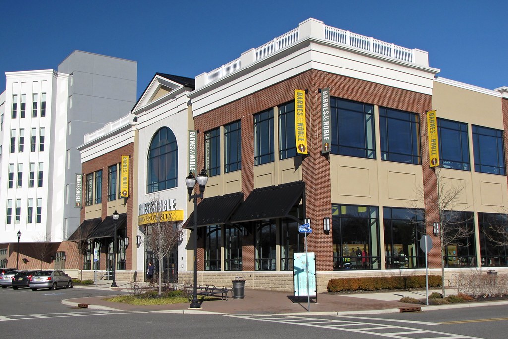
Glassboro is a borough located within Gloucester County, New Jersey, within the Philadelphia metropolitan area. As of the 2020 United States Census, the borough’s population was 23,149, its highest decennial count ever and an increase of 4,570 (+24.6%) from the 18,579 recorded at the 2010 census.
The recent and projected growth in Glassboro has been attributed to the growth trajectory of Rowan University, founded in 1923 and formerly known as Glassboro State College. Glassboro and surrounding Gloucester County constitute part of South Jersey. The borough was originally formed as a township by an act of the New Jersey Legislature in 1878, from portions of Clayton Township. Portions of the township were taken to form Elk Township in 1891 and Pitman in 1905. Glassboro was incorporated as a borough in 1920, replacing Glassboro Township.
The borough was named for its glass industry, which played a significant role in its early development. Today, Glassboro is a thriving community with a diverse economy and a range of recreational opportunities, including parks, hiking trails, and cultural events.
Gloucester City

Gloucester City is a city located in Camden County, New Jersey, directly across the Delaware River from Philadelphia and the Port of Philadelphia. As of the 2020 United States Census, the city’s population was 11,484, reflecting an increase of 28 (+0.2%) from the 2010 census count of 11,456, which in turn reflected a decline of 28 (-0.2%) from the 11,484 counted in the 2000 census.
The city was incorporated by an act of the New Jersey Legislature in 1868, from the remaining portions of Union Township, which was then dissolved. Gloucester City is known for its Irish-American population, which was ninth-highest in the United States by percentage in the 2000 Census.
The city’s name derives from Gloucester, England. Gloucester City has the 23rd-highest property tax rate in New Jersey, with an equalized rate of 4.343% in 2020, compared to 3.470% in the county as a whole and a statewide average of 2.279%. Despite its small size, Gloucester City offers a range of recreational opportunities, including parks, trails, and community events.
Hillsdale
Hillsdale is a borough located in the northern portion of Bergen County, New Jersey, within the New York City metropolitan area. As of the 2020 United States Census, the borough’s population was 10,143, reflecting a decrease of 76 (-0.7%) from the 2010 census count of 10,219, which in turn reflected an increase of 132 (+1.3%) from the 10,087 counted in the 2000 census.
The area now known as Hillsdale took form in the mid-to-late 19th century as land speculators developed subdivisions to profit from the coming of the Hackensack and New York Railroad. The area was incorporated as Hillsdale Township in 1898, from portions of Washington Township. Portions of the township were taken in 1906 to create the township of River Vale.
Hillsdale was reincorporated as a borough in 1923, subject to approval which came in a referendum held on April 24, 1923. The borough’s name derives from its location in a “dale among the hills”. Today, Hillsdale is a thriving community with a range of recreational opportunities, including parks, hiking trails, and community events.
Jersey City
Jersey City is the second-most populous city in the U.S. state of New Jersey, after Newark, and the largest city and county seat of Hudson County. As of the 2020 United States Census, the city’s population was 292,449, reflecting an increase of 44,852 (+18.1%) from the 2010 census count of 247,597, which in turn reflected an increase of 7,542 (+3.1%) from the 240,055 enumerated at the 2000 census.
The city’s population has been steadily increasing over the past two decades, with significant redevelopment of the Jersey City waterfront making the city one of the largest centers of banking and finance in the United States. Jersey City is an important transportation terminus and distribution and manufacturing center for the Port of New York and New Jersey, with extensive rail infrastructure and connectivity.
The city shares significant mass transit connections with Manhattan and has been nicknamed Wall Street West. By the early 2020s, the median rental rate in Jersey City had possibly become the highest of any city in the United States, based on data that looked at rents in selected portions of the city.
Keansburg

Keansburg is a borough located in Monmouth County, New Jersey. As of the 2020 United States Census, the borough’s population was 9,755, reflecting a decrease of 350 (-3.5%) from the 2010 census count of 10,105, which in turn reflected a decline of 627 (-5.8%) from 10,732 in the 2000 census.
Keansburg was formed as a borough by an act of the New Jersey Legislature in 1917, from portions of both Middletown Township and Raritan Township (now Hazlet), based on the results of a referendum held on April 17, 1917. Keansburg has been part of the Bayshore Regional Strategic Plan, an effort by nine municipalities in northern Monmouth County to reinvigorate the area’s economy by emphasizing its traditional downtowns, dense residential neighborhoods, maritime history, and the natural beauty of the Raritan Bay coastline.
The plan has since been integrated into the 2016 Monmouth County Master Plan. Despite its small size, Keansburg offers a range of recreational opportunities, including parks, beaches, and community events.
Lincoln Park
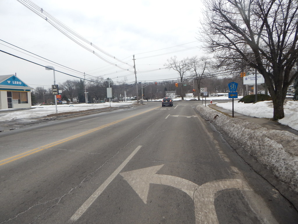
Lincoln Park is a borough located in Morris County, New Jersey. As of the 2020 United States Census, the borough’s population was 10,915, reflecting an increase of 394 (+3.7%) from the 2010 census count of 10,521, which in turn reflected a decline of 409 (-3.7%) from the 10,930 counted in the 2000 census.
Lincoln Park was incorporated as a borough by an act of the New Jersey Legislature in 1922, from portions of Pequannock Township, and was reincorporated in 1925. The borough was named for President Abraham Lincoln and is situated in the easternmost part of Morris County, bordering both Essex and Passaic counties along the Passaic and Pompton rivers.
In 2008, New Jersey Monthly magazine ranked Lincoln Park as its 5th best place to live in its rankings of the “Best Places To Live” in the state, citing its strong sense of community, excellent schools, and convenient location. Despite its small size, Lincoln Park offers a range of recreational opportunities, including parks, hiking trails, and community events.
Linden
Linden is a city located in southeastern Union County, New Jersey, and is part of the New York Metropolitan Area. The city is situated about 13 miles (21 km) southwest of Manhattan, bordering Staten Island, a borough of New York City, across the Arthur Kill.
As of the 2020 United States Census, the city’s population was 43,738, reflecting an increase of 3,239 (+8.0%) from the 2010 census count of 40,499, which in turn reflected an increase of 1,105 (+2.8%) from the 39,394 counted in the 2000 census.
Linden was originally formed as a township in 1861 from portions of Elizabeth, Rahway, and Union Township. Portions of the township were taken to form Cranford in 1871, Linden Borough in 1882, and Roselle in 1894. Linden was incorporated as a city in 1925, replacing both Linden Township and Linden Borough, based on the results of a referendum held in 1923.
The city’s name derives from linden trees that were brought from Germany. Today, Linden is a bustling community with a range of recreational opportunities, including parks, community events, and easy access to nearby cultural attractions.
Lindenwold
Lindenwold is a borough located in Camden County, New Jersey. As of the 2020 United States Census, the borough’s population was 21,641, reflecting an increase of 4,028 (+22.9%) from the 2010 census count of 17,613, which in turn reflected an increase of 199 (+1.1%) from the 17,414 counted in the 2000 census. Lindenwold has the 10th-highest property tax rate in New Jersey as of 2020, with an equalized rate of 4.810%, compared to 3.470% in the county as a whole and a statewide average of 2.279%.
The borough is part of the South Jersey region of the state and offers a range of recreational opportunities, including parks, community events, and easy access to nearby cultural attractions. Despite its small size, Lindenwold is a vibrant community with a diverse population and a robust sense of community spirit.
Middlesex

Middlesex is a borough located in Middlesex County, New Jersey, within the Raritan Valley region. As of the 2020 United States Census, the borough’s population was 14,636, its highest decennial count and an increase of 1,001 (+7.3%) from the 2010 census count of 13,635, which in turn reflected a decline of 82 (-0.6%) from the 13,717 counted in the 2000 census.
Middlesex was incorporated as a borough by an act of the New Jersey Legislature in 1913, from portions of Piscataway, based on the results of a referendum held in May of that year. The borough was named after Middlesex, England, and is known for its welcoming community and small-town charm.
Despite its small size, Middlesex offers a range of recreational opportunities, including parks, community events, and easy access to nearby cultural attractions. The borough is also home to a range of local businesses and restaurants, making it a popular destination for visitors and residents alike.
Moorestown
Moorestown is a township located in Burlington County, New Jersey, and is an eastern suburb of Philadelphia, geographically part of the South Jersey region of the state. As of the 2020 United States Census, the township’s population was 21,355, reflecting an increase of 629 (+3.0%) from the 2010 census count of 20,726, which in turn reflected an increase of 1,709 (+9.0%) from the 19,017 counted in the 2000 census.
The township was authorized to be incorporated by the New Jersey Legislature in 1922, from portions of Chester Township, subject to the approval of voters in the affected area in a referendum. The township is named for Thomas Moore who settled in the area in 1722 and constructed a hotel. Moorestown is known for its strict liquor laws, which banned all liquor sales in 1915 and retained the restrictions for more than 70 years after Prohibition ended in 1933.
In 2005, Moorestown was ranked number one in Money magazine’s list of the 100 best places to live in America, citing its strong sense of community, excellent schools, and convenient location. Today, Moorestown is a thriving community with a range of recreational opportunities, including parks, community events, and easy access to nearby cultural attractions.
Morristown
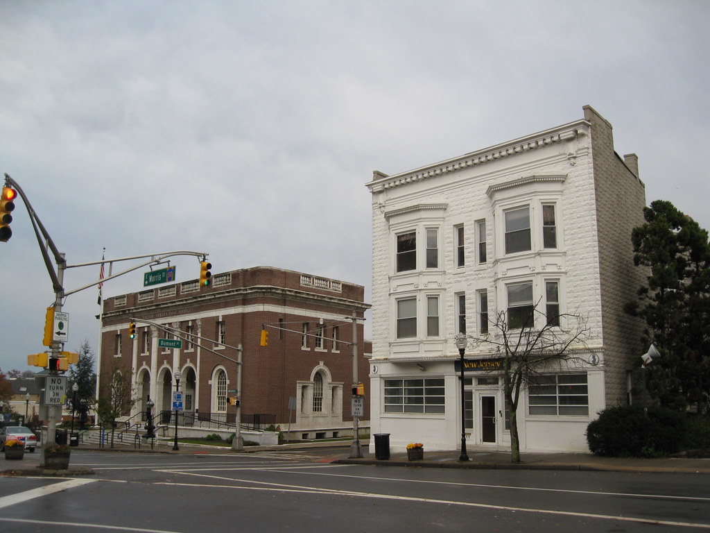
Morristown is a town and the county seat of Morris County, New Jersey. The town has played a significant role in American history, particularly during the Revolutionary War, earning it the nickname “the military capital of the American Revolution.” Morristown’s history is visible in a variety of locations that collectively make up Morristown National Historical Park, the country’s first National Historical Park.
The first permanent settlement in Morristown was New Hanover, founded in 1715 by colonists from New York and Connecticut. Morris County was created in 1739, and ultimately Morristown itself was named for the popular Governor of the Province, Lewis Morris. Morristown was incorporated as a town by the New Jersey Legislature in 1865, within Morris Township, and was formally set off from the township in 1895.
As of the 2020 United States Census, the town’s population was 20,180, reflecting an increase of 1,769 (+9.6%) from the 2010 census count of 18,411, which in turn reflected a decline of 133 (-0.7%) from the 18,544 counted in the 2000 census. Today, Morristown is a bustling community with a range of recreational opportunities, including parks, community events, and easy access to nearby cultural attractions.
New Brunswick
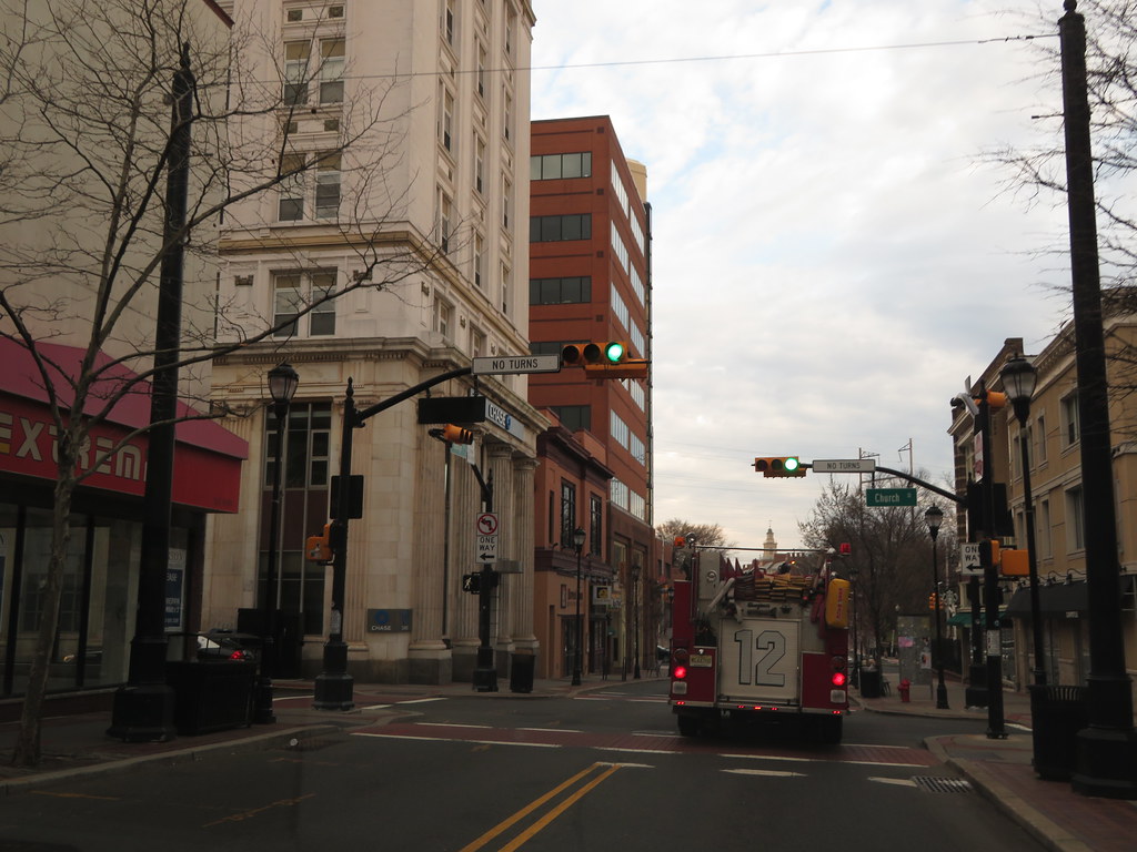
New Brunswick is a city located in Middlesex County, New Jersey, and is the seat of government for the county. The city is both a college town, home to Rutgers University, the state’s largest university, and a commuter town for residents commuting to New York City within the New York metropolitan area.
New Brunswick is on the Northeast Corridor rail line, 27 miles southwest of Manhattan, and is located on the southern banks of the Raritan River in the heart of the Raritan Valley region. As of the 2020 United States Census, the city’s population was 55,266, reflecting an increase of 85 (+0.2%) from the 2010 census count of 55,181, which in turn reflected an increase of 6,608 (+13.6%) from the 48,573 counted in the 2000 census.
New Brunswick is known as both the Hub City and the Healthcare City due to the concentration of medical facilities in the area, including Rutgers Robert Wood Johnson University Hospital and medical school, and Saint Peter’s University Hospital. The city is also home to the corporate headquarters and production facilities of several global pharmaceutical companies, including Johnson & Johnson and Bristol Myers Squibb.
New Brunswick has evolved into a major center for the sciences, arts, and cultural activities, and is noted for its ethnic diversity, with growing Asian and Hispanic communities developing around French Street near Robert Wood Johnson University Hospital.
New Providence
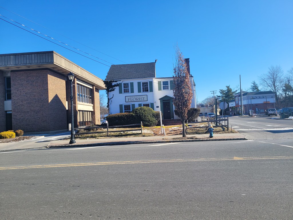
New Providence is a borough located on the northwestern edge of Union County, New Jersey, on the Passaic River, which forms the county boundary with Morris County bordering Chatham Township. As of the 2020 United States Census, the borough’s population was 13,650, reflecting an increase of 1,479 (+12.2%) from the 2010 census count of 12,171, which in turn reflected an increase of 264 (+2.2%) from the 11,907 counted in the 2000 census.
The borough is home to much of the Murray Hill neighborhood, with the remainder lying in neighboring Berkeley Heights. Service on the NJ Transit is available at the New Providence and Murray Hill stations.
New Providence is known for its ample public parkland, with more than 9% of the borough’s land being publicly owned and protected parkland. The parks offer a range of recreational opportunities, including hiking, biking, fishing, and picnicking, making New Providence a popular destination for outdoor enthusiasts.
Newark
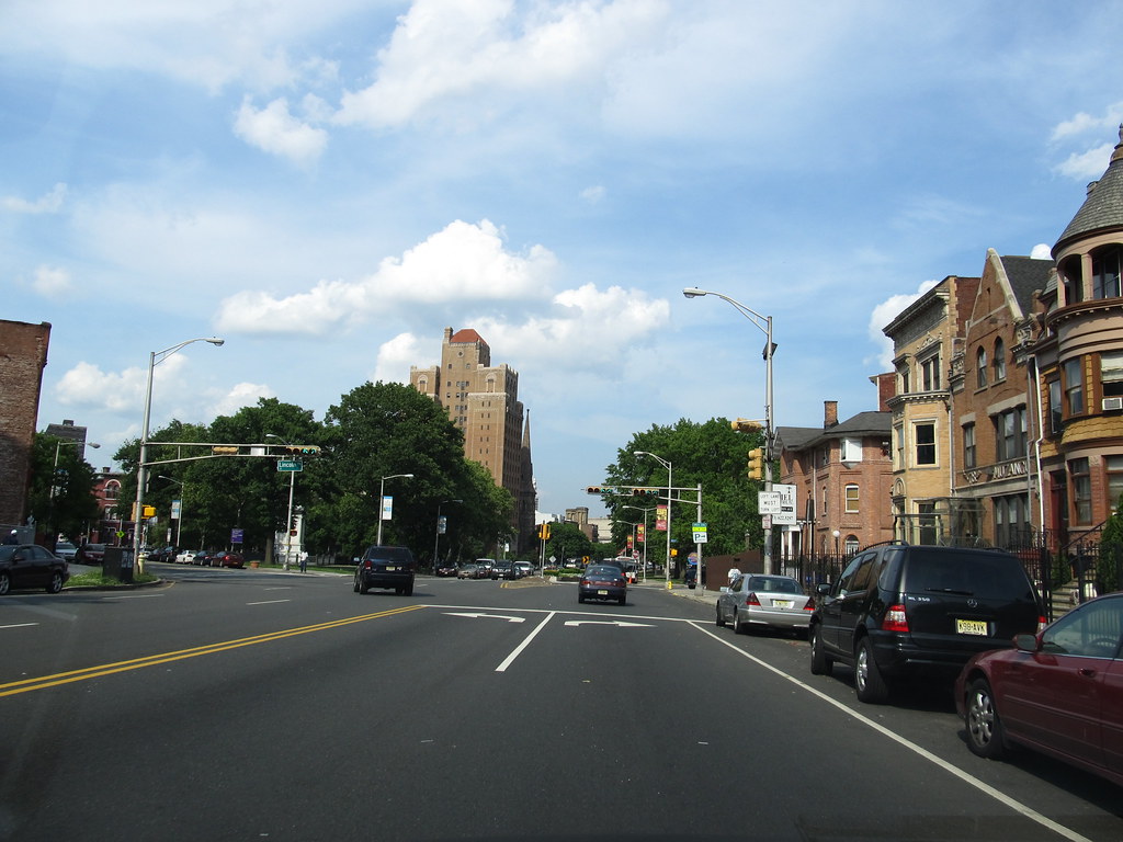
Newark is a city located in Essex County, New Jersey, and is the most populous city in the state. As of the 2020 census, the city’s population was 311,549, making it the 66th-most populous municipality in the nation. Settled in 1666 by Puritans from New Haven Colony, Newark is one of the oldest cities in the United States.
Its location at the mouth of the Passaic River has made the city’s waterfront an integral part of the Port of New York and New Jersey, with Port Newark–Elizabeth being the primary container shipping terminal of the busiest seaport on the U.S. East Coast. Newark Liberty International Airport was the first municipal commercial airport in the United States and is one of its busiest.
The city is home to several companies, including Prudential, PSEG, Panasonic Corporation of North America, Audible.com, IDT Corporation, Manischewitz, and AeroFarms. Newark is also home to a number of higher education institutions, including the Newark campus of Rutgers University, the New Jersey Institute of Technology, and Seton Hall University’s law school.
The city’s cultural venues include the New Jersey Performing Arts Center, Newark Symphony Hall, the Prudential Center, The Newark Museum of Art, and the New Jersey Historical Society. Newark is divided into five political wards, each containing neighborhoods ranging in character from bustling urban districts to quiet suburban enclaves.
Perth Amboy
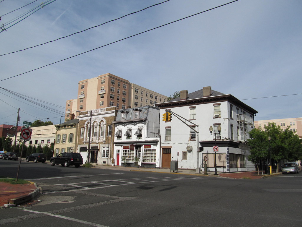
Perth Amboy is a city located in northeastern Middlesex County, New Jersey, within the New York metropolitan area. As of the 2020 United States Census, the city’s population was 55,436, its highest decennial count ever, and an increase of 4,622 (+9.1%) from the 50,814 recorded at the 2010 census. Perth Amboy has a Hispanic majority population, with the Hispanic population making up 78.1% of the population in the 2010 census, the second-highest in the state, behind Union City at 84.7%.
The city is known as the “City by the Bay,” referring to its location adjoining Raritan Bay. Perth Amboy was settled in 1683 by Scottish colonists and was called “New Perth” after James Drummond, 4th Earl of Perth. Perth Amboy was formed by Royal Charter in 1718 and was the capital of the Province of New Jersey from 1686 to 1776.
Today, the city features a historic waterfront and is connected to the Staten Island borough of New York City via the Outerbridge Crossing. The Raritan Yacht Club, one of the oldest yacht clubs in the United States, is located in the city.
Princeton

Princeton is a municipality located in Mercer County, New Jersey, with a borough form of government. It was established on January 1, 2013, through the consolidation of the Borough of Princeton and Princeton Township, both of which are now defunct. As of the 2020 United States Census, the borough’s population was 30,681, an increase of 2,109 (+7.4%) from the 2010 census combined count of 28,572.
Princeton is home to Princeton University, which moved to the community in 1756 from its previous location in Newark. Other important institutions in the area include the Institute for Advanced Study, Princeton Plasma Physics Laboratory, Princeton Theological Seminary, Opinion Research Corporation, Bristol-Myers Squibb, Siemens Corporate Research, SRI International, FMC Corporation, The Robert Wood Johnson Foundation, Amrep, Church and Dwight, Berlitz International, and Dow Jones & Company.
Princeton is roughly equidistant from New York City and Philadelphia and is close to major highways that serve both cities. The community was composed of two separate municipalities, a township, and a borough, until they were reunited into a single Princeton in January 2013. Princeton was ranked 15th of the top 100 towns in the United States to Live In by Money magazine in 2005.
Somers Point
Somers Point is a city situated on the Jersey Shore and is the oldest settlement in Atlantic County, New Jersey. The city was settled by Europeans in 1693 and was incorporated as a borough in 1886, becoming a city in 1902. It is located in eastern Atlantic County, southwest of Atlantic City, in the South Jersey region of the state.
As of the 2020 United States Census, the city’s population was 10,469, a decrease of 326 (-3.0%) from the 2010 census count of 10,795. The decline in population continues from the 2000 census count of 11,614. Somers Point is part of the Atlantic City-Hammonton metropolitan statistical area, which in turn constitutes part of the Philadelphia-Reading-Camden combined statistical area.
Somerville
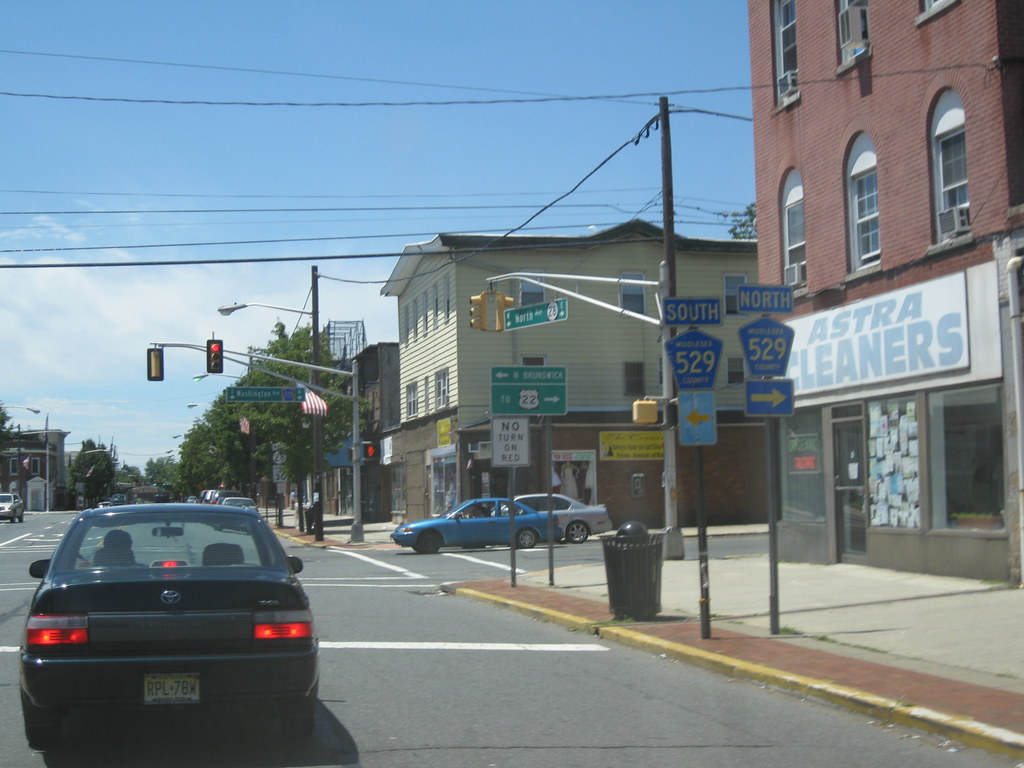
Somerville is a borough and the county seat of Somerset County, New Jersey, located in the heart of the Raritan Valley region within the New York Metropolitan Area. The borough is approximately 33 miles (53 km) from Manhattan and 20 miles (32 km) from Staten Island, making it a commuter town of New York City. As of the 2020 United States Census, the borough’s population was 12,346, an increase of 248 (+2.0%) from the 2010 census count of 12,098.
Somerville is a commercial hub for central New Jersey and is home to the oldest competitive bicycle race in the United States. The borough was originally formed as a town on March 25, 1863, within a portion of Bridgewater Township and was incorporated as a borough on April 16, 1909, based on the results of a referendum held on May 4, 1909, at which point it was fully set off from Bridgewater Township. The borough derives its name from Somerset in England.
Summit
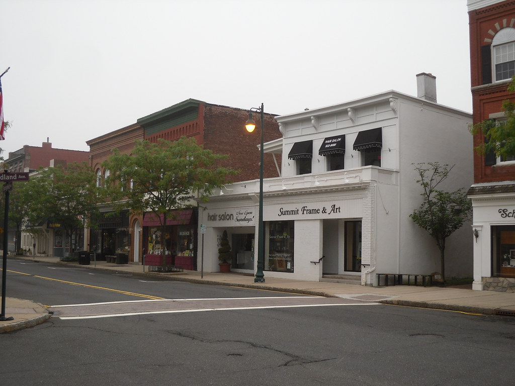
Summit is a city located in the northernmost part of Union County, New Jersey, within the New York metropolitan area. The city is situated on a ridge in northern-central New Jersey and borders both Essex and Morris counties in the Passaic Valley region. Summit is a commercial hub and commuter town for New York City commuters.
As of the 2020 United States Census, the city’s population was 22,719, an increase of 1,262 (+5.9%) from the 2010 census count of 21,457. The city was originally incorporated as Summit Township on March 23, 1869, from portions of New Providence Township (now Berkeley Heights) and Springfield Township.
Summit was reincorporated as a city on March 8, 1899. The name “Summit” may have been derived from its location atop the Second Watchung Mountain, the Summit Lodge, or a local sawmill owner who granted passage to the Morris and Essex Railroad for a route to “the summit of the Short Hills”.
Trenton

Trenton is the capital city of the U.S. state of New Jersey and the seat of Mercer County. It was also the capital of the United States from November 1 until December 24, 1784. Trenton and Princeton are the two principal cities of the Trenton–Princeton metropolitan statistical area, which encompasses those cities and all of Mercer County for statistical purposes and constitutes part of the New York combined statistical area by the U.S. Census Bureau.
However, Trenton directly borders the Philadelphia metropolitan area to its west, and the city was part of the Philadelphia combined statistical area from 1990 until 2000. As of the 2020 United States Census, Trenton was the state’s 10th-most-populous municipality, with a population of 90,871, an increase of 5,958 (+7.0%) from the 2010 census count of 84,913.
Trenton is the only city in New Jersey that serves three separate commuter rail transit systems (Amtrak, NJ Transit, and SEPTA), and the city has encouraged a spate of transit-oriented development since 2010. Trenton dates back at least to June 3, 1719, when mention was made of a constable being appointed for Trenton while the area was still part of Hunterdon County. The city has a rich history, including being appointed as New Jersey’s capital on November 25, 1790, and forming the City of Trenton on November 13, 1792, within Trenton Township.
Union City
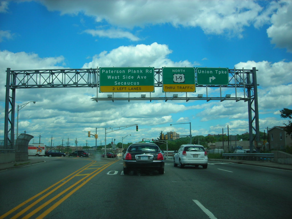
Union City is a city located in the northern part of Hudson County, New Jersey. As of the 2020 United States Census, the city was the state’s 18th-most-populous municipality, with a population of 68,589. Union City is known for its dense population, with a density of 54,138 per square mile of land, making it the most densely populated city in the United States among cities with a population of more than 50,000 according to the 2010 Census.
The city was incorporated on June 1, 1925, with the merger of Union Hill and West Hoboken Township, and its name references the merger of those two municipalities. Union City has a rich history of immigration, with two major waves of German and Spanish speakers greatly influencing its development and character.
The city is known for its nicknames, “Embroidery Capital of the United States” and “Havana on the Hudson”, and is home to the nation’s longest-running passion play. Union City is also the birthplace of Mallomars and the site of the first lunch wagon, which helped spark New Jersey’s golden age of diner manufacturing, for which the state is colloquially referred to as the “diner capital of the world” by author Richard J.S. Gutman.
Williamstown
Williamstown is an unincorporated community and census-designated place located in Monroe Township in Gloucester County, New Jersey. As of the 2010 U.S. census, Williamstown had a population of 15,567. The community is home to a variety of residential neighborhoods, shopping centers, and restaurants, making it a popular destination for both residents and visitors alike.
Williamstown is also known for its proximity to several state parks, including Wharton State Forest and Belleplain State Forest, which offer opportunities for hiking, camping, fishing, and other outdoor activities.
The community is served by the Monroe Township School District, which includes several elementary schools, a middle school, and a high school. With its convenient location and range of amenities, Williamstown is a desirable place to live for those seeking a suburban lifestyle within easy reach of Philadelphia and other nearby cities.
Woodbury
Woodbury is the county seat of Gloucester County, New Jersey, and part of the Philadelphia-Wilmington-Camden, PA-NJ-DE-MD combined statistical area, also known as the Delaware Valley or Philadelphia metropolitan area. As of the 2020 United States census, the city’s population was 9,963, a decrease of 211 (-2.1%) from the 2010 census count of 10,174.
Woodbury was originally formed as a borough on March 27, 1854, within Deptford Township based on the results of a March 22, 1854, referendum. The city was reincorporated as a city on January 2, 1871, based on the results of a referendum held that day.
Woodbury is home to Inspira Health Network and was the location of the now-defunct Woodbury Country Club, which operated from 1897 to 2010 before closing due to declining membership and mounting debt that led to its 2013 bankruptcy filing. The city had the 14th-highest property tax rate in New Jersey with an equalized rate of 4.582% as of 2020 compared to 3.212% in the county as a whole and a statewide average of 2.279%.
Interstates
Interstate 95
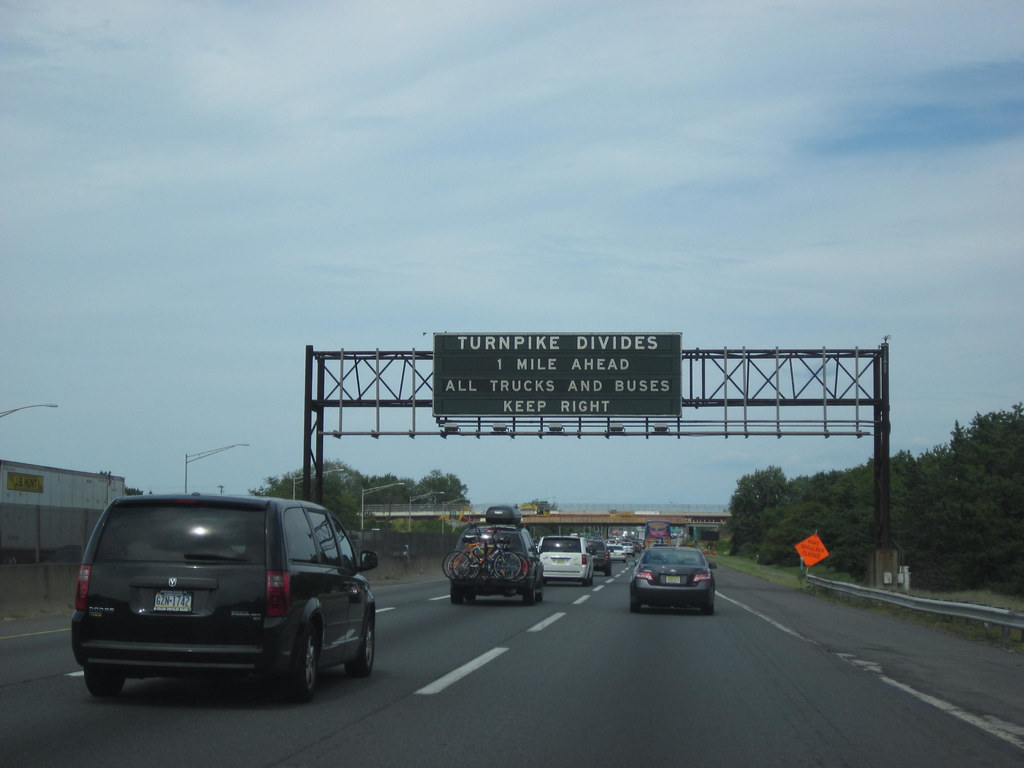
Interstate 95 (I-95) is a major Interstate Highway that runs along the East Coast of the United States from Miami, Florida, north to the Canada–United States border at Houlton, Maine. In New Jersey, it runs along much of the mainline of the New Jersey Turnpike, as well as the Pearl Harbor Memorial Turnpike Extension and the New Jersey Turnpike’s I-95 Extension, for a total of 77.96 miles.
The Western Spur of the New Jersey Turnpike, considered to be Route 95W, is also part of I-95. I-95 enters New Jersey from the Pennsylvania Turnpike on the Delaware River–Turnpike Toll Bridge, continuing north along the remainder of the New Jersey Turnpike to the George Washington Bridge, on which it enters New York.
All of I-95 in New Jersey is maintained by the New Jersey Turnpike Authority except for the George Washington Bridge, which is maintained by the Port Authority of New York and New Jersey. The completion of the Pennsylvania Turnpike/Interstate 95 Interchange Project in 2018 finally filled the gap in I-95 in New Jersey, allowing a direct freeway route from Philadelphia to New York City and completing I-95 as a whole.
Interstate 287

Interstate 287 (I-287) begins at an interchange with the New Jersey Turnpike (I-95) in Edison, Middlesex County, where the freeway continues east as Route 440 toward Perth Amboy and Staten Island. Within Middlesex County, I-287 is called the Lt. Col. (Ret) Richard F. Lauer, US Army Highway. From this point, it heads west as an eight-lane freeway through suburban areas, passing under Conrail Shared Assets Operations’ Bonhamtown Industrial Track line and a railroad spur before reaching an interchange with Route 27.
Following Route 27, I-287 narrows to six lanes and passes over Amtrak’s Northeast Corridor as it continues to a southbound exit and northbound entrance with CR 501. The freeway continues into South Plainfield, passing near several business parks and coming to a partial interchange with Durham Avenue before reaching a full junction with CR 529.
Near more business parks, I-287 comes to the exit for South Randolphville Road before turning southwest and reaching an interchange with the northern terminus of Route 18. After Route 18, the freeway comes to the CR 622 (River Road) exit. Overall, I-287 provides a vital transportation artery in New Jersey, connecting several suburbs and small towns and providing a crucial link between major highways in the region.
Interstate 295
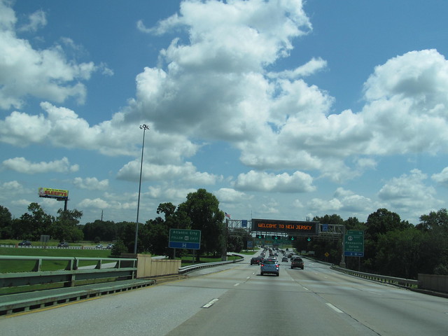
Interstate 295 (I-295) is an auxiliary Interstate Highway that serves as a bypass around Philadelphia, Pennsylvania, and a partial beltway of Trenton, New Jersey. The route begins at a junction with I-95 south of Wilmington, Delaware, and runs to an interchange with I-95 in Bristol Township, Pennsylvania.
Upon entering New Jersey, I-295 runs parallel to the New Jersey Turnpike for most of its course in the state, with an interchange with I-76 and Route 42 in Camden County. The freeway continues northeast toward Trenton, where it intersects I-195 and Route 29 before bypassing the city to the east, north, and west, crossing the Delaware River on the Scudder Falls Bridge into Pennsylvania.
In Pennsylvania, I-295 is signed as an east-west road and heads south to its other terminus at I-95. I-295 is one of two auxiliary Interstates in the US to enter three states. The route was designated in New Jersey in 1958 and in Delaware in 1959, with improvements and extensions made over the years. Today, I-295 provides a key transportation artery for commuters and travelers alike, connecting several major cities and providing a crucial link between the East Coast and the Midwest.
Interstate 78

Interstate 78 (I-78) is a major east-west route stretching from Union Township, Lebanon County, Pennsylvania, to New York City. In New Jersey, I-78 is known as the Phillipsburg-Newark Expressway and the Newark Bay-Hudson County Extension of the New Jersey Turnpike. The highway runs for 67.83 miles in the northern part of the state, from the I-78 Toll Bridge over the Delaware River at the Pennsylvania state line in Phillipsburg, Warren County, east to the Holland Tunnel under the Hudson River at the New York state line in Jersey City, Hudson County.
The Phillipsburg-Newark Expressway portion of I-78 runs from the Phillipsburg area east across rural areas of western New Jersey before entering suburban areas in Somerset County. The road crosses the Watchung Mountains, widening into a local express lane configuration at Route 24 as it continues through urban areas to Newark. Here, I-78 intersects the mainline of the New Jersey Turnpike and becomes the Newark Bay Extension, crossing the Newark Bay Bridge and continuing to Jersey City.
The route, along with Route 139, follows a one-way pair of surface streets to the Holland Tunnel. The construction of I-78 was a long and complex process, with opposition from environmentalists and residents in several areas. Today, I-78 serves as a vital transportation channel for commuters and travelers alike, connecting major cities and providing a crucial link between the East Coast and the Midwest.
Interstate 80
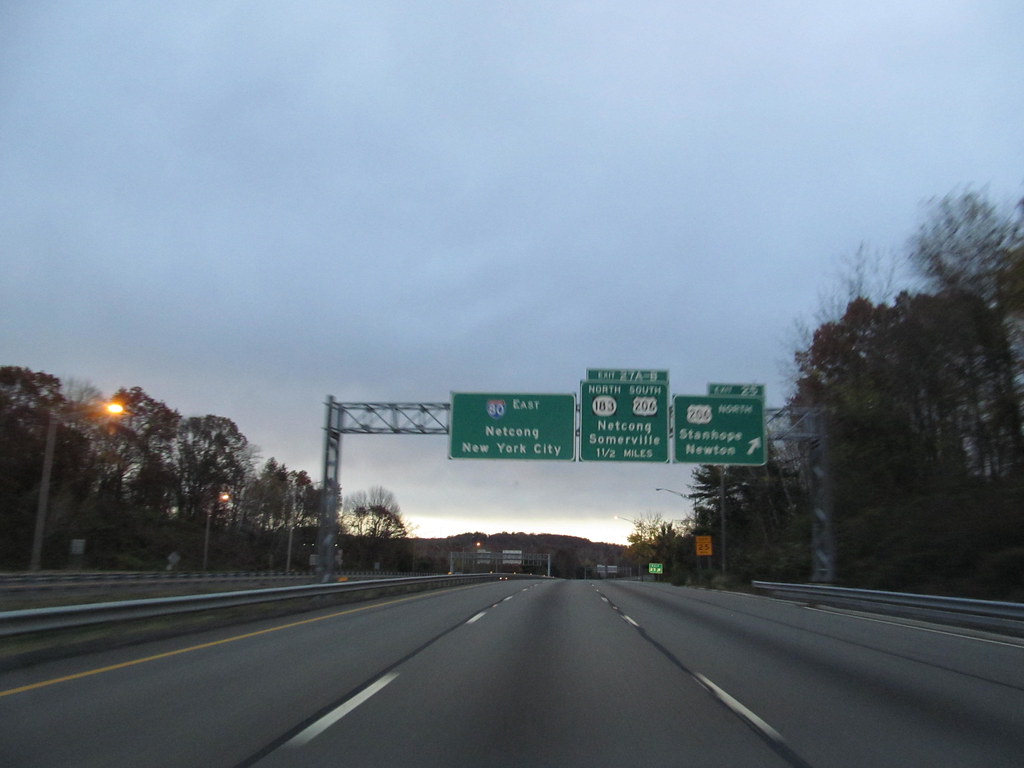
Interstate 80 (I-80) is a major interstate highway in the United States, running from San Francisco, California, eastward to the New York metropolitan area. In New Jersey, I-80 runs for 68.35 miles from the Delaware Water Gap Toll Bridge at the Pennsylvania state line to its eastern terminus at I-95 in Teaneck, Bergen County.
The highway runs parallel to U.S. Route 46 through rural areas of Warren and Sussex counties before heading into more suburban surroundings in Morris County. As the road continues into Passaic and Bergen counties, it heads into more urban areas. The New Jersey Department of Transportation identifies I-80 within the state as the Christopher Columbus Highway.
A freeway along the I-80 corridor had been planned in 1936 and again in 1955 to provide relief along US 46 between the George Washington Bridge and the Delaware Water Gap. The freeway was built across New Jersey in stages from the 1960s to 1973.
In the 1990s, high-occupancy vehicle lanes (HOV lanes) existed on a part of I-80 in Morris County, but they were opened to regular traffic because they were not used frequently. Today, I-80 serves as a vital transportation artery for commuters and travelers, connecting major cities and providing a crucial link between the East Coast and the Midwest.
Routes
Route 1

U.S. Route 1 (US 1) is a major highway that runs along the East Coast of the United States, stretching from Key West, Florida, to Fort Kent, Maine. In New Jersey, US 1 runs for 66.06 miles, entering the state from Pennsylvania on the Trenton-Morrisville Toll Bridge over the Delaware River in the state capital of Trenton.
From here, US 1 continues northeast as a surface-divided highway through suburban areas, passing through New Brunswick and Edison before merging with US 9 in Woodbridge. The two routes continue through northern New Jersey as US 1/9 to the George Washington Bridge over the Hudson River in Fort Lee, where the road continues into New York City along with I-95.
The current alignment of US 1 between Trenton and New Brunswick was chartered as the Trenton and New Brunswick Turnpike in 1803 and struggled throughout its 100-year existence. Today, US 1 serves as a vital transportation artery for commuters and travelers, connecting major cities and providing a crucial link between the East Coast and the rest of the country.
Route 9
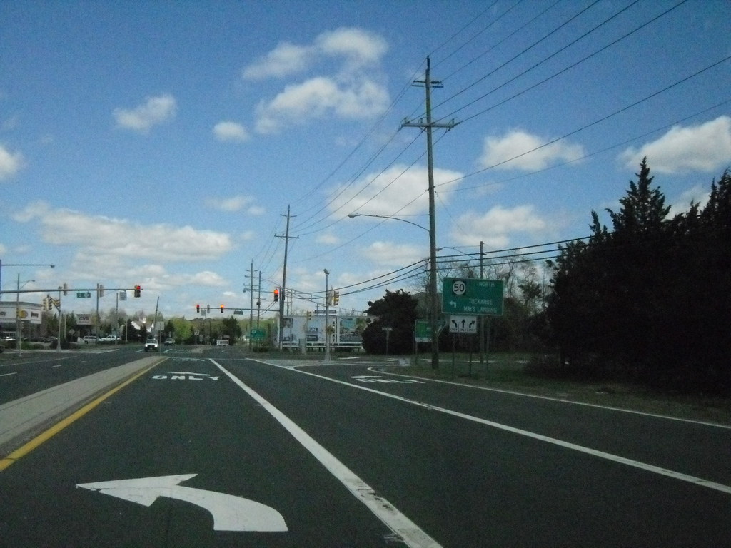
U.S. Route 9 (US 9) is a major highway that runs through the Mid-Atlantic United States, stretching from Laurel, Delaware, to Champlain, New York. In New Jersey, the route runs for 166.80 miles, making it the longest U.S. Highway in the state. US 9 enters New Jersey from the Cape May-Lewes Ferry terminal in North Cape May, Cape May County, where the ferry carries it across the Delaware Bay to Lewes, Delaware.
From there, the route heads north, passing through many towns and cities such as Rio Grande, Cape May Court House, Somers Point, Pleasantville, Absecon, Tuckerton, Manahawkin, Beachwood, Berkeley Township, Howell Township, Freehold Township, Manalapan Township, Marlboro Township, Old Bridge Township, Sayreville, and South Amboy before merging with US 1 in Woodbridge Township.
US 9 is mostly a two-lane undivided road that closely parallels the Garden State Parkway and runs near the Jersey Shore from North Cape May north to Toms River in Ocean County. Along this stretch, it passes through many popular beach towns and communities. US 9 serves as a key transportation channel for commuters and travelers, connecting major cities and providing a crucial link between the East Coast and the rest of the country.
Route 22

U.S. Route 22 (US 22) is a major highway that runs from Cincinnati, Ohio, to Newark, New Jersey. In New Jersey, the route runs for 60.53 miles, from the Easton-Phillipsburg Toll Bridge over the Delaware River in Phillipsburg, Warren County, to the Newark Airport Interchange in Newark, Essex County.
The road first heads through the Phillipsburg-Alpha area as a surface-divided highway before running concurrent with I-78 through mountainous and agricultural sections of western New Jersey between Alpha and east of Clinton in Hunterdon County. For the remainder of the route, US 22 runs to the south of I-78 through mostly suburban areas as a four- to six-lane surface divided highway, passing through Hunterdon, Somerset, Union, and Essex counties.
Along this portion, it intersects many major highways such as US 202 and US 206 in Somerville, I-287 in Bridgewater Township, and the Garden State Parkway in Union. What became US 22 in 1926 was first designated as Route 9 in 1916, running from Phillipsburg to Elizabeth.
Over the years, US 22 was moved to its current alignment, and in the 1960s, I-78 was constructed close to the US 22 corridor throughout New Jersey. Today, US 22 serves as a vital transportation artery for commuters and travelers, connecting major cities and providing a crucial link between the East Coast and the rest of the country.
Route 30
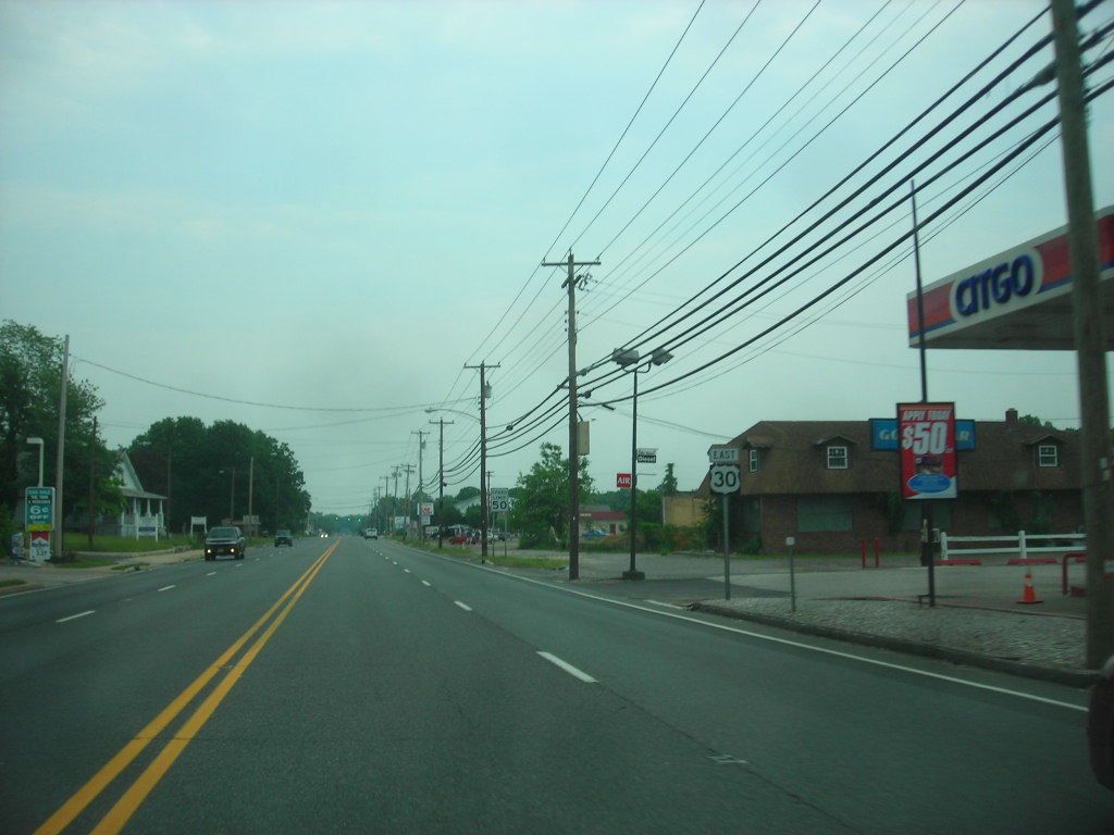
U.S. Route 30 (US 30) is a major highway that runs from Astoria, Oregon, to Atlantic City, New Jersey. In New Jersey, the route runs for 58.26 miles, from the Benjamin Franklin Bridge at the Delaware River in Camden, Camden County, while concurrent with Interstate 676 (I-676), southeast to Virginia Avenue in Atlantic City, Atlantic County. Most of the route in New Jersey is known as the White Horse Pike and is four lanes wide.
The road runs through mostly developed areas in Camden County, with surroundings becoming more rural as the road approaches Atlantic County. US 30 runs through several towns including Collingswood, Berlin, Hammonton, Egg Harbor City, and Absecon. The White Horse Pike, which US 30 follows, was chartered in 1854 to run from Camden to Stratford and eventually toward Atlantic City.
US 30 was designated in New Jersey in 1926 to connect Camden and Atlantic City via the White Horse Pike. Over the years, the state highway designations were changed, and in 1953, the state highway designations were removed from US 30.
A freeway was proposed for US 30 in Camden County during the late 1960s, running from Camden to Berlin, but it was never built. Today, US 30 serves as a vital transportation channel for commuters and travelers, connecting major cities and providing a crucial link between the East Coast and the rest of the country.
Route 40

U.S. Route 40 (US 40) is a major highway that runs from Silver Summit, Utah, to Atlantic City, New Jersey. The easternmost segment of the route runs 64.32 miles through the southern part of New Jersey between the Delaware Memorial Bridge over the Delaware River in Pennsville Township, Salem County, where it continues into Delaware along with Interstate 295 (I-295), east to Atlantic Avenue and Pacific Avenue in Atlantic City, Atlantic County.
The route passes through Salem, Gloucester, and Atlantic counties as well as the boroughs of Woodstown, Elmer, Newfield, and Buena. US 40 was signed along Route 18S in 1926, running from a ferry in Penns Grove that crossed the Delaware River to Wilmington, Delaware.
After the Delaware Memorial Bridge and the New Jersey Turnpike were both completed in 1951, US 40 was moved to its current alignment in the area. Today, US 40 serves as a chief transportation artery for commuters and travelers, connecting major cities and providing a crucial link between the East Coast and the rest of the country.
Although a toll freeway was once planned along the US 40 corridor in the 1980s to alleviate traffic, it was never built after it was deemed that the traffic volume was not high enough for it to be constructed.
Route 46
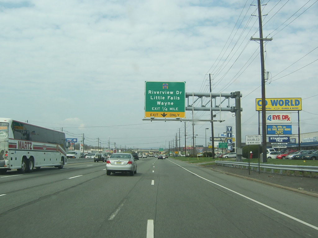
U.S. Route 46 (US 46) is a major highway that runs completely within the state of New Jersey, running for 75.34 miles. The west end is at an interchange with Interstate 80 (I-80) and Route 94 in Columbia, Warren County, on the Delaware River. The east end is in the middle of the George Washington Bridge over the Hudson River in Fort Lee, Bergen County, while the route is concurrent with I-95 and US 1-9.
Throughout much of its length, US 46 is closely paralleled by I-80. US 46 is a major local and suburban route, with some sections built to or near freeway standards and many other sections arterials with jughandles. The route runs through several communities in the northern part of New Jersey, including Hackettstown, Netcong, Dover, Parsippany-Troy Hills, Wayne, Clifton, Ridgefield Park, Palisades Park, and Fort Lee.
US 46 was originally designated as three separate routes, which were later combined into Route 6 in 1927. In 1936, US 46 was designated to run from US 611 in Portland, Pennsylvania, east to the George Washington Bridge.
Over the years, the route was realigned, and in 1965, US 611 was aligned back into its original Pennsylvania route, and US 46’s western terminus remained as an interchange ramp with I-80 and Route 94. Today, US 46 serves as a vital transportation artery for commuters and travelers, connecting major cities and providing a crucial link between the East Coast and the rest of the country.
Route 130
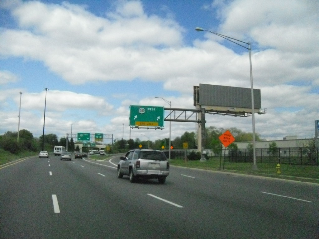
U.S. Route 130 (US 130) is a major highway that runs completely within the state of New Jersey. The route runs 83.46 miles from Interstate 295 (I-295) and US 40 at Deepwater in Pennsville Township, Salem County, where the road continues south as Route 49, north to US 1 in North Brunswick Township, Middlesex County, where Route 171 continues north into New Brunswick.
US 130 passes through many towns including Penns Grove, Bridgeport, Westville, Camden, Pennsauken, Burlington, Bordentown, Hightstown, and North Brunswick. The road runs within a close distance of I-295 south of Bordentown and a few miles from the New Jersey Turnpike for its entire length, serving as a major four- to six-lane divided local road for most of its length.
US 130 was originally designated as pre-1927 Route 2 in 1916, which ran along the present US 130 between the Camden area and Bordentown. Over the years, the route was realigned and extended, and in 1953, the state highways running concurrent with US 130 were removed.
Today, US 130 serves as a principal transportation channel for commuters and travelers, connecting major cities and providing a crucial link between the East Coast and the rest of the country. Although a US 130 freeway between Camden and Burlington was proposed by the Delaware Valley Regional Planning Commission, it was never built.
Route 202

U.S. Route 202 (US 202) is a major highway that runs from New Castle, Delaware northeast to Bangor, Maine. In the state of New Jersey, the route runs 80.31 miles from the New Hope–Lambertville Toll Bridge over the Delaware River at the Pennsylvania border in Delaware Township, Hunterdon County near Lambertville northeast to the New York border in Mahwah, Bergen County.
US 202 passes through a variety of suburban and rural environments, including the communities of Flemington, Somerville, Morristown, Parsippany-Troy Hills, Wayne, and Oakland as well as five counties: Hunterdon, Somerset, Morris, Passaic, and Bergen. The road ranges from a four-lane freeway between Lambertville and Ringoes in Hunterdon County to a two-lane undivided road through much of the northern portion of the route.
From Somerville to the New York border, US 202 generally runs within a close distance of I-287 and interchanges with that route several times. The road encounters many major roads in New Jersey, including Route 31, US 206, US 22, I-80, US 46, Route 23, and Route 17.
US 202 was originally designated as pre-1927 Route 5 between Morristown and Morris Plains in 1916 and as pre-1927 Route 16 between Somerville and Morristown in 1921. In 1934, US 122 was renumbered to US 202 and realigned to follow its current route to the New York border near Suffern.
In the 1960s, plans were made to upgrade US 202 to a freeway between the Pennsylvania border and I-287 in Bridgewater Township, but only parts of this freeway were completed. Today, US 202 serves as a vital transportation artery for commuters and travelers, connecting major cities and providing a crucial link between the East Coast and the rest of the country.
Route 206

US 206 is a major highway that begins at US 30 in the town of Hammonton in Atlantic County, New Jersey, and heads north-northeast on the two-lane, undivided Disabled American Veterans Highway. The road passes through farmland, which eventually gives way to the heavily forested Pine Barrens, where it continues through the Wharton State Forest.
In Shamong Township, the road makes a turn to the north and crosses an abandoned railroad line before it passes by Atsion Lake. After running northwest, CR 541 splits to the left. US 206 heads north out of Wharton State Forest and into more agricultural areas. The route becomes a three-lane road with one northbound lane and two southbound lanes as it comes to the Red Lion Circle with Route 70.
Past the Red Lion Circle, the route becomes two lanes again and passes more rural surroundings with some development. US 206 comes to a junction with the eastern terminus of Route 38 and the western terminus of CR 530. US 206 serves as a vital transportation artery for commuters and travelers, connecting major cities and providing a crucial link between the East Coast and the rest of the country.
Route 322

U.S. Route 322 (US 322) is a major highway that runs from Cleveland, Ohio, east to Atlantic City, New Jersey. The easternmost segment of the route in New Jersey runs 62.64 miles from the Commodore Barry Bridge over the Delaware River in Logan Township, Gloucester County, where it continues southeast to Atlantic Avenue and Pacific Avenue in Atlantic City, Atlantic County.
The portion of the route between the Commodore Barry Bridge and Route 42 in Williamstown is mostly a two-lane undivided road that is concurrently signed with County Route 536 (CR 536), passing through Mullica Hill and Glassboro. From Williamstown, US 322 follows the Black Horse Pike, a four-lane road, southeast to Atlantic City.
In Hamilton Township, Atlantic County, US 322 forms a concurrency with U.S. Route 40, continuing with that route all the way to Atlantic City. US 322 intersects several major roads including U.S. Route 130 and Interstate 295 (I-295) in Logan Township, the New Jersey Turnpike in Woolwich Township, Route 55 in Harrison Township, Route 42 in Williamstown, Route 50 and U.S. Route 40 in Hamilton Township, the Garden State Parkway in Egg Harbor Township, and U.S. Route 9 in Pleasantville.
US 322 is a vital transportation artery for commuters and travelers, connecting major cities and providing a crucial link between the East Coast and the rest of the country. Despite several proposals for freeway construction, the route remains mostly a mix of two-lane and four-lane roads, with a bypass of Mullica Hill completed in 2012 to relieve traffic through that town.

