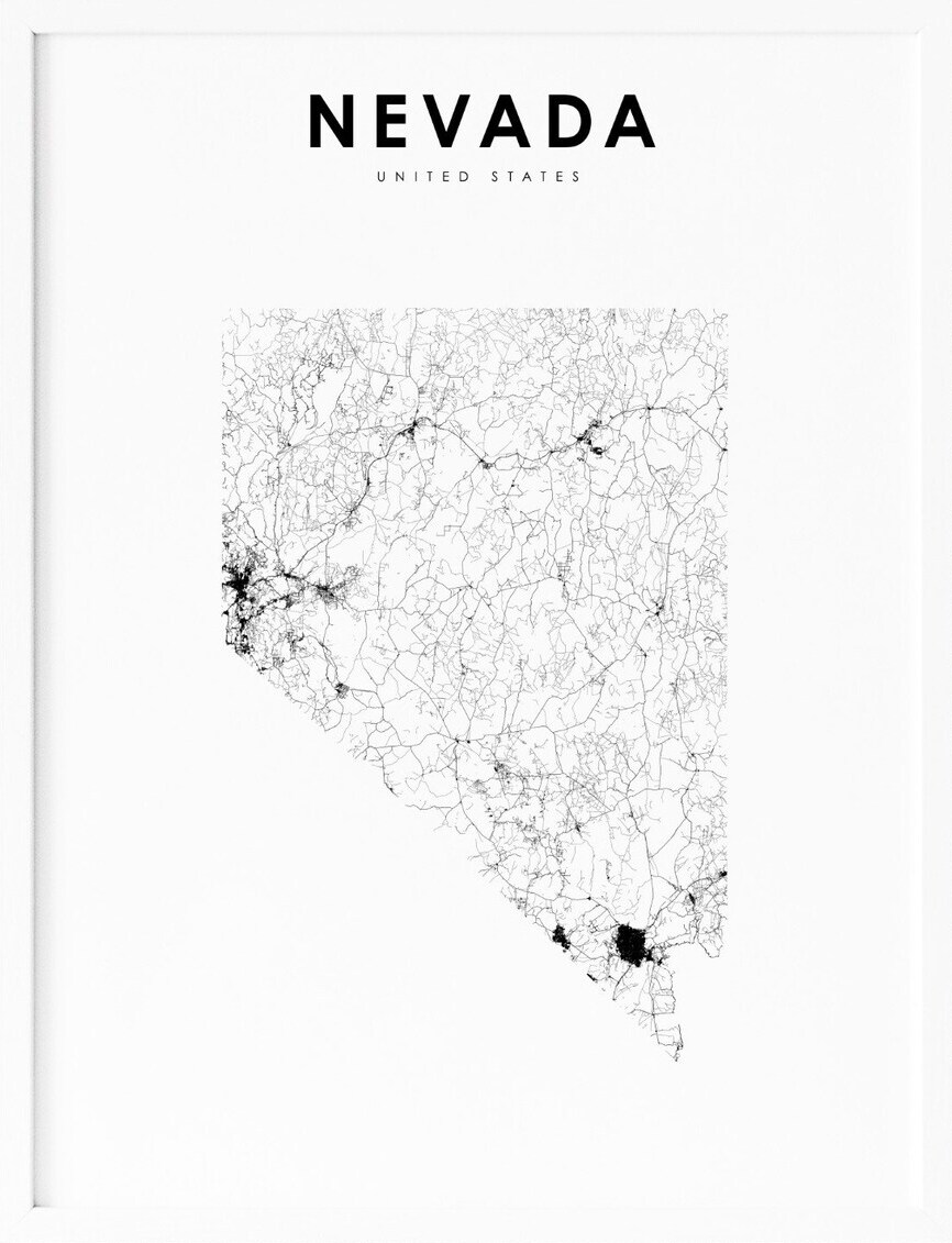
Nevada, located in the western region of the United States, is a state known for its stunning natural beauty, vibrant culture, and world-renowned entertainment. With its towering mountains, expansive deserts, and bustling urban centers, Nevada offers a unique blend of outdoor adventure and cultural experiences. To help visitors and residents navigate this beautiful state, we have created a detailed map of Nevada with cities and highways.
This map highlights Nevada’s major cities, including Las Vegas, Reno, Carson City, and Henderson, as well as its primary highways and roads. Whether you’re planning a road trip or simply want to explore Nevada’s unique landscape and culture, this map is an essential tool. So, grab your map and get ready to discover all that Nevada has to offer, from its world-renowned casinos to its stunning national parks and everything in between.
Printable Nevada Map With Cities and Highways
Cities
Las Vegas
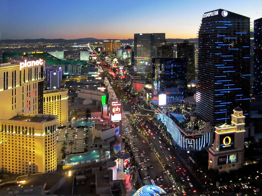
Las Vegas, also known as Vegas, is the 25th-most populous city in the United States, the most populous city in the state of Nevada, and the county seat of Clark County. The Las Vegas Valley metropolitan area is the largest within the greater Mojave Desert, and the second-largest in the Southwestern United States.
Las Vegas is internationally renowned as a major resort city, famous for its gambling, shopping, fine dining, entertainment, and nightlife. It is also the leading financial, commercial, and cultural center for Nevada. The city is home to luxurious and extremely large casino hotels and is the sixth-most visited city in the U.S. Las Vegas annually ranks as one of the world’s most visited tourist destinations and is a top-three destination in the U.S. for business conventions.
It is also a global leader in the hospitality industry, claiming more AAA Five Diamond hotels than any other city in the world. The city’s tolerance for numerous forms of adult entertainment earned it the nickname “Sin City”. Las Vegas was officially incorporated in 1911 and has experienced rapid population growth since the 1960s. The city had 641,903 residents in 2020, with a metropolitan population of 2,227,053.
Henderson

Henderson is a city in Clark County, Nevada, located approximately 16 miles southeast of downtown Las Vegas. It is the second-largest city in Nevada, after Las Vegas, with an estimated population of 320,189 in 2019. The city is part of the Las Vegas Valley and occupies the southeastern end of the valley, at an elevation of 1,864 feet.
Henderson played a significant role in supplying magnesium during World War II, and after the decline of magnesium production, the Nevada legislature approved a bill that gave Nevada’s Colorado River Commission the authority to purchase the industrial plants. Henderson was incorporated in 1953 and has since become a thriving community with a diverse economy.
The city is known for its outdoor recreation opportunities, including hiking and biking trails, golf courses, and parks. Henderson is also home to Lake Las Vegas, a man-made lake that offers a range of water activities, including boating and fishing. Overall, Henderson is a vibrant and growing city that offers residents and visitors a high quality of life and a range of amenities and attractions to enjoy.
Reno
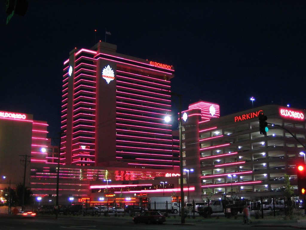
Reno is a city located in the northwest section of the U.S. state of Nevada, along the Nevada-California border, about 22 miles north of Lake Tahoe. Known as “The Biggest Little City in the World”, Reno is the county seat and most populous city of Washoe County. It sits in the High Eastern Sierra foothills, in the Truckee River valley, on the eastern side of the Sierra Nevada.
Reno is named after Civil War Union Major General Jesse L. Reno, who was killed in action during the American Civil War at the Battle of South Mountain, on Fox’s Gap. The city is known for its casino and tourism industry and is part of the Reno-Sparks metropolitan area, the second-most populous metropolitan area in Nevada after the Las Vegas Valley.
The Reno metro area includes Washoe, Storey, and Lyon counties, the independent city and state capital, Carson City, as well as parts of Placer and Nevada Counties in California. The city proper had a population of 264,165 at the 2020 census, making it the third-largest city in Nevada, behind Las Vegas and Henderson.
Enterprise
Enterprise is an unincorporated town located in the Las Vegas Valley in Clark County, Nevada, United States. The town was founded on December 17, 1996, and has since experienced significant population growth. According to the 2020 U.S. census, the population of Enterprise was 221,831, up from 14,676 at the 2000 census.
Like other unincorporated towns in the Las Vegas Valley, Enterprise uses Las Vegas ZIP codes for addresses within its boundaries. The town is home to a diverse population and offers a range of amenities and attractions, including parks, shopping centers, and restaurants.
Enterprise is also located in close proximity to popular Las Vegas attractions, such as the Las Vegas Strip and Red Rock Canyon National Conservation Area. Overall, Enterprise is a bustling community that continues to grow and attract new residents and visitors to the Las Vegas Valley.
Spring Valley
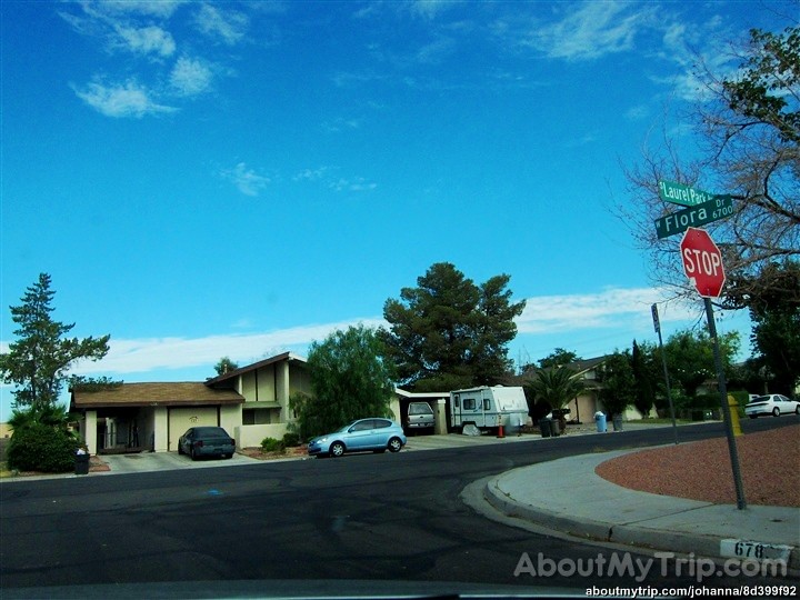
Spring Valley is an unincorporated town and census-designated place located 2 miles west of the Las Vegas Strip in Clark County, Nevada, United States. The town was formed in May 1981 and has since become a thriving community with a diverse population.
According to the 2020 census, the population of Spring Valley was 215,597, making it one of the most populous unincorporated towns in the Las Vegas Valley. Spring Valley offers a range of amenities and attractions, including parks, shopping centers, and restaurants.
The town is also located in close proximity to popular Las Vegas attractions, such as the Las Vegas Strip and Red Rock Canyon National Conservation Area. Overall, Spring Valley is a burgeoning community that continues to draw in new people from all across the area.
Sunrise Manor
Sunrise Manor is a census-designated place located on the western base of Frenchman Mountain, east of Las Vegas in Clark County, Nevada, United States. The town was formed in May 1957 and has since become a thriving community with a varied population. According to the 2020 census, the population of Sunrise Manor was 205,618, making it one of the largest census-designated places in the Las Vegas Valley.
If Sunrise Manor were to be incorporated, it would be one of the largest cities in Nevada. Sunrise Manor offers a range of amenities and attractions, including parks, shopping centers, and restaurants.
The town is also located in close proximity to popular Las Vegas attractions, such as the Las Vegas Strip and Red Rock Canyon National Conservation Area. Overall, Sunrise Manor is a welcoming community with plenty of attractions in store for visitors and residents.
Paradise
Paradise is an unincorporated town and census-designated place (CDP) located adjacent to the city of Las Vegas in Clark County, Nevada, United States. The town was formed on December 8, 1950, and has since become a marvelous community with a friendly population. According to the 2020 census, the population of Paradise was 191,238, making it the fifth-most-populous CDP in the United States.
If it were an incorporated city, it would be the fifth-largest in Nevada. As an unincorporated town, Paradise is governed by the Clark County Commission with input from the Paradise Town Advisory Board.
The town is home to a range of amenities and attractions, including Harry Reid International Airport, the University of Nevada, Las Vegas (UNLV), most of the Las Vegas Strip, and most of the tourist attractions in the Las Vegas area (excluding downtown).
Sparks
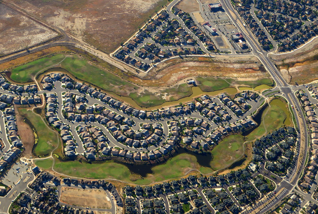
Sparks is a city located just east of Reno in Washoe County, Nevada, United States. The city was founded in 1904 and incorporated on March 15, 1905. It is named after John Sparks, Nevada Governor (1903-1908), and a member of the Silver Party. According to the 2020 U.S. Census, Sparks had a population of 108,445, making it the fifth most populous city in Nevada.
Sparks is located within the Reno-Sparks metropolitan area, which is the second-most populous metropolitan area in Nevada after the Las Vegas Valley. The city is home to a range of amenities and attractions, including parks, museums, and shopping centers.
It is also located in close proximity to popular outdoor recreation areas, such as Lake Tahoe and the Sierra Nevada mountains. Overall, Sparks is a fascinating city that offers residents and visitors a high quality of life and a range of opportunities to explore and enjoy the beauty of northern Nevada.
Carson City
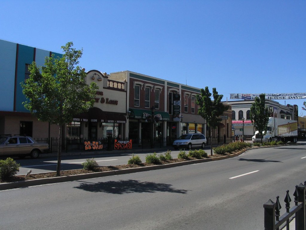
Carson City is an independent city and the capital of the U.S. state of Nevada. The city has a population of 58,639, making it the sixth-largest city in the state, according to the 2020 census. The majority of the city’s population lives in Eagle Valley, on the eastern edge of the Carson Range, a branch of the Sierra Nevada, about 30 miles south of Reno. Carson City is named after the mountain man Kit Carson and began as a stopover for California-bound immigrants.
However, it developed into a city with the Comstock Lode, a silver strike in the mountains to the northeast. The city has served as Nevada’s capital since statehood in 1864 and was a hub for the Virginia and Truckee Railroad for much of its history, although the tracks were removed in 1950.
Before 1969, Carson City was the county seat of Ormsby County. That year, the state legislature abolished the county and included its territory in a revised city charter for a Consolidated Municipality of Carson City. With the consolidation, the city limits extend west across the Sierra Nevada to the California state line in the middle of Lake Tahoe. Like other independent cities in the United States, it is treated as a county-equivalent for census purposes.
Whitney
Whitney is an unincorporated town and census-designated place located in Clark County, Nevada, United States. Formerly known as East Las Vegas, Whitney is a thriving community with a diverse population. According to the 2010 census, the population of Whitney was 38,585.
The town is home to a range of amenities and attractions, including parks, shopping centers, and restaurants. Whitney is also located in close proximity to popular Las Vegas attractions, such as the Las Vegas Strip and Red Rock Canyon National Conservation Area. Overall, Whitney is a growing community that continues to attract new residents and visitors to the Las Vegas Valley.
Pahrump
Pahrump is an unincorporated town located at the southernmost tip of Nye County, Nevada, United States. The town is situated about 62 miles west of Las Vegas and lies adjacent to the Nevada-California border. According to the 2020 census, the population of Pahrump was 44,738, making it one of the largest unincorporated towns in Nevada.
Pahrump offers a range of amenities and attractions, including parks, golf courses, and wineries. The town is also located in close proximity to popular outdoor recreation areas, such as the Spring Mountains National Recreation Area and Death Valley National Park.
Winchester
Winchester is an unincorporated town and census-designated place (CDP) located in Clark County, Nevada, United States. The town contains part of the Las Vegas Strip and is one of a number of CDPs in the unincorporated urbanized area directly south of Las Vegas. According to the 2020 census, the population of Winchester was 36,403.
Winchester is governed by the Clark County Commission with advice from the Winchester Town Advisory Board. It is important to note that “Winchester, NV” does not appear in postal addresses, as the United States Postal Service has assigned “Las Vegas, NV” as the place name for the ZIP codes containing Winchester.
Winchester offers a range of amenities and attractions, including shopping centers, restaurants, and entertainment venues. It is also located in close proximity to popular Las Vegas attractions, such as the Las Vegas Strip and Red Rock Canyon National Conservation Area. Overall, Winchester is a wonderful place attracting residents from far and wide.
Summerlin South
Summerlin South, also known as South Summerlin, is a census-designated place (CDP) located on the western edge of the Las Vegas Valley in Clark County, Nevada, United States. The town is adjacent to the Red Rock Canyon National Conservation Area and is named after the master-planned community of Summerlin, of which it is a southward extension.
According to the 2010 census, the population of Summerlin South was 24,085, and nearly all of the town is in ZIP code 89135. The Summerlin South Community Association serves as the main governmental entity for the area, acting as a homeowners association for the entire community.
Summerlin South is considered to be one of the most prestigious neighborhoods in the Las Vegas Valley, with The Ridges being a notable guard-gated community consisting of custom and semi-custom homes in southwest Summerlin. The average home price in The Ridges is over $2,000,000, making it one of the most exclusive neighborhoods in the Las Vegas Valley.
Overall, Summerlin South offers a high quality of life and a range of amenities and attractions, including parks, shopping centers, and restaurants, all within close proximity to the stunning natural beauty of Red Rock Canyon.
Fernley

Fernley is a city located in Lyon County, Nevada, United States, and is part of the Reno-Tahoe-Sparks metropolitan area CSA. The city was incorporated in 2001 and has a population of 19,368 according to the 2010 census. Fernley has a rich history and is home to a number of notable attractions and landmarks.
The city was home to one of the first Amazon.com centers in the world, although it has since relocated within the metro area. Naval Air Station (TOPGUN), the U.S. Navy’s Naval Strike and Air Warfare Center & TOPGUN training program since 1996, was moved nearby to Fallon from Naval Air Station Miramar.
Fernley is also home to the Reno-Fernley Raceway, which hosts a range of motorsports events throughout the year. The city is also home to the world’s first Tesla Gigafactory 1, which produces battery packs, energy storage, and electric vehicle components nearby at the Tahoe Reno Industrial Center.
Additionally, an under-construction lithium processing plant is set to further bolster the city’s economic growth. Overall, Fernley is a thriving community that offers residents and visitors a range of amenities and attractions to enjoy.
Sun Valley
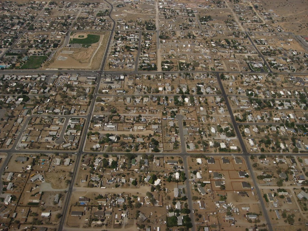
Sun Valley is a census-designated place (CDP) located in Washoe County, Nevada, United States. The town is situated north of Reno and is part of the Reno-Sparks Metropolitan Statistical Area. According to the 2010 census, the population of Sun Valley was 19,299.
The town offers a range of amenities and attractions, including parks, shopping centers, and restaurants. It is also located in close proximity to popular outdoor recreation areas, such as the Sierra Nevada mountains and Lake Tahoe. Overall, Sun Valley is a growing community that continues to offer a high standard of living in northern Nevada.
Mesquite
Mesquite is a city located in Clark County, Nevada, United States, adjacent to the Arizona state line and 80 miles northeast of Las Vegas on Interstate 15. According to the 2020 census, the population of Mesquite was 20,471. The city is situated in the Virgin River valley adjacent to the Virgin Mountains in the northeastern part of the Mojave Desert.
Mesquite is home to a growing retirement community, with many retirees attracted to the city’s warm climate and low cost of living. The city is also home to several casino resorts and golf courses, making it a popular destination for visitors seeking entertainment and recreation. Overall, Mesquite is a bustling community set against the dazzling natural beauty of the Mojave Desert.
Elko

Elko, also known as Natakkoa in Shoshoni, is the largest city and county seat of Elko County, Nevada, United States. With a population of 20,564 as of 2020, Elko is currently growing at a rate of 0.31% annually and its population has increased by 11.86% since the 2010 Census, which recorded a population of 18,297. The city serves as the economic hub of the Ruby Valley, a region with a population of over 55,000.
Elko is located 21 miles from Lamoille Canyon and the Ruby Mountains, which are dubbed the Swiss Alps of Nevada, providing year-round access to recreation, including hiking, skiing, hunting, and more than 20 alpine lakes. The city straddles the Humboldt River, and Spring Creek, Nevada, serves as a bedroom community located six miles from the city, with a population of 13,805.
Elko is the principal city of the Elko Micropolitan Statistical Area, which covers Elko and Eureka counties. It is also home to Great Basin College and the National Weather Service Weather Forecast Office, serving most of northern and central Nevada. Overall, Elko is a growing city that offers residents and visitors a range of recreational opportunities and amenities, all set against the amazing landscapes of the Ruby Mountains.
Spanish Springs
Spanish Springs is a census-designated place (CDP) located in Washoe County, Nevada, United States. The town is situated in the northeastern part of the Reno-Sparks Metropolitan Statistical Area. According to the 2010 census, the population of Spanish Springs was 15,064.
The town offers a range of amenities and attractions, including parks, shopping centers, and restaurants. It is also located in close proximity to popular outdoor recreation areas, such as the Sierra Nevada mountains and Pyramid Lake. Overall, Spanish Springs is a welcoming community that continues to draw in new residents and visitors seeking a high quality of life in northern Nevada.
Spring Creek
Spring Creek is a census-designated place (CDP) located in central Elko County, in northeastern Nevada, United States. The town mainly serves as a bedroom community for businesses and industries in and around the nearby city of Elko. It is part of the Elko Micropolitan Statistical Area. According to the 2010 census, the population of Spring Creek was 12,361.
The town offers a range of amenities and attractions, including parks, shopping centers, and restaurants. It is also located in close proximity to popular outdoor recreation areas, such as the Ruby Mountains and Lamoille Canyon. Overall, Spring Creek is a fulfilling community that continues to pull in people seeking a high standard of living in northeastern Nevada.
Dayton

Dayton is an unincorporated community and census-designated place (CDP) located in Lyon County, Nevada, United States. According to the 2020 census, the population of Dayton was 15,153. The town is steeped in history and is the second oldest settlement in Nevada. It is also home to the oldest hotel in the state, providing a glimpse into Nevada’s rich past.
Dayton offers a range of amenities and attractions, including parks, shopping centers, and restaurants. It is also located in close proximity to popular outdoor recreation areas, such as the Dayton State Park and the nearby Virginia City, a historic mining town.
Boulder City
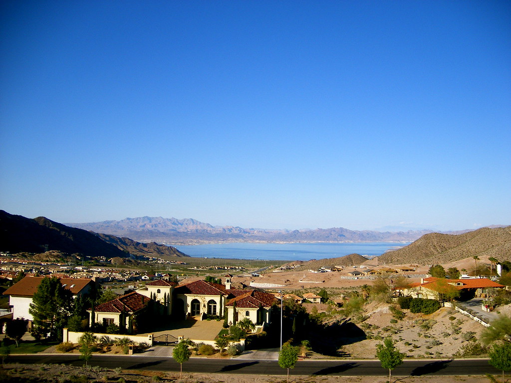
Boulder City is a city located in Clark County, Nevada, United States, approximately 26 miles southeast of Las Vegas. As of the 2020 census, the population of Boulder City was 14,885. The city took its name from Boulder Canyon, and it is known for its sweeping natural scenes and outdoor recreational opportunities.
Boulder City is one of only two places in Nevada that prohibits gambling, the other being the town of Panaca. Despite this, the city offers a range of amenities and attractions, including parks, museums, and historical sites. One of the most popular attractions in Boulder City is the Hoover Dam, which is located just a few miles from the city center.
Overall, Boulder City is a distinctive and characterful community that offers residents a range of recreational opportunities, set against the impressive backdrop of the Nevada desert.
Gardnerville Ranchos
Gardnerville Ranchos is a census-designated place located in Douglas County, Nevada, United States. According to the 2010 census, the population of Gardnerville Ranchos was 11,312. The area is the namesake for the Gardnerville Ranchos Micropolitan Statistical Area, which includes other areas of Douglas County.
The town offers a range of amenities and attractions, including parks, shopping centers, and restaurants. It is also located in close proximity to popular outdoor recreation areas, such as Lake Tahoe and the Sierra Nevada mountains. Overall, Gardnerville Ranchos is a flourishing community offering a high quality of life in the midst of the gorgeous natural beauty of northern Nevada.
Cold Springs

Cold Springs is a census-designated place (CDP) located in Washoe County, Nevada, United States. It is known as Eitse’ihpaa or Eitse’ippaa, which means “cold water” or “cold spring” in Shoshoni. The town is situated just off U.S. Route 395 in the northwestern part of the Reno-Sparks Metropolitan Statistical Area, adjacent to the California state line.
According to the 2010 census, the population of Cold Springs was 8,544. The town offers a range of amenities and attractions, including parks, shopping centers, and restaurants. It is also located in close proximity to popular outdoor recreation areas, such as the Sierra Nevada mountains and Pyramid Lake.
Fallon
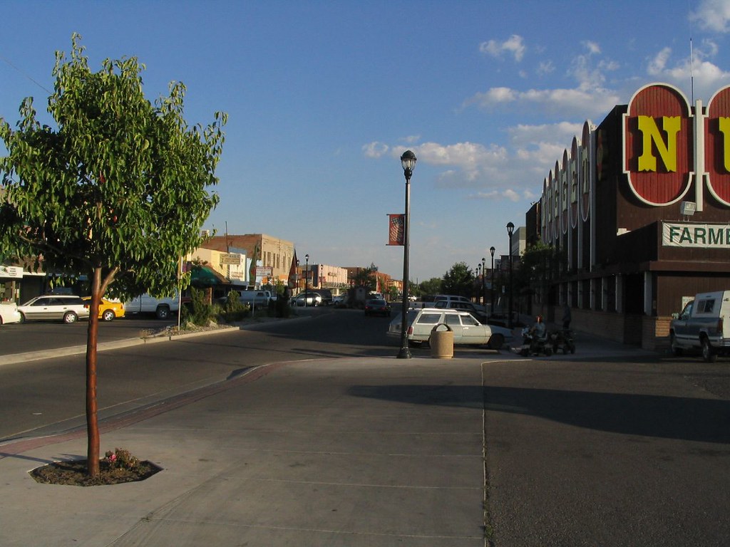
Fallon is a city located in Churchill County, Nevada, United States. According to the 2020 census, the population of Fallon was 9,327. The town serves as the county seat of Churchill County and is located in the Lahontan Valley, an area known for its fertile agricultural land and dramatic geographical beauty.
Fallon offers a range of amenities and attractions, including parks, museums, and historical sites. One of the most popular attractions in Fallon is the Churchill County Museum and Archives, which features exhibits on the history and culture of the area.
The town is also located in close proximity to popular outdoor recreation areas, such as the Lahontan Reservoir and the nearby Toiyabe National Forest. Overall, Fallon is a charming community that offers locals and tourists a wonderful blend of history, culture, and natural beauty in an inspirational natural setting.
Incline Village

Incline Village is a census-designated place (CDP) located on the north shore of Lake Tahoe in Washoe County, Nevada, United States. According to the 2010 census, the population of Incline Village was 8,777.
The town is part of the Reno-Sparks Metropolitan Statistical Area and is known for its stunning natural beauty and outdoor recreational opportunities. Incline Village is home to Sierra Nevada University’s main campus, offering students a marvelous learning experience in a beautiful mountain setting.
The town also boasts some of the most expensive real estate in the United States, with many homes offering stunning views of Lake Tahoe and the surrounding Sierra Nevada mountains. Overall, Incline Village is a charming community that offers residents and visitors a unique blend of natural beauty, culture, and education, all set against the stunning backdrop of Lake Tahoe.
Winnemucca

Winnemucca is the only incorporated city in, and is the county seat of, Humboldt County, Nevada, United States. According to the 2020 census, the city had a total population of 8,431, representing a 14.0 percent increase from the 2010 census figure of 7,396. Winnemucca is located along Interstate 80, which passes through the city and meets U.S. Route 95.
The town offers a range of amenities and attractions, including parks, museums, and historical sites. One of the most popular attractions in Winnemucca is the Humboldt Museum, which features exhibits on the history and culture of the area.
The town is also located in close proximity to popular outdoor recreation areas, such as the nearby Sonoma Range and the Winnemucca Lake. Overall, Winnemucca is a beguiling community that offers residents and visitors an amazing combination of history, culture, and natural beauty, set within the environment of the Nevada desert.
Laughlin
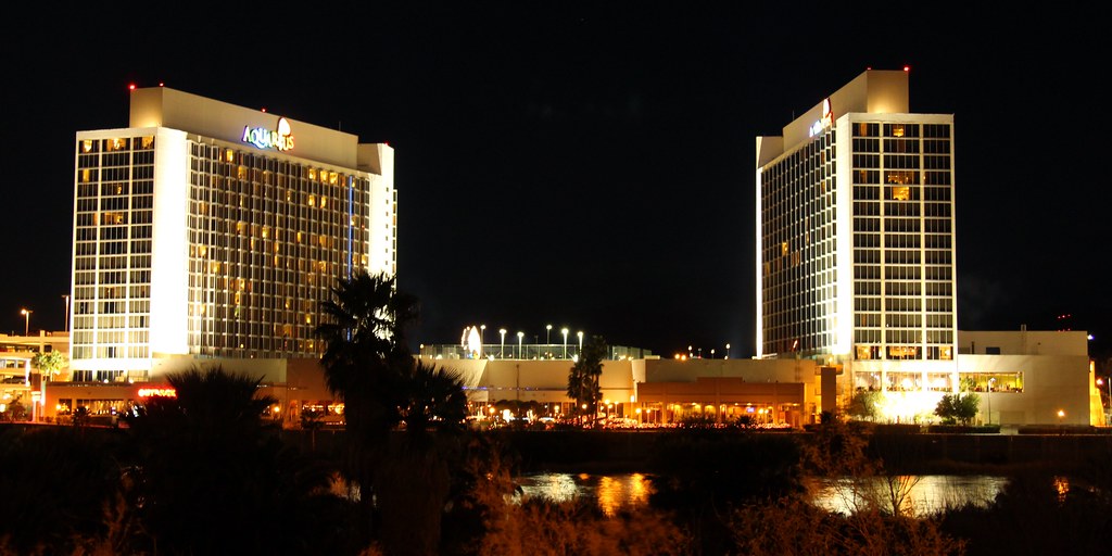
Laughlin is an unincorporated community located in Clark County, Nevada, United States. The town is situated 90 miles south of Las Vegas, in the far southern tip of Nevada. As a resort town, Laughlin is known for its gaming and water recreation, with many visitors coming to enjoy the Colorado River and nearby Lake Mohave.
According to the 2020 census, the population of Laughlin was 8,658. The town is located on the Colorado River, downstream from the Davis Dam and Lake Mohave, and directly across from the much larger Bullhead City, Arizona. The nearby communities of Bullhead City, Arizona; Needles, California; Fort Mohave, Arizona; and Mohave Valley, Arizona, bring the area’s total population to about 100,000.
Laughlin was named for Don Laughlin, who purchased the southern tip of Nevada in 1964 and opened what would become the Riverside Resort. Despite its relatively small size, Laughlin offers a range of amenities and attractions, including casinos, restaurants, and shopping centers.
Moapa Valley
Moapa Valley is an unincorporated town located in Clark County, Nevada, United States. According to the 2010 census, the population of Moapa Valley was 6,924. The town is situated in the valley of the same name, which is approximately 40 miles long and runs roughly northwest to southeast.
Moapa Valley is known for its astounding natural geographical attractions and outdoor recreational opportunities, including hiking, camping, and fishing. The area is also home to several popular attractions, including the Valley of Fire State Park, which features expansive red sandstone formations and ancient petroglyphs.
The town offers a range of amenities and attractions, including parks, shopping centers, and restaurants. Overall, Moapa Valley is a characterful community that offers residents and visitors an intoxicating blend of nature, culture, and heritage, all set against the backdrop of the Nevada desert.
Johnson Lane

Johnson Lane is a census-designated place (CDP) located on the south side of the Carson City metropolitan area in Douglas County, Nevada, United States. According to the 2010 census, the population of Johnson Lane was 6,490. The town is known for its stunning natural beauty and outdoor recreational opportunities, including hiking, camping, and fishing.
The area is also home to several popular attractions, including the nearby Lake Tahoe and the Sierra Nevada mountains. Johnson Lane offers a range of amenities and attractions, including parks, shopping centers, and restaurants, which combine with its wonderful culture and heritage to make it an unmissable choice for locals and visitors.
Highways
Route 6

U.S. Route 6 (US 6) is a major highway that crosses the center of Nevada, stretching from Bishop, California, to Provincetown, Massachusetts. The Nevada portion of the highway passes through several cities, including Tonopah and Ely, before continuing on to Utah and points further east. The route is known for its diverse scenery, including desert, mountain ranges, valleys, and ghost towns.
US 6 is part of the Grand Army of the Republic Highway and has also been named the Theodore Roosevelt Highway, after the 26th U.S. president. The highway is considered to be equally deserving of the title “The Loneliest Road in America” as US 50 due to its route through desolate areas. Despite being extended into Nevada in 1937, the route has remained largely unchanged, except for a realignment to enter Utah north of Baker.
Route 50
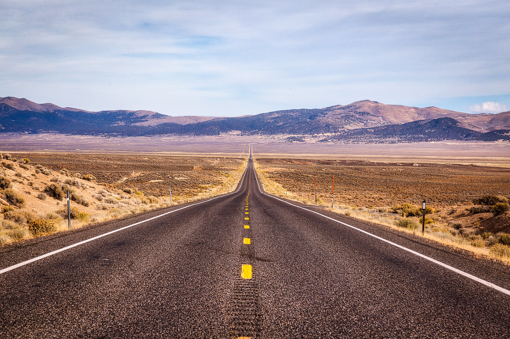
U.S. Route 50 (US 50) is a transcontinental highway that crosses the center of Nevada, stretching from West Sacramento, California, to Ocean City, Maryland. The Nevada portion of the highway was famously named “The Loneliest Road in America” by Life magazine in July 1986. Despite being intended as a pejorative, Nevada officials seized the name as a marketing slogan.
The highway traverses large desolate areas with few signs of civilization, crossing several desert valleys separated by mountain ranges in the Basin and Range province of the Great Basin. US 50 offers a diverse route through the state, passing through resort communities like Lake Tahoe, the state capital in Carson City, historical sites such as Fort Churchill State Historic Park, petroglyphs, alpine forests, desert valleys, ghost towns, and Great Basin National Park.
The route was constructed over a historic corridor, initially used for the Pony Express and Central Overland Route, and later for the Lincoln Highway. The routing east of Ely has changed significantly due to a rivalry between Nevada and Utah over which transcontinental route was better to serve California-bound traffic, the Lincoln Highway or the Victory Highway.
Route 93
U.S. Route 93 (US 93) is a major highway that traverses the eastern edge of Nevada, connecting the Las Vegas area to the Great Basin National Park and providing further connections to Ely and Wells. The highway is an important route for travelers seeking to connect the major metropolitan areas of Las Vegas and Phoenix to the Boise, Idaho metropolitan area.
US 93 provides the majority of the most direct connection from Las Vegas and Phoenix to Boise, with a final connection to Phoenix via US 60 and to Boise via Interstate 84 from Twin Falls, Idaho.
The route offers stunning views of the Nevada desert and passes through several towns and cities, including Boulder City and Kingman. Overall, US 93 is a vital transportation artery for the region, linking major population centers and providing access to some of Nevada’s most stunning natural attractions.
Route 95

U.S. Route 95 (US 95) is a major highway that traverses the state of Nevada from north to south, passing directly through Las Vegas and providing connections to both Carson City (via US 50) and Reno (via Interstate 80). At 646.71 miles, it is the longest highway in Nevada.
US 95 is cosigned with Interstate 80 for 95 miles between Trinity and Winnemucca before heading north into Oregon at McDermitt. Along much of its course through Nevada, US 95 has signs designating it as the Veterans Memorial Highway.
In Las Vegas, a portion of the route northwest of downtown is also known as the Oran K. Gragson Freeway, named for the Las Vegas mayor who advocated for its construction in the 1960s. Overall, US 95 is a key transportation artery for the state, connecting major population centers and providing access to some of Nevada’s most expansive natural attractions.
Route 95A

U.S. Route 95 Alternate (US 95 Alt.), also known as US 95A, is an alternate route of U.S. Route 95 located in the western part of Nevada. The highway connects Schurz to Interstate 80 via the cities of Yerington and Fernley. US 95 Alt. is one of three routes in Nevada that has existed as an alternative to US 95.
The route offers dramatic views of the Nevada desert and passes through several small towns and cities, including the historic mining town of Yerington. Overall, US 95 Alt. provides a chief transportation link for the western part of the state, connecting communities and providing access to major highways and population centers.
Route 395
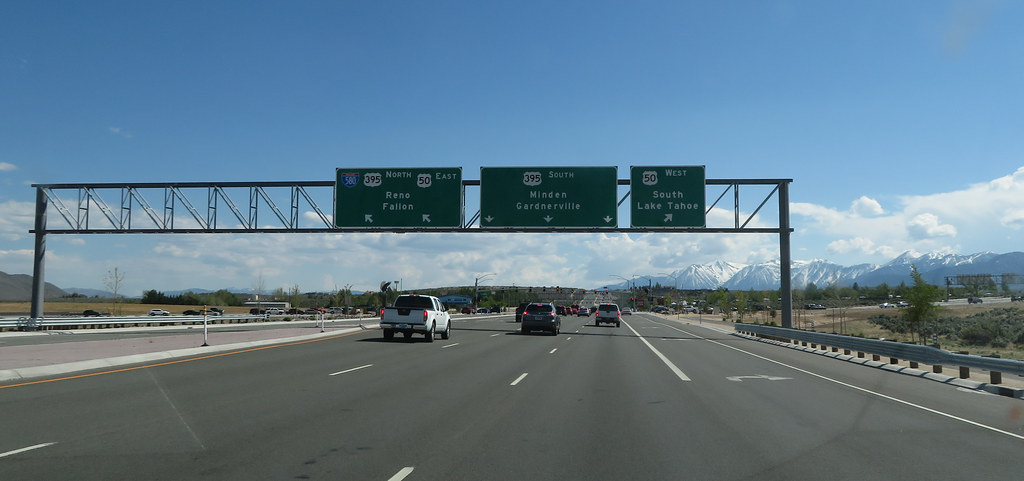
U.S. Route 395 (US 395) is an important 85-mile-long highway near Lake Tahoe in Nevada, traversing the state after entering from California in Topaz Lake and crossing back into California near Hallelujah Junction. The highway serves several major cities in Nevada, including Gardnerville, Minden, Carson City, and Reno.
US 395 is a freeway north of Carson City and is built up to Interstate Highway standards. Part of the freeway section is also designated as Interstate 580 (I-580). The highway is a vital regional artery, connecting communities in western Nevada to other major cities via California.
It is the only major north-south arterial for the geographically isolated region. Overall, US 395 is an important transportation link for the state, providing access to major population centers and beautiful natural attractions in the area.
Interstates
Interstate 15

Interstate 15 (I-15) is a crucial Interstate Highway in Nevada that begins in Primm, continues through Las Vegas, and crosses the border with Arizona in Mesquite. The freeway runs entirely in Clark County and was built along the corridor of the older U.S. Route 91 (US 91) and Arrowhead Trail, eventually replacing both of these roads.
I-15 is a vital transportation link for the region, connecting major population centers and providing access to some of Nevada’s most stunning natural attractions. The entire route of I-15 is designated the Las Vegas Freeway, reflecting the highway’s importance to the city and the state. Overall, I-15 plays a crucial role in the transportation infrastructure of Nevada, supporting commerce, tourism, and economic growth throughout the region.
Interstate 80

Interstate 80 (I-80) is a crucial freeway that traverses the northern portion of Nevada, serving the Reno metropolitan area and passing through several towns, including Fernley, Lovelock, Winnemucca, Battle Mountain, Carlin, Elko, Wells, and West Wendover. I-80 follows the historical routes of the California Trail, the first transcontinental railroad, and the Feather River Route throughout portions of Nevada.
The freeway corridor also follows the paths of the Truckee and Humboldt Rivers, which have been used as a transportation corridor since the California Gold Rush of the 1840s. Throughout the entire state, I-80 follows the historical routes of the Victory Highway, State Route 1 (SR 1), and US Route 40 (US 40).
The Nevada portion of I-80 has been designated as the Dwight D. Eisenhower Highway and Purple Heart Trail, reflecting its importance to the state and the nation. Overall, I-80 is a key transportation link for the region, connecting major population centers and providing access to some of Nevada’s most impressive natural attractions.

