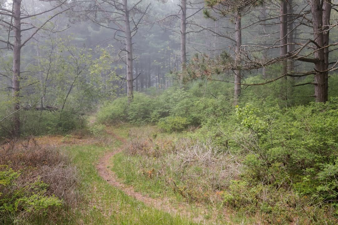
Clay Island Light
Mouth · Maryland
Built in 1832 along the Nanticoke River in Maryland, Clay Island Light served as a vital navigational aid for vessels traveling the river’s shallow, winding waters. The lighthouse guided commercial traffic hauling timber and oysters from the Eastern Shore’s thriving maritime trade.
Now deactivated, the light is no longer open to the public and cannot be climbed. Its remote riverside setting makes it a compelling subject for photographers, with golden hour and early morning fog offering the most dramatic shots.
Nearby, visitors can explore the Nanticoke River’s scenic kayaking trails, the charming town of Vienna, and the Blackwater National Wildlife Refuge, one of the Mid-Atlantic’s premier birdwatching destinations.
Explore Nearby
- Devils Island Wildlife Management Area — State Park in Illinois
- Janes Island State Park — State Park in Maryland
- Harriet Tubman Underground Railroad Byway — Scenic Byway in Maryland
- Chesapeake Country Scenic Byway — Scenic Byway in Maryland
- Douglas Point Special Recreation Management Area — Public Land in Maryland
Nearby Discoveries
12 places to explore within 30 miles

Solomons Lump Light
13.3 miles away
Holland Island Bar Light
13.7 miles away
Fog Point Light
14.7 miles away
Hooper Island Light
15.7 miles away
Janes Island State Park
16.8 miles away
Janes Island Light
16.8 miles away
Tangier Sound Light
17.1 miles away
Harriet Tubman Underground Railroad State Park
17.5 miles away
Harriet Tubman Underground Railroad Byway
17.6 miles away · 4.8 ★
Somers Cove Light
18.8 miles away
Upper Cedar Point Light
19.3 miles away