Title: Map of Iowa With Cities and Highways: Clear and Convenient
Description: Navigate using our detailed map of Iowa with cities and highways, and explore the beautiful landscape of the Hawkeye State with ease.
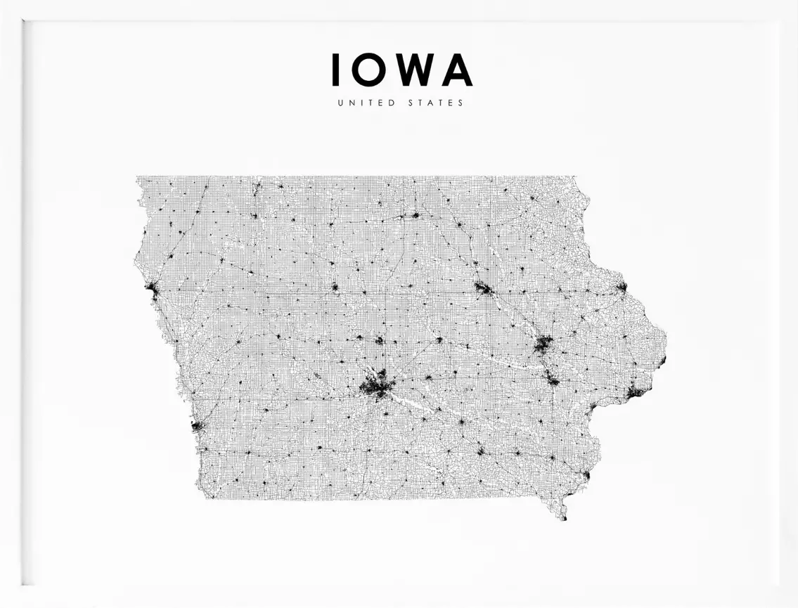
Iowa, located in the Midwestern region of the United States, is a state known for its stunning natural beauty, rich history, and vibrant culture. With its rolling hills, expansive farmland, and charming small towns, Iowa offers a unique blend of nature and culture. To help visitors and residents navigate this beautiful state, we have created a detailed map of Iowa with cities and highways.
This map highlights Iowa’s major cities, including Des Moines, Cedar Rapids, Davenport, and Sioux City, as well as its primary highways and roads. Whether you’re planning a road trip or simply want to explore Iowa’s unique landscape and culture, this map is an essential tool. So, grab your map and get ready to discover all that Iowa has to offer, from its historic landmarks to its charming small towns and everything in between.
Printable Iowa Map With Cities and Highways
Cities
Ames
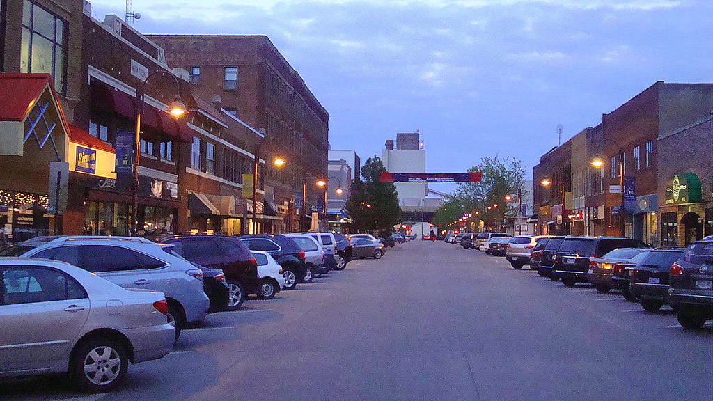
Ames is a vibrant city located in Story County, Iowa, approximately 30 miles (48 km) north of Des Moines in central Iowa. The city is best known as the home of Iowa State University (ISU), which has leading agriculture, design, engineering, and veterinary medicine colleges. With a population of 66,427 according to the 2020 census, Ames is the state’s ninth-largest city.
ISU is a major contributor to the city’s population, with 27,854 students as of spring 2023, making up approximately half of the city’s population. Ames is also home to the United States Department of Energy national laboratory, Ames Laboratory, located on the ISU campus.
Additionally, Ames hosts important United States Department of Agriculture (USDA) sites, including the largest federal animal disease center in the United States, the USDA Agricultural Research Service’s National Animal Disease Center (NADC), and one of two national USDA sites for the Animal and Plant Health Inspection Service (APHIS), which comprises the National Veterinary Services Laboratory and the Center for Veterinary Biologics. The city also serves as the headquarters for the Iowa Department of Transportation.
Ankeny

Ankeny is a fast-growing city located in Polk County, Iowa, and a suburb of the state capital of Des Moines, as part of the Des Moines-West Des Moines, IA metropolitan statistical area. As of the 2020 census, Ankeny had a population of 67,887, making it the seventh-largest city in the state. The city’s incorporated area covers 29.14 square miles.
Ankeny has gained recognition for its family-friendly atmosphere, having been named one of the top ten towns for families by Family Circle in 2008. The city was also ranked No. 62 in MONEY Magazine’s top 100 places to live list in 2009. With its growing population and reputation as a desirable place to live, Ankeny is a thriving city in Iowa.
Bettendorf

Bettendorf is a city located in Scott County, Iowa, and is the third-largest city in the “Quad Cities” along with neighboring Davenport, and the Illinois cities of Moline, East Moline, and Rock Island. As of the 2020 census, Bettendorf had a population of 39,102, making it the 15th largest city in Iowa.
The city is part of the Davenport–Moline–Rock Island, IA-IL Metropolitan Statistical Area. The Quad Cities, which also includes Bettendorf, had a population of 379,374 according to the 2022 estimate. With its location in the Quad Cities and its growing population, Bettendorf is a vibrant city in Iowa.
Boone
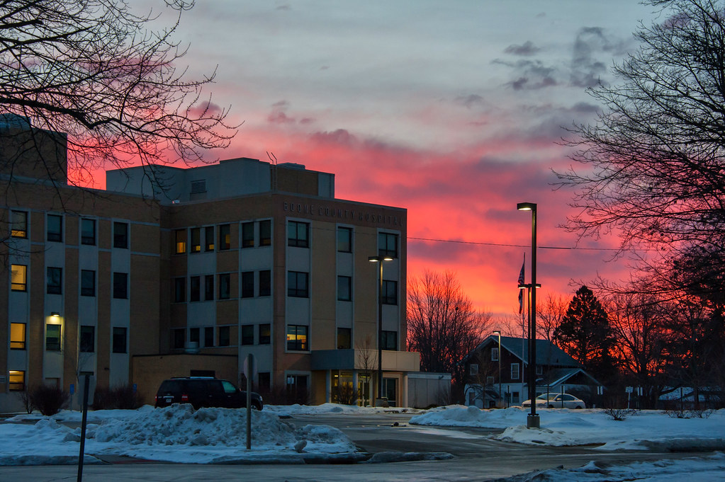
Boone is a city located in Des Moines Township and serves as the county seat of Boone County, Iowa. As of the 2020 census, the population of Boone was 12,460, making it a relatively small city in Iowa. However, it is the principal city of the Boone, Iowa Micropolitan Statistical Area, which encompasses all of Boone County.
This micropolitan statistical area, along with the Ames, Iowa Metropolitan Statistical Area, comprises the larger Ames-Boone, Iowa Combined Statistical Area. With its location in central Iowa and its role as the county seat, Boone plays an important role in the region’s economy and culture.
Carroll

Carroll is a city located along the Middle Raccoon River and serves as the county seat of Carroll County, Iowa, United States. As of the 2020 census, the population of Carroll was 10,321, making it a relatively small city in Iowa. Despite its small size, Carroll plays an important role in the region as the county seat.
The city is home to many local businesses and organizations, including the Carroll Area Development Corporation, which works to promote economic growth and development in the area. With its location along the Middle Raccoon River and its role as the county seat, Carroll is a charming city in Iowa with a strong sense of community.
Cedar Falls

Cedar Falls is a city located in Black Hawk County, Iowa, United States. As of the 2020 census, the city had a population of 40,713. Cedar Falls is known for being home to the University of Northern Iowa, a public university. The university is a major contributor to the city’s economy and culture, providing education and employment opportunities to residents and attracting students from across the state and beyond.
Cedar Falls is also part of the Waterloo-Cedar Falls Metropolitan Statistical Area, along with the neighboring city of Waterloo, Iowa. This area is commonly referred to as the “Cedar Valley,” due to the Cedar River that runs through the region. With its exciting community and strong ties to education, Cedar Falls is a unique and thriving city in Iowa.
Cedar Rapids
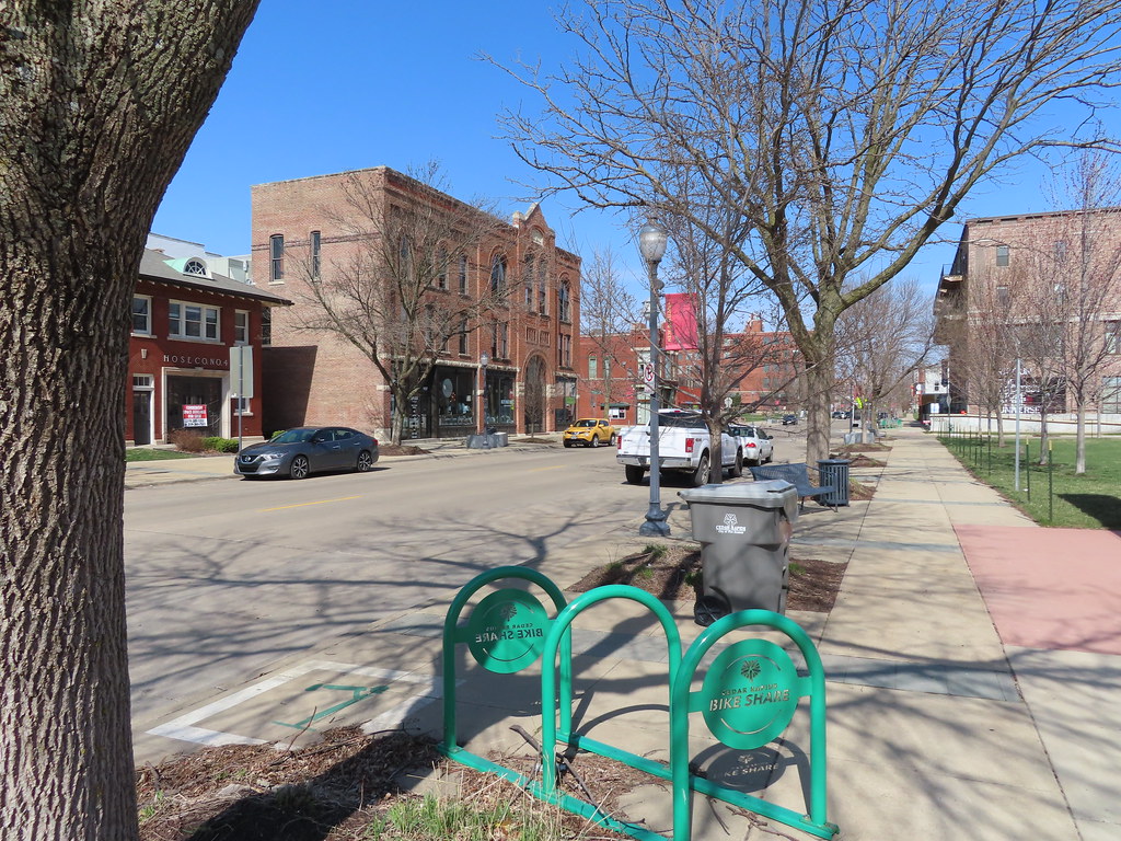
Cedar Rapids is the second-largest city in Iowa, United States, and serves as the county seat of Linn County. The city is located on both banks of the Cedar River, 20 miles (32 km) north of Iowa City and 100 miles (160 km) northeast of Des Moines, the state’s capital and largest city. Cedar Rapids is part of the Cedar Rapids/Iowa City region of Eastern Iowa, which includes Linn, Benton, Cedar, Iowa, Jones, Johnson, and Washington counties.
As of the 2020 United States Census, the city had a population of 137,710. The estimated population of the three-county Metropolitan Statistical Area, which includes the nearby cities of Marion and Hiawatha, was 255,452 in 2008. Cedar Rapids is a major economic hub of the state, located at the core of the Interstate 380 corridor. The Cedar Rapids Metropolitan Statistical Area (MSA) is also part of a Combined Statistical Area (CSA) with the Iowa City MSA. With its central location and economic importance, Cedar Rapids is a flourishing city in Iowa.
Clinton
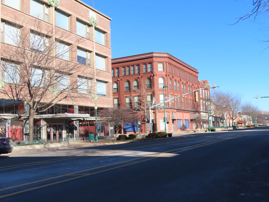
Clinton is a city located in and serves as the county seat of Clinton County, Iowa, United States. As of 2020, the population of Clinton was 24,469, making it a relatively small city in Iowa. The city was named in honor of the sixth governor of New York, DeWitt Clinton, along with the neighboring city DeWitt, which is also located in Clinton County.
Clinton is the principal city of the Clinton Micropolitan Statistical Area, which encompasses all of Clinton County. The city was incorporated on January 26, 1857, and has a rich history as a transportation hub and industrial center. With its location on the Mississippi River and its role as the county seat, Clinton is a charming city in Iowa with a distinctive character and a welcoming sense of community.
Coralville

Coralville is a city located in Johnson County, Iowa, United States, and is a suburb of Iowa City. As of the 2020 census, the population of Coralville was 22,318, making it a relatively small city in Iowa. Coralville is part of the Iowa City Metropolitan Statistical Area, which includes neighboring cities such as North Liberty and Tiffin.
The city is known for its strong economy, with a diverse range of businesses and industries contributing to its growth and development. Coralville is also home to several parks and recreational areas, including the Coralville Lake and the Coralville Reservoir, which offer opportunities for outdoor activities such as boating, fishing, and hiking. With its location in Johnson County and its proximity to Iowa City, Coralville is a charming and bustling city in Iowa.
Council Bluffs

Council Bluffs is a city located in and serves as the county seat of Pottawattamie County, Iowa, United States. It is the most populous city in Southwest Iowa and the third-largest city in Iowa. Council Bluffs is also a primary city of the Omaha-Council Bluffs Metropolitan Area, which includes the next-door city of Omaha, Nebraska.
The city is located on the east bank of the Missouri River, across from Omaha. Until about 1853, Council Bluffs was known as Kanesville, which was the historic starting point of the Mormon Trail. Kanesville is also the northernmost anchor town of the other emigrant trails because there was a steam-powered boat that ferried the settlers’ wagons and cattle across the Missouri River.
In 1869, the first transcontinental railroad to California was connected to the existing U.S. rail network at Council Bluffs. As of the 2020 census, the population of Council Bluffs was 62,799, making it the state’s tenth-largest city. The Omaha metropolitan region, of which Council Bluffs is a part, is the 58th largest in the United States, with an estimated population of 967,604 as of 2020. With its rich history and location on the Missouri River, Council Bluffs is a characterful and exciting city in Iowa.
Davenport
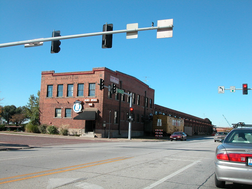
Davenport is a city located in and serves as the county seat of Scott County, Iowa, United States. The city is situated along the Mississippi River on the eastern border of the state and is the largest of the Quad Cities, a metropolitan area with a population of 384,324 and a combined statistical area population of 474,019. According to the 2020 census, the city had a population of 101,724, making it Iowa’s third-largest city after Des Moines and Cedar Rapids.
Davenport was founded on May 14, 1836, by Antoine Le Claire and named for his friend George Davenport. The city is known for its frequent flooding due to its location on the Mississippi River, but it has also become a cultural hub with two main universities, St. Ambrose University and Palmer College of Chiropractic.
Davenport hosts several annual music festivals, including the Mississippi Valley Blues Festival, the Mississippi Valley Fair, and the Bix Beiderbecke Memorial Jazz Festival. The city also has a Class A minor-league baseball team, the Quad Cities River Bandits, and offers more than 20 miles of recreational paths for biking or walking. With its pleasing location and immersive cultural scene, Davenport is a marvelous city in Iowa.
Des Moines

Des Moines is the capital and most populous city in Iowa, United States, and serves as the county seat of Polk County. A small part of the city extends into Warren County. The city was originally incorporated on September 22, 1851, as Fort Des Moines, which was later shortened to “Des Moines” in 1857. The city is located on, and named after, the Des Moines River, which likely was adapted from the early French name, Rivière des Moines, meaning “River of the Monks”.
As of the 2020 census, the city had a population of 214,133, making it the largest city in Iowa. The six-county metropolitan area is ranked 83rd in terms of population in the United States, with 699,292 residents according to the 2019 estimate by the United States Census Bureau, and is the largest metropolitan area fully located within the state.
Des Moines is a major center of the US insurance industry, with a sizable financial services and publishing business base. The city is home to several major corporations, including the Principal Financial Group, Ruan Transportation, TMC Transportation, EMC Insurance Companies, and Wellmark Blue Cross Blue Shield.
In recent years, Des Moines has also attracted tech companies such as Microsoft, Hewlett-Packard, and Facebook, which have built data processing and logistical facilities in the area. With its robust economy and growing tech industry, Des Moines is an attractive city in Iowa.
Dubuque
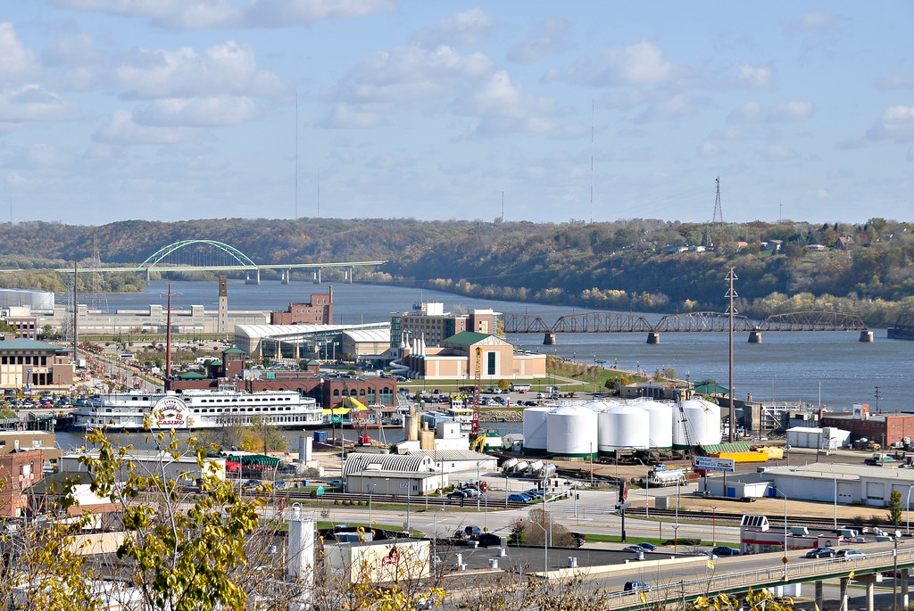
Dubuque is a city located in and serves as the county seat of Dubuque County, Iowa, United States, situated along the Mississippi River. At the time of the 2020 census, the population of Dubuque was 59,667, making it a relatively small city in Iowa. The city lies at the junction of Iowa, Illinois, and Wisconsin, a region locally known as the Tri-State Area.
Dubuque serves as the main commercial, industrial, educational, and cultural center for the area and is a regional tourist destination featuring the city’s unique architecture, casinos, and river location. The city is home to five institutions of higher education and is known for its strong manufacturing industry, as well as its health care, publishing, and financial service sectors.
Geographically, Dubuque is part of the Driftless Area, a portion of North America that escaped all three phases of the Wisconsin Glaciation, giving it a particular landscape and character. With its rich history and unique geography, Dubuque is a delightful and beguiling city in Iowa.
Fairfield
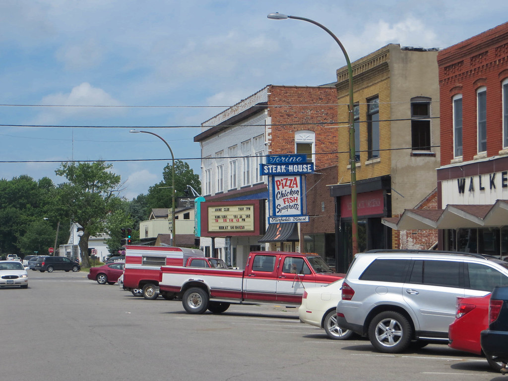
Fairfield is a city located in and serves as the county seat of Jefferson County, Iowa, United States. As of the 2020 census, the city had a population of 9,416 people, making it a relatively small city in Iowa. The median family income in Fairfield is $46,138, with 10% of families living below the poverty line.
The city has a rich history, having become the county seat in 1839 with only 110 residents. By 1847, the population had grown to 650. Fairfield’s library was established in 1853, and it held its first fair in 1854. The city is also known for its unique architecture, including works by George Franklin Barber and Barry Byrne. With its small-town charm and deep history, Fairfield is a marvelous city in Iowa.
Fort Dodge
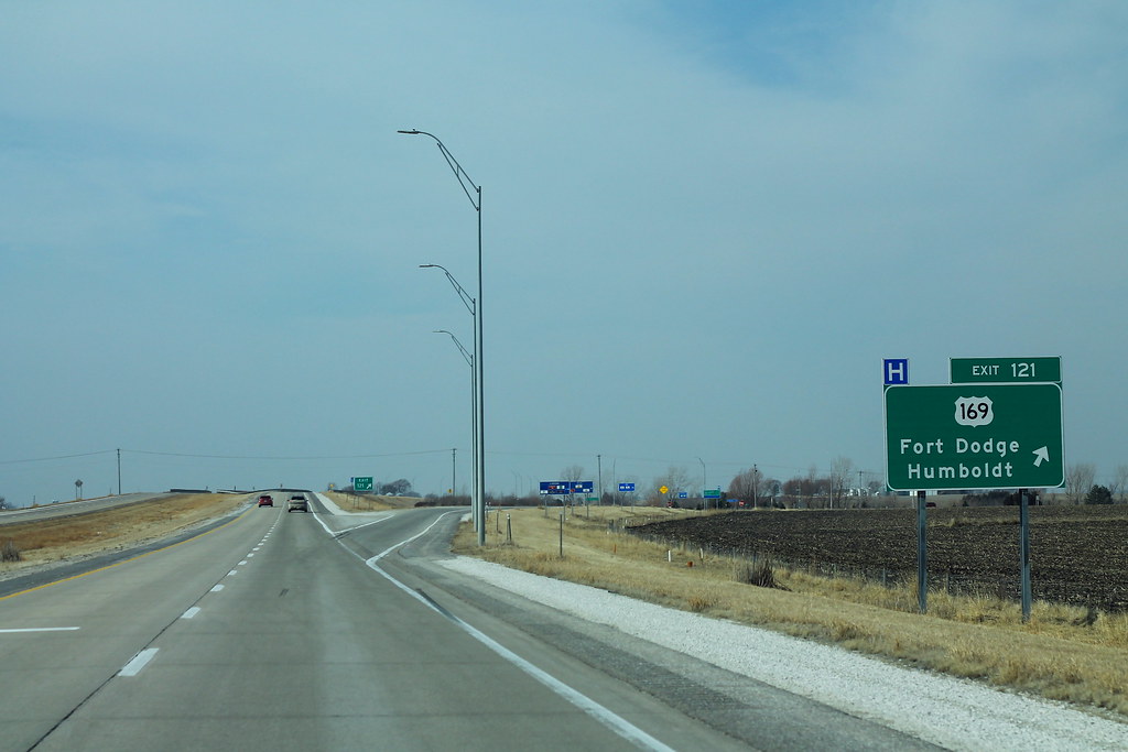
Fort Dodge is a city located in and serves as the county seat of Webster County, Iowa, United States, situated along the Des Moines River. As of the 2020 census, the population of Fort Dodge was 24,871, a decrease from 25,136 in 2000. Despite the decrease in population, Fort Dodge remains a major commercial center for North Central and Northwest Iowa.
The city is located on U.S. Routes 20 and 169, making it easily accessible for both residents and visitors. With its prime location and strong commercial center, Fort Dodge is a fascinating city in Iowa.
Fort Madison
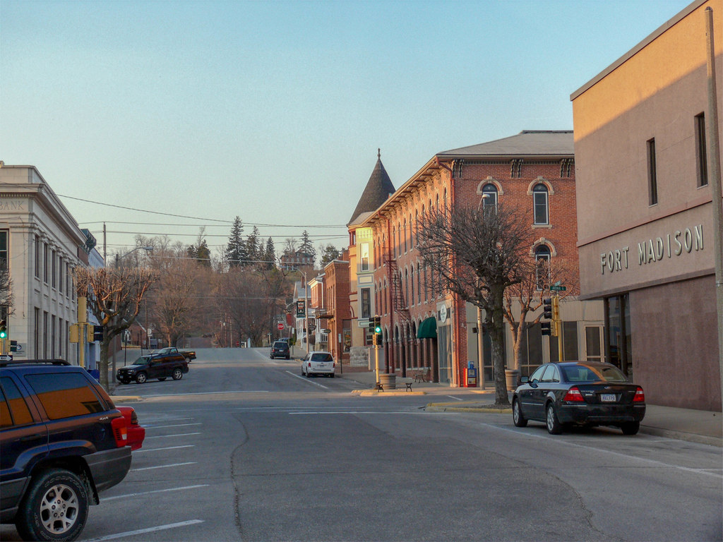
Fort Madison is a city located in and serves as a county seat of Lee County, Iowa, United States, along with Keokuk. Lee County is the only one of Iowa’s 99 counties with two county seats. As of the 2020 census, the population of Fort Madison was 10,270, making it a relatively small city in Iowa.
The city is situated along the Mississippi River in the state’s southeast corner, lying between small bluffs along one of the widest portions of the river. With its convenient location and status as a county seat, Fort Madison is a charming city in Iowa.
Indianola
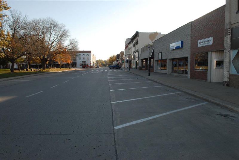
Indianola is a city located in Warren County, Iowa, United States, situated 14 miles (23 km) south of downtown Des Moines. As of the 2020 census, the population of Indianola was 15,833, making it a relatively small city in Iowa. Indianola serves as the county seat of Warren County and is home to several notable attractions, including the National Balloon Classic, a nine-day hot air balloon festival held annually in the summer.
The city is also home to the Des Moines Metro Opera, a world-renowned major American Summer Opera Festival, and Simpson College. With its various attractions and proximity to Des Moines, Indianola is a thriving city in Iowa.
Iowa City

Iowa City is the seat of government of Johnson County, Iowa, United States, and is the home of the University of Iowa. As of the 2020 census, the population of Iowa City was 74,828, making it the state’s fifth-largest city. The metropolitan area, which encompasses Johnson and Washington counties, has a population of over 171,000. Iowa City was the second capital of the Iowa Territory and the first capital city of the State of Iowa.
The Old Capitol building is a National Historic Landmark in the center of the University of Iowa campus, and the University of Iowa Art Museum and Plum Grove, the home of the first governor of Iowa, are also popular tourist attractions. In 2008, Forbes magazine named Iowa City the second-best small metropolitan area for doing business in the United States.
The Iowa City Metropolitan Statistical Area (MSA) is also part of a Combined Statistical Area (CSA) with the Cedar Rapids MSA. This CSA plus two additional counties are known as the Iowa City-Cedar Rapids region, which collectively has a population of nearly 500,000. With its rich history, strong economy, and university culture, Iowa City is a vibrant and distinctive city in Iowa.
Keokuk
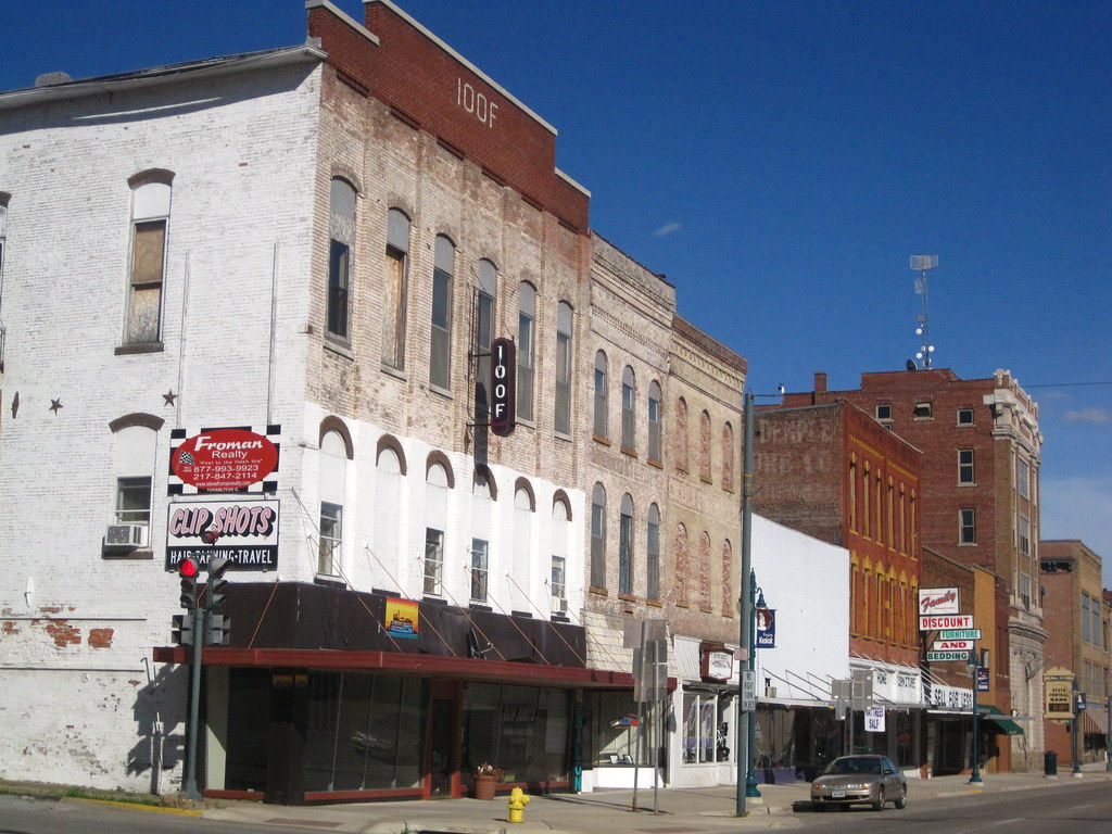
Keokuk is a city located in and serves as a county seat of Lee County, Iowa, United States. It is Iowa’s southernmost city, with a population of 9,900 at the time of the 2020 census. The city is named after the Sauk chief Keokuk, who is thought to be buried in Rand Park. Keokuk is located in the extreme southeast corner of Iowa, where the Des Moines River meets the Mississippi, and is at the junction of U.S. Routes 61, 136, and 218.
The towns of Hamilton and Warsaw, Illinois, and Alexandria, Missouri, are just across the rivers from Keokuk. Keokuk, along with the city of Fort Madison, is a principal city of the Fort Madison-Keokuk micropolitan area, which includes all of Lee County, Iowa, Hancock County, Illinois, and Clark County, Missouri. With its beautiful location and history, Keokuk is a flourishing city in Iowa.
Marion
Marion is a city located in Linn County, Iowa, United States, situated next to Cedar Rapids and part of the Cedar Rapids Metropolitan Statistical Area. The population of Marion was 26,294 at the 2000 census, but has since grown significantly, reaching 41,535 in 2020, an increase of 58%. With its growth, Marion has become a thriving city in Iowa.
The city offers a variety of amenities and attractions, including parks, museums, shopping centers, and restaurants. Marion also has a strong economy, with many businesses and industries contributing to its success. With its location next to Cedar Rapids and its growing population, Marion is a great place to live and work in Iowa.
Marshalltown
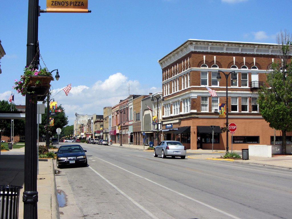
Marshalltown is a city located in the U.S. state of Iowa and serves as the seat of Iowa’s Marshall County. As of the 2020 census, the population of Marshalltown was 27,591, making it the 16th largest city in the state. Marshalltown is known for being home to the Iowa Veterans Home, a long-term care facility for veterans, and Marshalltown Community College, a two-year college offering a variety of programs and degrees.
The city also offers a range of amenities and attractions, including parks, museums, and shopping centers. With its strong educational and healthcare institutions, as well as its growing population, Marshalltown is a burgeoning city in Iowa.
Mason City

Mason City is a city located in and serves as the county seat of Cerro Gordo County, Iowa, United States. As of the 2020 census, the population of Mason City was 27,338, a decline from 29,172 in the 2000 census. The Mason City Micropolitan Statistical Area includes all of Cerro Gordo and Worth counties.
The city is commonly referred to as the “River City,” as it grew up centered on the Winnebago River. Mason City offers a variety of amenities and attractions, including parks, museums, and shopping centers. The city is also known for its unique architecture, including several buildings designed by Frank Lloyd Wright. With its location along the Winnebago River and its rich history and architecture, Mason City is a charming and growing city in Iowa.
Muscatine
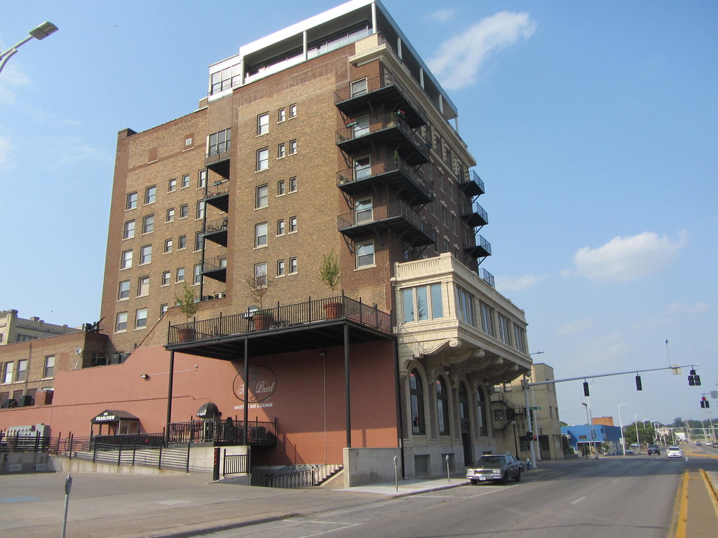
Muscatine is a city located in Muscatine County, Iowa, United States, situated along the Mississippi River. As of the 2020 census, the population of Muscatine was 23,797, an increase from 22,697 in 2000. The city serves as the county seat of Muscatine County and is the principal city of the Muscatine Micropolitan Statistical Area, which includes all of Muscatine and Louisa counties.
With a population of over 54,000, the Muscatine Micropolitan Statistical Area is the 283rd-largest micropolitan statistical area in the United States. The city is known for its distinctive name, as the local business association states that the name Muscatine is not used by any other community. With its location along the Mississippi River and its growing population, Muscatine is an attractive city in Iowa.
Newton

Newton is a city located in Jasper County, Iowa, United States, and serves as the county seat and most populous city in the county. The city is situated 30 miles (48 km) east of Des Moines, making it a part of Central Iowa. As of the 2020 Census, the population of Newton was 15,760.
Newton is known for being the home of Iowa Speedway, a NASCAR racing track that hosts several major racing events throughout the year. The city is also home to Maytag Dairy Farms, a well-known producer of artisanal cheeses. With its varied attractions and location in Central Iowa, Newton is a marvelous city in Iowa.
Oskaloosa
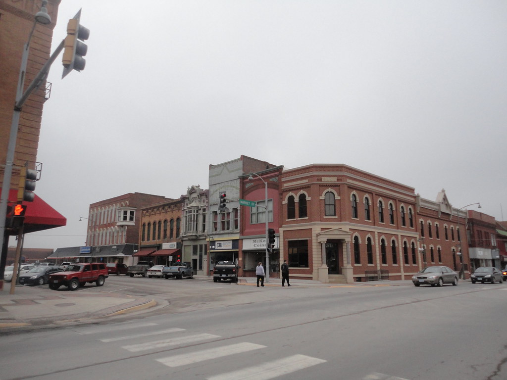
Oskaloosa is a city located in Mahaska County, Iowa, United States, and serves as the county seat of the county. In the late nineteenth and early twentieth century, Oskaloosa was a national center of bituminous coal mining, which contributed significantly to the city’s growth and development. As of the 2020 U.S. Census, the population of Oskaloosa was 11,558.
The city offers a variety of amenities and attractions, including parks, museums, and shopping centers. Oskaloosa is also known for its unique architecture, including several buildings listed on the National Register of Historic Places. With its intriguing history and culture, as well as its growing population, Oskaloosa is a fascinating city in Iowa.
Ottumwa
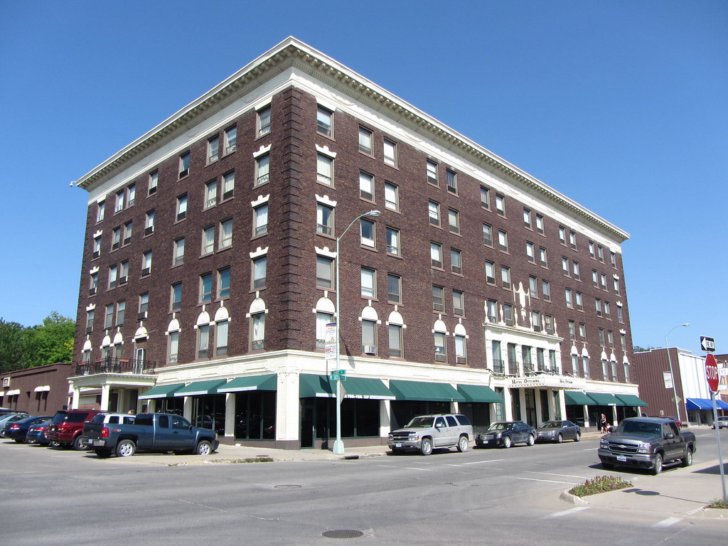
Ottumwa is a city located in and serves as the county seat of Wapello County, Iowa, United States. As of the 2020 U.S. Census, the population of Ottumwa was 25,529. The city is situated in the southeastern section of the state and is split into northern and southern halves by the Des Moines River.
Ottumwa offers a plethora of amenities and attractions, including parks, museums, and shopping centers. The city is also known for its unique architecture, including several buildings listed on the National Register of Historic Places. With its location along the Des Moines River and its growing population, Ottumwa is a prosperous city in Iowa.
Sioux City

Sioux City is a city located in Woodbury and Plymouth counties in the northwestern part of the U.S. state of Iowa. As of the 2020 census, the population of Sioux City was 85,797, making it the fourth-largest city in Iowa. The bulk of the city is in Woodbury County, of which it is the county seat, although a small portion is in Plymouth County.
Sioux City is strategically located at the navigational head of the Missouri River, providing access to transportation and commerce. The city is home to several cultural points of interest, including the Sioux City Public Museum, Sioux City Art Center, and Sergeant Floyd Monument, which is a National Historic Landmark.
Sioux City is also home to Chris Larsen Park, commonly referred to as “the Riverfront,” which includes the Anderson Dance Pavilion, Sergeant Floyd Riverboat Museum, and Lewis and Clark Interpretive Center. With its rich cultural heritage and thriving economy, Sioux City is the primary city of the five-county Sioux City, IA–NE–SD Metropolitan Statistical Area, with a population of 149,940 in the 2020 census. The Sioux City–Vermillion, IA–NE–SD Combined Statistical Area had a population of 175,638 as of 2020.
Spencer
Spencer is a city located in the state of Iowa, United States, and serves as the county seat of Clay County. The city is situated at the confluence of the Little Sioux and Ocheyedan rivers. As of the 2020 census, the population of Spencer was 11,325, an increase from 11,317 in 2000.
Spencer is known for hosting the Clay County Fair, one of the largest county fairs in the United States, held annually in September and attracting more than 300,000 visitors. The city also gained international attention for its late library cat, Dewey Readmore Books, who became known throughout the world before his death in 2006.
Dewey was immortalized in the book Dewey: The Small-Town Library Cat Who Touched the World by Vicki Myron, director of the library, and Bret Witter. With its fascinating attractions and growing population, Spencer is a welcoming city in Iowa.
Urbandale
Urbandale is a city located in both Polk and Dallas counties in Iowa, United States. As of the 2020 U.S. Census, the population of Urbandale was 45,580. The city is a part of the Des Moines–West Des Moines Metropolitan Statistical Area, which is one of the fastest-growing metropolitan areas in the Midwest.
Urbandale offers a variety of amenities and attractions, including parks, museums, and shopping centers. The city is also known for its strong economy, with many businesses and industries contributing to its success. With its location in the Des Moines metropolitan area and its growing population, Urbandale is an attractive city in Iowa.
Waterloo
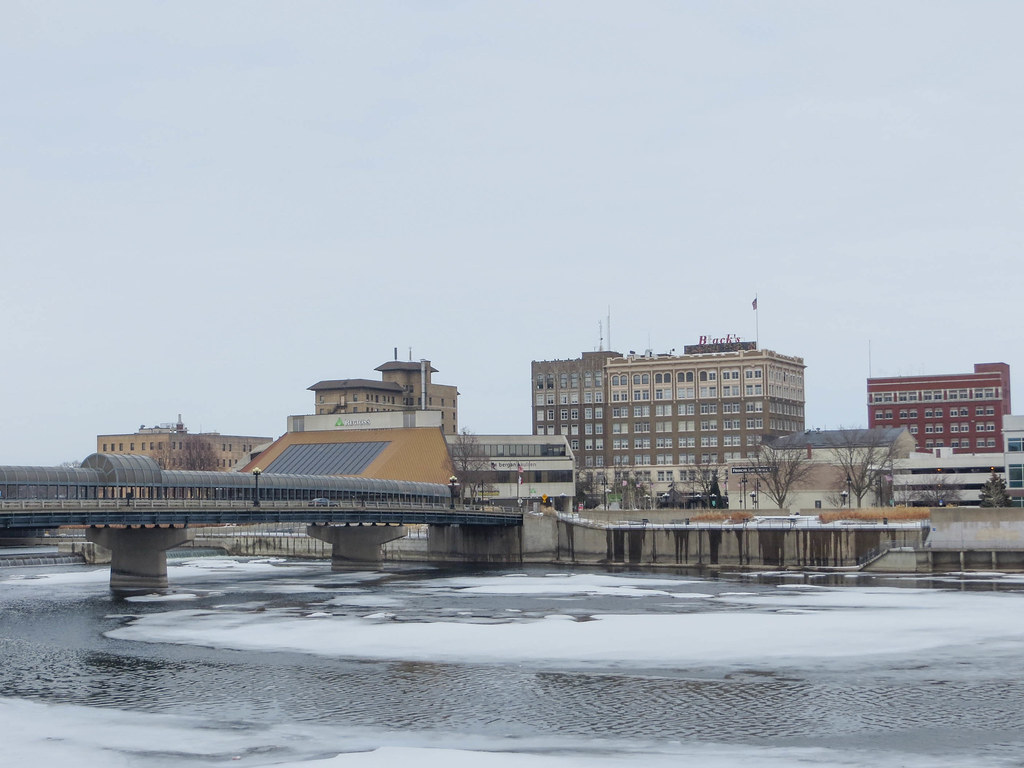
Waterloo is a city located in and serves as the county seat of Black Hawk County, Iowa, United States. As of the 2020 United States Census, the population of Waterloo was 67,314, making it the eighth-largest city in the state. The city is part of a twin conurbation with its neighbor municipality Cedar Falls. Waterloo is the more populous of the two cities and is part of the Waterloo-Cedar Falls Metropolitan Statistical Area.
The city offers a range of amenities and attractions, including parks, museums, and shopping centers. Waterloo is also known for its strong economy, with many businesses and industries contributing to its success. With its location in the Waterloo-Cedar Falls metropolitan area and its growing population, Waterloo is a spirited city in Iowa.
West Des Moines
West Des Moines is a city located in Polk, Dallas, Warren, and Madison counties in the U.S. state of Iowa. The majority of the city is located in Polk County, with a minority of the city located in Dallas County, and small portions extending into Warren and Madison counties. As of the 2020 census, the population of West Des Moines was 68,723, making it the second-largest city in the Des Moines metropolitan area and the sixth-largest city in Iowa.
The city offers a variety of amenities and attractions, including parks, museums, and shopping centers. West Des Moines is also known for its strong economy, with many businesses and industries contributing to its success. With its location in the Des Moines metropolitan area and its growing population, West Des Moines is a promising city in Iowa.
Highways
Route 6

U.S. Highway 6 (US 6) is an east-west United States Numbered Highway that stretches 322 miles (518 km) across the state of Iowa. Known in places as the Grand Army of the Republic Highway, the route is maintained by the Iowa Department of Transportation (Iowa DOT). US 6 begins at the Missouri River crossing at Council Bluffs and travels east through Oakland and Atlantic.
The highway overlaps Interstate 80 (I-80) north of Atlantic until De Soto then overlaps US 169 between De Soto and Adel before splitting off to the east toward Des Moines. In the Des Moines area, the highway runs about one mile (1.6 km) north or south of the I-35/I-80 corridor. As a major east-west route in Iowa, US 6 offers travelers access to a variety of cities and attractions across the state.
Route 18
U.S. Highway 18 (US 18) is the northernmost east-west United States Numbered Highway in the state of Iowa. Maintained by the Iowa Department of Transportation (Iowa DOT), the highway enters Iowa by crossing the Big Sioux River between Inwood and Canton, South Dakota. It then travels approximately 312 miles (502 km) across the state, connecting the cities of Spencer, Mason City, and Charles City. US 18 exits Iowa via the Marquette-Joliet Bridge over the Mississippi River at Marquette.
Before becoming a U.S. Highway, the route that US 18 follows was known as Primary Road No. 19 and the National Parks Pike. As a major east-west route in northern Iowa, US 18 eases access to a range of cities and attractions in the region.
Route 20
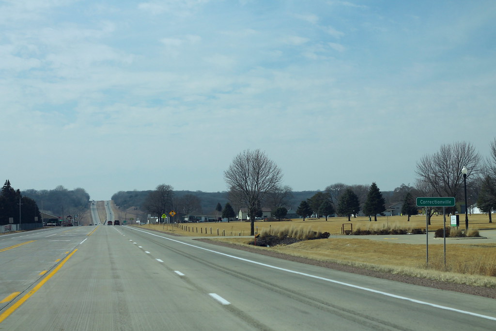
U.S. Highway 20 (US 20) is a major east-west artery that runs across the state of Iowa, separating the northern third of the state from the southern two-thirds. The highway enters Iowa from Nebraska, concurrent with Interstate 129 (I-129) and US 75, crossing the Missouri River at Sioux City. US 20 runs in a straight line across Iowa, paralleling 42° 27′ N.
The highway exits Iowa in Dubuque by crossing the Mississippi River into Illinois. Since October 2018, US 20 has been a four-lane divided highway for its entire length in Iowa. As a major east-west route in the state, US 20 provides travelers with access to a variety of cities and attractions, including Sioux City, Fort Dodge, and Dubuque.
Route 30
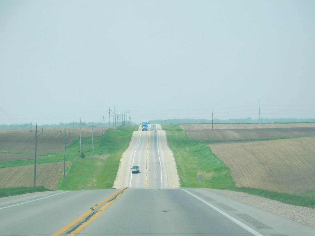
U.S. Highway 30 (US 30) is a major east-west U.S. Highway that spans 330 miles (530 km) across the state of Iowa. It is the longest primary highway in the state and is maintained by the Iowa Department of Transportation (Iowa DOT). The route begins at the Missouri River crossing at Blair, Nebraska, and ends at the Mississippi River crossing at Clinton, Iowa.
Along the way, it serves Denison and Carroll in western Iowa, Boone, Ames, and Marshalltown in central Iowa, and Tama, Cedar Rapids, and DeWitt in eastern Iowa. US 30 runs within close proximity of the Union Pacific Railroad’s Overland Route for its entire length, cutting across the central portion of the state.
The highway was originally conceived as a part of the Lincoln Highway, the first transcontinental highway in the United States. By 1931, the entire route had been paved across Iowa with federal funding. Today, US 30 remains an important east-west route in the state, providing convenient access to a variety of cities and attractions.
Route 34

U.S. Highway 34 (US 34) is a major east-west United States Highway that runs across the southern third of Iowa. The highway begins on a bridge over the Missouri River west of Glenwood and travels east, meeting Interstate 29 (I-29) and US 275.
Through southwestern Iowa, the highway is mostly a two-lane rural road with at-grade intersections, with interchanges with US 59 near Emerson and US 71 near Stanton and Villisca. At Osceola, the highway intersects I-35 and US 69. Just east of Ottumwa, the road joins the four-lane Iowa 163 for the remainder of its trek through the state.
At Mount Pleasant, US 34 overlaps with US 218 and Iowa 27, the Avenue of the Saints Highway. From there, the highway heads southeast and crosses the Mississippi River on the Great River Bridge at Burlington. As a major east-west route in southern Iowa, US 34 gives travelers access to an array of cities and attractions, including Ottumwa, Mount Pleasant, and Burlington.
Route 52
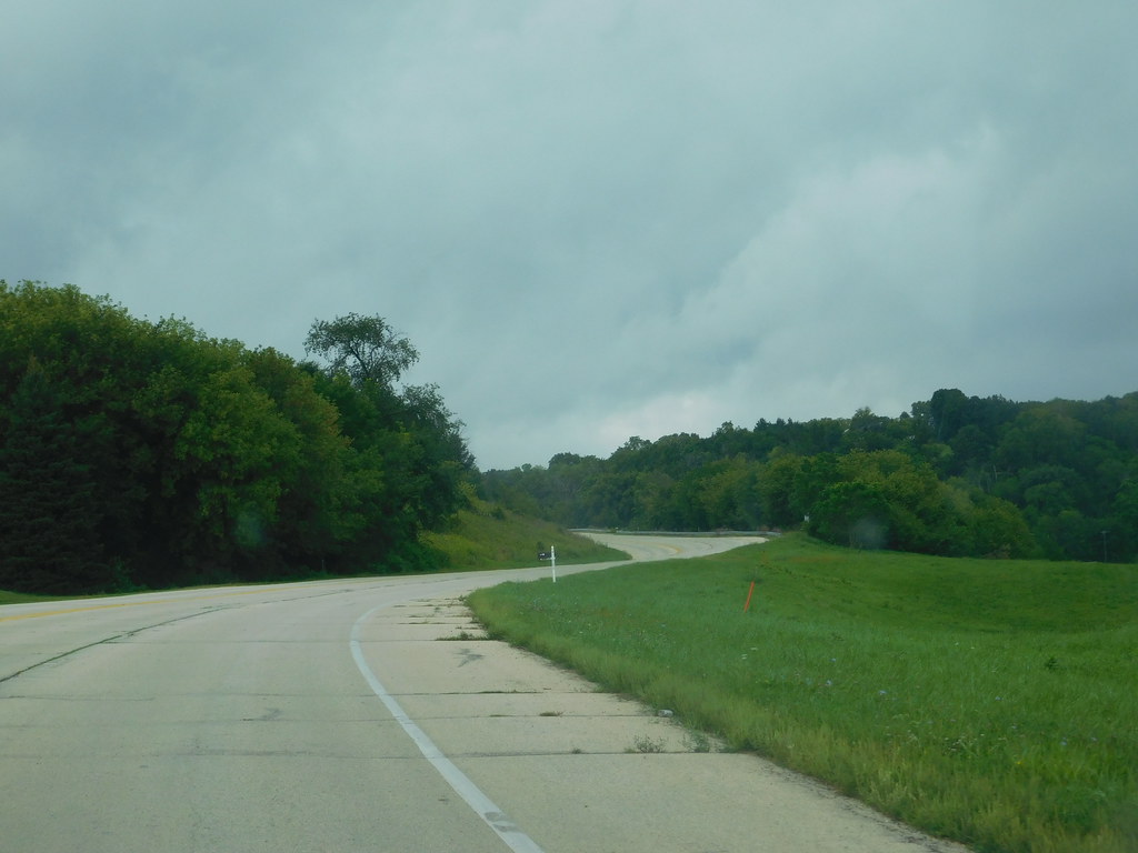
U.S. Highway 52 (US 52) is a 166-mile-long (267 km) United States Numbered Highway in northeast Iowa. The highway begins at the Dale Gardner Veterans Memorial Bridge over the Mississippi River between Sabula and Savanna, Illinois. From Sabula, it heads north along the Mississippi River towards Bellevue and Dubuque.
At Dubuque, US 52 briefly shares an expressway with US 61 and US 151 before joining the Southwest Arterial, another expressway diverting traffic around the southern edge of Dubuque. West of Dubuque, the highway concurrently follows the US 20 expressway before joining Iowa Highway 136 (Iowa 136) in Dyersville. US 52 then continues north towards Guttenberg before heading northwest to overlap with US 18 for 15 miles (24 km) at Calmar.
The highway then turns north towards Decorah before crossing into Minnesota north of Burr Oak. Despite being an even-numbered route, US 52 is signed as a north-south route in Iowa. As a major north-south route in the state, US 52 helps travelers access a range of cities and attractions in northeast Iowa, including Dubuque, Decorah, and Guttenberg.
Route 59
U.S. Highway 59 (US 59) is a major north-south United States Highway that traverses the western third of Iowa. The highway begins at the Missouri state line southwest of Northboro and travels north in a zigzag pattern through Shenandoah, Avoca, Denison, and Cherokee before ending at the Minnesota state line east of Bigelow.
The highway was designated in 1934, but community officials along the current route had been seeking a U.S. Highway to their cities for several years prior. As a major north-south route in western Iowa, US 59 provides travelers with access to a variety of cities and attractions, including parks, museums, and historic sites.
Route 61

U.S. Highway 61 (US 61) is a major north-south United States Highway that serves eastern Iowa. The highway enters the state from Missouri near Keokuk, overlapped with US 136. North of Keokuk, it is briefly overlapped by US 218 before following the course of the Mississippi River past Montrose and Fort Madison.
US 61 meets US 34 at Burlington and passes through Wapello before bypassing Muscatine and Blue Grass on its way toward Davenport. In Davenport, the highway follows Interstate 280 (I-280) and I-80 around the Quad Cities before continuing north on a freeway toward DeWitt, where it meets US 30. The highway then continues north through Maquoketa and reaches the Dubuque area, where it is joined by US 151 and briefly by US 52.
The two highways enter the downtown area on an expressway. Due to the proximity of the Mississippi River and railroad tracks, the routes have an indirect junction with US 20. US 61 and US 151 leave the state and enter Wisconsin about a half-mile north of the Illinois-Wisconsin state line. As a major north-south route in eastern Iowa, US 61 provides travelers with access to an array of cities and attractions, including historic sites, parks, and cultural centers.
Route 63
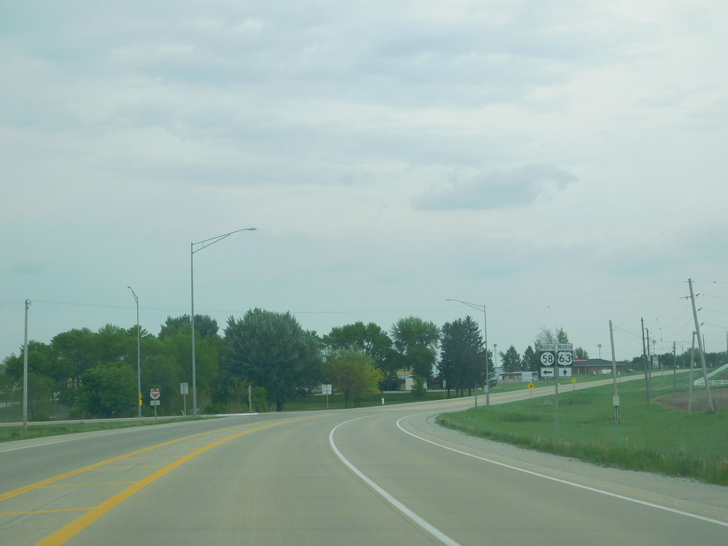
U.S. Highway 63 (US 63) is a major north-south United States Highway that runs through the eastern third of Iowa. The highway begins at the Missouri state line southwest of Bloomfield and travels north through Ottumwa, Oskaloosa, Tama, Waterloo, and New Hampton before ending at the Minnesota state line at Chester. Between Ottumwa and Oskaloosa, the highway is a four-lane controlled-access highway.
Through Waterloo and New Hampton, it is partially controlled, with both grade-separated interchanges and at-grade intersections. The rest of the highway is largely a two-lane rural highway. While US 63 was created in 1926, it dates back to the Daniel Boone Trail, which sought to be the best north-south highway in an era when most routes traveled from east to west.
In 1934, US 63 had a major realignment, traveling north through Tama, Waterloo, and New Hampton before ending at the Minnesota state line. As a major north-south route in eastern Iowa, US 63 provides travelers with access to various cities and attractions, including parks, museums, and historic sites.
Route 65
U.S. Highway 65 (US 65) enters Iowa at Lineville and runs north, and junctions with U.S. Route 69 north of Liberty Center. The two highways run together to the junction of Iowa Highway 5 just south of the Des Moines city limits, where US 65 forms the eastern side of the beltway around Des Moines.
The highway runs concurrently with Interstate 80 for one mile before exiting as an expressway that connects Des Moines and Marshalltown. At the junction of Iowa Highway 330 northeast of Bondurant, US 65 becomes a two-lane road again, while the expressway continues along Iowa 330. US 65 junctions with U.S. Route 30 at Colo and U.S. Route 20 south of Iowa Falls.
The highway intersects with U.S. Route 18 south of Mason City, then goes north through downtown Mason City before leaving the state north of Northwood. As a major north-south route in central Iowa, US 65 provides travelers with access to a variety of cities and attractions, including parks, museums, and cultural centers.
Route 67

U.S. Highway 67 (US 67) is a U.S. Highway that runs through extreme eastern Iowa. The highway begins in Davenport at the Rock Island Centennial Bridge, where it crosses the Mississippi River, and ends at an intersection with US 52 and Iowa Highway 64 (Iowa 64) west of Sabula.
US 67 passes through Bettendorf, Le Claire, and Clinton, with every community it enters sitting along the Mississippi River. As such, most of the route is part of the Great River Road, an All-American Road. US 67 was created in late 1934, replacing US 55 from Davenport to Dubuque. The route ended at the foot of the Julien Dubuque Bridge, which carries US 20.
The northern half of the route, from Sabula to Dubuque, was overlapped by US 52 until 1967. Most of the state highways that intersect with US 67 do so within sight of their Mississippi River bridge crossing. As a key route along the Mississippi River in eastern Iowa, US 67 provides easy access to an array of cities and attractions, including parks, museums, and historic sites.
Route 69
U.S. Highway 69 (US 69) is a major north-south United States Highway that runs through Iowa. In Lamoni, the highway makes a sharp turn toward the east. West of Leon, US 69 merges with Iowa Highway 2. In downtown Leon, US 69 heads north while Iowa Highway 2 heads east. East of Lake Ahquabi State Park, US 69 merges with US 65, and the two highways continue to head north.
At the intersection with Iowa Highway 5, US 65 heads east concurrent with Iowa Highway 5, while US 69 continues to head north through Des Moines and Ankeny. In Ames, US 69 makes a left turn, then a right turn, and continues heading north. East of Clarion, US 69 briefly merges with Iowa Highway 3 before splitting off and heading north through Belmond. Near Garner, US 69 briefly heads west concurrent with US 18, but soon splits off and continues heading north.
North of Forest City, US 69 merges with Iowa Highway 9 and continues heading north. Iowa Highway 9 soon branches off to the west, and just south of Emmons, US 69 crosses into Minnesota. As a chief north-south route in Iowa, US 69 gives travelers convenient access to a range of cities and attractions, including parks, museums, and historic sites.
Route 71
U.S. Highway 71 (US 71) passes through a rural section of western Iowa, entering the state at Braddyville and junctioning with Interstate 80 near Brayton, northeast of Atlantic. North of I-80, US 71 passes through Carroll, where it intersects with U.S. Route 30, and intersects and overlaps with U.S. Route 20 at Sac City and U.S. Route 18 through Spencer.
The highway crosses the Iowa Great Lakes where West Okoboji and East Okoboji Lake meet before exiting the state. In 1996, US 71 was moved to a new alignment east of Storm Lake to lessen travel time between Carroll and Spencer, the two largest communities on US 71 in Iowa.
A business route of US 71 follows the highway’s former alignment through Storm Lake, and another business route passes through Clarinda on a former alignment of US 71. As a principal north-south route in western Iowa, US 71 gives travelers access to a variety of cities and attractions, including parks, museums, and cultural centers.
Route 75
U.S. Highway 75 (US 75) is a major north-south United States Highway in northwestern Iowa. The highway begins at the Missouri River on a bridge with Interstate 129 (I-129) and US 20. Upon entering Iowa from Nebraska, I-129 ends at an interchange with I-29, and US 20 and US 75 continue around Sioux City on a four-lane expressway until US 20 exits to the east.
US 75 then heads north-northeast, parallel to the Floyd River, until Le Mars, where Iowa Highway 60 (Iowa 60) continues northeastward on the expressway while US 75 heads due north. Near Hull, it is briefly overlapped by US 18 before continuing north. US 75 leaves Iowa and enters Minnesota north of Rock Rapids.
As a major north-south route in northwestern Iowa, US 75 provides travelers with access to a variety of cities and attractions, including parks, museums, and historic sites.
Route 151

U.S. Highway 151 (US 151) is a major north-south United States Highway that begins at exit 225 along I-80 in rural Iowa County north of Williamsburg. The highway heads to the north and intersects with US 6 outside of Homestead, Iowa. US 151 turns east onto US 6, and the two routes run concurrently for about two miles until US 6 splits to the east at Homestead.
US 151 continues to the north, crossing the Iowa River on its way to Amana, the main village of the Amana Colonies, and the eastern end of Iowa Highway 220 (Iowa 220). The road clips the southeastern corner of Benton County at Walford and turns to the northeast toward Fairfax. When it reaches the US 30/US 218 freeway in Cedar Rapids, US 151 turns east onto the highway while US 151 Business continues northeast on Williams Boulevard SW.
The freeway provides access to southern Cedar Rapids, with interchanges at Edgewood Road SW, I-380, and C Street SW. Just east of the Cedar River, US 151 exits from US 30, which continues east toward Clinton. As a major north-south route in eastern Iowa, US 151 gives travelers access to a variety of cities and attractions, including parks, museums, and cultural centers.
Route 169
U.S. Highway 169 (US 169) enters Iowa just south of Redding and intersects with I-80 near De Soto. South of Fort Dodge, US 169 becomes an expressway at US 20 before reverting to a two-lane highway again at Iowa Highway 7 on the northwest side of Fort Dodge.
However, a project to widen the route to four lanes from Fort Dodge to Humboldt began in the spring of 2010, costing $11 million and occurring in two phases. US 169 passes through Humboldt and Algona before leaving Iowa north of Lakota. As a major north-south route in north-central Iowa, US 169 provides travelers with access to a variety of cities and attractions, including parks, museums, and historic sites.
Route 218
U.S. Highway 218 (US 218) is a major north-south United States Highway that begins in downtown Keokuk at an intersection with US 136 and US 61 Business (US 61 Bus.) at Main and 7th streets. The highway heads north along Main Street with US 61 Bus. As they exit Keokuk, the business route ends at an intersection with the mainline US 61, which bypasses the city.
US 218 and US 61 head north concurrently for a few miles before US 218 exits to the northwest, while US 61 follows the Mississippi River north towards Fort Madison. US 218 travels northwesterly for almost ten miles along a two-lane road before meeting up with and joining Iowa Highway 27 (Iowa 27), the Avenue of the Saints.
The two highways head north on a four-lane expressway, meeting Iowa 2 at a diamond interchange in Donnellson and Iowa 16 at an at-grade intersection east of Houghton. Prior to crossing the Skunk River, the roadway angles to the northeast, and a freeway bypass of Mount Pleasant begins. From the east, the highways are joined by US 34 and Iowa 163.
The four highways loop around the city’s eastern side and begin traversing the northern side when US 34 and Iowa 163 split away to continue bypassing Mount Pleasant, while US 218 and Iowa 27 continue north. As a major north-south route in southeastern Iowa, US 218 provides travelers with access to a variety of cities and attractions, including parks, museums, and cultural centers.
Route 275
U.S. Route 275 (US 275) crosses into Iowa 1+1⁄2 miles south of Hamburg and enters the city, intersecting with Iowa Highway 333 (Iowa 333), which connects to Interstate 29 (I-29) 1+1⁄2 miles to the west. North of Hamburg, it intersects with Iowa 2, and the two routes share 5 miles of road. US 275 and Iowa 2 then bypass Sidney on its east side, and east of Sidney, US 275 and Iowa 2 separate.
From east of Sidney, US 275 continues north for 20 miles through Tabor until it intersects with U.S. Route 34 east of Glenwood. US 275 and US 34 then overlap for 8 miles, mostly bypassing Glenwood. West of Glenwood, US 34 and US 275 split at an interchange with I-29, with US 34 following southbound I-29 and US 275 following northbound I-29. For 13 miles, US 275 overlaps I-29, ending at an interchange with Iowa 92 in southern Council Bluffs.
Turning west, US 275 / Iowa 92 travel together for 5 miles in Iowa and cross the new South Omaha Veterans Memorial Bridge over the Missouri River. As a major north-south route in southwestern Iowa, US 275 provides travelers with access to a variety of cities and attractions, including parks, museums, and historic sites.
Interstates
Interstate 29
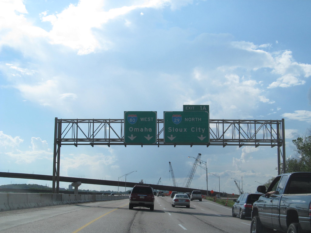
Interstate 29 (I-29) is a significant north-south Interstate Highway in the US state of Iowa, closely paralleling the Missouri River. I-29 enters Iowa from Missouri near Hamburg and heads to the north-northwest through the Omaha-Council Bluffs and Sioux City areas before exiting the state by crossing the Big Sioux River into South Dakota.
For its entire distance through the state, it runs on the flat land between the Missouri River and the Loess Hills. The construction of I-29 was completed in sections over a period of 15 years, with female workers stepping in to build a 20-mile section near Missouri Valley when there was a shortage of male workers.
Between Council Bluffs and Sioux City, I-29 replaced U.S. Highway 75 (US 75) as the major route in western Iowa, leading to the relocation of US 75 south of Sioux City into Nebraska. As a major north-south route in western Iowa, I-29 provides travelers with a conduit to an array of cities and attractions, including parks, museums, and cultural centers.
Interstate 35

Interstate 35 (I-35) is a significant north-south Interstate Highway in the United States that runs from Laredo, Texas, to Duluth, Minnesota. In Iowa, the highway runs from south to north through the center of the state, roughly parallel to U.S. Highway 69 (US 69) and US 65. It enters the state near Lamoni from Missouri and continues north through the southern Iowa drift plain.
In the Des Moines area, I-35 runs concurrently with I-80, and the two highways bypass Des Moines to the west and north. I-235, the only auxiliary route of I-35, serves the suburbs and downtown Des Moines. Near Mason City and Clear Lake, US 18 and Iowa Highway 27 (Iowa 27) overlap with I-35. Shortly after, US 18 splits off to the west in Clear Lake, while Iowa 27 runs with I-35 until they reach the Minnesota state line.
The construction of I-35 in Iowa took place over 17 years, with the first 10-mile-long section of the route opening in 1958 and the last 50-mile-long section connecting the two noncontiguous sections of I-35 opening in 1975. As a major north-south route in central Iowa, I-35 provides travelers with access to a variety of cities and attractions, including parks, museums, and cultural centers.
Interstate 80
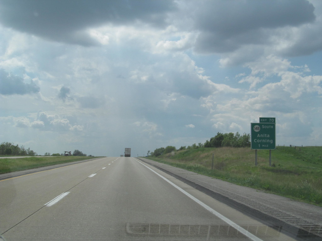
Interstate 80 (I-80) is a transcontinental Interstate Highway in the United States, stretching from San Francisco, California, to Teaneck, New Jersey. In Iowa, the highway travels west to east through the center of the state, entering at the Missouri River in Council Bluffs and heading east through the southern Iowa drift plain.
In the Des Moines metropolitan area, I-80 meets up with I-35, and the two routes bypass Des Moines together before splitting on the northern side of the city, with I-80 continuing east. In eastern Iowa, it provides access to the University of Iowa in Iowa City, and northwest of the Quad Cities in Walcott is Iowa 80, the world’s largest truck stop. I-80 passes along the northern edge of Davenport and Bettendorf and leaves Iowa via the Fred Schwengel Memorial Bridge over the Mississippi River into Illinois.
Before I-80 was planned, the route between Council Bluffs and Davenport, which passed through Des Moines, was vital to the state, with two competing auto trails eventually becoming US Highway 32 (US 32) in 1926. US 6, which had taken the place of US 32, became the busiest highway in the state, and while plans for an Iowa Turnpike were shelved in the early 1950s, the creation of the Interstate Highway System in 1956 led to the construction of I-80. As a major east-west route in Iowa, I-80 provides access to a range of cities and attractions, including parks, museums, and cultural centers.

