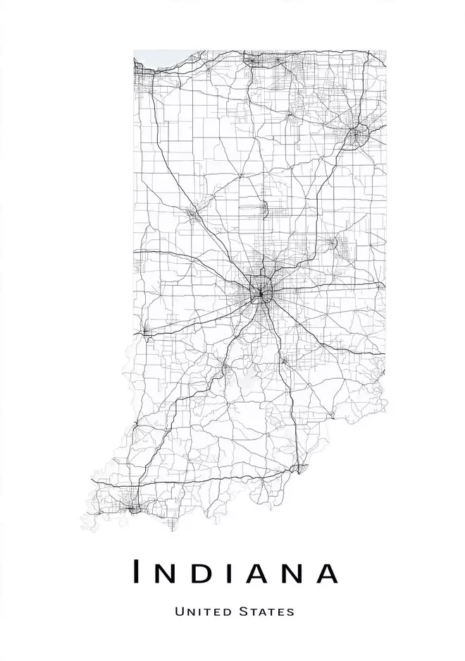
Indiana, located in the Midwestern region of the United States, is a state known for its rich history, charming small towns, and vibrant cities. With its picturesque countryside, bustling urban centers, and diverse culture, Indiana offers a unique blend of nature and culture. To help visitors and residents navigate this beautiful state, we have created a detailed map of Indiana with cities and highways.
This map highlights Indiana’s major cities, including Indianapolis, Fort Wayne, Evansville, and South Bend, as well as its primary highways and roads. Whether you’re planning a road trip or simply want to explore Indiana’s unique landscape and culture, this map is an essential tool. So, grab your map and get ready to discover all that Indiana has to offer, from its historic landmarks to its charming small towns and everything in between.
Printable Indiana Map With Cities and Highways
Cities
Anderson
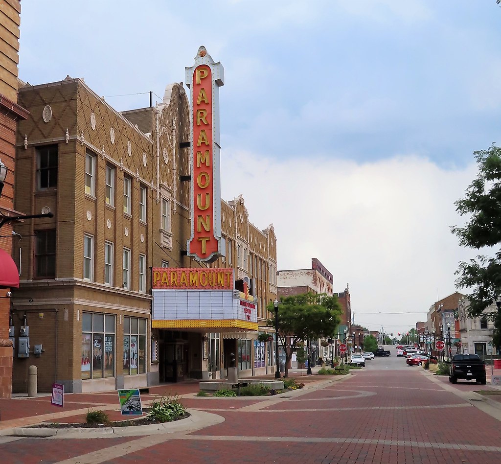
Anderson is a city located in Madison County, Indiana. Named after Chief William Anderson, it serves as the county seat of Madison County. The city is home to the Church of God (Anderson) headquarters and Anderson University, which is affiliated with the Church of God.
Anderson boasts several notable attractions, including the historic Paramount Theatre and the Gruenewald House. The Paramount Theatre is a beautifully restored theater that originally opened in 1929 and now serves as a venue for concerts, plays, and other cultural events. The Gruenewald House is a historic home that was built in 1908 and is now open to the public for tours.
As of the 2020 census, Anderson has a population of 54,788, making it one of the largest cities in the state. With its rich history, cultural attractions, and friendly locals, Anderson is a must-visit destination for anyone traveling to Indiana.
Bloomington
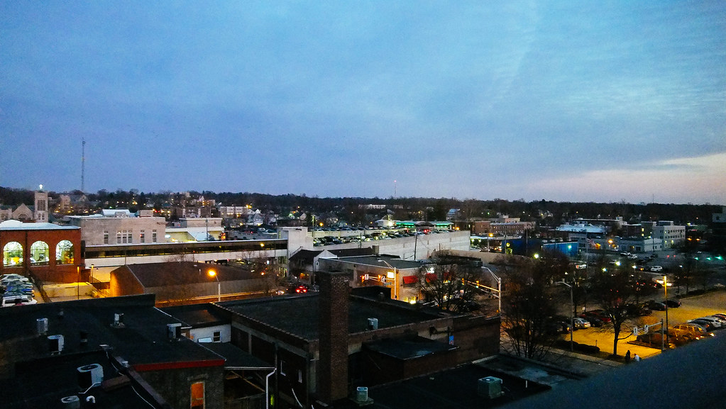
Bloomington is a city located in Monroe County, Indiana, and serves as the county seat. It is the seventh-largest city in Indiana and the fourth-largest outside the Indianapolis metropolitan area. According to the Monroe County History Center, Bloomington is known as the “Gateway to Scenic Southern Indiana”.
The city was established in 1818 by a group of settlers from Kentucky, Tennessee, the Carolinas, and Virginia who were so impressed with “a haven of blooms” that they called it Bloomington. Bloomington is home to Indiana University, one of the largest universities in the United States by enrollment.
The city is also known for its vibrant arts and culture scene, with numerous art galleries, theaters, and music venues throughout the city. As of the 2020 census, Bloomington has a population of 79,168, making it a thriving community with plenty of opportunities for residents and visitors alike. With its scenic beauty, rich history, and vibrant culture, Bloomington is a great destination for anyone traveling to Indiana.
Carmel

Carmel is a suburban city located in Hamilton County, Indiana, United States, immediately north of Indianapolis. With a population of 99,757 as of the 2020 census, the city spans 49 square miles across Clay Township and is bordered by the White River to the east and the Boone County line to the west.
One of the unique features of Carmel is its extensive use of roundabouts. Although Carmel was home to one of the first electronic automated traffic signals in the state, the city constructed 141 roundabouts between 1988 and 2022. The roundabouts have improved traffic flow and safety, making Carmel a model for other cities across the country.
Carmel is also known for its vibrant arts and culture scene, with numerous art galleries, theaters, and music venues throughout the city. In addition, Carmel has a thriving economy, with many businesses and corporations calling the city home. With its beautiful parks, excellent schools, and friendly community, Carmel is a great place to live, work, and visit.
Columbus
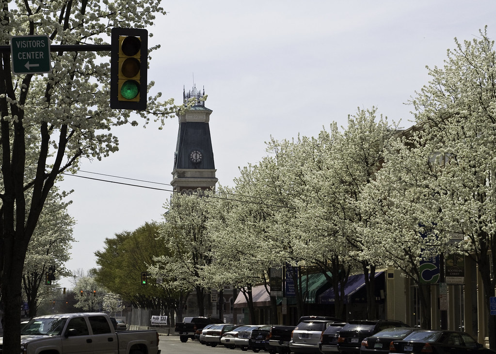
Columbus is a city located in Bartholomew County, Indiana, and serves as the county seat. The city has a population of 50,474 as of the 2020 Census, making it the state’s 20th-largest city.
Despite its size, Columbus is known for its architectural significance, with numerous works of modern architecture and public art commissioned since the mid-20th century. The city’s commitment to modern design and public art is celebrated annually through the Exhibit Columbus program.
Columbus is located about 40 miles south of Indianapolis, on the east fork of the White River, and is the principal city of the Columbus, Indiana metropolitan statistical area, which encompasses all of Bartholomew County. Columbus is also the birthplace of former Indiana Governor and former Vice President of the United States, Mike Pence. With its unique architecture, rich cultural heritage, and friendly community, Columbus is a must-visit destination for anyone traveling to Indiana.
Crown Point

Crown Point is a city located in Lake County, Indiana, and serves as the county seat. The city has a population of 33,899 as of the 2020 census and was incorporated in 1868. Crown Point was first settled on October 31, 1834, by Solon Robinson and his family. Due to its location, Crown Point is known as the “Hub of Lake County”.
The city is surrounded by several other communities, including Merrillville to the north, Winfield to the east, Cedar Lake to the southwest, St. John to the west, and unincorporated Schererville to the northwest. The southern and southwestern parts of Crown Point also border some unincorporated areas of Lake County.
Crown Point is home to several notable attractions, including the historic Lake County Courthouse, which was built in 1878 and is now a museum. With its rich history, friendly community, and convenient location, Crown Point is a fulfilling place to live, work, and visit.
East Chicago
East Chicago is a city located in Lake County, Indiana, United States. The city has a population of 29,698 as of the 2010 census. East Chicago is known for its industrial and manufacturing activity, particularly the Indiana Harbor and Ship Canal, an artificial freshwater harbor that serves as an important transportation hub for the region.
The city is situated along the shores of Lake Michigan, just west of Gary, Indiana, and approximately 18 miles from downtown Chicago, Illinois. East Chicago has a rich history, with a diverse population that includes African-American, Hispanic, and European-American communities.
The city offers numerous recreational opportunities, including parks, golf courses, and sports facilities. With its convenient location, vibrant culture, and industrial heritage, East Chicago is a marvelous place to live, work, and visit.
Evansville
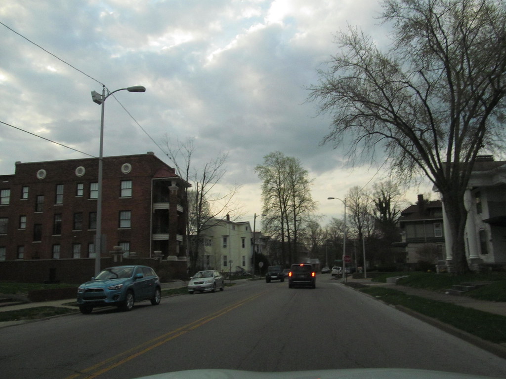
Evansville is a city located in Vanderburgh County, Indiana, United States, and serves as the county seat. The city has a population of 118,414 as of the 2020 census, making it the state’s third-most populous city after Indianapolis and Fort Wayne. Evansville is the largest city in Southern Indiana and the 249th-most populous city in the United States.
It is also the central city of the Evansville metropolitan area, which is home to over 911,000 people and serves as a hub of commercial, medical, and cultural activity in southwestern Indiana and the Illinois-Indiana-Kentucky tri-state area. The 38th parallel crosses the north side of the city and is marked on Interstate 69. Evansville is situated on an oxbow in the Ohio River and is often referred to as the “Crescent Valley” or “River City”.
The area has a rich history, with various indigenous cultures inhabiting the area for millennia, dating back at least 10,000 years. Angel Mounds was a permanent settlement of the Mississippian culture from 1000 AD to around 1400 AD. The European-American city was founded in 1812 and has since grown into a thriving community with a diverse population and numerous cultural attractions.
Fishers
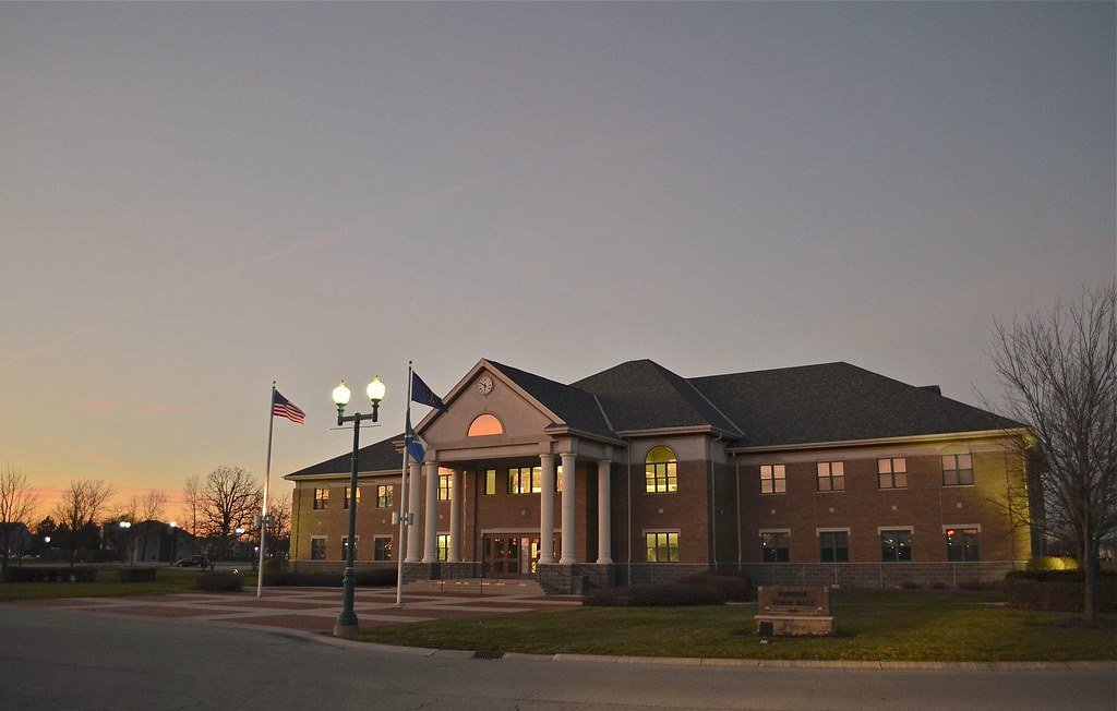
Fishers is a city located in Fall Creek and Delaware townships, Hamilton County, Indiana, United States. As of the 2010 census, the population was 76,794, and by 2019, the estimated population had grown to 95,310. Fishers is a suburb of Indianapolis and has experienced rapid growth in recent decades.
In 1963, only about 350 people lived in Fishers, but by 1980, the population had grown to 2,000. In 1990, the population was only 7,500. After the passage of a referendum on its status in 2012, Fishers transitioned from a town to a city on January 1, 2015.
The first mayor of Fishers, Scott Fadness, and the city’s first clerk and city council were sworn in on December 21, 2014. Fishers is known for its excellent schools, vibrant economy, and family-friendly community. With its convenient location, numerous parks and recreational opportunities, and thriving business community, Fishers is a wonderful place for residents and tourists alike.
Fort Wayne

Fort Wayne is a city located in Allen County, Indiana, United States, and serves as the county seat. The city is located in northeastern Indiana, 18 miles west of the Ohio border and 50 miles south of the Michigan border.
With a population of 263,886 as of the 2020 Census, Fort Wayne is the second-most populous city in Indiana after Indianapolis and the 76th-most populous city in the United States. It is also the principal city of the Fort Wayne metropolitan area, which consists of Allen and Whitley counties and had an estimated population of 423,038 as of 2021.
Fort Wayne is the cultural and economic center of northeastern Indiana. In addition to the two core counties, the combined statistical area (CSA) includes Adams, DeKalb, Huntington, Noble, Steuben, and Wells counties, with an estimated population of 649,105 in 2021. Fort Wayne is home to numerous cultural attractions, including museums, theaters, and art galleries, as well as a thriving business community. With its rich history, friendly community, and vibrant culture, Fort Wayne is a must-visit destination for anyone traveling to Indiana.
Gary
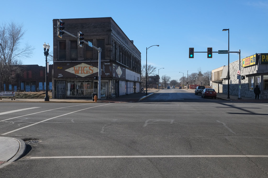
Gary is a city located in Lake County, Indiana, United States. The city has a rich industrial history and is home to U.S. Steel’s Gary Works, the largest steel mill complex in North America. Gary is situated along the southern shore of Lake Michigan, about 25 miles southeast of downtown Chicago, Illinois, and is adjacent to the Indiana Dunes National Park.
The city is within the Chicago metropolitan area and is easily accessible from major highways and public transportation. Gary was named after lawyer Elbert Henry Gary, who was the founding chairman of the United States Steel Corporation. U.S. Steel established the city in 1906 as a company town to serve its steel mills.
Although initially a very diverse city, after white flight in the 1970s, Gary held the nation’s highest percentage of African Americans for several decades. Despite its challenges, Gary has a rich cultural heritage and is home to numerous museums, theaters, and other cultural attractions. With its convenient location and unique history, Gary is a satisfying destination for anyone traveling to Indiana.
Goshen
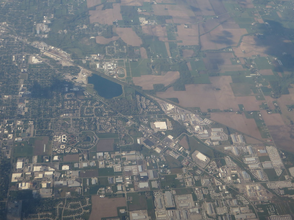
Goshen is a city located in Elkhart County, Indiana, United States, and serves as the county seat. It is the smaller of the two principal cities of the Elkhart-Goshen Metropolitan Statistical Area, which is part of the South Bend-Elkhart-Mishawaka Combined Statistical Area. Goshen is located in the northern part of Indiana near the Michigan border, in a region known as Michiana.
The city is conveniently located 10 miles southeast of Elkhart, 25 miles southeast of South Bend, 120 miles east of Chicago, and 150 miles north of Indianapolis. The population was 34,517 as of the 2020 census. Goshen is known for its vibrant downtown area, which features numerous shops, restaurants, and cultural attractions.
The city is also home to several parks and recreational facilities, including a public golf course and a community center. With its convenient location, friendly community, and vibrant culture, Goshen is a fulfilling destination to live, work, and visit.
Greenfield
Greenfield is a city located in Hancock County, Indiana, United States, and serves as the county seat. The city lies in Center Township and is part of the Indianapolis metropolitan area. With a population of 23,488 as of the 2020 census, Greenfield is a relatively small city that offers a friendly community and a high quality of life.
The city is known for its historic downtown area, which features numerous shops, restaurants, and cultural attractions. Greenfield is also home to several parks and recreational facilities, including a public golf course and a community center.
With its convenient location and friendly community, Greenfield is a wonderful place to reside in or visit. Whether you’re looking for a quiet place to raise a family or a vibrant community to explore, Greenfield has something to offer everyone.
Greenwood
Greenwood is a city located in Johnson County, Indiana, United States. The population was 63,830 as of the 2020 Census. Greenwood is situated southeast of central Indianapolis between Indiana State Road 37 and Interstate 65. The city shares a border with Indianapolis and is the most populous suburban municipality in the southern portion of the Indianapolis Metropolitan Area.
Greenwood is known for its excellent schools, vibrant economy, and family-friendly community. The city offers numerous recreational opportunities, including parks, golf courses, and sports facilities. With its convenient location, thriving business community, and friendly community, Greenwood is a great place to live, work, and visit. Whether you’re looking for a quiet suburban retreat or a vibrant city experience, Greenwood has plenty of attractions in store
Hammond
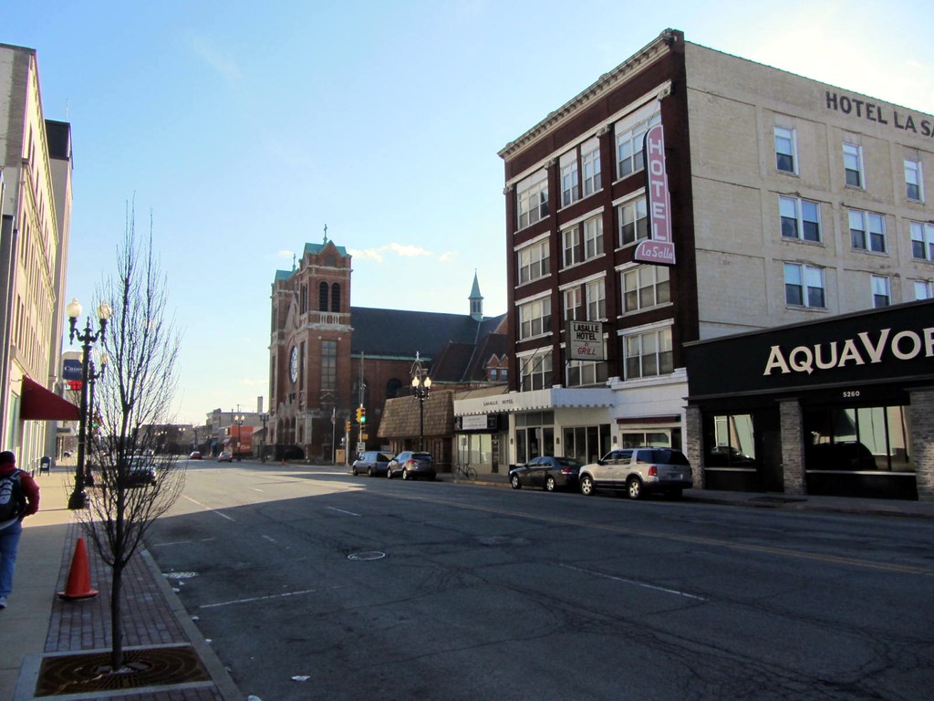
Hammond is a city located in Lake County, Indiana, United States, and is part of the Chicago metropolitan area. It is the only city in Indiana to border Chicago and is one of the oldest cities in northern Lake County, having been first settled in the mid-19th century. As of the 2020 United States census, it is also the largest in population, with a population of 77,879, replacing Gary as the most populous city in Lake County.
Hammond stretches from Lake Michigan down to the Little Calumet River and from east to west along its southern border, it runs from the Illinois state line to Cline Avenue. The city is traversed by numerous railroads and expressways, including the South Shore Line, Borman Expressway, and Indiana Toll Road.
Hammond is known for its industrial heritage, but it is also home to a Purdue University campus and numerous historic districts that showcase the residential and commercial architecture of the early 20th century. Notable local landmarks include the parkland around Wolf Lake and the Horseshoe Hammond riverboat casino. With its convenient location, rich history, and vibrant culture, Hammond is a welcoming spot for anyone traveling to Indiana.
Indianapolis
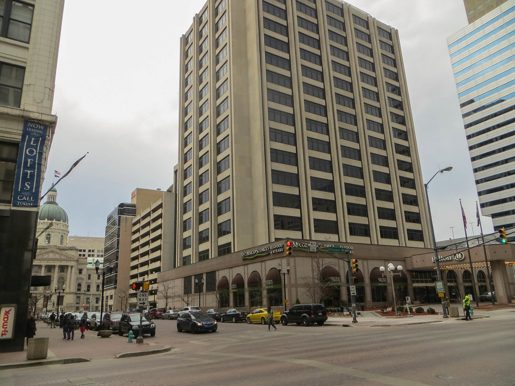
Indianapolis, colloquially known as Indy, is the capital and most populous city of the U.S. state of Indiana and the seat of Marion County. According to the 2020 United States Census, the balance population was 887,642, making it the 16th-most populous city in the U.S. It is the third-most populous city in the Midwest after Chicago and Columbus, Ohio, and the fourth-most populous state capital after Phoenix, Arizona, Austin, Texas, and Columbus.
The Indianapolis metropolitan area is the 33rd-most populous metropolitan statistical area in the U.S., with 2,111,040 residents, while its combined statistical area ranks 28th, with a population of 2,431,361. Indianapolis covers 368 square miles, making it the 18th largest city by land area in the U.S. The city was founded in 1821 as a planned city for the new seat of Indiana’s state government.
Since the 1970 city-county consolidation, known as Unigov, local government administration operates under the direction of an elected 25-member city-county council headed by the mayor. Indianapolis is known for its rich history, vibrant culture, and numerous attractions, including the Indianapolis Motor Speedway, the Children’s Museum of Indianapolis, and the Indianapolis Zoo. With its convenient location, friendly community, and thriving economy, Indianapolis is a marvelous area to live, work, and visit.
Jeffersonville
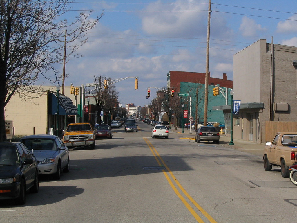
Jeffersonville is a city located in Clark County, Indiana, United States, and serves as the county seat. The city is situated along the Ohio River and is often referred to by the abbreviated name Jeff. It lies directly across the Ohio River to the north of Louisville, Kentucky, along I-65.
The population was 49,447 as of the 2020 census. Jeffersonville has a rich history, having been founded as a settlement around Fort Finney after 1786 and named after Thomas Jefferson in 1801, the year he took office. The city is known for its vibrant downtown area, which features numerous shops, restaurants, and cultural attractions.
Jeffersonville is also home to several parks and recreational facilities, including a public golf course and a community center. With its convenient location, friendly community, and rich history, Jeffersonville is a great place to live, work, and visit. Whether you’re looking for a quiet suburban retreat or a vibrant city experience, Jeffersonville has something to offer everyone.
Kokomo
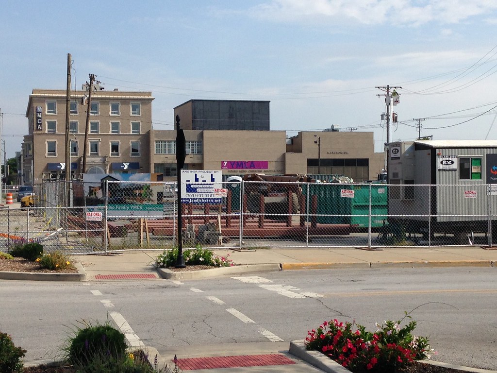
Kokomo is a city located in Indiana and serves as the county seat of Howard County, Indiana, United States. Its population increased from 45,468 at the 2010 census to 59,604 in the 2020 census. It is the principal city of the Kokomo, Indiana Metropolitan Statistical Area, which includes all of Howard County, the Kokomo-Peru CSA, which includes Howard and Miami counties, as well as the North Central Indiana region consisting of six counties anchored by the city of Kokomo.
The city was named after the Miami Ma-Ko-Ko-Mo, who was called “Chief Kokomo.” Kokomo first benefited from the legal business associated with being the county seat. Before the Civil War, it was connected with Indianapolis and then the Eastern cities by railroad, which resulted in sustained growth. Substantial growth came after the discovery of large natural gas reserves, which produced an economic boom in the mid-1880s.
Kokomo became known as the “City of Firsts” due to a significant number of technical and engineering innovations developed in the city, particularly in automobile production. The automobile industry still plays a substantial role in Kokomo’s employment. With its rich history, lively culture, and thriving economy, Kokomo is a satisfying place to live, work, and visit.
Lafayette
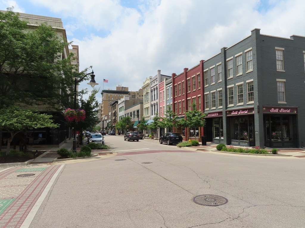
Lafayette is a city located in Tippecanoe County, Indiana, United States, and serves as the county seat. The city is located 63 miles northwest of Indianapolis and 125 miles southeast of Chicago. West Lafayette, located on the other side of the Wabash River, is home to Purdue University, which contributes significantly to both communities.
Together, Lafayette and West Lafayette form the core of the Lafayette metropolitan area, which had a population of 224,709 in the 2021 US Census Bureau estimates. According to the 2020 United States Census, the population of Lafayette was 70,783, a 25% increase from 56,397 in 2000. Meanwhile, the 2020 Census listed the neighboring city of West Lafayette at 44,595 and the Tippecanoe County population at 186,291.
Lafayette is known for its vibrant downtown area, which features numerous shops, restaurants, and cultural attractions. The city is also home to several parks and recreational facilities, including a public golf course and a community center. With its convenient location, friendly community, and thriving economy, Lafayette is a great place to live, work, and visit. Whether you’re looking for a quiet suburban retreat or a vibrant city experience, Lafayette has plenty to offer.
Lawrence
Lawrence is a city located in Marion County, Indiana, United States, and is one of four “excluded cities” in Marion County. The city is home to Fort Benjamin Harrison within Fort Harrison State Park. The population was 49,370 as of the 2020 census.
Lawrence is located on the northeast side of Indianapolis and is known for its friendly community, vibrant culture, and numerous attractions. The city is home to several parks and recreational facilities, including a public golf course and a community center. Lawrence is also home to several shopping centers, restaurants, and cultural attractions, making it a great destination for visitors and residents alike.
With its convenient location, flourishing economy, and friendly community, Lawrence is a great place to live, work, and visit. Whether you’re looking for a quiet suburban retreat or a vibrant city experience, Lawrence will fit the bill.
Merrillville
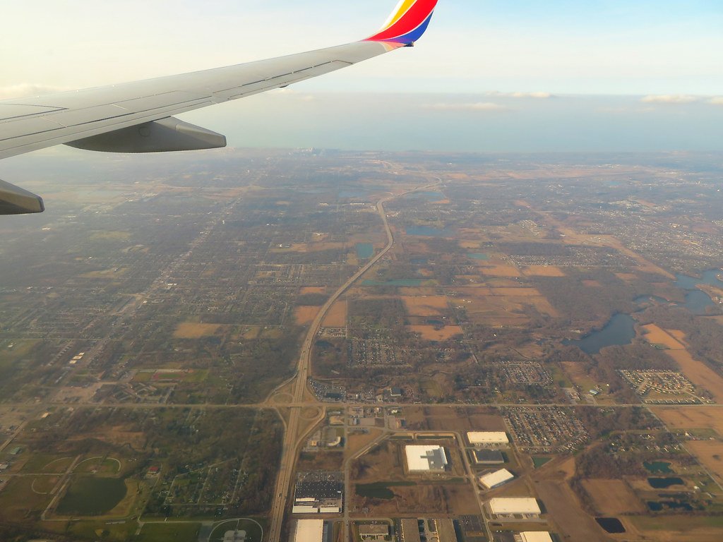
Merrillville is a town located in Ross Township, Lake County, Indiana, United States. The population was 35,246 as of the 2010 census. Merrillville is situated in east-central Lake County, in the Chicago metropolitan area. On January 1, 2015, Merrillville became the most populated town in Indiana, as Fishers in Hamilton County was converted from a town to a city.
The town serves as a major shopping hub for Northwest Indiana, with several shopping centers and retail outlets located within its borders. Merrillville is also home to several parks and recreational facilities, including a public golf course and a community center.
With its great location, robust economy, and welcoming community, Merrillville is a great place to live, work, and visit. Whether you’re looking for a quiet suburban retreat or a bustling commercial center, Merrillville has plenty in store for you.
Michigan City
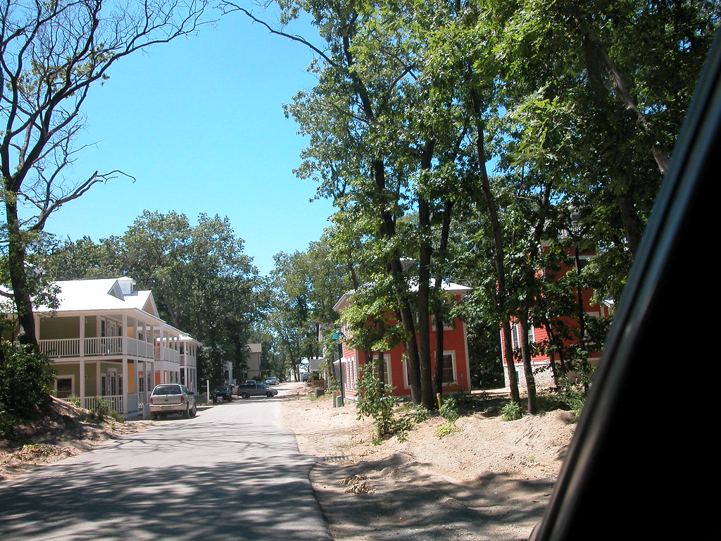
Michigan City is a city located in LaPorte County, Indiana, United States. It is one of the two principal cities of the Michigan City-La Porte, Indiana Metropolitan statistical area, which is included in the Chicago-Naperville-Michigan City Combined statistical area.
The city is situated in the region known to locals as Michiana, about 50 miles east of Chicago and 40 miles west of South Bend. Michigan City had a population of 31,479 as of the 2010 census. The city is known for its beautiful beaches and historic lighthouse, which attract visitors from all over the region. Michigan City is also home to several parks and recreational facilities, including a public golf course and a community center.
With its convenient location, community spirit, and strong economy, Michigan City is a great place to experience. Whether you’re looking for a peaceful beach retreat or a bustling city experience, Michigan City has what you need.
Mishawaka
Mishawaka is a city located on the St. Joseph River in Penn Township, St. Joseph County, Indiana. The population was 51,063 as of the 2020 census. The city is known as “the Princess City” and is a principal city of the South Bend–Mishawaka, IN-MI, Metropolitan Statistical Area. Mishawaka is known for its exciting downtown area, which features numerous shops, restaurants, and cultural attractions.
The city is also home to several parks and recreational facilities, including a public golf course and a community center. Mishawaka is a great place to live, work, and visit, with a friendly community, thriving economy, and convenient location. Whether you’re looking for a peaceful suburban retreat or a bustling city experience, Mishawaka has riches aplenty.
Muncie

Muncie is an incorporated city and the seat of Delaware County, Indiana, United States. Previously known as Buckongahelas Town, named after the legendary Delaware Chief, it is located in East Central Indiana, about 50 miles northeast of Indianapolis. In the 2020 United States Census, the city’s population was 65,195, down from 70,085 in the 2010 Census.
Muncie is the principal city of the Muncie Metropolitan Statistical Area, which encompasses all of Delaware County, and is also included in the Indianapolis–Carmel–Muncie, IN Combined Statistical Area. Muncie is known for its invigorating downtown area, which features numerous shops, restaurants, and cultural attractions.
The city is also home to several parks and recreational facilities, including a public golf course and a community center. With its convenient location, friendly community, and thriving economy, Muncie is a great place to live, work, and visit. Whether you’re looking for a quiet suburban retreat or a bustling city experience, Muncie is waiting for you.
New Albany
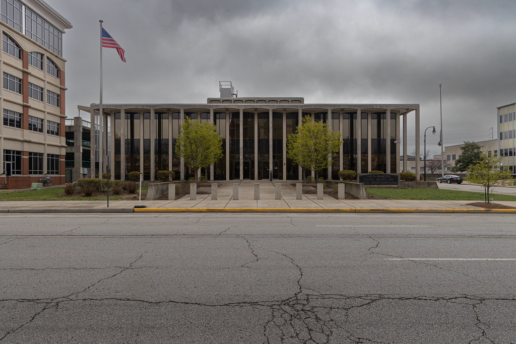
New Albany is a city located in Floyd County, Indiana, United States, situated along the Ohio River, opposite Louisville, Kentucky. The population was 37,841 as of the 2020 census. The city is the county seat of Floyd County and is bounded by I-265 to the north and the Ohio River to the south.
New Albany is considered part of the Louisville, Kentucky Metropolitan Statistical Area. The city is known for its vibrant downtown area, which features numerous shops, restaurants, and cultural attractions. New Albany is also home to several parks and recreational facilities, including a public golf course and a community center.
The mayor of New Albany is Jeff Gahan, a Democrat who was re-elected in 2019. With its great location, friendly spirit, and thriving economy, New Albany is a satisfying place to be. Whether you’re looking for a peaceful suburban retreat or a bustling city experience, New Albany has something to offer everyone.
Plainfield
Plainfield is a town located in Guilford, Liberty, and Washington townships, Hendricks County, Indiana, United States. The population was 27,631 as of the 2010 census, and the estimated population in 2022 is 36,074. Plainfield is known for its friendly community, vibrant culture, and numerous attractions.
The town is home to several parks and recreational facilities, including a public golf course and a community center. Plainfield is also a major commercial center, with several shopping centers and retail outlets located within its borders. With its wonderful location, strong economy, and friendly community, Plainfield is a great place to live, work, and visit. Whether you’re looking for a quiet suburban retreat or a bustling commercial center, Plainfield has you covered.
Portage
Portage is a city located in Portage Township, Porter County, Indiana, United States, on the border with Lake County. The population was 37,926 as of the 2020 census, making it the largest city in Porter County and the third largest in Northwest Indiana. Portage is known for its beautiful beaches and scenic parks, which attract visitors from all over the region.
The city is also home to several shopping centers, restaurants, and cultural attractions, making it a great destination for visitors and residents alike. Portage is a rewarding spot to live, work, and visit, with a friendly community, thriving economy, and convenient location. Whether you’re looking for a peaceful beach retreat or a bustling city experience, Portage has something to offer everyone.
Richmond

Richmond is a city located in eastern Wayne County, Indiana, bordering the state of Ohio. It is the county seat of Wayne County, and in the 2020 census, the city had a population of 35,720. Richmond is the principal city of the Richmond micropolitan area, and its area includes a non-contiguous portion in nearby Boston Township, where Richmond Municipal Airport is located.
The city is known for its rich history and cultural heritage, including its designation as the “cradle of recorded jazz.” Gennett Records, a division of the Starr Piano Company, was the first to record such jazz legends as Louis Armstrong, Bix Beiderbecke, and Jelly Roll Morton. Richmond has also twice received the All-America City Award, most recently in 2009, in recognition of its strong community spirit and commitment to civic engagement.
With its vibrant arts scene, friendly community, and convenient location, Richmond is a great place to live, work, and visit, whether you’re interested in exploring the city’s rich history or enjoying its many cultural attractions.
South Bend
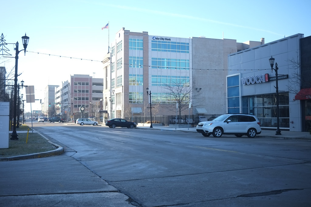
South Bend is a city located in and the county seat of St. Joseph County, Indiana, United States, on the St. Joseph River near its southernmost bend, from which it derives its name. At the 2020 census, the city had a total of 103,453 residents, making it the fourth-largest city in Indiana. The metropolitan area had a population of 324,501 in 2020, while its combined statistical area had 812,199.
The city is located just south of Indiana’s border with Michigan. South Bend has a rich history, having been settled in the early 19th century by fur traders and established as a city in 1865. The St. Joseph River played a crucial role in shaping South Bend’s economy through the mid-20th century, with river access facilitating the development of heavy industry such as the Studebaker Corporation, the Oliver Chilled Plow Company, and other large corporations.
Today, South Bend is known for its vivacious arts scene, cultural world, and diverse community. With its convenient location and thriving economy, South Bend is a great place to live, work, and visit. Whether you’re looking for a peaceful suburban retreat or a bustling city experience, South Bend has something to offer everyone.
Terre Haute
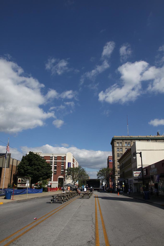
Terre Haute is a city located in and the county seat of Vigo County, Indiana, United States, about 5 miles east of the state’s western border with Illinois. As of the 2020 census, the city had a population of 58,389, and its metropolitan area had a population of 168,716. Terre Haute is known for its rich history and cultural heritage, as well as its location along the Wabash River.
The city is often referred to as the Queen City of the Wabash and is home to multiple higher-education institutions, including Indiana State University, Rose-Hulman Institute of Technology, and Ivy Tech Community College of Indiana. Terre Haute has a vibrant arts scene, with numerous galleries, theaters, and cultural attractions.
The city is also home to several parks and recreational facilities, including a public golf course and a community center. With its friendly community, convenient location, and thriving economy, Terre Haute is a fulfilling area to reside, work, and visit.
Valparaiso
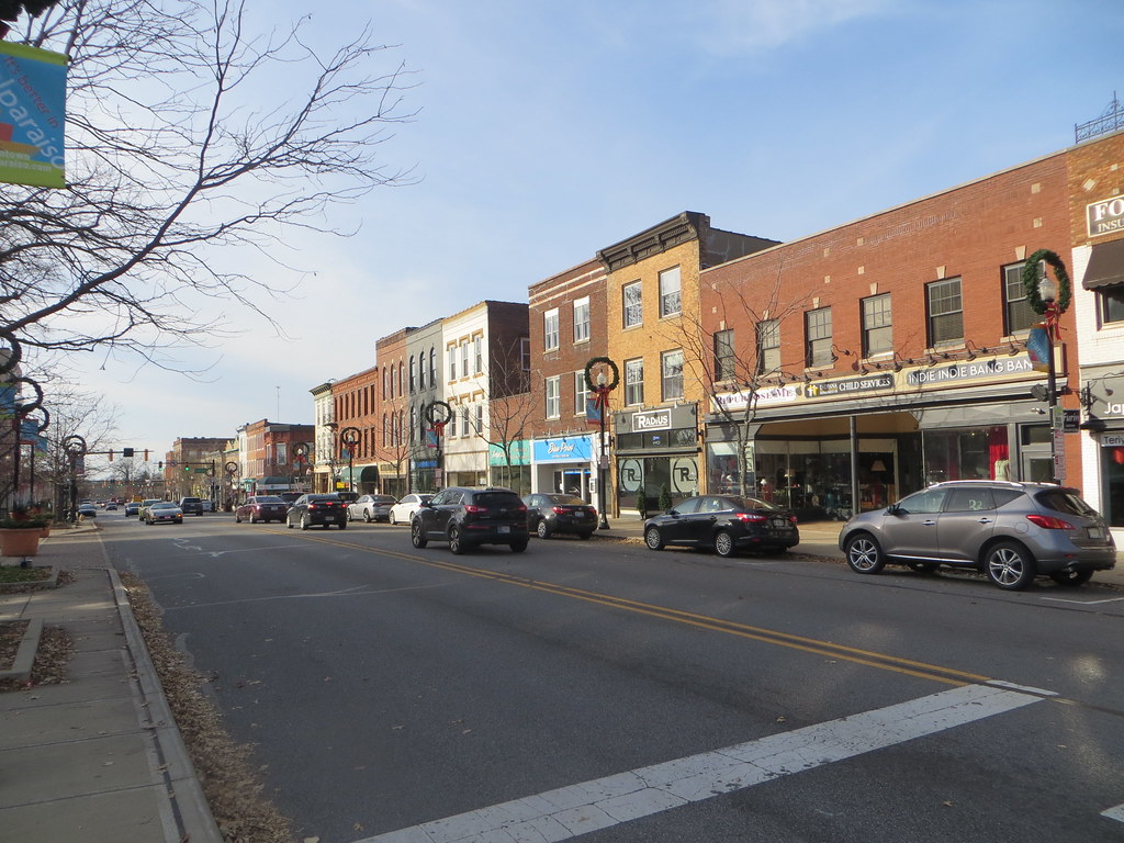
Valparaiso, colloquially known as Valpo, is a city located in and the county seat of Porter County, Indiana, United States. The population was 34,151 as of the 2020 census. Valparaiso is known for its beautiful downtown area, which features numerous shops, restaurants, and cultural attractions.
The city is home to a number of parks and recreational facilities, including a public golf course and a community center. Valparaiso is also a major educational center, with several colleges and universities located within its borders, including Valparaiso University, Ivy Tech Community College, and Purdue University Northwest.
With its welcoming community, agreeable location, and flourishing economy, Valparaiso is a marvelous place to live, work, and visit. Whether you’re looking for a peaceful suburban retreat or a bustling city experience, Valparaiso will suit your needs.
West Lafayette
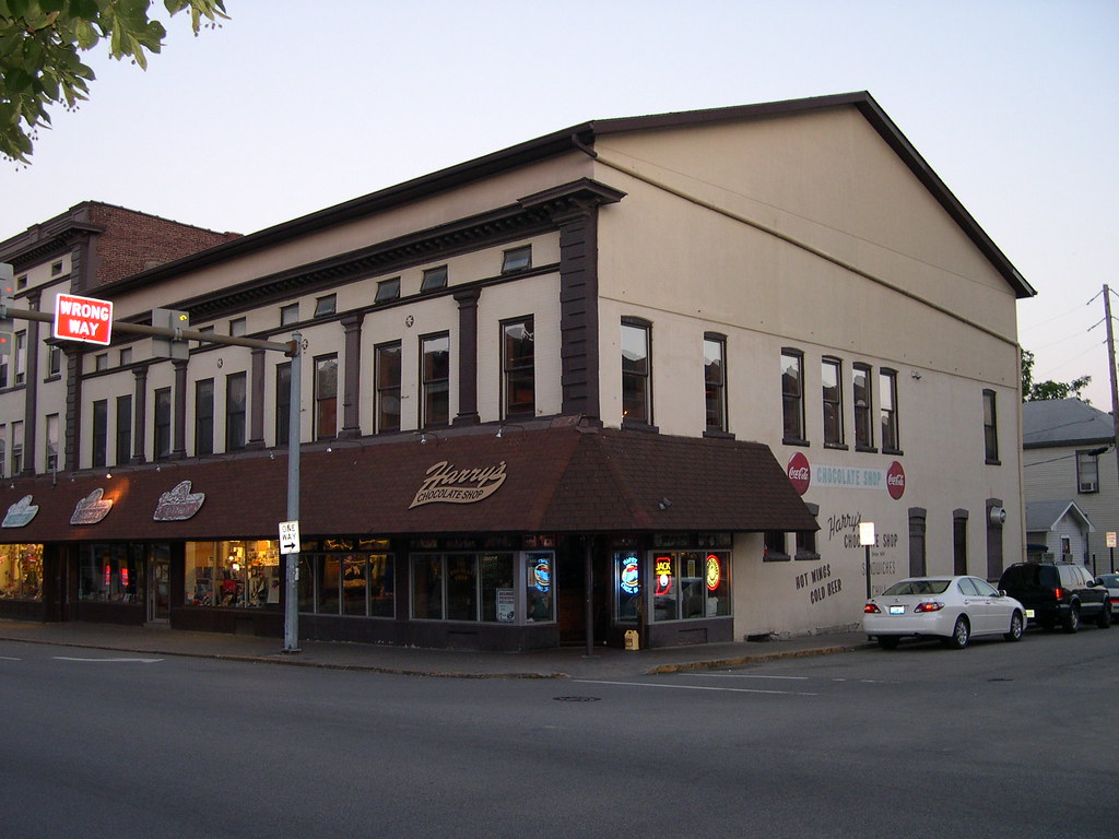
West Lafayette is a city located in Wabash Township, Tippecanoe County, Indiana, United States, about 65 miles northwest of the state capital of Indianapolis and 113 miles southeast of Chicago. West Lafayette is directly across the Wabash River from its sister city, Lafayette. As of the 2020 census, its population was 44,595.
The city is known as a vibrant college town and is home to Purdue University, one of the largest and most prestigious universities in the United States. West Lafayette is the most densely populated city in Indiana and is known for its lively arts scene, cultural attractions, and numerous recreational opportunities.
The city is also home to several parks and public spaces, including Happy Hollow Park and the Celery Bog Nature Area. With its friendly community, convenient location, and thriving economy, West Lafayette is a marvelous place to experience. Whether you’re interested in exploring the city’s rich cultural heritage or enjoying its many recreational opportunities, West Lafayette is waiting for you.
Highways
Route 6
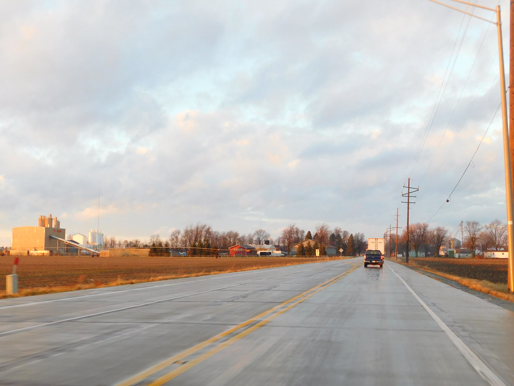
U.S. Route 6 (US 6) is an important highway that runs through Indiana as part of the Indiana state road system. It enters the state concurrent with the Borman Expressway between Lansing, Illinois, and Munster, Indiana and covers 149 miles (240 km) within the state.
The highway passes through rural farm fields and forestlands, as well as urbanized areas with four-lane divided highways. Various sections of the highway are listed on the National Highway System, and it is included in the Grand Army of the Republic Highway.
US 6 was first designated as a U.S. Route in 1932, and it replaced the original State Road 17 (SR 17) designation of the highway which dated back to the formation of the Indiana state road system. US 6 also replaced the second designation of the highway, State Road 6 (SR 6), through most of the state. The easternmost community along the highway is Butler at the Ohio state line.
Route 20

U.S. Route 20 (US 20) in Indiana is a major east-west highway that runs parallel to the Indiana Toll Road. The highway starts at the Illinois state line and ends at the Ohio state line. US 20 runs through several cities in Northwest Indiana, including Whiting, East Chicago, and Gary, where it is concurrent with US 12 twice.
The route varies between one-way, two-lane, and four-lane streets. From the east side of Gary to the west of South Bend, US 20 is a four-lane undivided highway. The route then heads around the west and south sides of South Bend and Elkhart as a four-lane limited access divided highway.
East of State Road 15 (SR 15), US 20 becomes a two-lane rural highway. The highway is an important conduit for both passenger and commercial traffic, connecting several major cities and towns in northern Indiana.
Route 24

U.S. Route 24 (US 24) in Indiana is an important east-west highway that runs from the Illinois state line to Huntington. From Huntington, US 24 turns northeast and continues to Fort Wayne, where it runs concurrently with Interstate 69 (I-69) and I-469 to bypass the city before entering Ohio at the state line east of Fort Wayne.
The highway passes through several cities and towns in northern Indiana, including Logansport, and is an important conduit for both passenger and commercial traffic. The segment of US 24 between Logansport and Toledo, Ohio is part of the Hoosier Heartland Industrial Corridor project of the Intermodal Surface Transportation Efficiency Act.
The project aims to improve transportation infrastructure and promote economic development in the region. With its convenient location and important role in the state’s transportation network, US 24 is a vital artery for both local and regional traffic in Indiana.
Route 27
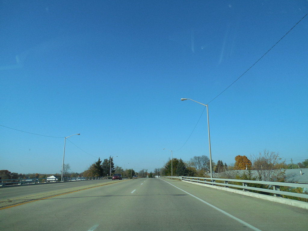
US Highway 27 (US 27) is a State Road in Indiana that is part of the United States Numbered Highway System. The highway runs from Miami, Florida, to Fort Wayne in Indiana, covering a distance of 117.78 miles (189.55 km) within the state.
US 27 enters Indiana in College Corner, Ohio, and West College Corner, Indiana, and serves as a major conduit for both passenger and commercial traffic. Most of the highway is listed on the National Highway System, and various sections are rural two-lane highway or urbanized four-lane divided highway.
The northernmost community along the highway is Fort Wayne in the northeast part of the state. The highway ends at an interchange with Interstate 69 (I-69) north of downtown Fort Wayne after serving the east-central and northeast regions of Indiana. With its important role in the state’s transportation network, US 27 is a vital artery for both local and regional traffic in Indiana.
Route 30
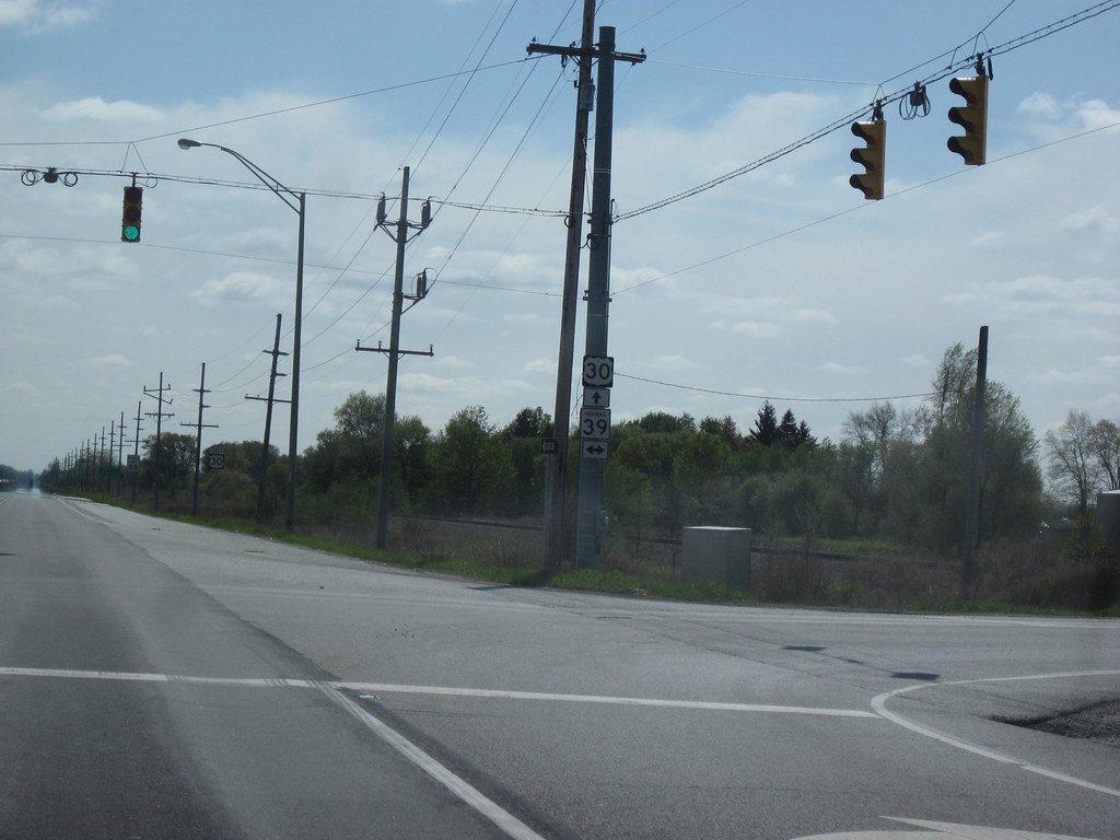
U.S. Route 30 (US 30) is an important highway in Indiana that runs from the Illinois state line at Dyer to the Ohio state line east of Fort Wayne and New Haven. The 155.96 miles (250.99 km) of US 30 that lie within Indiana serve as a major conduit for both passenger and commercial traffic. The entire length of US 30 in Indiana is included in the National Highway System (NHS).
The highway includes four-lane, rural sections, an urbanized, four-lane divided expressway, and several high-traffic, six-lane freeway areas. US 30 was first designated as a US Highway in 1926, and it replaced the original State Road 2 (SR 2) and SR 44 designation of the highway which dated back to the formation of the Indiana State Road system.
A section of the highway originally served as part of the Lincoln Highway. Realignment and construction projects have expanded the highway to four lanes across the state, and the road is now part of a long stretch of US 30 from New Lenox, Illinois, to Canton, Ohio, where the road has at least four lanes (excluding ramps). Despite its importance, there are over 40 traffic signals between I-65 at Merrillville and I-69 at Fort Wayne.
Route 31
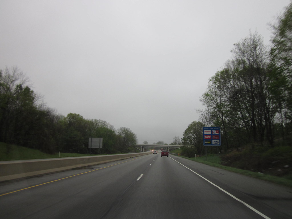
U.S. Route 31 (US 31) is an important highway that runs through Indiana as part of the United States Numbered Highway System. The highway enters Indiana via the George Rogers Clark Memorial Bridge between Louisville, Kentucky, and Clarksville, Indiana, and covers a distance of 266.02 miles (428.12 km) within the state.
US 31 serves as a major conduit for both passenger and commercial traffic, with various sections listed on the National Highway System. The highway includes rural two-lane sections and urbanized four- or six-lane divided expressways. The northernmost community along the highway is South Bend near the Michigan state line.
US 31 was first designated as a US Highway in October 1926, and it replaced the original State Road 1 (SR 1) designation of the highway which dated back to the formation of the Indiana State Road system. SR 1 ran from Clarksville through Indianapolis to South Bend and ended at the Michigan state line. With its important role in the state’s transportation network, US 31 is a vital artery for both local and regional traffic in Indiana.
Route 33

U.S. Route 33 (US 33) is a State Road in Indiana that is part of the United States Numbered Highway System. The highway runs from Richmond, Virginia, to Elkhart in Indiana, covering a distance of 106.217 miles (170.940 km) within the state. US 33 enters Indiana at the Ohio state line between Willshire, Ohio, and Pleasant Mills, Indiana, and serves as a major conduit for both passenger and commercial traffic.
All of the highway is listed on the National Highway System, and various sections are rural two-lane highway, urbanized four-lane divided expressway, and the Lincoln Highway. The northernmost community along the highway is Elkhart. The highway ends at an interchange in southern Elkhart after serving the northeastern region of Indiana. US 33 passes through farm fields and urban areas.
US 33 was first designated as a U.S. Highway in 1937, and a section of the highway originally served as part of the Lincoln Highway, a connection between Fort Wayne and South Bend. US 33 replaced some of the original State Road 2 (SR 2) designation of the highway which dated back to the formation of the Indiana State Road system. Realignments and construction projects have expanded the highway to four lanes, making it a vital artery for both local and regional traffic in Indiana.
Route 35
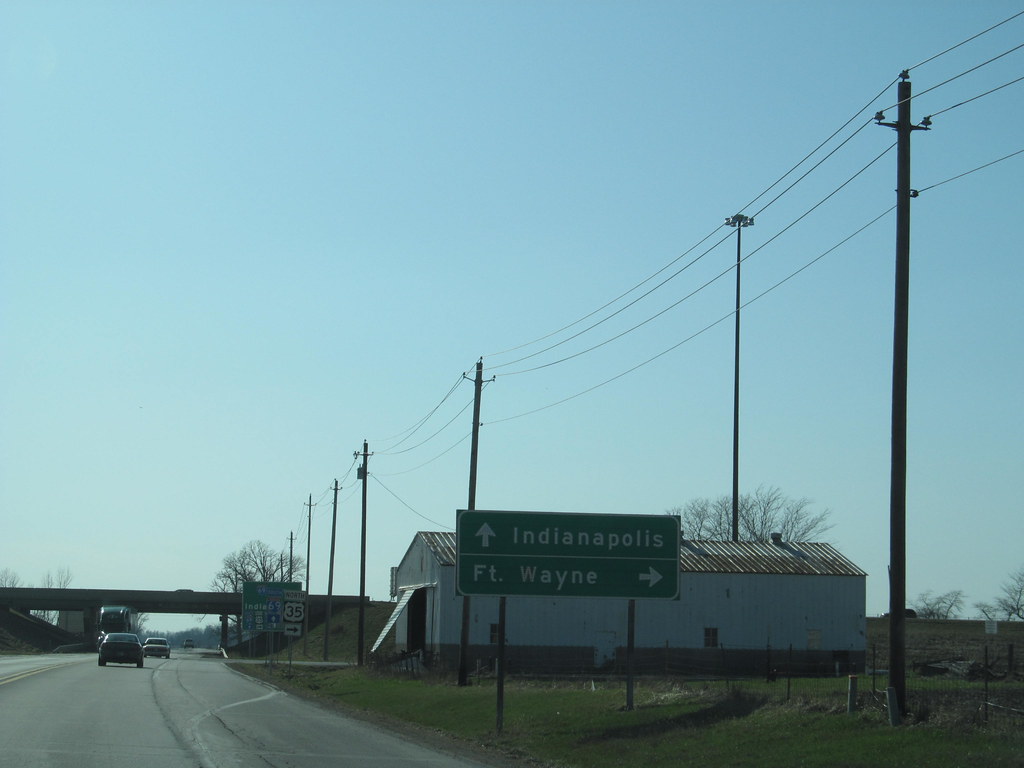
U.S. Route 35 (US 35) is an important highway that enters Wayne County, Indiana with I-70 and passes north of Richmond before splitting off on the northwest side of the city. The highway then travels in a northwesterly path as a winding two-lane road, passing through agricultural land, and through intersections with State Road 38 (SR 38), SR 1, and, in Randolph County, US 36.
The highway passes through a corner of Henry County with no major junctions. In Delaware County, the highway merges with SR 3 and SR 67 as a four-lane expressway on the edge of the city of Muncie. The expressway heads north, passing over the White River and through interchanges with Memorial Drive and SR 32 in Muncie. Continuing along the east edge of Muncie, there are several intersections with local roads.
Northeast of Muncie, SR 67 splits off the expressway at an interchange, followed by a partial interchange with Old State Road 3, leading back into Muncie. Soon after, the expressway ends, and the roadway becomes a two-lane highway. Near the town of Royerton, US 35 turns west onto SR 28, toward I-69, as SR 3 continues north. After a short overlap with SR 28, US 35 turns north onto I-69. With its important role in connecting cities and towns in eastern Indiana, US 35 is a key artery for both local and regional traffic.
Route 36
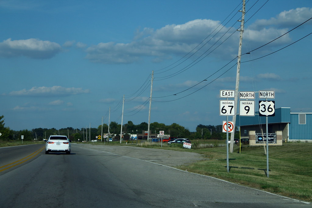
U.S. Route 36 (US 36) is an important highway that runs through Indiana as part of the United States Numbered Highway System. The highway runs from Rocky Mountain National Park, Colorado to Uhrichsville, Ohio, and in the state of Indiana, it is part of the Indiana State Road system that runs across the central portion of the state from the Illinois state line near Dana to the Ohio state line near Spartanburg.
In the Indianapolis area, US 36 overlaps the southern section of Interstate 465 (I-465), bypassing the downtown area where the route formerly went. With its principal role in connecting cities and towns in central Indiana, US 36 is a major artery for both local and regional traffic.
Route 40

U.S. Route 40 (US 40) is an important highway that enters Indiana from the west at unincorporated Liggett along with I-70. The highway leaves the interstate at exit 11 and heads north through the east side of Terre Haute with SR 46. Upon leaving Terre Haute, US 40 passes through the small towns of Seelyville, Brazil, Knightsville, and Harmony.
Between Seelyville and Brazil, the road bypasses several small unincorporated communities which are served by State Road 340, a former alignment of US 40. The highway continues to the northeast beyond Harmony, passing many unincorporated places such as Reelsville, Pleasant Gardens, Manhattan, Putnamville, Mount Meridian, Stilesville, and Belleville along the way to Plainfield, a suburb of Indianapolis.
In Plainfield, US 40 is Main Street and passes The Shops at Perry Crossing and a nostalgic stainless steel diner. Upon leaving Plainfield, US 40 becomes Washington Street, where it passes by the northern edge of Indianapolis International Airport. After passing the airport, US 40 is now routed onto Interstate 465 Southbound on the west side of Indianapolis.
This route bypasses downtown Indianapolis and instead goes through the southern part of the city. The old alignment of US 40 passed through downtown Indianapolis, crossing White River on a bridge that is now pedestrian-only and part of White River State Park. Along the eastern edge of Indianapolis, US 40 leaves I-465 at Exit 46 and is once again routed onto Washington Street. With its important role in connecting cities and towns in western and central Indiana, US 40 is a vital artery for both local and regional traffic.
Route 41
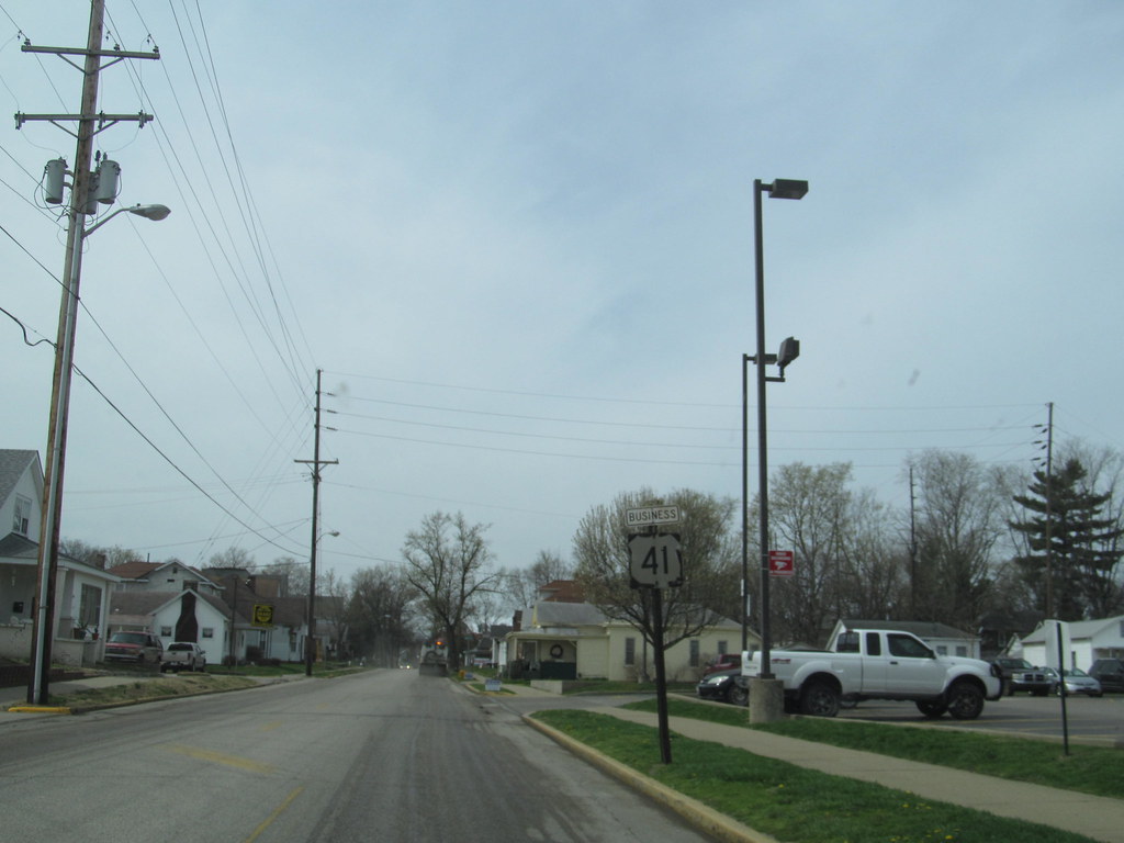
U.S. Route 41 (US 41) is a prominent north-south highway in the state of Indiana that runs parallel to the Illinois state line. The highway enters the state south of Evansville as a four-lane divided highway, passing around Vincennes and traveling north to Terre Haute. In Terre Haute, it is known as 3rd Street. North of Terre Haute, it hooks east and becomes a two-lane surface road.
Those wanting to stay on a four-lane divided highway can use State Road 63 to the west. The highway passes through Rockville, Veedersburg, and Attica before returning to a four-lane divided highway when SR 63 terminates in Warren County.
It remains a four-lane divided highway until Lake County, where it becomes a main road known as Indianapolis Boulevard. US 41 overlaps US 12 and US 20 in Hammond and exits Indiana into the South Side of Chicago. With its vital role in connecting cities and towns in western and northwestern Indiana, US 41 is a chief artery for both local and regional traffic.
Route 50
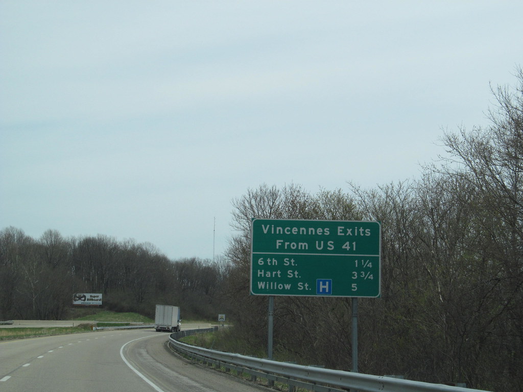
U.S. Route 50 (US 50) is an important highway that is part of the United States Numbered Highway System, running from West Sacramento, California, to Ocean City, Maryland. In the state of Indiana, it is part of the state road system, entering the state in Vincennes.
The 171.38 miles (275.81 km) of US 50 that lie within Indiana serve as a major conduit, and all of the highway is listed on the National Highway System. Various sections of the highway are rural two-lane roads, urbanized four-lane undivided highways, and one-way streets. US 50 passes through urban areas, farmland, and woodland, making it an important neighborhood route.
The easternmost community along the highway is Lawrenceburg at the Ohio state line. With its important role in connecting cities and towns in southern Indiana, US 50 is a vital artery for local and regional traffic.
Route 52
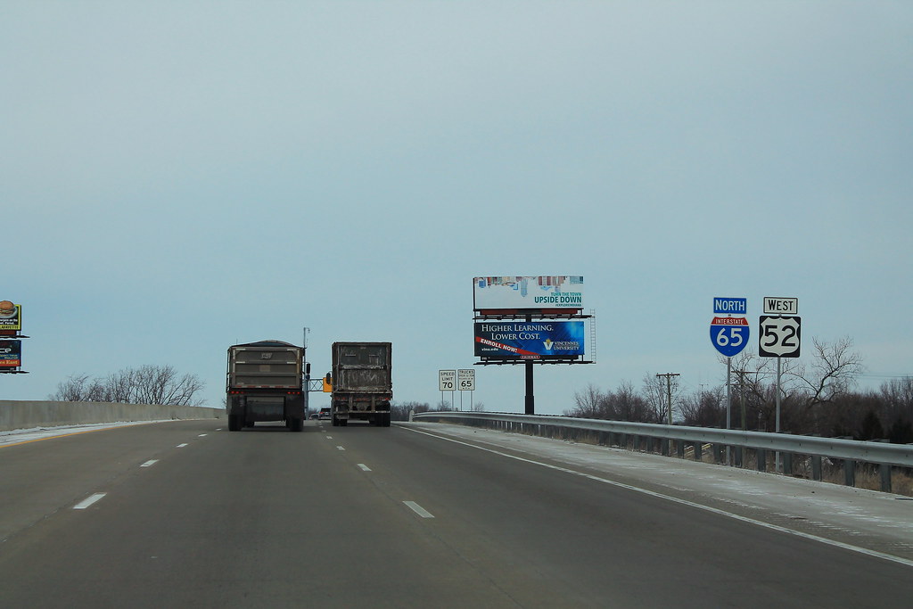
U.S. Route 52 (US 52) in Indiana runs in a northwest-southeast direction, passing through Lafayette and Indianapolis. Northwest of Indianapolis, US 52 runs along the same general area as, and is considered an alternative route to, I-65. In the Indianapolis area, it is overlapped with I-865 and I-465. East of Indianapolis, it is considered an alternative to I-74 before joining it near the Ohio border.
When US 52 went through Downtown Indianapolis, it went onto Brookville Road, then turned left onto English Avenue. It then joined US 421 when it turned onto Southeastern Avenue. US 52/US 421 joined US 40 when it turned onto Washington Street. It then split into Washington Street (westbound) and Maryland Street (eastbound). US 52 then turned onto West Street (from West Street, it turned onto Maryland Street).
US 52 turned on 16th Street, where it would overlap US 136. It then turned onto Lafayette Road, which became Indianapolis Road when reaching Zionsville. With its important role in connecting cities and towns in central Indiana, US 52 is a key channel for both local and regional traffic.
Route 136
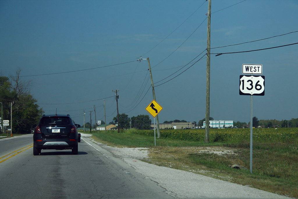
U.S. Route 136 (US 136) is an important highway that is part of the United States Numbered Highway, running from Edison, Nebraska to Speedway, Indiana. In Indiana, it is part of the Indiana State Road system that enters between Danville, Illinois, and Foster, Indiana. The 75.30 miles (121.2 km) of US 136 that lie within Indiana serve as a major conduit, with some sections of the highway listed on the National Highway System.
Various sections of the highway are rural two-lane roads and urbanized four-lane divided highways. The easternmost community along the highway is Speedway, near Indianapolis. US 136 passes through farm fields and woodlands, making it an important route for both local and regional traffic.
The highway was first designated as a US Highway in 1932, replacing the original State Road 33 designation of the highway which dated back to the formation of the Indiana state road system. US 136 also replaced the second designation of the highway, State Road 34 from the Illinois state line to Crawfordsville to Brownsburg and ended in Indianapolis.
Route 150
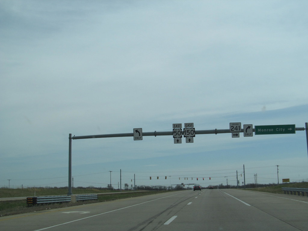
U.S. Route 150 (US 150) in Indiana is an important east-west highway that travels 176.315 miles (283.751 km) from the Illinois state line east of Paris, Illinois to Louisville, Kentucky at the Kentucky state line. A section of US 150 from New Goshen to Vincennes travels north-south instead of east-west. US 150 travels concurrently with its parent route, US 50, from Vincennes to Shoals.
Between West Terre Haute and Terre Haute, US 150 travels along part of the historic National Road. Additionally, from Vincennes to New Albany, the route is designated as part of Indiana’s Historic Pathways, as it roughly parallels what was then part of the Buffalo Trace. With its important role in connecting cities and towns in southern Indiana, US 150 is an important channel for local and regional traffic.
Route 224
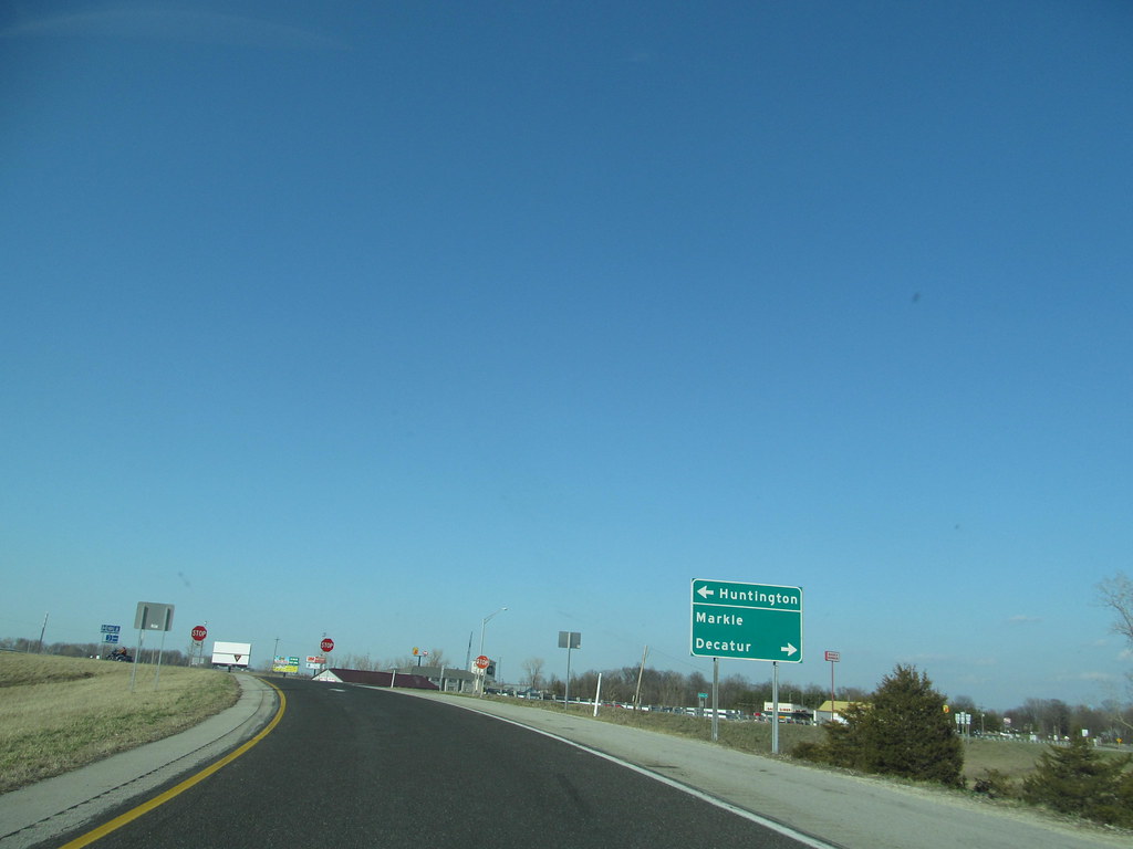
U.S. Route 224 (US 224) in Indiana is an important highway that heads southeast from its western terminus at US 24, concurrent with State Road 5 (SR 5). US 224 and SR 5 pass through downtown Huntington as one-way streets, with eastbound on Cherry Street and State Street and westbound on Warren Street.
From downtown, US 224 and SR 5 head southeast, with SR 5 heading due south and US 224 heading east outside of downtown. US 224 passes through Markle, where it has an interchange with Interstate 69 (I-69) and intersections with both SR 116 and SR 3.
US 224 heads east towards Decatur, passing through intersections with SR 301 and SR 1. In Decatur, US 224 has a short concurrency with US 27 and US 33 before heading east towards Ohio, passing through a short concurrency with SR 101. The only section of US 224 in Indiana that is included in the National Highway System is the part concurrent with US 27 and US 33. With its important role in connecting cities and towns in northeastern Indiana, US 224 is a chief artery for both local and regional traffic.
Route 231
U.S. Route 231 (US 231) is an important north-south highway in the western part of Indiana, covering over 284 miles (457 km) and making it the longest-numbered highway in the state. The highway runs from its southern terminus at the Kentucky state line to its northern terminus at US 41 just south of St. John.
US 231 is a mixture of expressway and two-lane roadway, with the expressway portions mainly in southern Indiana and around the Lafayette area, while the rest of the highway is mainly two lanes. With its strong role in connecting cities and towns in western Indiana, US 231 is a marvelous conduit for both local and regional traffic.
Route 421
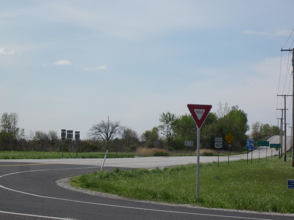
U.S. Route 421 (US 421) is an important highway that enters Indiana from Kentucky, proceeding northwest to Indianapolis, joining Interstate 465, and then continuing northwest to Michigan City. The highway winds through the southern part of Indiana as it runs from Madison, in the southeastern part of the state, to Indianapolis (the capital). North of Greensburg, US 421 intersects and merges with I-74 west, through the Shelbyville area en route to Indianapolis.
Originally, US 421 followed Michigan Road into Indianapolis, which turns into Southeastern Avenue and heads to downtown. US 421 then merged with US 40 (Washington St.) and headed to West Street, then turned north, following West Street, Northwestern Avenue (later Martin Luther King Jr. Street), and Michigan Road up to the northwest side of the city, passing an Indianapolis landmark, the Pyramids.
North of Indianapolis, US 421 continues to the north-northwest, providing a direct highway link between Indianapolis and Michigan City. US 421 ends at its junction with US 20 on the south side of Michigan City. With its important role in connecting cities and towns in central and northern Indiana, US 421 is a vital artery for both local and regional traffic.
Interstates
Interstate 65
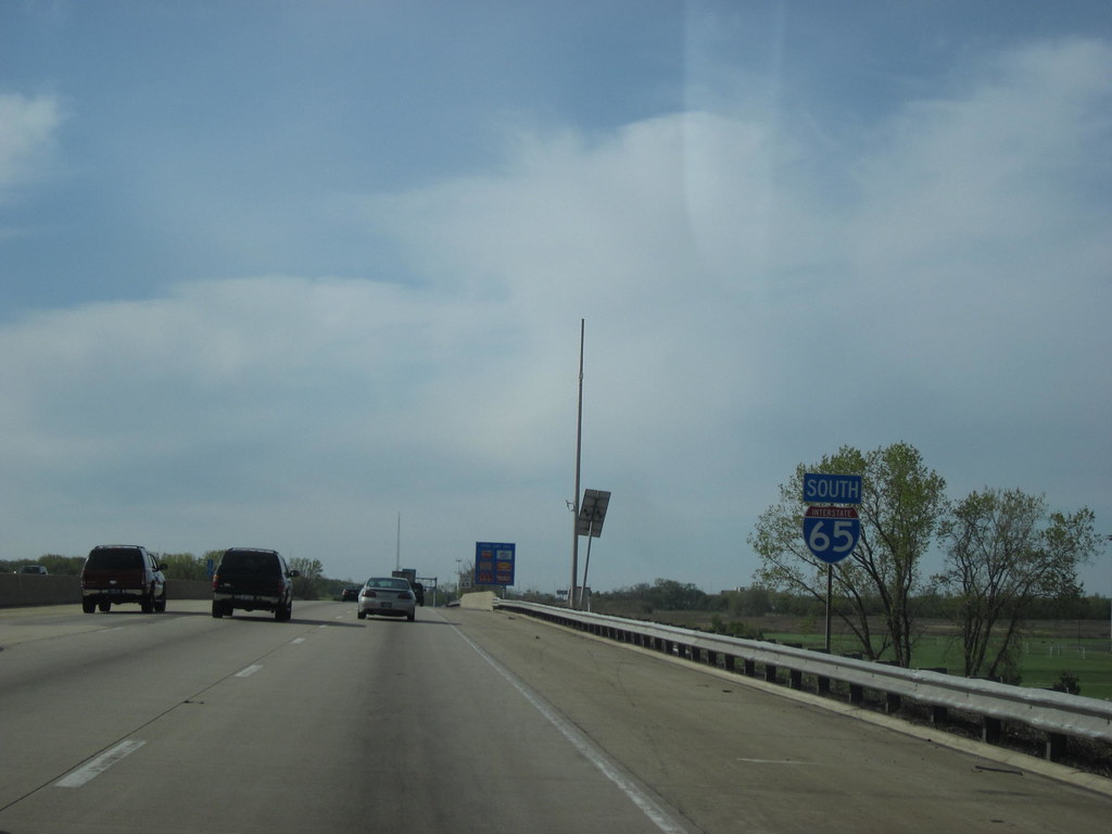
Interstate 65 (I-65) is an important highway that traverses the US state of Indiana, running from the south-southeastern Falls City area bordering Louisville, Kentucky, through the centrally located capital city of Indianapolis, to the northwestern Calumet Region of the Hoosier State which is part of the Chicago metropolitan area.
The Indiana portion of I-65 begins in Jeffersonville after crossing the Ohio River and travels mainly north, passing just west of Columbus prior to reaching the Indianapolis metro area. Upon reaching Indianapolis, the route alignment of I-65 begins to run more to the northwest and subsequently passes Lafayette on that city’s east and north sides.
Northwest of there, in west-central Jasper County, the route again curves more northward as it approaches the Calumet Region. Shortly after passing a major junction with I-80 and I-94, I-65 reaches its northern national terminus in Gary at I-90 which is carried on the Indiana East–West Toll Road.
Covering 261.27 miles (420.47 km) in the state of Indiana, I-65 is one of the principal Interstate Highways that cross the state, and, more specifically, intersect at the city of Indianapolis, giving the state the nickname of “Crossroads of America”. With its important role in connecting cities and towns in central and northern Indiana, I-65 is a great channel for both local and regional traffic.
Interstate 70
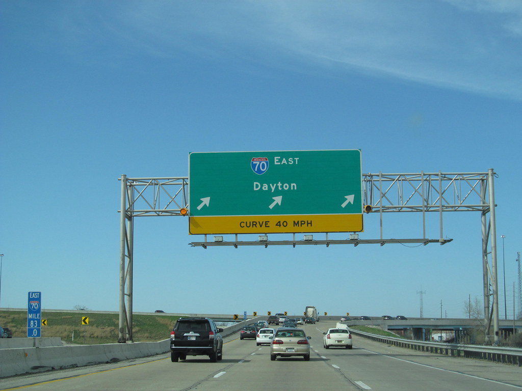
Interstate 70 (I-70) is an important highway that travels east-west across the central portion of the US state of Indiana, passing through the capital of Indianapolis. I-70 crosses from Illinois into Indiana near Terre Haute and departs into Ohio at Richmond, covering 156.6 miles (252.0 km) in the state of Indiana.
The highway parallels U.S. Highway 40 (US 40), the old National Road, except for the first approximately 11 miles (18 km) in which the two routes overlap. With its important role in connecting cities and towns in central Indiana, I-70 is a key conduit for local and regional traffic.
Interstate 74
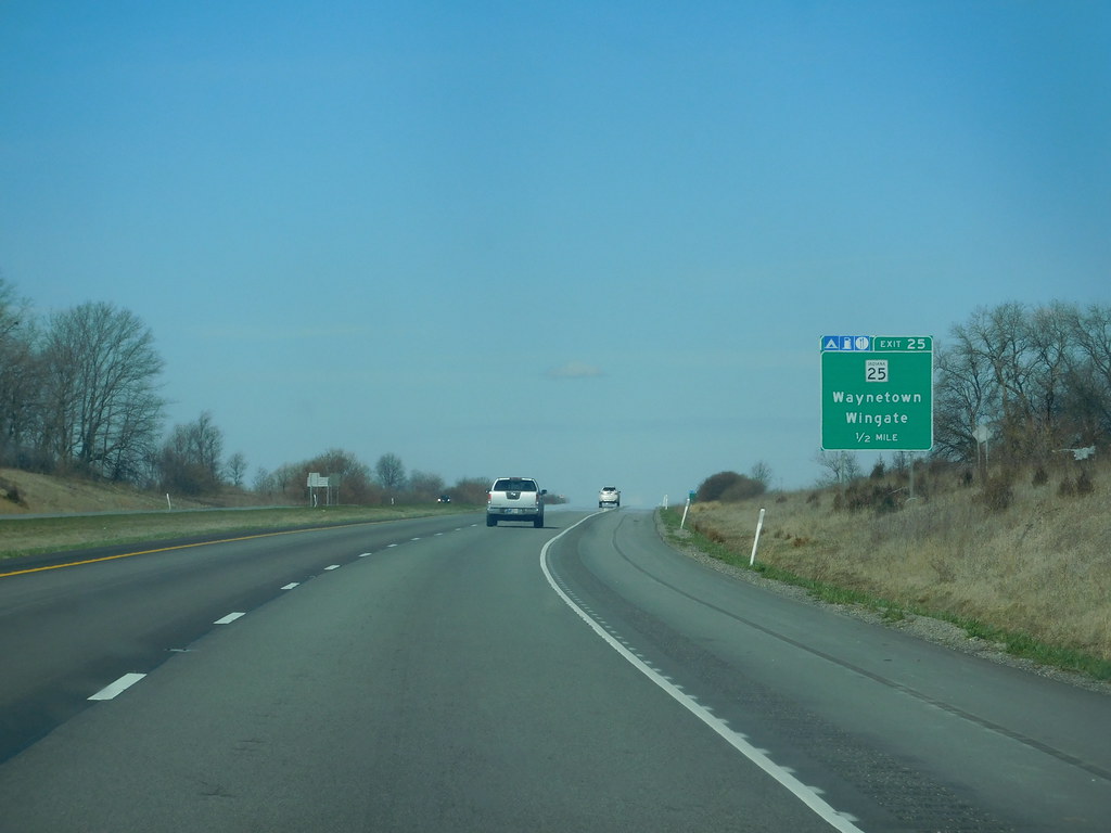
Interstate 74 (I-74) is an important highway that traverses central parts of the US state of Indiana from west to east. It connects Champaign, Illinois, with Indianapolis in the center of the state, and Indianapolis with Cincinnati, Ohio.
Covering 171.54 miles (276.07 km) across Indiana, a portion of I-74 is concurrently routed through Indianapolis along the southern and western legs of I-465. With its important role in connecting cities and towns in central Indiana and providing a direct link to neighboring states, I-74 enables both local and regional traffic.
Interstate 80
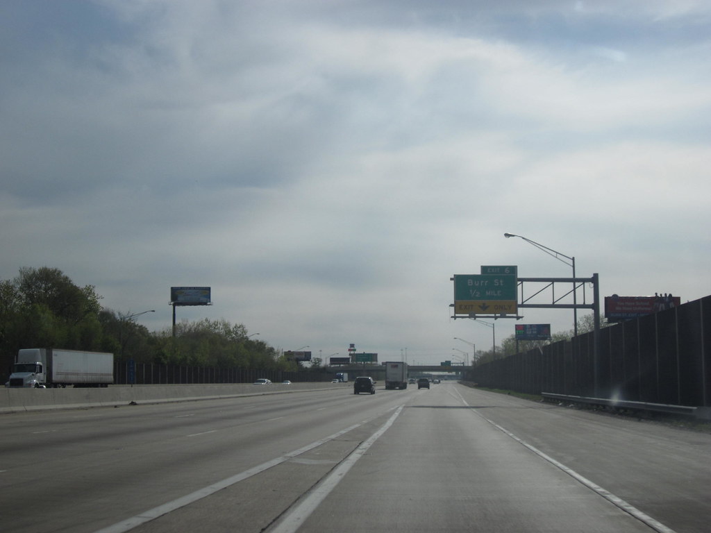
Interstate 80 (I-80) in the U.S. state of Indiana consists entirely of two highways: the Borman Expressway, from the Illinois state line to Lake Station, Indiana, running concurrently with I-94, U.S. Highway 6 (US 6), and a small portion of US 41, and the Indiana Toll Road, from Lake Station to the Ohio state line, running concurrently with I-90.
With its important role in connecting the Chicago metropolitan area with northeastern Indiana and neighboring states, I-80 is a vital artery for both local and regional traffic.
Interstate 90
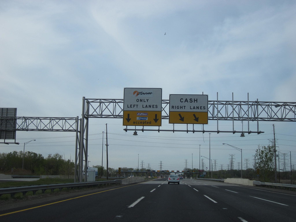
Interstate 90 (I-90) in Indiana is a tolled freeway known as the Indiana Toll Road or the Indiana East-West Toll Road. It runs for 156.28 miles (251.51 km) east-west across northern Indiana from the Illinois state line to the Ohio state line, and has been advertised as the “Main Street of the Midwest”.
The entire toll road is designated as part of I-90, and the segment from Lake Station east to the Ohio state line (which comprises over 85 percent of the route) is a concurrency with I-80. The toll road is owned by the Indiana Finance Authority and operated by the Indiana Toll Road Concession Company (ITRCC), which is owned by IFM Investors. With its important role in connecting northern Indiana with neighboring states, I-90 is a vital channel for local and regional traffic.
Interstate 69
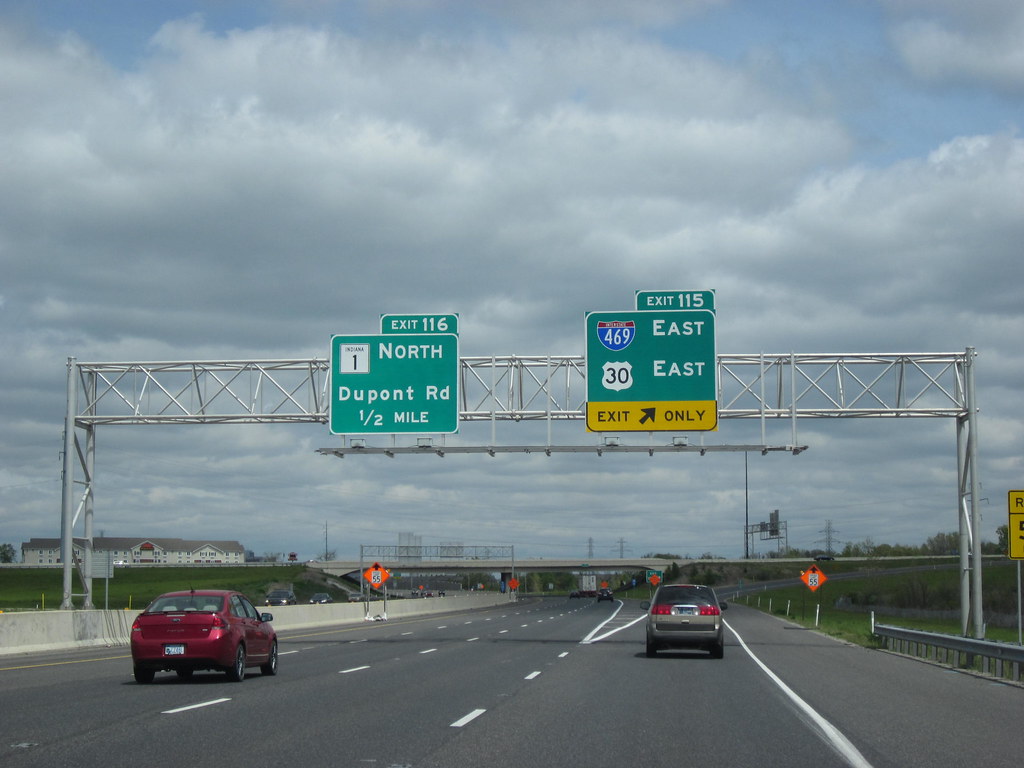
Interstate 69 (I-69) in the US state of Indiana currently has two discontinuous segments of freeway. The original 157.8-mile-long (254.0 km) highway, completed in November 1971, runs northeasterly from the state capital of Indianapolis to the city of Fort Wayne, and then proceeds north to the state of Michigan, reaching its capital city, Lansing, and beyond.
This original segment is also known as a segment of independent utility 1 (SIU 1) in the national plan for the expansion of I-69. The 152.2-mile (244.9 km) segment in Southwestern Indiana temporarily begins at the interchange with U.S. Route 41 (US 41) and Veterans Memorial Parkway in Evansville and, as of December 16, 2022, temporarily ends at the State Road 144 (SR 144) interchange in Bargersville, concurrent with SR 37.
Between I-64 and Bloomington, four new terrain sections have opened in phases in 2009, 2012, and 2015 as part of the planned national extension of I-69 southwest from Indianapolis, Indiana, via Paducah, Kentucky; Memphis, Tennessee; Shreveport, Louisiana; and Houston, Texas, to the international border with Mexico in Texas. With its important role in connecting major cities and towns in Indiana and beyond, I-69 is a key channel for both local and regional traffic.
Interstate 64
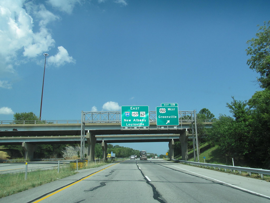
Interstate 64 (I-64) is a major east-west highway in the US state of Indiana, providing access between Illinois and Kentucky. The highway passes through southern Indiana as part of its connection between the two metropolitan areas of St Louis, Missouri, and Louisville, Kentucky. With its important role in connecting major cities and towns in southern Indiana and neighboring states, I-64 is a chief artery for both local and regional traffic.
Interstate 94
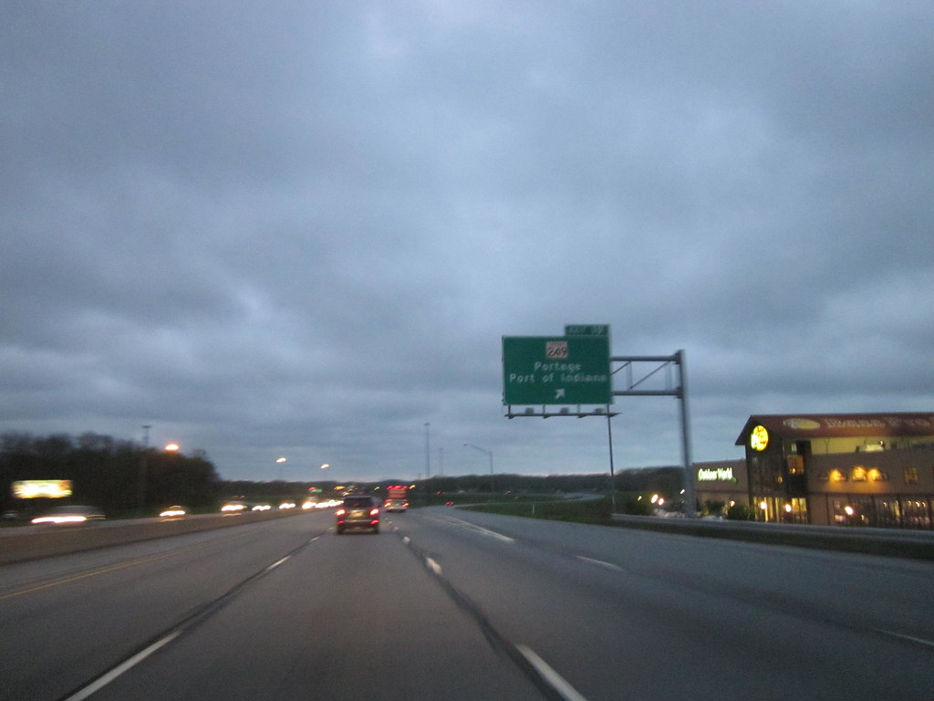
Interstate 94 (I-94) is an important highway that runs through the US state of Indiana as a part of the Interstate Highway System, stretching from Billings, Montana, to Port Huron, Michigan. I-94 enters Indiana from Illinois in the west, in Munster, and runs generally eastward through Hammond, Gary, and Portage, before entering Michigan northeast of Michigan City.
The Interstate runs for approximately 45.8 miles (73.7 km) through the state, traversing urban areas of Northwest Indiana, wooded areas, and farmland. The section of I-94 between the Illinois state line and Lake Station is named the Frank Borman Expressway. With its important role in connecting the Chicago metropolitan area with northeastern Indiana and neighboring states, I-94 is a prominent pathway for both local and regional traffic.

