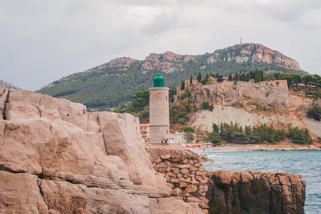
Freetown-Fall River State Forest
Massachusetts (Bristol41°45′28″N 71°3′48″W / 41.75778°N 71.06333°W / 41.75778; -71.06333 (Freetown-Fall River State Forest) County)
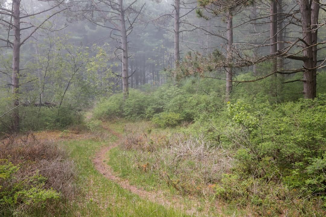
Sprawling across 5,217 acres of Bristol County in southeastern Massachusetts, Freetown-Fall River State Forest is one of the largest publicly accessible forests in the region. Straddling the towns of Freetown and Fall River, this expansive woodland offers a genuine escape from the densely settled communities that surround it — a pocket of wildness tucked between Providence and Cape Cod.
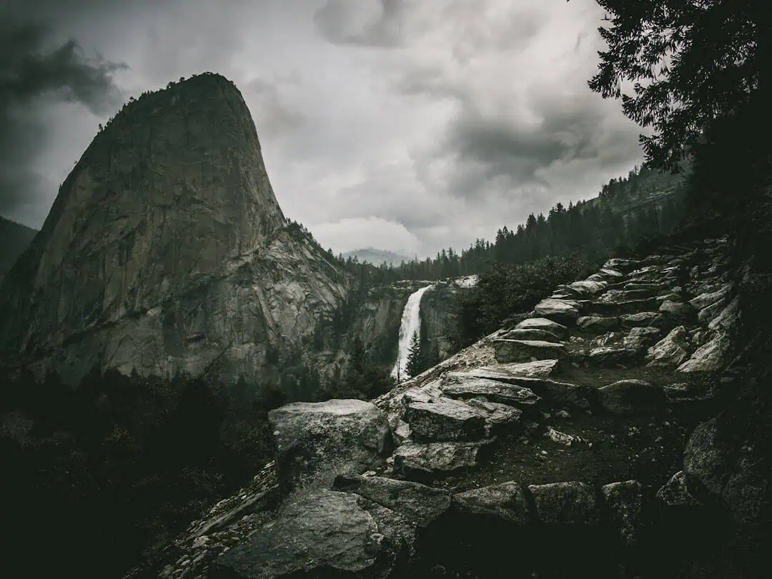
The forest is laced with miles of multi-use trails winding through oak and pine groves, past rocky outcrops, and along the shores of Profile Rock and Rattlesnake Brook. Mountain biking is particularly popular here, with technical single-track routes that draw riders from across southern New England. Hikers, horseback riders, and trail runners share the network, and in winter the paths see snowmobilers and cross-country skiers. Fishing and hunting are permitted in season, and the forest’s several ponds provide quiet spots for kayaking and canoeing.
Profile Rock, a natural granite formation resembling a human face, is the forest’s most distinctive landmark and holds deep significance in Wampanoag history — this land was part of the territory of King Philip (Metacom) during the 17th century. Interpretive signage throughout the forest offers glimpses into that layered past.
Fall is arguably the best season to visit, when the hardwood canopy turns vivid shades of red and gold and the trails are dry and cool. Spring can be muddy but rewards visitors with wildflower blooms along the brooks.
Come prepared with sturdy footwear and a trail map — cell service is spotty deep in the forest.
Explore Nearby
- Meteor Lakes Byway — Scenic Byway in North Carolina
- Borden Flats Light — Lighthouse in Massachusetts
- Fairhaven Bridge Light — Lighthouse in Massachusetts
- Old Kings Highway (Route 6A) — Scenic Byway in Massachusetts
- Swamp Meadow Bridge — Covered Bridge in South Carolina
Photos
Nearby Discoveries
12 places to explore within 30 miles
Dighton Rock State Park
3.8 miles away
Massasoit State Park
7.6 miles away
Fall River Heritage State Park
7.9 miles away
Borden Flats Light
8.6 miles away
Fairhaven Bridge Light
11.6 miles away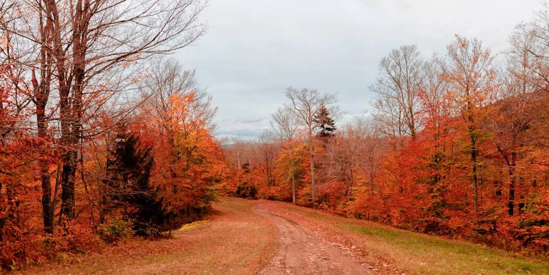
Watson Pond State Park
12.4 miles away
Palmer Island Light
12.6 miles away
Fort Phoenix State Reservation
13 miles away
Butler Flats Light
14.3 miles away
Nasketucket Bay State Reservation
14.5 miles away
Bristol Ferry Light
14.7 miles away