
Paria Hackberry WSA
Utah
The varied terrain includes plateaus, benches, a portion of The Cockscomb ridge, scattered sand dunes, rock knobs and domes, and natural arches.All of the portion recommended for wilderness designation is of outstanding scenic quality. The Paria River marks the eastern edge of the Grand Staircase, the southern edge of the High Plateaus of the Utah Section of the Colorado Plateau Physiographic Province.The Grand Staircase was so named by early geologists because it is an ascending series of colored cliffs and terraces. At Bull Valley Gorge and Deer Creek Canyon, in the northwestern part of the WSA, the eastern end of the White Cliffs of the Grand Staircase is 600 to 1,000 feet high and is cut by eight canyons. East of the Paria River, the same sandstone as the White Cliffs is exposed but is more sculped and dissected. A portion of the terrace of the Vermillion Cliffs, the Grand Stair below the White Cliffs, is in the southwestern portion of the WSA. Below the cliffs are multi colored badlands.
Explore Nearby
- Kodachrome Basin State Park — State Park in Utah
- Acadia All-American Road — Scenic Byway in Maine
- Markagunt High Plateau Scenic Byway — Scenic Byway in Utah
- Ginkgo Petrified Forest State Park — State Park in Washington
- Rainbow Bridge National Monument Dark Sky Park — Dark Sky Site in Colorado
Nearby Discoveries
10 places to explore within 30 miles

Paria Hackberry 202
8.8 miles away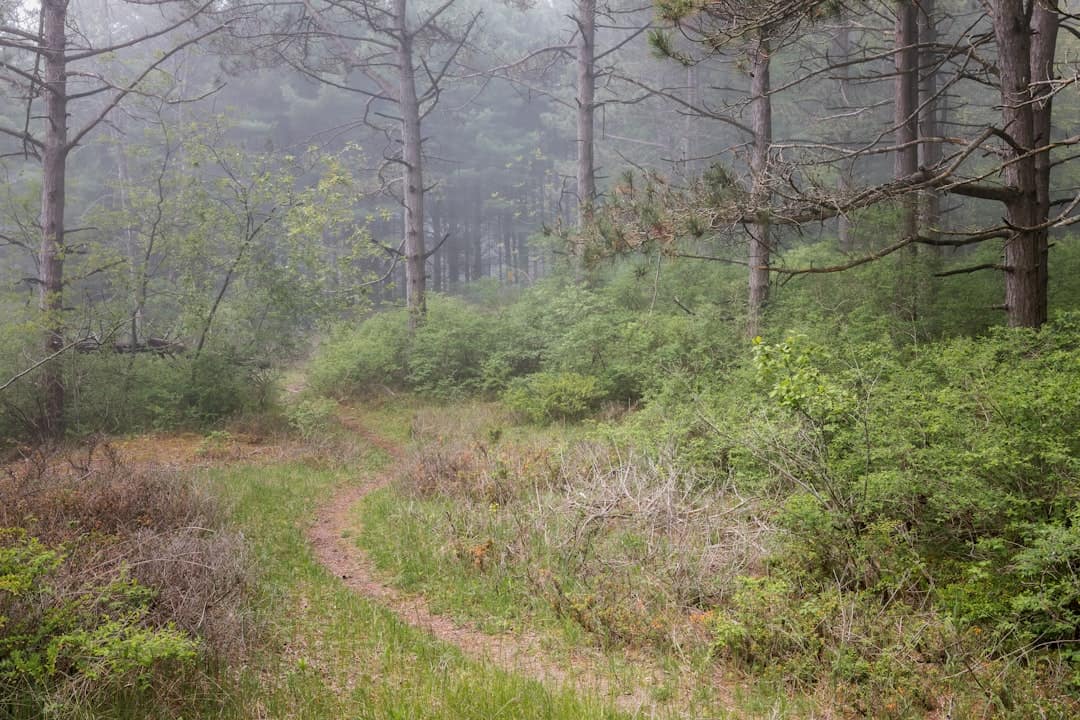
Kodachrome Basin State Park
10.3 miles away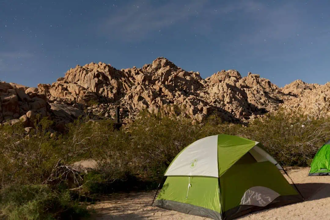
Coal Canyon
14.8 miles away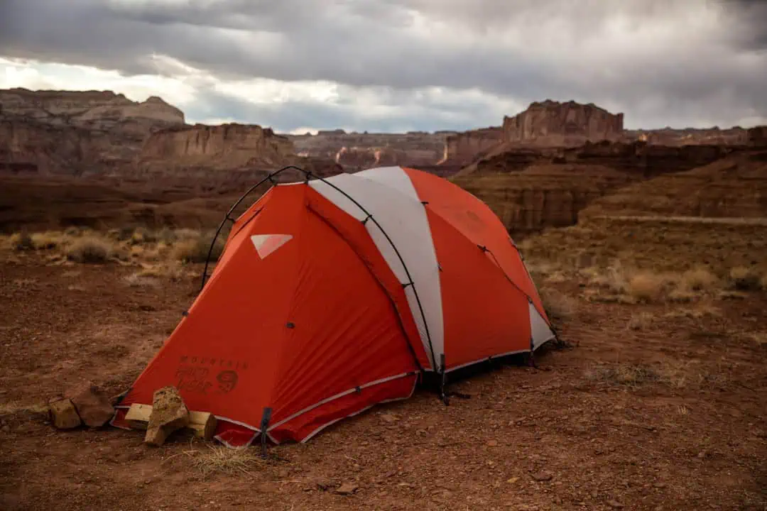
Jack Canyon
16.1 miles away
Scenic Byway 12 (Journey Through Time)
18.3 miles away
The Blues Wilderness Study Area
20 miles away
Grand Staircase-Escalante National Monument
23.5 miles away · 4.7 ★
Wire Pass
23.9 miles away · 4.7 ★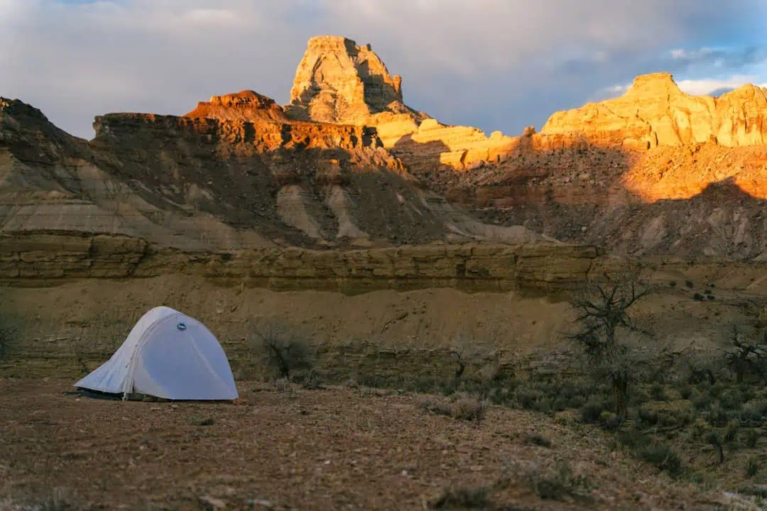
Death Ridge Wilderness Study Area
25.2 miles away
