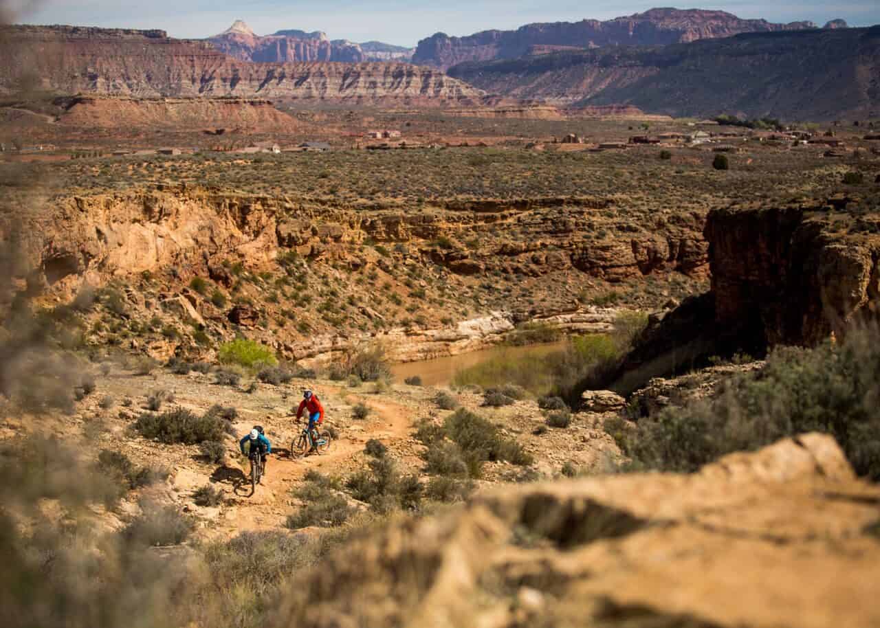
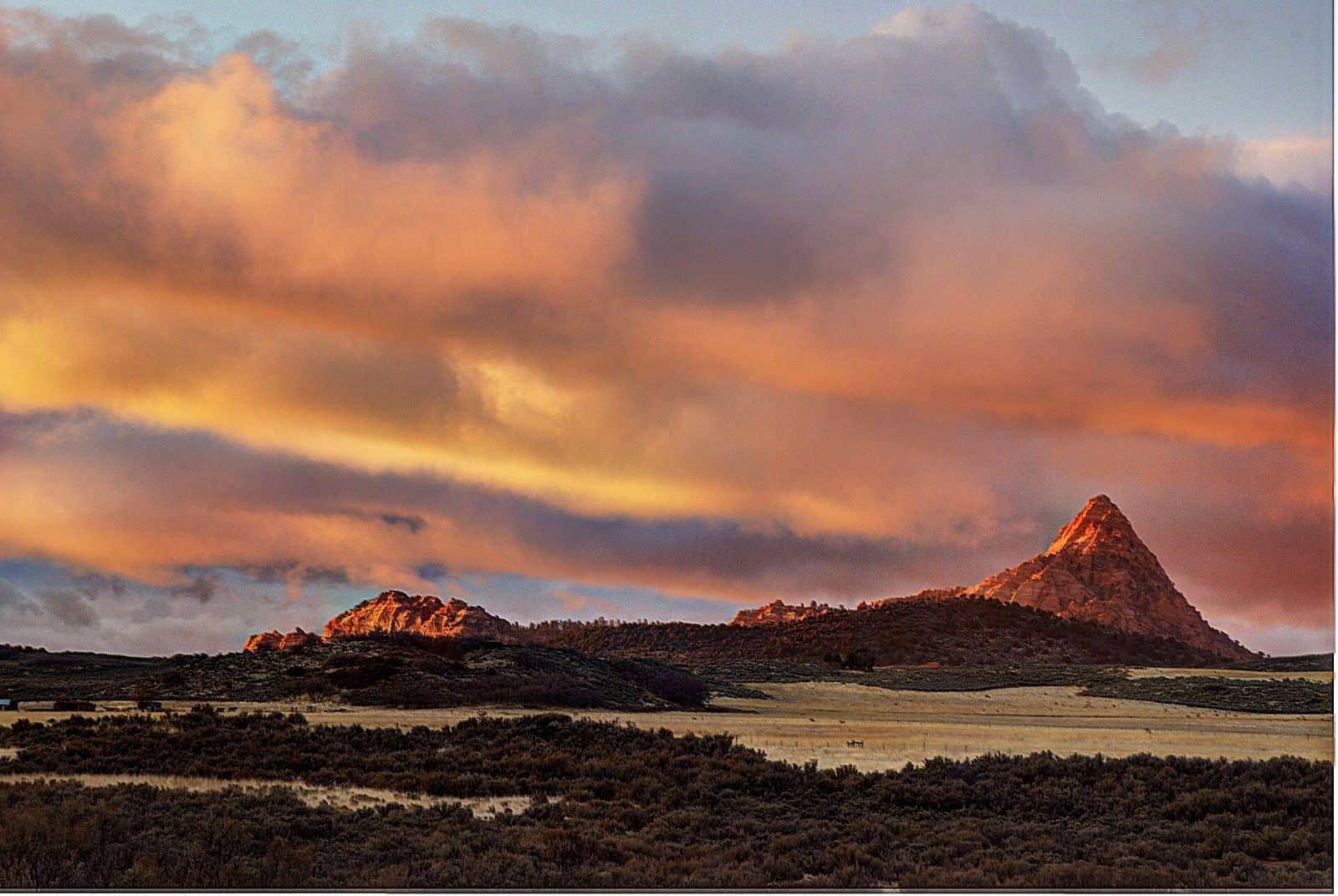
Recommended Users: Mountain Bikers, Hikers. Singletrack trail. 2.53 miles in length. Difficulty: Extremely difficult. From the trailhead, the trail immediately drops down a steep, rugged slope and careens toward the cliff edge on your right. Follow the narrow, winding track southeast as it traverses the crumbling layers of sandstone, siltstone and mudstone below the mesa rim. Expect a steep, rocky descent along the entire trail, with sharp turns, sudden drop-offs and precipitous exposure. Keep in mind that entire sections of the trail may be washed out in places due to its location on a steep, eroded slope. The trail becomes braided in several sections, allowing users to choose one of several interconnected paths on their descent.If you have time to look up, you’ll be rewarded with dramatic vistas of colorful badlands in the foreground, Gooseberry Mesa to the south, the craggy peaks of Canaan Mountain Wilderness to the southeast and the majestic West Temple of Zion National Park to the east.While keeping your eyes on the trail, you will experience a speedy ride-through tour of local geology. The trail begins in the Chinle Formation of the Upper Triassic Age atop the mesa then descends quickly through the Moenkopi layer of the Lower Triassic, a blur of red sandstone under your tires. Soon after, you are plummeting through talus from the Holocene to upper Pleistocene Age before revisiting the Moenkopi Formation near the bottom of the escarpment.Once the trail drops to rolling lowlands and levels out, find your way back to SR 9 near Virgin by following the well-traveled dirt road south. Note: This trail should only be considered by expert mountain bicyclists. Throughout its length, it features narrow tread width, widely variable and unpredictable tread surfaces, 20% or more average trail grade, jumps, unavoidable obstacles, loose rocks and extreme exposure. There are no convenient places to stop or turn around and the cost of a mistake in many places could result in serious injury or death. Use extreme caution, always wear a helmet, and ride at your own risk.
Explore Nearby
- Quail Creek State Park — State Park in Utah
- Zion Scenic Byway — Scenic Byway in Utah
- Kolob Fingers Road Scenic Byway — Scenic Byway in Utah
- Sand Hollow State Park — State Park in Utah
- Grand Canyon-Parashant National Monument Dark Sky Park — Dark Sky Site in Arizona