
Elkhorn Creek Wild and Scenic River
Oregon
Overview:
Elkhorn Creek is a unique, pristine, low-elevation setting, with limited access, providing a landscape with few signs of human disturbance or activity. It flows through the heavily forested and rugged foothills of the west side of the Cascade Range and within the Opal Creek Scenic Recreation Area, which is known for its majestic old-growth forests. The ‘wild’ section flows from a point along the Willamette National Forest to 0.6 mile downstream of its confluence with Buck Creek.
Know Before You Go:
- Elkhorn Creek has limited and difficult access. The segment is much valued by the kayaking community, some of whom have been known to lower themselves and their gear down a thousand foot cliff face. Once there, they enjoy a canyon of spectacular beauty and isolation.
- There are no developed recreation sites along Elkhorn Creek itself; however, Nearby BLM’s seasonally-opened Elkhorn Valley and Canyon Creek recreation sites offer camping and picnicking, respectively. This waterway abuts the Forest Service’s Opal Creek Scenic Area, and is close to the Opal Creek wilderness further up the Little North Santiam River.
- When recreating on public lands, practice Leave-No-Trace Principles.
- Don’t Move Firewood: Please protect Pacific Northwest forests by preventing the spread of invasive species. Firewood can carry insects and diseases that can threaten the health of our western forests. You can make a difference by obtaining and burning your firewood near your camping destination.
Point of Interest:
Elkhorn Creek is home to Pacific giant salamanders which can grow up to 12 inches in length.
Explore Nearby
- Yaquina Bay State Recreation Site — State Park in Oregon
- Yachats State Recreation Area — State Park in Oregon
- Willamette National Forest — National Forest in Oregon
- Umpqua National Forest — National Forest in Oregon
- Tamiami Trail Scenic Highway — Scenic Byway in Oregon
Nearby Discoveries
12 places to explore within 30 miles
8 Public Lands
2 Covered Bridges
2 Scenic Byways
Public Land
Sterling Mine Ditch Trail
0 miles away
Covered Bridge
Rock O’ the Range Covered Bridge
0 miles away
Public Land
Siuslaw River SRMA
0 miles away
Public Land
Blue Ridge Trail System
0 miles away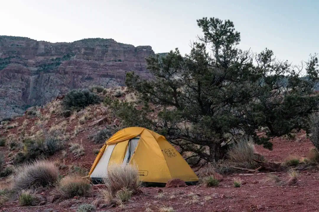
Public Land
Galice-Hellgate Back Country Byway
0 miles away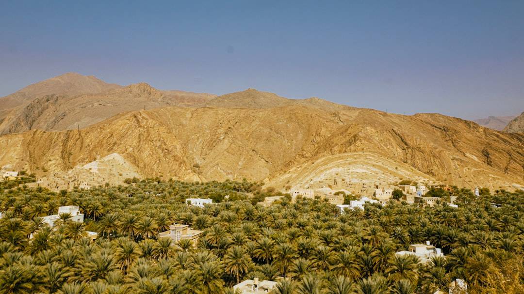
Public Land
Enchanted Forest/Felton Trail
0 miles away
Public Land
Snake River-Mormon Basin Back Country Byway
0 miles away · 4.6 ★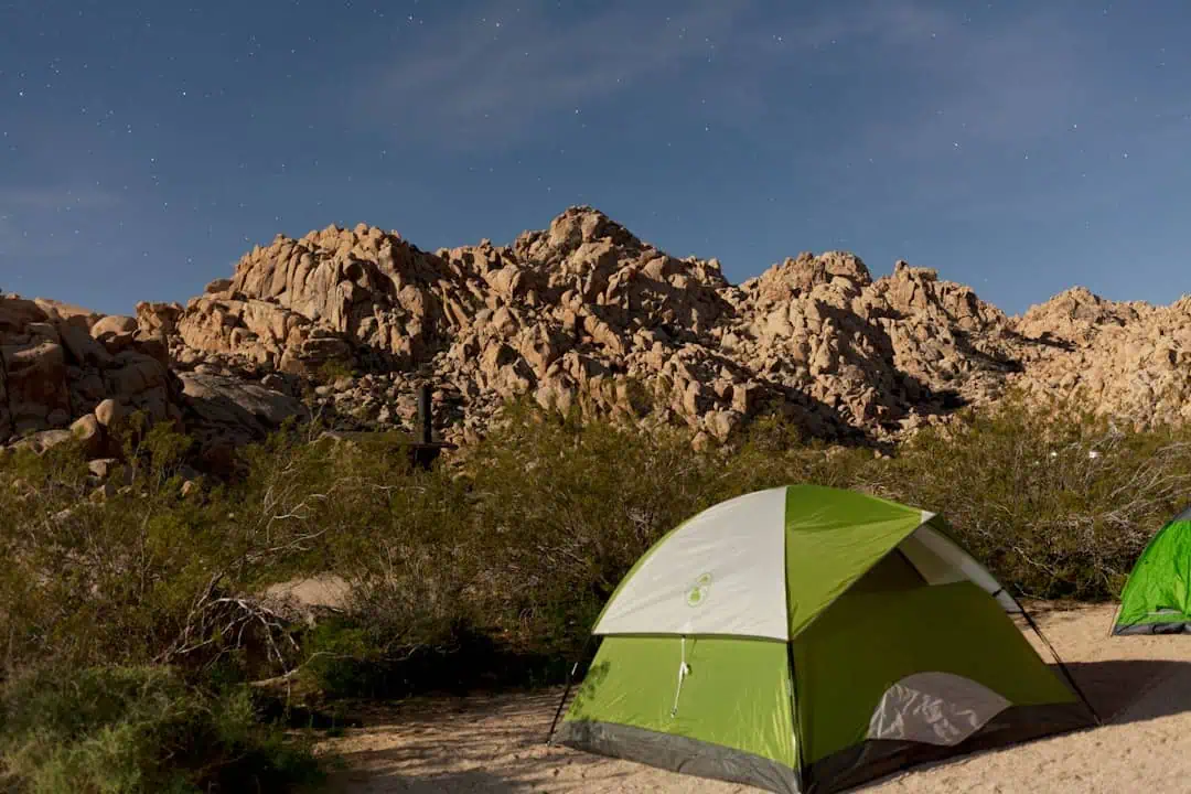
Public Land
Lower Crooked River Back Country Byway
0 miles away
Covered Bridge
N. Fk. Yachats River Covered Bridge
0 miles away
Public Land
Threemile Creek Trail
0 miles away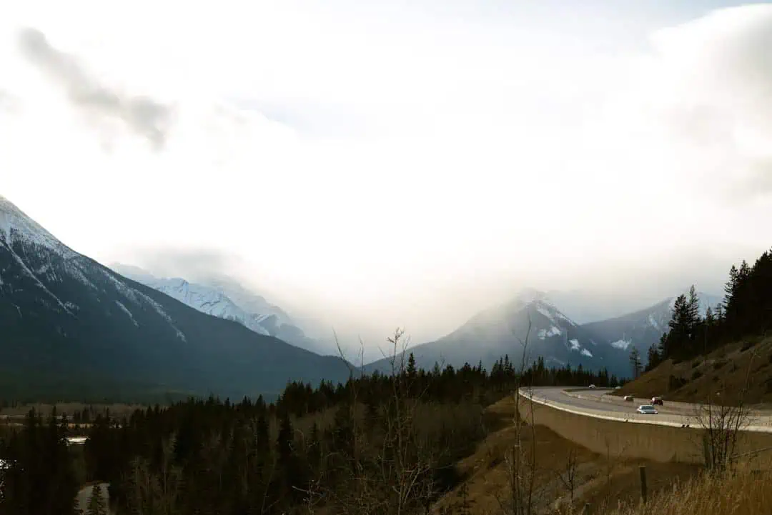
Scenic Byway
Catoctin Mountain Scenic Byway
0 miles away
Scenic Byway
