
Sand Butte Wilderness Study Area
Idaho
Sand Butte Wilderness Study Area covers nearly 21,000 acres of volcanic terrain in southeastern Idaho, managed by the Bureau of Land Management. The landscape features an ancient lava flow topped with wind-deposited soils and a dramatic crater formed by steam explosions when magma met groundwater. Elevations climb from 4,250 feet along the southern boundary to 4,974 feet at Sand Butte’s summit.
Dispersed camping is permitted throughout the WSA, offering solitude and unobstructed night skies far from developed facilities. Visitors can explore the sagebrush-covered terrain on foot or horseback using informal trails that wind through the volcanic formations. The area supports hunting during designated seasons and provides excellent wildlife viewing and photography opportunities in the high desert ecosystem.
Access requires high-clearance vehicles on unpaved BLM roads, and visitors should come prepared with adequate water, maps, and supplies—no services exist within the WSA. Spring and fall offer the most comfortable temperatures for camping and hiking, while summer brings intense heat to the exposed terrain. Winter access may be limited by snow and road conditions.
Explore Nearby
- Craters of the Moon National Monument and Preserve Dark Sky Reserve — Dark Sky Site in Idaho
- Lake Walcott State Park — State Park in Idaho
- Ketchum, Idaho Dark Sky Park — Dark Sky Site in Idaho
- Sawtooth National Forest — National Forest in Idaho, Utah
- Thousand Springs State Park — State Park in Idaho
Nearby Discoveries
9 places to explore within 30 miles
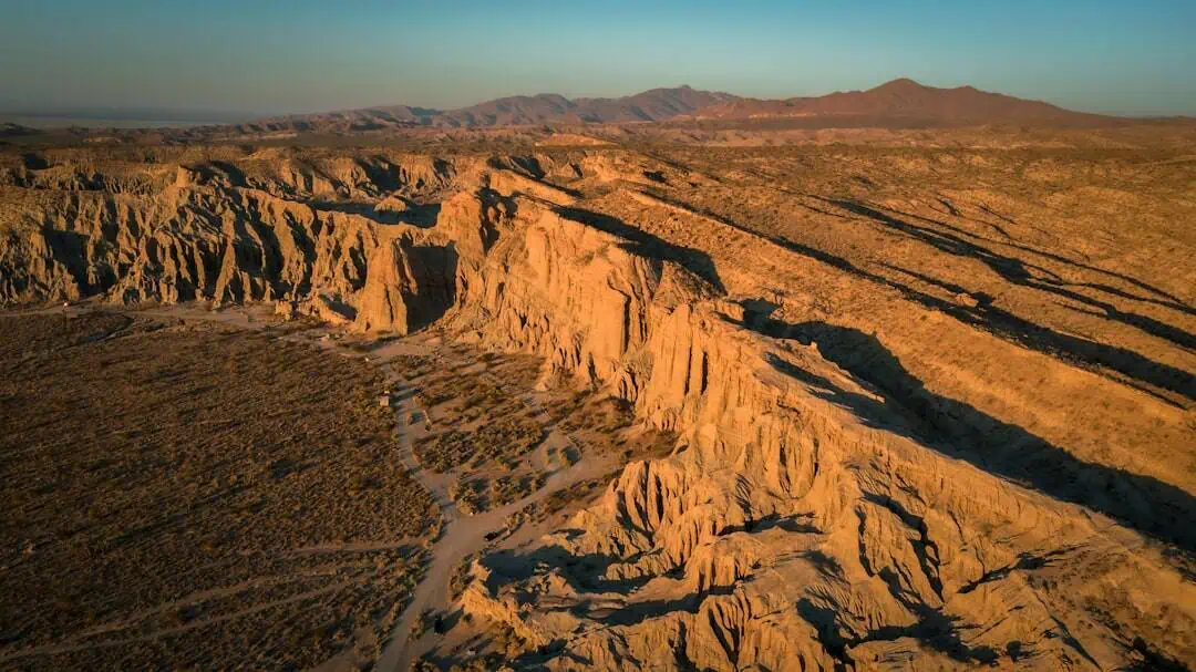
Shale Butte Wilderness Study Area
0 miles away
Silver Creek (North and South)
11.1 miles away · 4.9 ★
Craters of the Moon National Monument
21 miles away · 4.7 ★
Craters of the Moon National Monument
21 miles away · 4.7 ★
Craters of the Moon National Monument and Preserve Dark Sky Reserve
21 miles away · 4.7 ★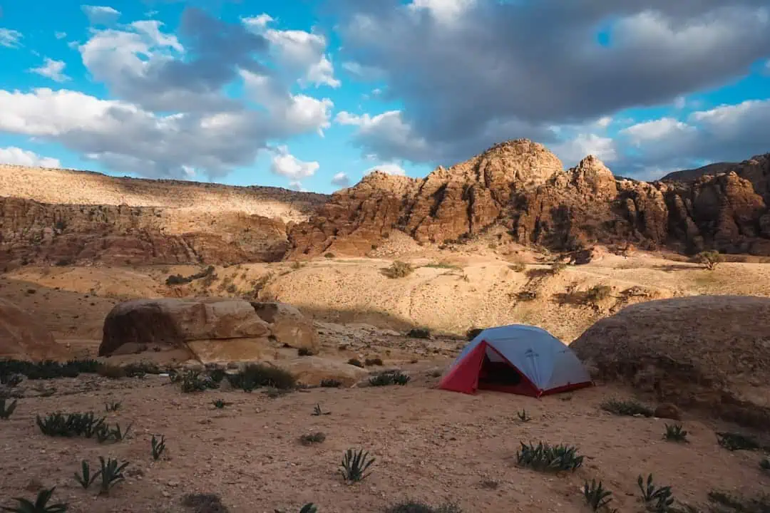
Lava Wilderness Study Area
22.1 miles away
Fish Creek Reservoir
22.2 miles away · 4.1 ★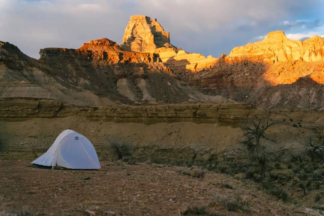
Black Butte Wilderness Study Area
23.5 miles away
