
Potash-Lower Colorado River Scenic Byway
Utah
Follow the Colorado River through one of Utah’s most dramatic canyon corridors on the Potash-Lower Colorado River Scenic Byway. This state-designated scenic route traces the river downstream from Moab, carving through towering walls of red and orange sandstone that rise hundreds of feet on either side of the road.
Along the way, travelers encounter ancient Ancestral Puebloan rock art panels, dinosaur tracks pressed into stone, and stunning views of the river winding through its deep canyon. The road passes the Moab Salt Evaporation Ponds, where vivid turquoise pools contrast sharply against the rust-colored desert. Near the route’s end, the Shafer Trail switchbacks offer jaw-dropping overlooks into Canyonlands National Park’s Island in the Sky district.
Pull over at marked viewpoints to watch rock climbers scaling the Wall Street climbing area or rafters navigating the river below. Keep an eye out for desert bighorn sheep on the cliffs above.
Spring and fall offer the most comfortable temperatures for this drive, though winter brings a quiet beauty with snow dusting the canyon rims. Allow one to two hours to enjoy the route at a leisurely pace, with plenty of stops for photos and short walks.
Explore Nearby
- Williams Bottom Camping Area — Public Land in Utah
- Dead Horse Point State Park — Dark Sky Site in Utah
- Portal Trail — Public Land
- Dead Horse Point State Park — State Park in Utah
- Utahraptor State Park — State Park in Utah
Photos

Nearby Discoveries
12 places to explore within 30 miles

Williams Bottom Camping Area
3.7 miles away · 4.3 ★
Dead Horse Point State Park
3.8 miles away · 4.8 ★
Dead Horse Point Mesa Scenic Byway
3.8 miles away · 4.8 ★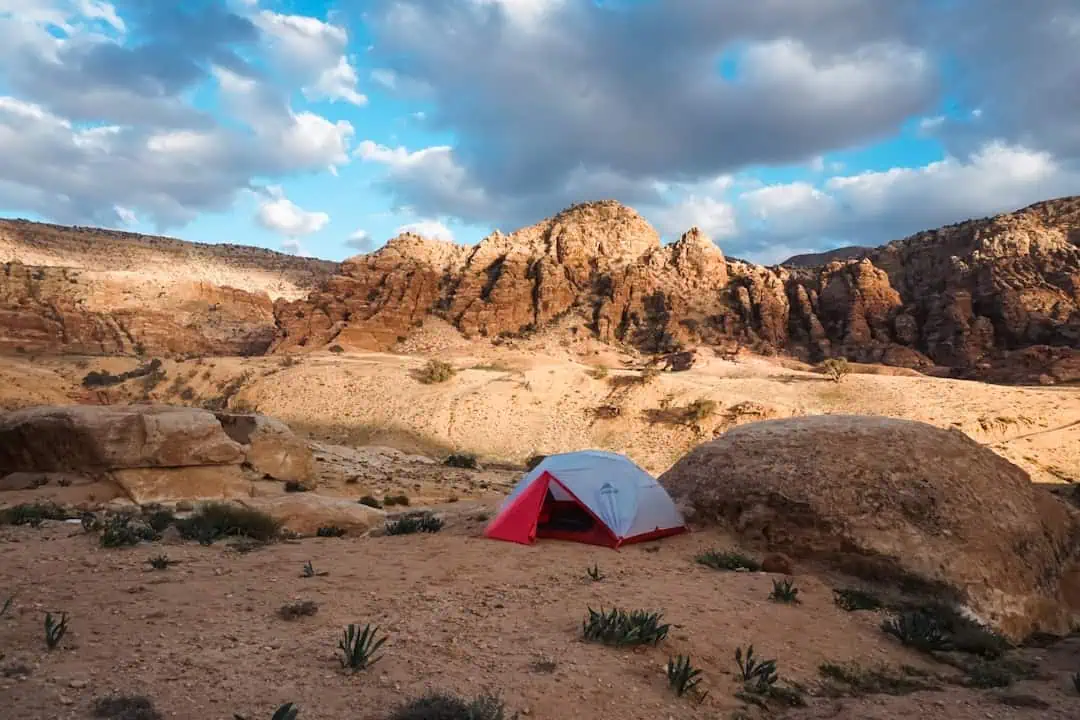
Portal Trail
5.1 miles away · 3.0 ★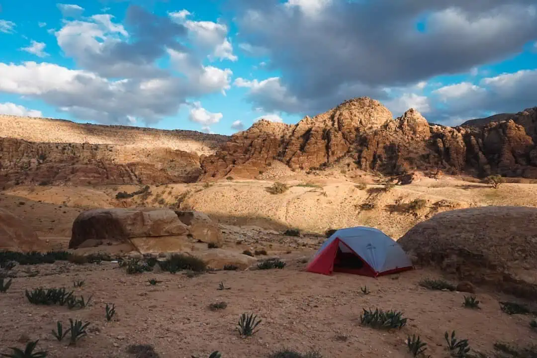
Moab Rim Trail
5.9 miles away
Moab Field Office (BLM)
7.1 miles away · 3.5 ★
Old Spanish National Historic Trail
7.9 miles away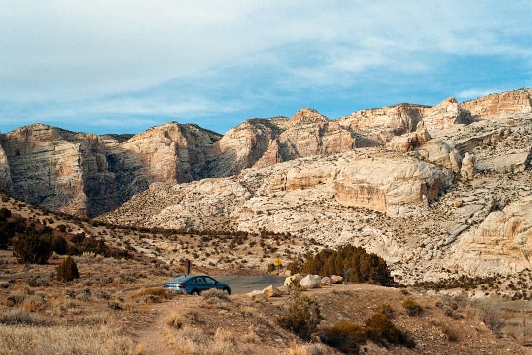
Old Spanish Trail
7.9 miles away
Sand Flats Recreation Area
8.8 miles away · 4.8 ★
Slickrock National Recreation Trail
9.2 miles away · 4.8 ★
Grandstaff Canyon
9.9 miles away · 4.5 ★
