
Red Rock Road
Nevada
14.2 miles
Red Rock Road carries travelers 14.2 miles through one of Nevada’s most striking desert landscapes, where towering sandstone formations blaze in shades of crimson, burnt orange, and deep amber against an endless sky. Designated as both a National and State Scenic Byway, this route offers an intimate encounter with the raw beauty of the high desert.
Along the drive, dramatic rock walls rise from the valley floor, their layered geology telling millions of years of Earth’s history. Watch for desert wildlife — bighorn sheep navigate the rocky terrain, while red-tailed hawks circle overhead. Pull off at overlooks to photograph the contrast of rust-colored cliffs against sage-green desert scrub, or step out for short hikes into narrow canyons carved by ancient waters.
The best time to drive Red Rock Road is early morning or late afternoon, when the low-angle sunlight sets the sandstone ablaze and shadows deepen across the canyon walls. Spring and fall offer the most comfortable temperatures, with wildflowers adding color in wetter years.
Allow at least one to two hours for the drive, more if you plan to stop for photos or explore trailheads along the way. This is a road that rewards those who take it slow.
Explore Nearby
- Wild Horse State Recreation Area — State Park in Nevada
- Washoe Lake State Park — State Park in Nevada
- Grimes Point/Hidden Cave Archaeological Site — Public Land in Nevada
- Black Rock Desert-High Rock Canyon Emigrant Trails National Conservation Area — Public Land in Nevada
- Massacre Rim Wilderness Study Area — Dark Sky Site in Nevada
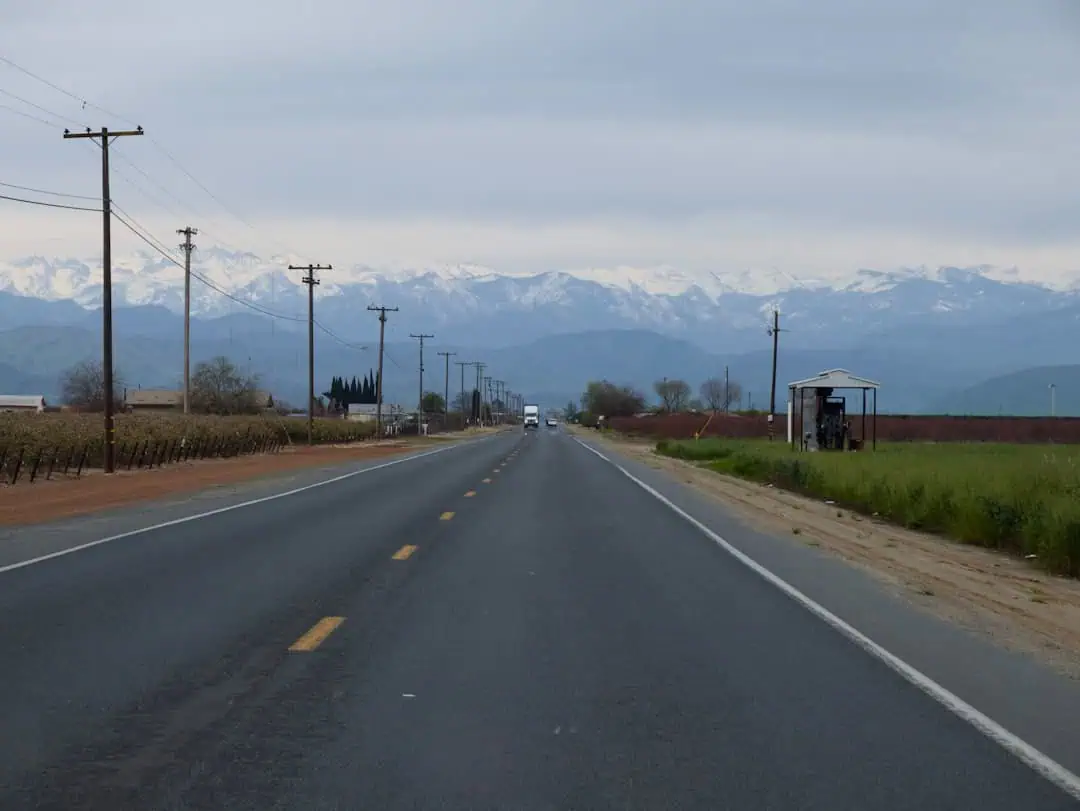
Photos
Nearby Discoveries
8 places to explore within 30 miles

Moon Rocks OHV Area
17.2 miles away · 4.8 ★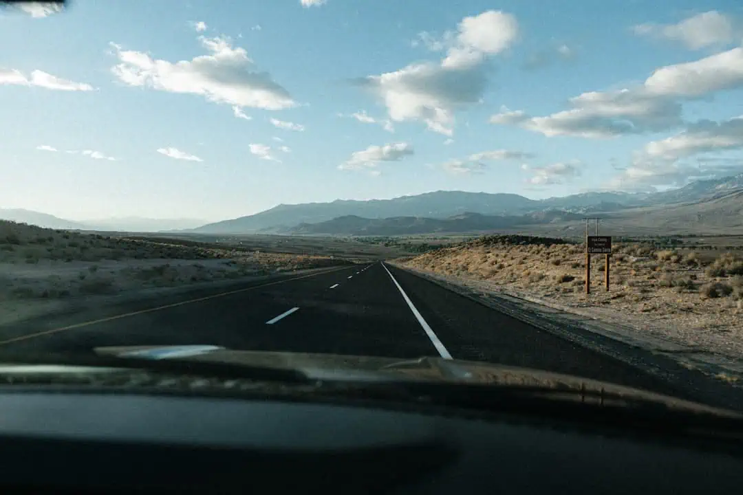
Mt. Rose Highway
19.2 miles away
Lake Tahoe – Eastshore Drive
26.4 miles away · 4.9 ★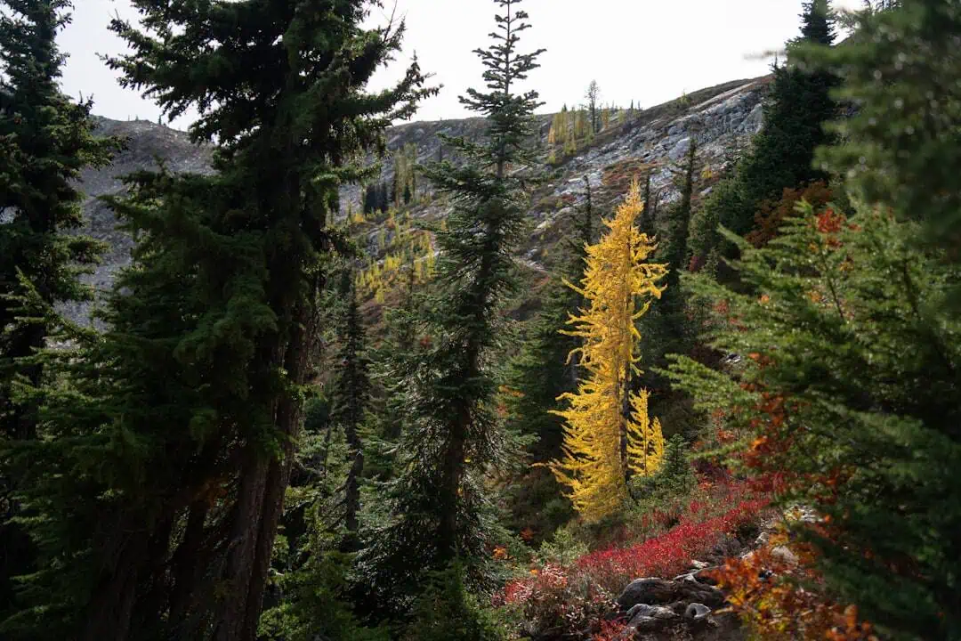
Lake Tahoe – Nevada State Park
27.8 miles away
Donner Memorial State Park
28.2 miles away · 4.7 ★
Kings Beach State Recreation Area
28.6 miles away · 4.7 ★
Washoe Lake State Park
29.1 miles away
