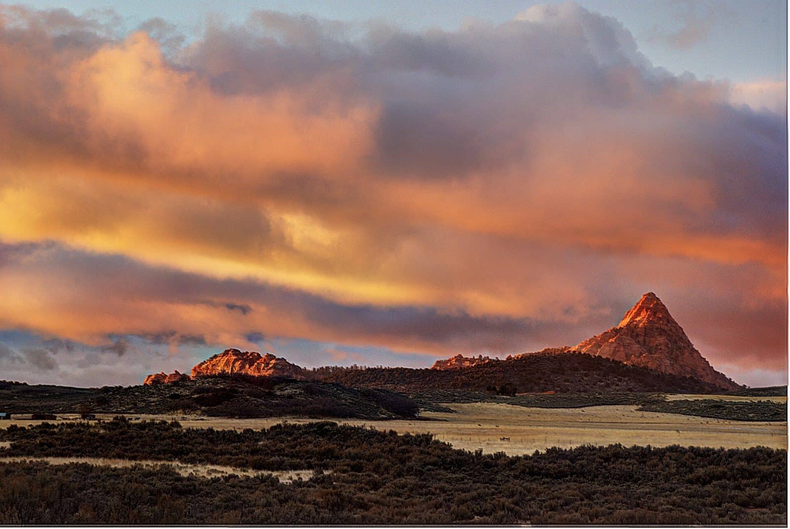
Spring Creek Canyon Wilderness Study Area (WSA) is located in the southeastern corner of Iron County, Utah about 7 miles southwest of Cedar City. The WSA is 4,433 acres and measures approximately 6 miles from north to south and 3 miles from east to west. Private and state land surrounds most of the WSA with the state land nearly bisecting the study area. The southern boundary adjoins Zion National Park. All land within the WSA is managed by the BLM Cedar City Field Office. Spring Creek Canyon WSA includes a portion of the Hurricane Cliffs, an awesome west facing escarpment that extends from north of Cedar City into northwestern Arizona. Two major canyons, Kanarra Falls and Spring Creek Canyon, bisect the WSA with elevations ranging from 5,600 feet at the base of the cliffs to almost 7,900 feet on the ridge tops. Vegetation consists primarily of juniper, scrub oak, shrubs, and grasses; however, along the riparian zone, sedges, rushes, cottonwoods, and willows are prevalent. The area provides habitat for various birds of prey such as the bald eagle and peregrine falcon as well as 13 species of animals and 4 plant species that are considered sensitive. The majority of the WSA is rated outstanding for scenic quality due to the stunning, narrow red rock canyons that offer spectacular hiking along the streambeds. In particular, hiking in Kanarra Canyon involves traveling (and sometimes wading) along Kanarra Creek and climbing up and over several beautiful waterfalls. Due to its immense beauty and unique hiking opportunities, this area sees a large number of visitors every year.
Explore Nearby
- Kolob Fingers Road Scenic Byway — Scenic Byway in Utah
- Frontier Homestead State Park Museum — State Park in Utah
- Cedar Breaks Scenic Byway — Scenic Byway in Utah
- Quail Creek State Park — State Park in Utah
- Grand Canyon-Parashant National Monument Dark Sky Park — Dark Sky Site in Arizona