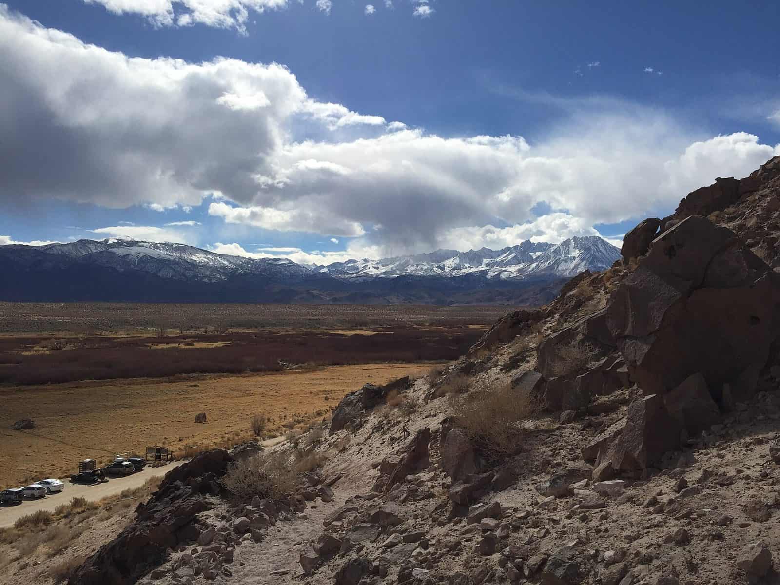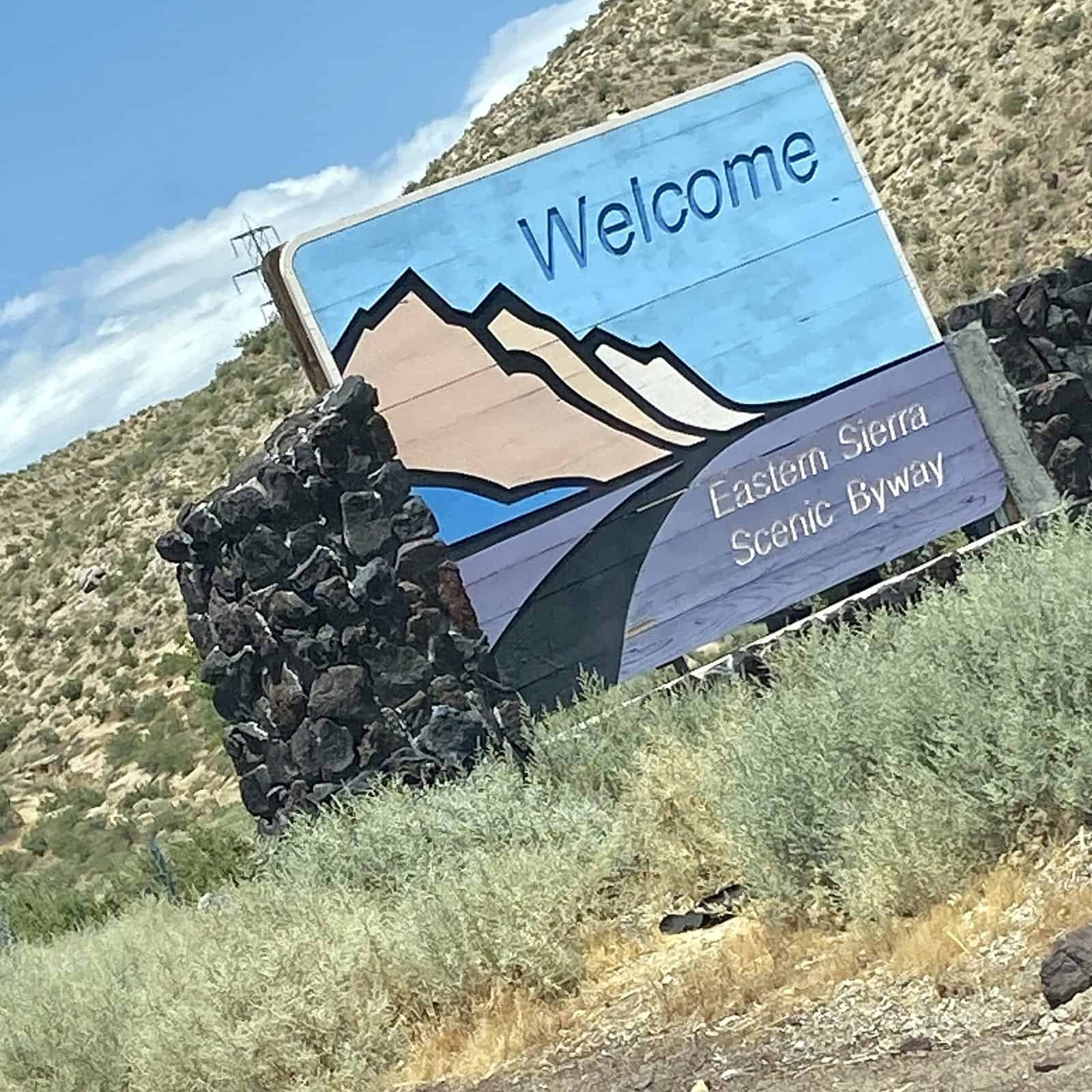
Stretching 245 miles along U.S. Route 395 from Pearsonville to Topaz, the Eastern Sierra Scenic Byway ranks among California’s most spectacular drives. This National Scenic Byway traces the dramatic eastern escarpment of the Sierra Nevada, where jagged peaks rise abruptly from the high desert floor.
Travelers encounter an ever-changing panorama of snow-capped mountains, ancient bristlecone pine forests, and crystal-clear alpine lakes. Key stops include the otherworldly tufa towers of Mono Lake, the ghost town of Bodie, and the stunning Convict Lake. The route passes through charming mountain towns like Bishop, Mammoth Lakes, and June Lake, each offering outdoor adventures and local character.
Hot springs dot the landscape, inviting a restorative soak with mountain views. Wildlife enthusiasts may spot mule deer, golden eagles, and wild mustangs roaming the sagebrush valleys.
Best time to visit: Late spring through early fall offers the most accessible conditions, though autumn transforms the route with golden aspens. Winter brings snow-covered peaks but potential road closures at higher elevations.
Allow: Two to three days to fully appreciate the byway’s treasures, though ambitious travelers can complete the drive in one long day.
This is California’s wild side—raw, rugged, and unforgettable.
Explore Nearby
- Sad Boulders — Public Land in California
- Rock Creek Trail — Public Land in California
- McGee Creek State Park — State Park in Oklahoma
- Inyo National Forest — National Forest in California, Nevada
- Sierra National Forest — National Forest in California