An illustrated town map
Download & use this map
This map is free to use. Towns, tourism offices, businesses, schools and bloggers are welcome to share it on websites, in newsletters or on social media. All we ask is a credit link back to this page. The easiest way to do that is the embed code below.
Embed this map on your site
About Vernon
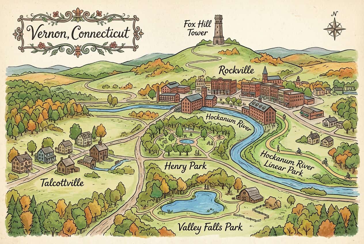
Vernon is a town in Tolland County, Connecticut, that includes the old mill city of Rockville, where the Hockanum River powered woolen mills. Henry Park, the Hockanum River Trail and Rockville's Victorian downtown are its highlights.
This free illustrated map pulls together the places that give Vernon its character, including Rockville, Hockanum River, Hockanum River Linear Park and Henry Park. Every label on the map is listed below with a short description and a link to learn more.
Vernon at a glance
Notable places
- RockvilleHistoric mill city and downtown within Vernon
- Hockanum RiverRiver that powered Rockville's mills
- Hockanum River Linear ParkRiverside trail along the Hockanum
- Henry ParkLarge town park with trails and a pool
- Valley Falls ParkPark with a pond and old farm site
- TalcottvilleHistoric mill village
- Fox Hill TowerMemorial tower on Fox Hill above Rockville
- City of VernonOfficial local government website
- ctvisit.comVisitor and tourism information for Vernon
More maps of Connecticut
See where Vernon sits in the state on our Connecticut county map, or browse more illustrated Connecticut town maps.
Population and area figures come from the U.S. Census Bureau; other facts from the sources linked on each card. Place links go to each place’s official website where it has one, otherwise to its Wikipedia article. The map is an artistic illustration and isn’t to scale.