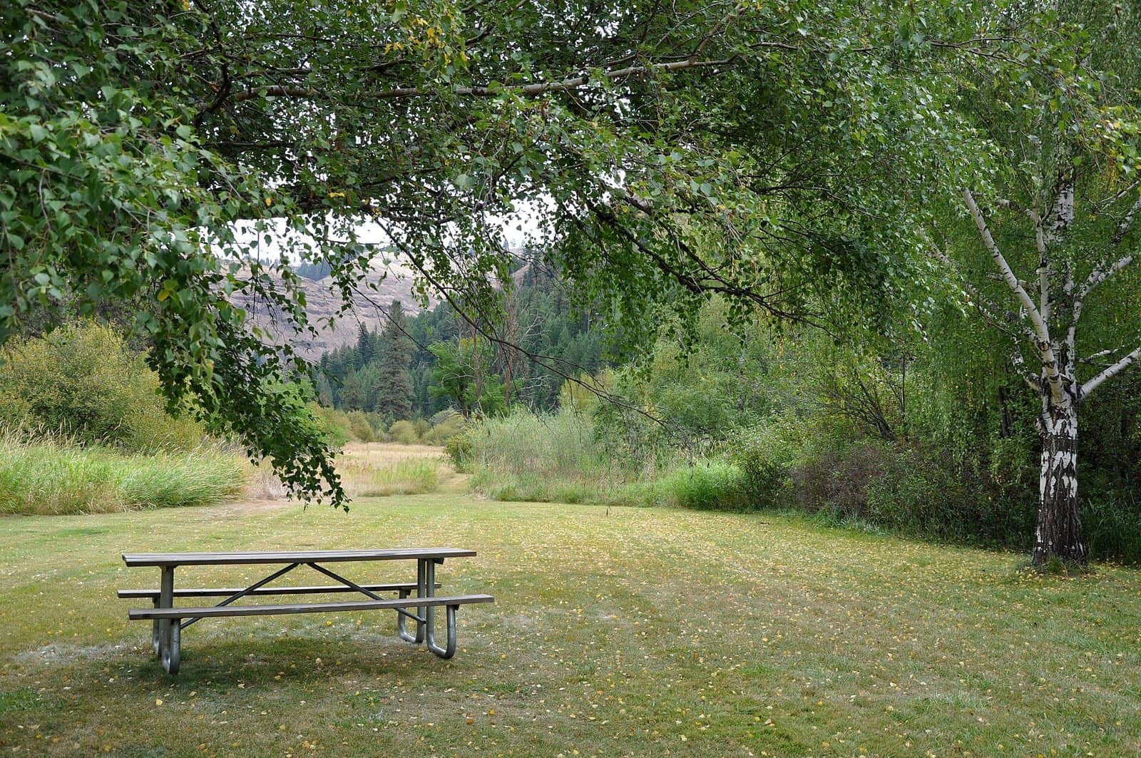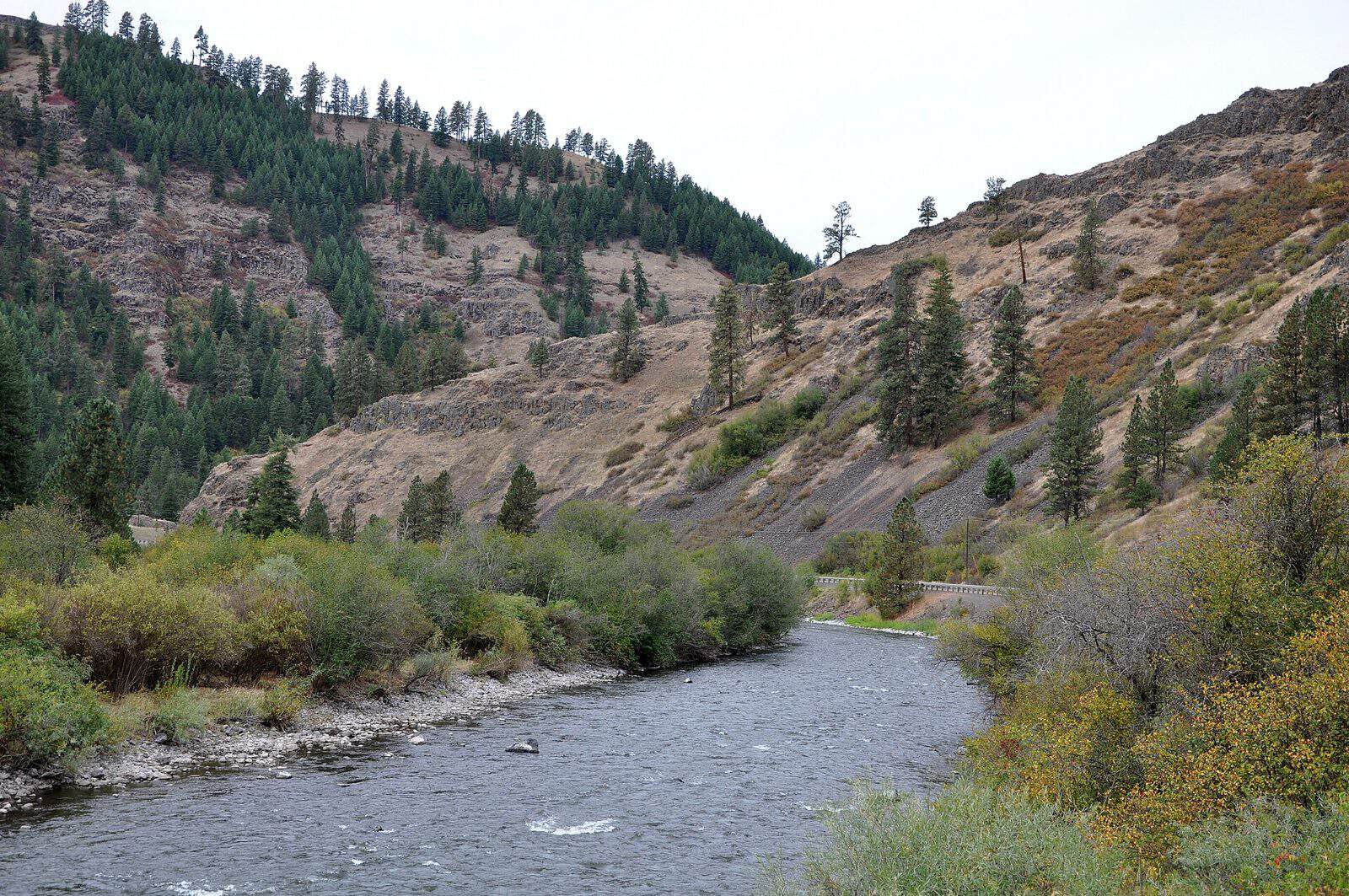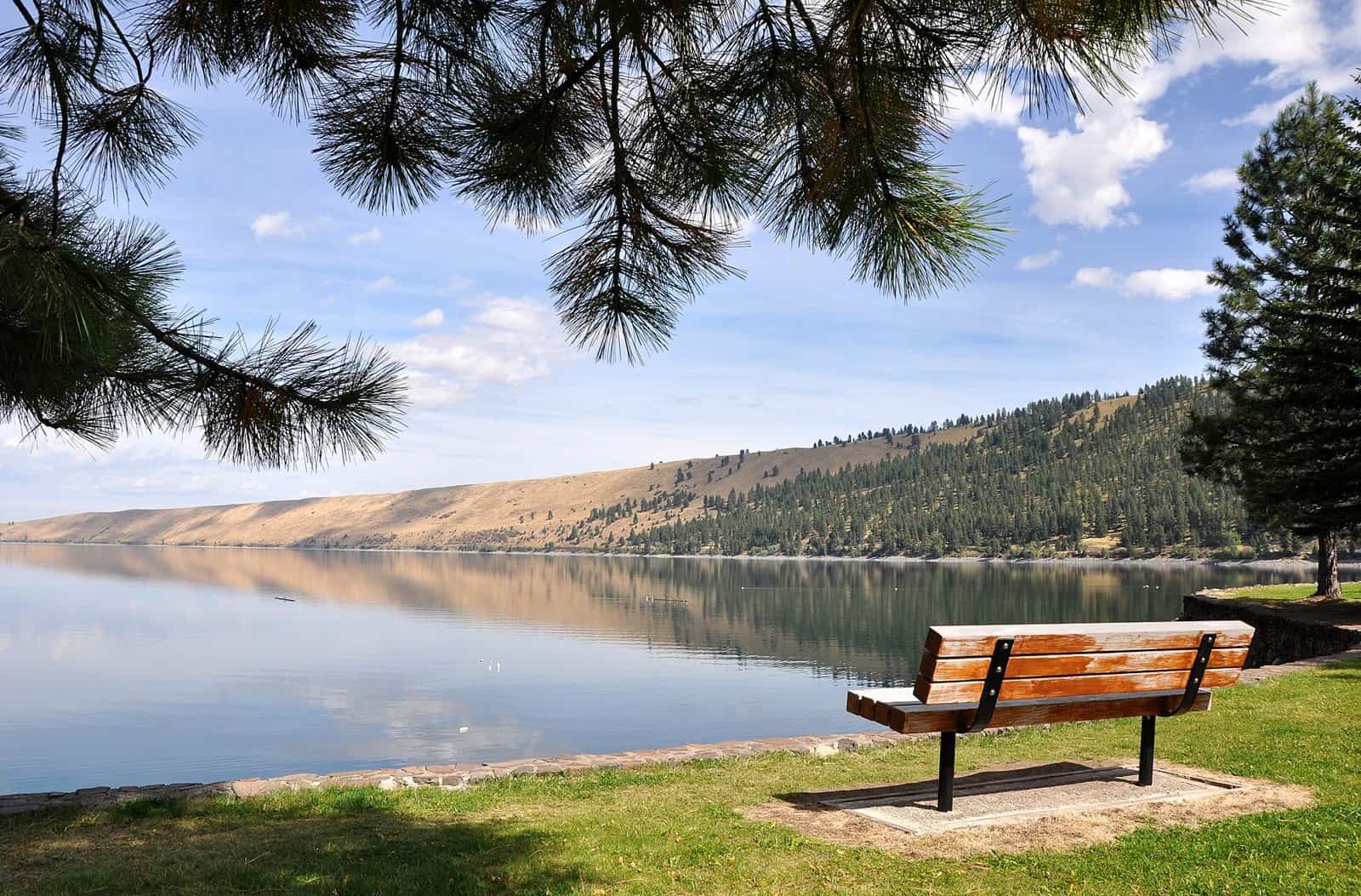
Tucked at the southern end of Wallowa Lake in northeastern Oregon, Wallowa Lake State Recreation Area sits where glacier-carved mountains meet crystal-clear water. The Wallowa Mountains — often called Oregon’s “Little Switzerland” — rise dramatically on three sides, creating one of the most stunning backdrops of any state park in the Pacific Northwest.
The lake itself is the main draw: deep, cold, and impossibly blue, fed by snowmelt from the Eagle Cap Wilderness. Swimming, fishing for kokanee salmon and mackinaw trout, and boating keep visitors busy through the summer months. A day-use area with a sandy beach makes it easy to spend a full afternoon lakeside without a plan.
The park’s campground offers both tent and full-hookup RV sites, many shaded by old-growth conifers. Sites fill fast in July and August — reservations are essential during peak season. For those wanting more comfort, cabins and yurts are also available.
Beyond the lake, the Wallowa Lake Tramway carries riders to the summit of Mount Howard at 8,150 feet, where panoramic views stretch across four states. Trailheads into the Eagle Cap Wilderness are minutes away, offering everything from easy day hikes to multi-day backcountry trips.
The best time to visit is late June through September, when trails are snow-free and lake temperatures are tolerable. Shoulder season in early fall brings golden larches, thinner crowds, and cool mornings perfect for hiking. Come for the scenery — you’ll understand why the Nez Perce considered this valley sacred ground.
Explore Nearby
- Wallowa–Whitman National Forest — National Forest in Oregon, Idaho
- Hells Canyon Scenic Byway — Scenic Byway in Oregon
- Oxbow/Brownlee — Public Land in Idaho
- Virtue Flat Off-Highway Vehicle Area — Public Land in Oregon
- Umatilla National Forest — National Forest in Oregon, Washington