Wallowa Lake Highway Forest State Scenic Corridor
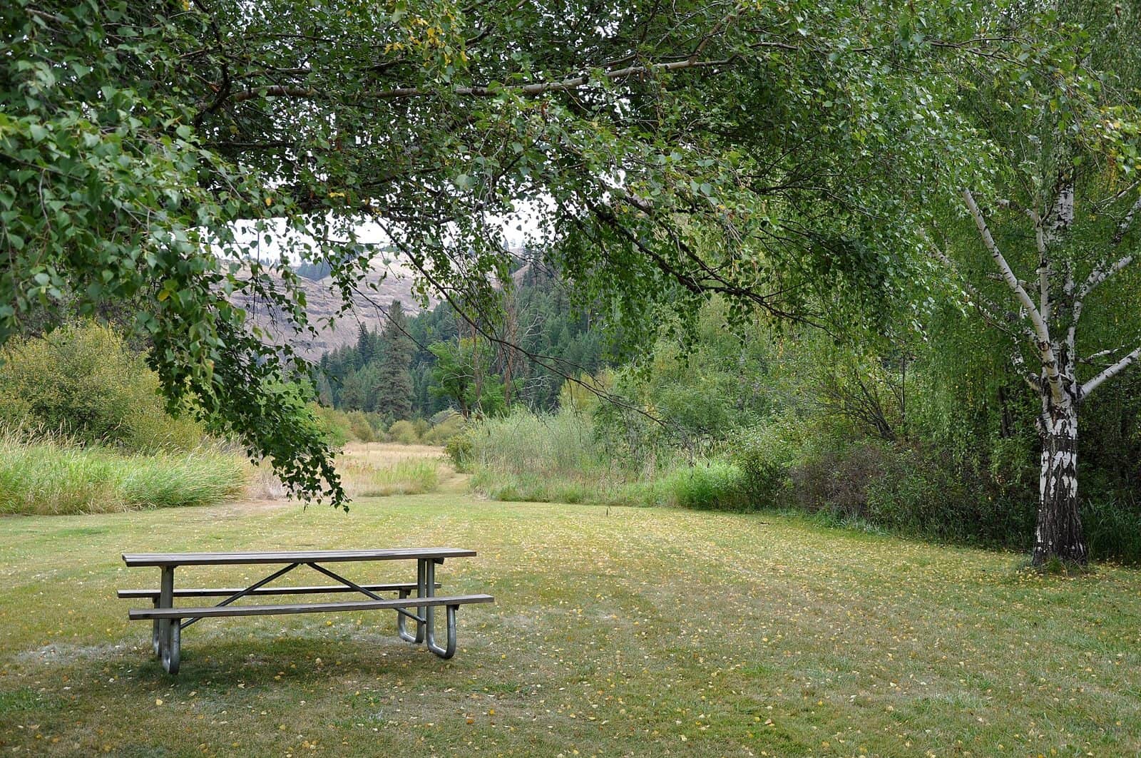
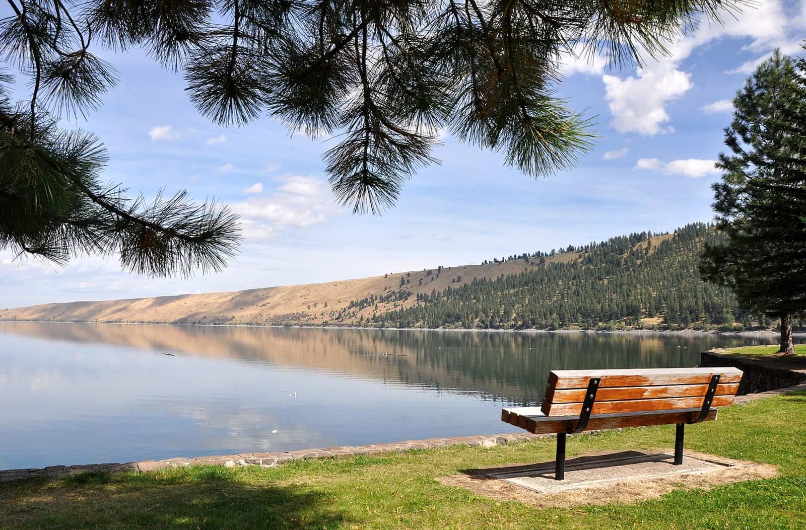
Tucked into the rugged beauty of Eastern Oregon, the Wallowa Lake Highway Forest State Scenic Corridor follows the winding route toward one of the state’s most stunning alpine destinations. This scenic corridor threads through dense stands of ponderosa pine, Douglas fir, and western larch, offering travelers a forested gateway between the town of Joseph and the glacially carved shores of Wallowa Lake.
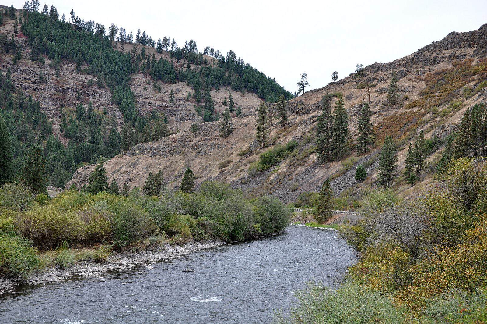
What makes this corridor special is the dramatic transition it captures — from the wide-open ranchlands of the Wallowa Valley into thick, old-growth timber backed by the granite peaks of the Wallowa Mountains, often called the “Alps of Oregon.” The drive itself is the attraction, with pullouts offering views of the Wallowa River and surrounding peaks that climb above 9,000 feet.
Visitors can expect opportunities for hiking, fishing, wildlife watching, and photography along the route. The corridor connects to trailheads leading into the Eagle Cap Wilderness, one of Oregon’s largest and most remote wilderness areas. Mule deer, elk, and bald eagles are common sights, particularly in the shoulder seasons.
For camping, nearby Wallowa Lake State Park offers full-service campsites just minutes from the corridor’s southern end, making it a convenient base for exploring the area.
The best time to visit is late June through September, when roads are clear and wildflowers blanket the high meadows. Fall brings golden larch displays that rival any autumn scene in the Pacific Northwest.
Explore Nearby
- Wallowa–Whitman National Forest — National Forest in Oregon, Idaho
- Hells Canyon Scenic Byway — Scenic Byway in Oregon
- Oxbow/Brownlee — Public Land in Idaho
- Virtue Flat Off-Highway Vehicle Area — Public Land in Oregon
- Umatilla National Forest — National Forest in Oregon, Washington