Catherine Creek State Park sits along the banks of its namesake creek in eastern Oregon’s Grande Ronde Valley, where the Blue Mountains give way to rolling ranchland. This quiet stopover between La Grande and Medical Springs offers something increasingly rare in Oregon’s state park system: solitude without sacrifice.
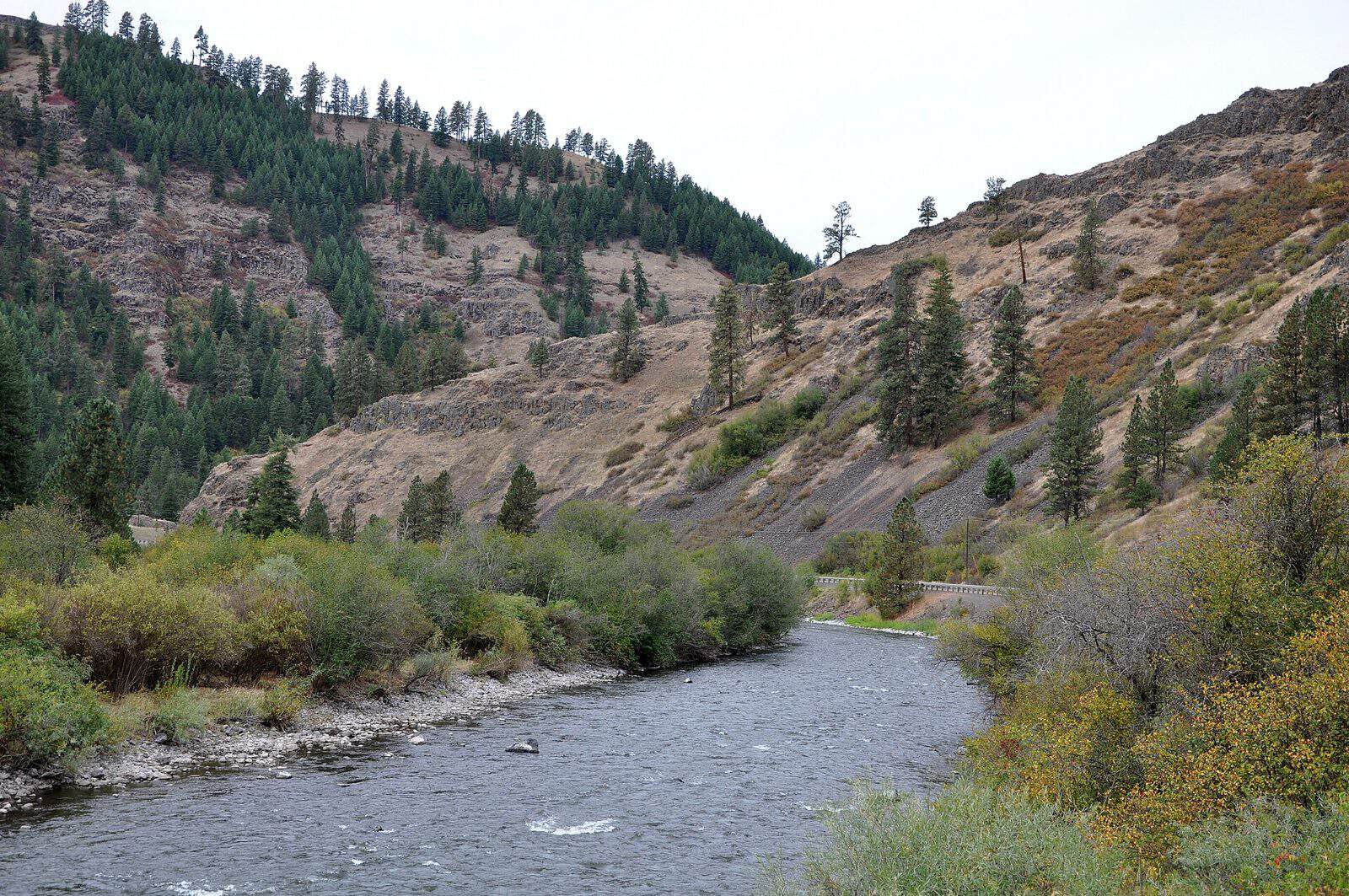
The creek itself is the main draw. Catherine Creek runs cold and clear through the park, supporting native rainbow trout and bull trout populations that bring fly anglers back season after season. Wading the riffled stretches in late spring, when snowmelt from the Elkhorn Range keeps flows healthy, is about as good as small-stream fishing gets in the Pacific Northwest.
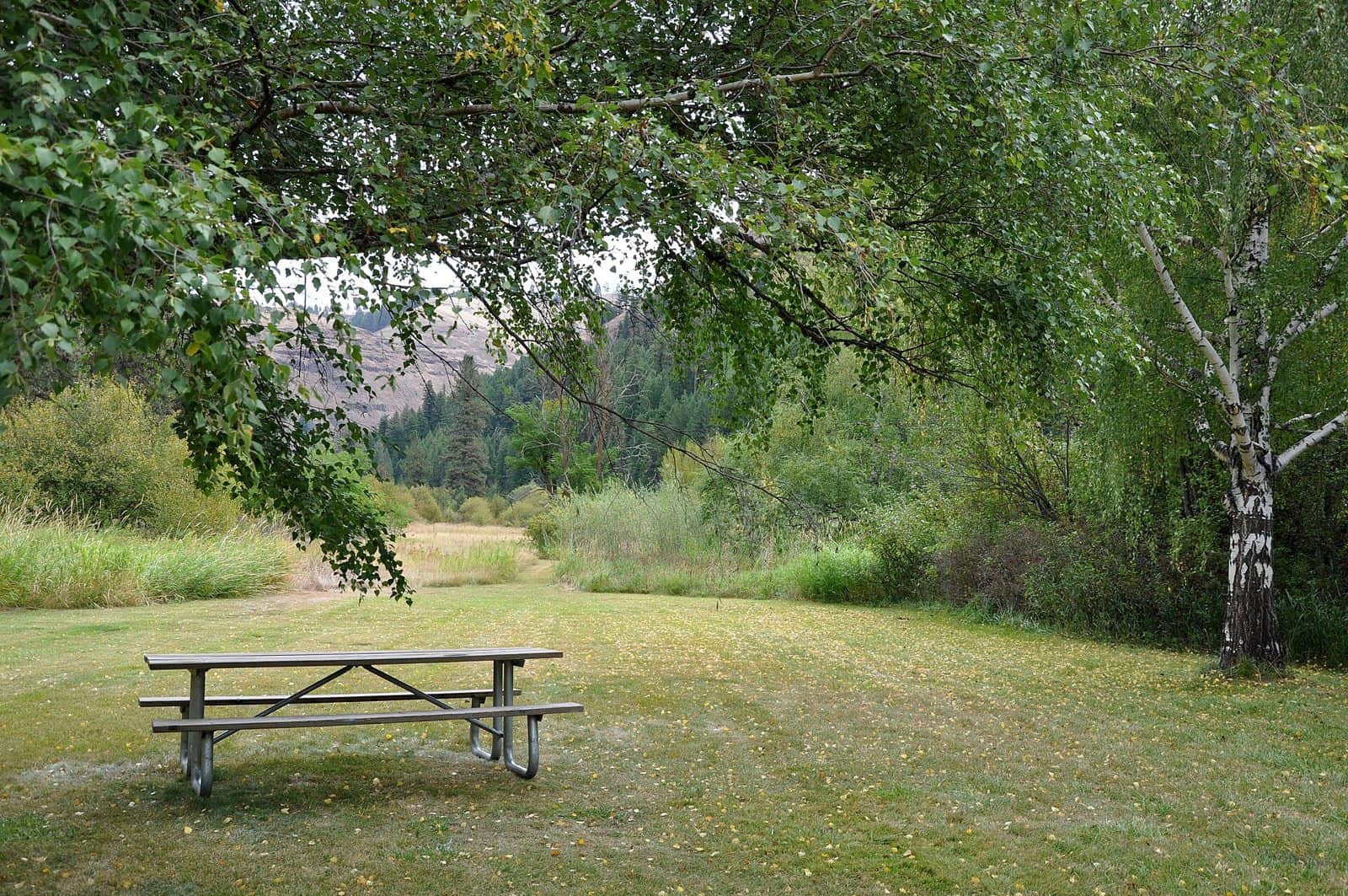
Beyond the water, the park’s cottonwood groves and ponderosa stands make for easy, pleasant walking. Birders will find western tanagers and lazuli buntings in the canopy during migration months. Mule deer move through regularly at dawn and dusk, and the surrounding hills reward anyone willing to explore the informal trails that wind above the creek.
Camping here is rustic — expect basic sites suited to tents and small rigs rather than full-hookup luxury. That simplicity is part of the appeal. You’ll hear the creek at night instead of generators.
Best time to visit: Late May through early October. Spring brings the best water levels for fishing; fall delivers golden cottonwoods and crisp mornings with virtually no crowds.
Catherine Creek State Park won’t make anyone’s viral bucket list, and that’s exactly the point. It’s a park for people who’d rather fish than photograph.
Explore Nearby
- Wallowa–Whitman National Forest — National Forest in Oregon, Idaho
- Virtue Flat Off-Highway Vehicle Area — Public Land in Oregon
- Wallowa & Grande Ronde Wild and Scenic Rivers — Public Land
- Hells Canyon Scenic Byway — Scenic Byway in Oregon
- Umatilla National Forest — National Forest in Oregon, Washington