Utah, located in the western region of the United States, is a state known for its stunning natural beauty, rich history, and vibrant culture. With its towering mountains, expansive deserts, and charming small towns, Utah offers a unique blend of outdoor adventure and cultural experiences. To help visitors and residents navigate this beautiful state, we have created a detailed map of Utah with cities and highways.
This map highlights Utah’s major cities, including Salt Lake City, Provo, Ogden, and St. George, as well as its primary highways and roads. Whether you’re planning a road trip or simply want to explore Utah’s unique landscape and culture, this map is an essential tool. So, grab your map and get ready to discover all that Utah has to offer, from its world-renowned ski resorts to its stunning national parks and everything in between.
Printable Utah Map With Cities and Highways
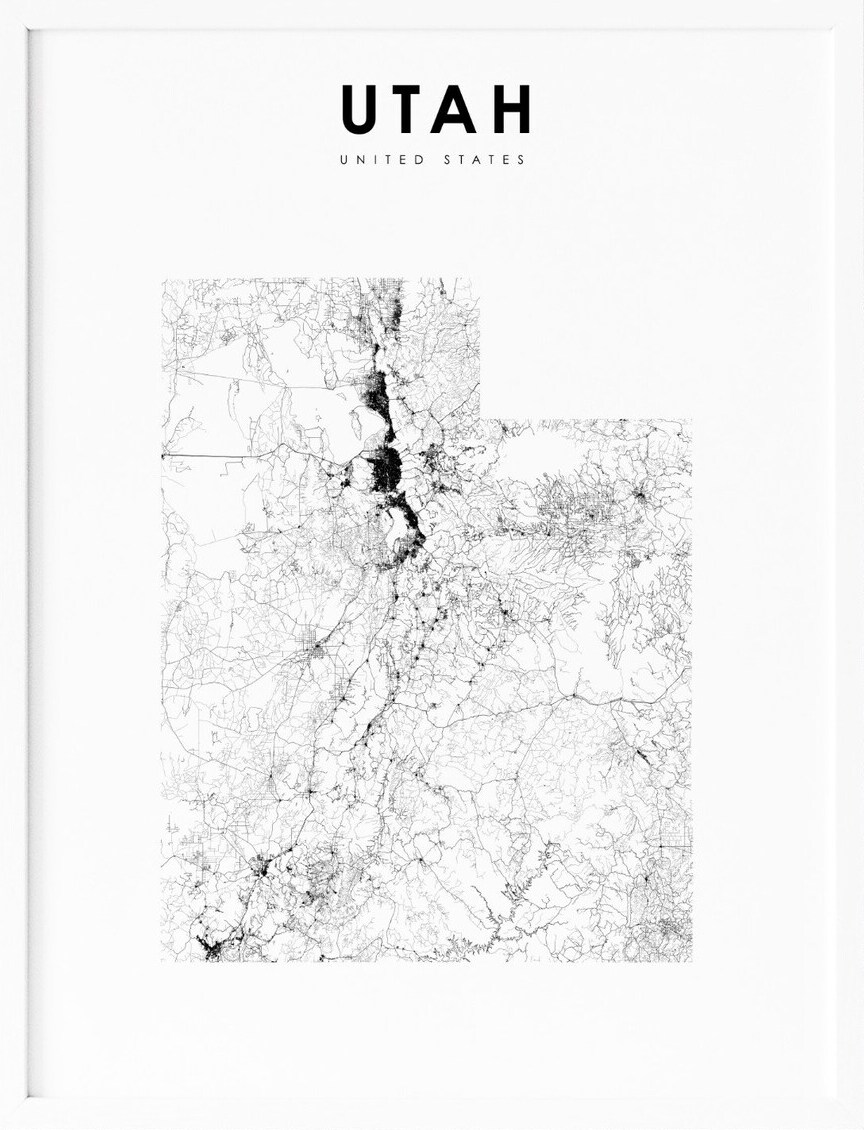
Cities
American Fork
American Fork is a city located in north-central Utah County, Utah, United States. It is situated at the foot of Mount Timpanogos in the Wasatch Range, north of Utah Lake. The city is approximately thirty-two miles southeast of Salt Lake City and is part of the Provo-Orem Metropolitan Statistical Area.
With a population of 33,337 in 2020, American Fork has experienced rapid growth since the 1970s. The city offers a variety of amenities, including parks, museums, and shopping centers. Visitors can also enjoy the scenic beauty of the Wasatch Mountains and Utah Lake. American Fork is known for its strong sense of community and its commitment to education, with several highly-rated schools located within the city.
Brigham City

Brigham City is a city located in Box Elder County, Utah, United States. As of the 2020 census, the population was 19,650, up from 17,899 in 2010. It is the county seat of Box Elder County and lies on the western slope of the Wellsville Mountains, a branch of the Wasatch Range, at the western terminus of Box Elder Canyon.
Brigham City saw most of its growth during the 1950s and 1960s but has experienced a struggling economy and stagnating growth. The city is near the former headquarters of ATK Thiokol, now Northrop Grumman, the company that created the solid rocket boosters for the Space Shuttle. Brigham City is also known for its peaches and holds an annual celebration called Peach Days on the weekend after Labor Day.
The festival includes a parade, car show, carnival, and other activities, with much of Main Street closed off to cars. In 2012, The Church of Jesus Christ of Latter-day Saints dedicated its fourteenth temple in Utah in Brigham City. The city is also the headquarters of the Northwestern Band of the Shoshone Nation, a federally recognized tribe of Shoshone people.
Cedar City
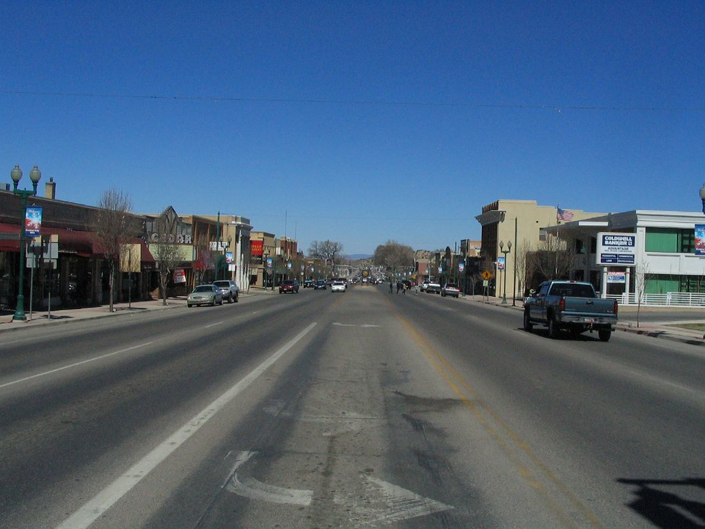
Cedar City is the largest city in Iron County, Utah, United States. It is located 250 miles (400 km) south of Salt Lake City and 170 miles (270 km) north of Las Vegas on Interstate 15. The city is home to several cultural events, including the Utah Shakespeare Festival, the Utah Summer Games, and the Simon Fest Theatre Co.
As of the 2020 census, Cedar City had a population of 35,235, up from 28,857 in the 2010 census. Southern Utah University is also located in Cedar City, adding to the city’s vibrant atmosphere and providing a variety of educational opportunities. The city is surrounded by beautiful natural landscapes, including nearby national parks such as Zion National Park and Bryce Canyon National Park.
Cedar City offers a range of attractions and amenities, from outdoor recreation opportunities to shopping and dining options. With its growing population and thriving cultural scene, Cedar City is a dynamic and exciting place to live or visit in Utah.
Centerville

Centerville is a city located in southeastern Davis County, Utah, United States. It is part of the Ogden-Clearfield Metropolitan Statistical Area and is adjacent to the easternmost part of the Great Salt Lake. The city has a population of 15,335 as of the 2010 census. Centerville offers a variety of amenities, including parks, shopping centers, and restaurants.
The city is known for its scenic beauty, with views of the nearby mountains and access to outdoor recreational activities. Centerville is also home to several historic landmarks, including the Deuel Pioneer Log Home and the Centerville City Hall and Opera House.
The city has a strong sense of community and hosts several annual events, such as the Fourth of July celebration and the Christmas Light Parade. With its small-town charm and proximity to the natural beauty of the Great Salt Lake, Centerville is a great place to live or visit in the locality.
Clinton
Clinton is a city located in Davis County, Utah, United States. It is part of the Ogden-Clearfield, Utah Metropolitan Statistical Area and has a population of 23,386 as of the 2020 United States census, up from 20,426 in the 2010 census.
The city began as a small farming community and experienced rapid growth during the 1990s, continuing to grow at a fast pace with an estimated population of 23,597 in 2021. Clinton offers a range of amenities, including parks, shopping centers, and restaurants.
The city is known for its community events, such as the annual Heritage Days celebration, which includes a parade, carnival, and other activities. Clinton is also home to several historic landmarks, including the Clinton Elementary School, which was built in 1913 and is listed on the National Register of Historic Places. With its growing population and a welcoming sense of community, Clinton is a marvelous local spot.
Draper

Draper is a city located in Salt Lake and Utah counties in the U.S. state of Utah, about 20 miles (32 km) south of Salt Lake City along the Wasatch Front. As of the 2020 census, the population is 51,017, up from 7,143 in 1990.
Draper is part of two metropolitan areas; the Salt Lake County portion is in the Salt Lake City metropolitan area, while the Utah County portion is in the Provo-Orem metropolitan area. The city is home to the Utah State Prison, which is located near Point of the Mountain alongside Interstate 15.
Draper has two UTA TRAX stations and a FrontRunner commuter rail station serving the city’s west side, as well as several bus routes connecting neighboring communities. The city is also home to several major employers, including 1-800 Contacts and a large eBay campus. With its convenient location and prosperous economy, Draper has so much to offer residents and visitors.
Farmington

Farmington is a city located in Davis County, Utah, United States, and serves as the county seat. The city has a population of 24,531 as of the 2020 census. Farmington is home to several major attractions, including the Lagoon Amusement Park and the Station Park transit-oriented retail center, which includes a FrontRunner train station.
Lagoon Amusement Park is a popular destination for families, with a variety of rides, games, and attractions. Station Park offers a range of shopping and dining options, as well as access to public transportation.
Farmington also offers a variety of parks and recreational opportunities, including the Farmington Pond, which is popular for fishing and picnicking. With its wonderful location and range of amenities, Farmington is a great place to live or visit.
Kaysville
Kaysville is a city located in Davis County, Utah, and is part of the Ogden-Clearfield metropolitan area. The city has a population of 27,300 as of the 2010 census, with an estimated population of 32,390 in 2019. Kaysville offers a range of amenities, including parks, shopping centers, and restaurants.
The city is known for its historic downtown area, which features several buildings listed on the National Register of Historic Places. Kaysville is also home to several annual events, such as the Heritage Days celebration, which includes a parade, carnival, and other activities.
The city offers easy access to nearby outdoor recreational opportunities, including hiking and biking trails, as well as nearby ski resorts. With its growing population and a vibrant sense of community, Kaysville is a marvelous local attraction.
Layton
Layton is a city located in Davis County, Utah, United States, and is part of the Ogden-Clearfield Metropolitan Statistical Area. As of the 2020 census, the city had a population of 81,773, with estimates showing a 5% increase to 86,003 by 2023. Layton is the most populous city in Davis County and the tenth most populous in Utah.
The city offers direct access to Salt Lake City, Ogden, Salt Lake City International Airport, Antelope Island, and the FrontRunner commuter rail. Layton is a leader in economic development for the region, with proximity to Hill Air Force Base, a large hospitality district with over 1,000 hotel beds and a conference center, the Layton Hills Mall, multiple nationally recognized retail and food chains, the East Gate Business Park, and the Weber State University-Davis campus.
In 2014, Layton contributed $1.34 billion worth of retail sales activity, making it the second-largest market north of Salt Lake City and the seventh-largest in Utah. With its flourishing population and robust economy, Layton is waiting for you with open arms.
Lehi
Lehi is a city located in Utah County, Utah, United States, and is named after Lehi, a prophet in the Book of Mormon. The city has a population of 75,907 as of the 2020 census, up from 47,407 in 2010. Lehi has experienced rapid growth in recent years, due in part to the development of the tech industry region known as Silicon Slopes.
The city is home to several major tech companies, including Adobe, Xactware, and Podium. Lehi is also home to Thanksgiving Point, a popular destination for families with a variety of attractions, including a museum, gardens, and a dinosaur museum.
The center of the population of Utah is located in Lehi, making it an important location in the state. With its blossoming population and thriving tech industry, Lehi is a great place to live or visit in Utah.
North Ogden
North Ogden is a city located in Weber County, Utah, United States, and is a suburb of Ogden. The city has a population of 20,916 as of the 2020 census and is part of the Ogden-Clearfield, Utah Metropolitan Statistical Area.
North Ogden is located on SR-235, three miles north of Ogden, and offers easy access to nearby outdoor recreational opportunities, including hiking and biking trails, as well as nearby ski resorts. The city is known for its strong sense of community and hosts several annual events, such as the Cherry Days celebration, which includes a parade, carnival, and other activities.
North Ogden offers a range of amenities, including parks, shopping centers, and restaurants. With its convenient location and small-town charm, North Ogden is a tremendous local destination.
Ogden
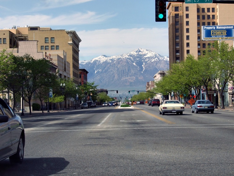
Ogden is a city located in Weber County, Utah, United States, and serves as the county seat. The city has a population of 87,321 as of the 2020 census, making it Utah’s eighth-largest city. Ogden is located approximately 10 miles east of the Great Salt Lake and 40 miles north of Salt Lake City.
The city served as a major railway hub through much of its history and still handles a great deal of freight rail traffic, making it a convenient location for manufacturing and commerce. Ogden is also known for its many historic buildings, proximity to the Wasatch Mountains, and the location of Weber State University.
The city is a principal city of the Ogden–Clearfield, Utah Metropolitan Statistical Area, which includes all of Weber, Morgan, Davis, and Box Elder counties. In 2010, Forbes rated the Ogden-Clearfield MSA as the 6th best place to raise a family. Ogden has had a sister city relationship with Hof in Bavaria, Germany since 1954. With its rich history, beautiful surroundings, and vigorous economy, Ogden is a brilliant place to settle or visit.
Orem
Orem is a city located in Utah County, Utah, United States, in the northern part of the state. The city is adjacent to Provo, Lindon, and Vineyard and is approximately 45 miles south of Salt Lake City. Orem is one of the principal cities of the Provo-Orem, Utah Metropolitan Statistical Area, which includes all of Utah and Juab counties.
The city has a population of 98,129 as of the 2020 census, making it the fifth-most populous city in Utah. Orem is home to Utah Valley University, which is the largest public university in the state outside of Salt Lake City. The city offers a range of amenities, including parks, shopping centers, and restaurants.
Orem is also known for its outdoor recreational pursuits, including hiking and biking trails, as well as nearby ski resorts. With its growing population and thriving university, Orem is a fulfilling area to live or visit in Utah.
Payson

Payson is a city located in Utah County, Utah, United States, and is part of the Provo-Orem Metropolitan Statistical Area. The city has a population of 21,101 as of the 2020 census. Payson offers a range of amenities, including parks, shopping centers, and restaurants.
The city is known for its strong sense of community and hosts several annual events, such as the Salmon Supper, which is a popular event featuring a salmon dinner and other activities. Payson is also home to the Peteetneet Museum and Cultural Arts Center, which features exhibits on local history and culture, as well as a performing arts center.
The city offers easy access to nearby outdoor recreational opportunities, including hiking and biking trails, as well as nearby ski resorts. With its small-town charm and range of amenities, Payson is a wonderful local destination.
Provo
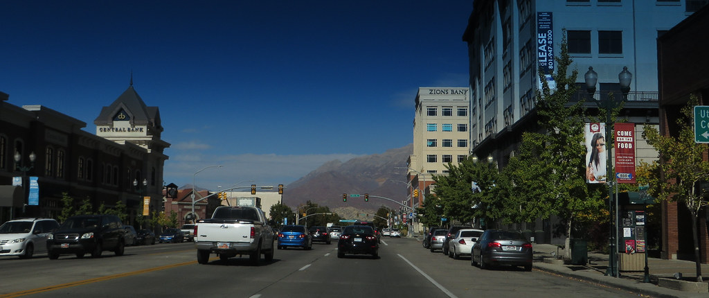
Provo is a city located in and the county seat of Utah County, Utah, United States. The city is 43 miles south of Salt Lake City along the Wasatch Front and lies between the cities of Orem to the north and Springville to the south. Provo has a population of 115,162 as of the 2020 census, making it the fourth-largest city in Utah and the principal city in the Provo-Orem metropolitan area, which had a population of 526,810 at the 2010 census.
Provo is home to Brigham Young University (BYU), a private higher education institution operated by the Church of Jesus Christ of Latter-day Saints (LDS Church). The city also has the LDS Church’s largest Missionary Training Center (MTC).
Provo is a focus area for technology development in Utah, with several billion-dollar startups. The city’s Peaks Ice Arena was a venue for the Salt Lake City Winter Olympics in 2002. With its large student population, thriving tech industry, and beautiful surroundings, Provo is a great place to live or visit in Utah.
Riverton
Riverton is a city located in Salt Lake County, Utah, United States, and is part of the Salt Lake City, Utah Metropolitan Statistical Area. The city has a population of 45,285 as of the 2020 census and is located in the rapidly growing southwestern corner of the Salt Lake Valley.
Riverton offers a range of amenities, including parks, shopping centers, and restaurants. The city is known for its strong sense of community and hosts several annual events, such as the Town Days celebration, which includes a parade, carnival, and other activities.
Riverton is also home to several outdoor recreational opportunities, including hiking and biking trails, as well as nearby ski resorts. With its flourishing population and array of amenities, Riverton is a stimulating place to live and work.
Salt Lake City

Salt Lake City, often shortened to Salt Lake or SLC, is the capital and most populous city of the U.S. state of Utah. It is the seat of Salt Lake County, the most populous county in the state. The city has a population of 200,133 as of the 2020 census, making it the 117th most populous city in the United States. Salt Lake City is the core of the Salt Lake City metropolitan area, which had a population of 1,257,936 at the 2020 census.
The city is further situated within a larger metropolis known as the Salt Lake City–Ogden–Provo Combined Statistical Area, comprising a population of 2,746,164, making it the 22nd largest in the nation. Salt Lake City was founded in 1847 by early pioneer settlers led by Brigham Young, who were seeking to escape persecution they had experienced while living farther east.
The city is known for its strong tourism industry based primarily on skiing, outdoor recreation, and religious tourism. Salt Lake City hosted the 2002 Winter Olympics and is a candidate city for the 2030 Winter Olympics. The city is also home to a significant LGBT community and hosts the annual Utah Pride Festival.
Sandy

Sandy is a city located in Salt Lake County, Utah, United States, and is part of the Salt Lake City metropolitan area. The city has a population of approximately 96,380 according to the July 1, 2019 United States Census estimates.
Sandy is known for its range of amenities, including the Shops at South Town shopping mall, the Jordan Commons entertainment, office and dining complex, and the Mountain America Exposition Center. The city is also home to America First Field, a soccer-specific stadium that hosts Real Salt Lake and Utah Royals FC home games.
Sandy is currently developing a walkable and transit-oriented city center called The Cairns, which emphasizes sustainable living, walkability, and environmentally friendly design while managing population growth and its related challenges. With its friendly population and robust infrastructure, Sandy is a marvelous area to live or work.
South Ogden
South Ogden is a city located in Weber County, Utah, United States, with a population of 17,199 residents. The city had a population of 16,532 at the 2010 census and is part of the Ogden-Clearfield, Utah Metropolitan Statistical Area. Russell L. Porter currently serves as the mayor of South Ogden.
The city offers a range of amenities, including parks, shopping centers, and restaurants. South Ogden is known for its strong sense of community and hosts several annual events, such as the South Ogden Days celebration, which includes a parade, carnival, and other activities.
The city is also home to several outdoor recreational pursuits, including hiking and biking trails, as well as nearby ski resorts. With its small-town atmosphere and variety of amenities, South Ogden is an inspirational local spot.
Spanish Fork

Spanish Fork is a city located in Utah County, Utah, United States, and is part of the Provo-Orem Metropolitan Statistical Area. The city has a population of 42,602 as of the 2020 census, making it the 20th largest city in Utah based on official 2017 estimates from the US Census Bureau.
Spanish Fork is situated in the Utah Valley, with the Wasatch Range to the east and Utah Lake to the northwest. The city is easily accessible via I-15, which passes the northwest side of the city. Nearby cities include Payson, which is approximately six miles to the southwest, Springville, which lies about four miles to the northeast, and Salem, which is approximately 4.5 miles to the south.
Spanish Fork offers a range of amenities, including parks, shopping centers, and restaurants. The city is also home to several outdoor recreational sites offering hiking and biking trails, as well as nearby ski resorts. With its beautiful landscapes and range of amenities, Spanish Fork is a great choice for families, workers, and tourists.
Springville

Springville is a city located in Utah County, Utah, United States, and is part of the Provo-Orem metropolitan area. The city has a population of 35,268 as of the 2020 census. Springville is known as a bedroom community for commuters who work in the Provo-Orem and Salt Lake City metropolitan areas.
The city is also known for its rich artistic culture and has earned the nickname “Art City” or “Hobble Creek”. Springville offers a range of amenities, including parks, shopping centers, and restaurants. The city is also home to several outdoor recreational opportunities, including hiking and biking trails, as well as nearby ski resorts.
Springville’s neighboring cities include Spanish Fork and Mapleton. With its strong sense of community, thriving artistic culture, and beautiful surroundings, Springville is a great place to live or visit in Utah.
Tooele
Tooele is a city located in Tooele County in the U.S. state of Utah. The city has a population of 35,742 as of the 2020 census and is the county seat of Tooele County. Tooele is located approximately 30 minutes southwest of Salt Lake City and is known for its views of the nearby Oquirrh Mountains and the Great Salt Lake.
The city is also home to the Tooele Army Depot, a major employer in the area. Tooele offers a range of amenities, including parks, shopping centers, and restaurants. The city also offers a number of outdoor recreational pursuits, including hiking and biking trails, as well as nearby ski resorts. With its natural surroundings and supportive amenities, Tooele is a great choice for residents and visitors in Utah.
West Jordan
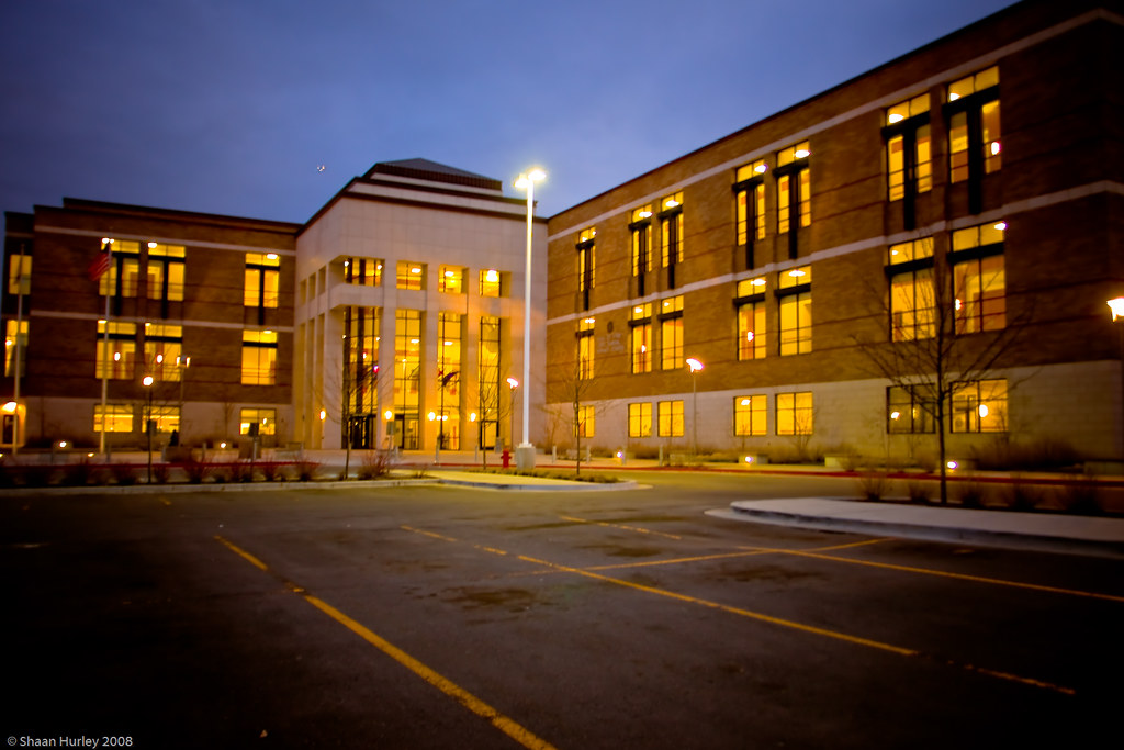
West Jordan is a city located in Salt Lake County, Utah, United States, and is a suburb of Salt Lake City. The city has a population of 116,961 as of the 2020 Census, making it the third most populous city in the state. West Jordan is situated in the southwest end of the Salt Lake Valley, at an elevation of 4,330 feet (1,320 m).
The city is named after the nearby Jordan River, and its limits begin on the river’s western bank and end in the eastern foothills of the Oquirrh Mountains, where Kennecott Copper Mine, the world’s largest man-made excavation, is located. West Jordan has developed into its own regional center, with four major retail centers, including Jordan Landing, one of the largest mixed-use planned developments in the Intermountain West.
The city is also home to several major companies, including Mountain America Credit Union, Lynco Sales & Service, SME Steel, and Cyprus Credit Union. West Jordan offers a range of amenities, including parks, shopping centers, and restaurants, and is home to Jordan Valley Medical Center and a campus of Salt Lake Community College. With its strong economy and range of amenities, West Jordan is a great place to live or visit in Utah.
West Valley City
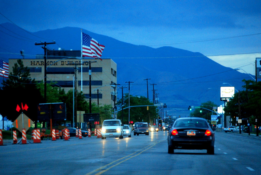
West Valley City is a city located in Salt Lake County, Utah, and is a suburb of Salt Lake City. The city has a population of 140,230 as of the 2020 census, making it the second-most populous city in Utah after Salt Lake City. West Valley City was incorporated in 1980 from a large, quickly growing unincorporated area, combining the four communities of Granger, Hunter, Chesterfield, and Redwood.
The city is home to the Maverik Center, a multi-purpose arena that hosts a range of events, including concerts and sporting events. West Valley City is also home to the USANA Amphitheatre, an outdoor amphitheater that hosts concerts during the summer months. The city offers a range of amenities, including parks, shopping centers, and restaurants. With its growing population and tremendous amenities, West Valley City is a brilliant local spot to visit or move to.
Interstates
Interstate 15
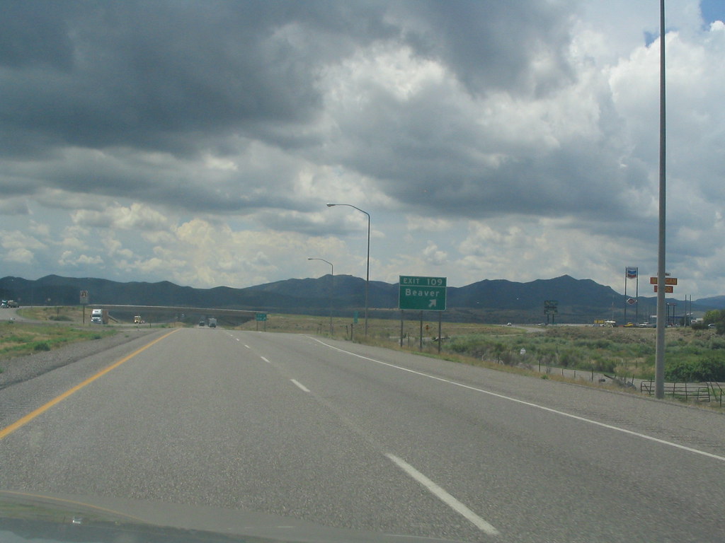
Interstate 15 (I-15) is an important north-south highway that runs through the southwestern and central portions of Utah. It passes through most of the state’s population centers, including St. George and the Wasatch Front cities of Provo-Orem, Salt Lake City, and Ogden-Clearfield.
As the vast majority of the state’s population lives along its corridor, I-15 is Utah’s primary and only north-south interstate highway. The Logan metropolitan area is the only Metropolitan Statistical Area in Utah through which I-15 does not pass.
In 1998, the Utah State Legislature designated Utah’s entire portion of the road as the Veterans Memorial Highway, recognizing the sacrifices made by veterans in service to their country. I-15 is an essential highway for transportation and commerce in Utah, connecting major population centers and facilitating the movement of goods and people.
Interstate 80

Interstate 80 (I-80) is an important part of the Interstate Highway System that runs from San Francisco, California, to Teaneck, New Jersey. In Utah, I-80 is 197.51 miles (317.86 km) long and runs through the northern part of the state. The highway crosses the state line from Nevada in Tooele County and traverses the Bonneville Salt Flats, which are part of the larger Great Salt Lake Desert.
I-80 was built along the corridor of the Lincoln Highway and the Mormon Trail through the Wasatch Range, and the easternmost section follows the historical routes of the first transcontinental railroad and US-30S. The highway is also known as the Purple Heart Trail throughout the state.
Construction of the controlled-access highway began in the 1950s, and by the late 1970s, most of the freeway across Utah had been completed. The last piece of the nearly 2,900-mile-long (4,700 km) freeway to be completed was the 4.5-mile-long (7.2 km) section of I-80 between State Route 68 (SR-68, Redwood Road) and Salt Lake City International Airport, which was opened on August 22, 1986.
Interstate 70

Interstate 70 (I-70) is a major east-west route of the Interstate Highway System in the United States, connecting Utah and Maryland. The Utah section of I-70 runs for approximately 232 miles (373 km) across the central part of the state, with Richfield being the largest Utah city served by the freeway.
Unlike most Interstate Highways, much of I-70 in Utah was not constructed parallel to or on top of an existing U.S. Route, and portions of it were built in areas where there were no paved roads. As a result, I-70 has many unique features in the Interstate Highway System. For example, the 110 miles (180 km) between Green River and Salina makes up the longest distance anywhere in the system with no motorist services.
The construction of the Utah portion of I-70 is listed as one of the engineering marvels of the Interstate Highway System. I-70 from Green River to Grand Junction, Colorado, is part of the Dinosaur Diamond Prehistoric Highway, making it one of the few Interstate Highways to be named a National Scenic Byway. The route passes through a number of scenic areas, including Arches National Park, Canyonlands National Park, and Goblin Valley State Park.
Interstate 84
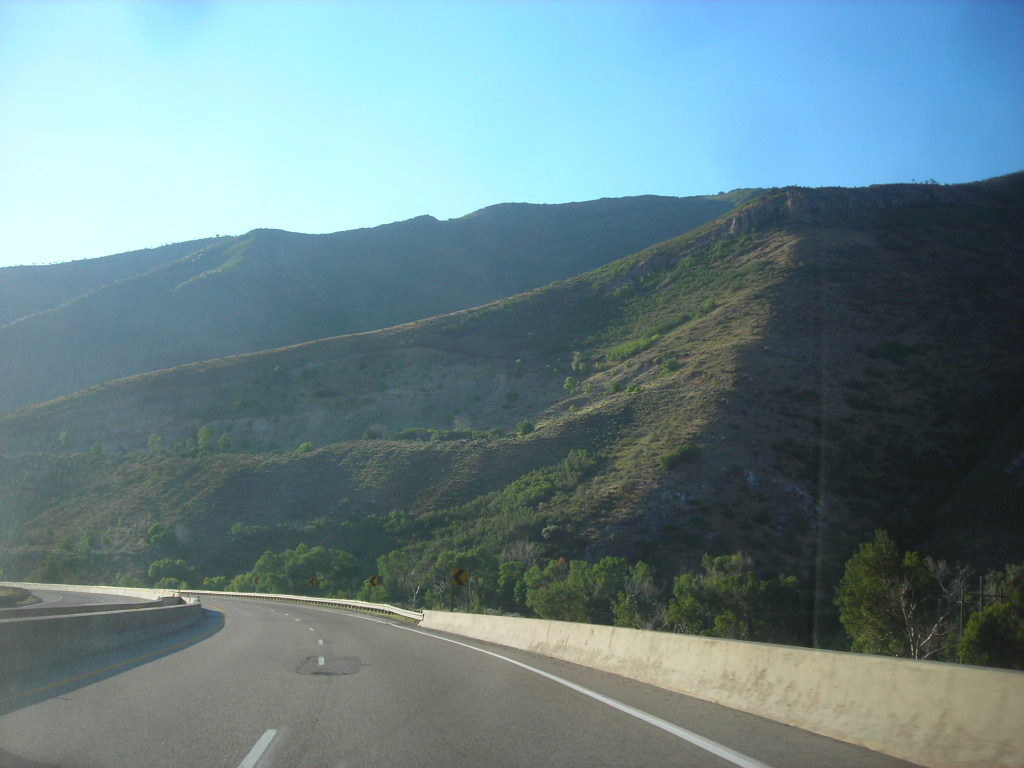
Interstate 84 (I-84) is an important part of the Interstate Highway System that links Portland, Oregon, to I-80 near Echo, Utah. The 117.38-mile-long (188.90 km) segment in Utah is the shortest of any of the three states the western I-84 passes through and contains the eastern terminus of the highway. I-84 enters Box Elder County near Snowville before becoming concurrent with I-15 in Tremonton.
The concurrent highways travel south through Brigham City and Ogden and separate near Ogden-Hinckley Airport. The highway then turns east along the Davis County border, intersects US Route 89 (US-89), and enters Weber Canyon as well as Morgan County. While in Morgan County, I-84 passes the Devil’s Gate-Weber Hydroelectric Power Plant and Devil’s Slide rock formation.
Past Morgan, the highway crosses into Summit County and reaches its eastern terminus at I-80 near Echo. Construction of the controlled-access highway began in the late 1950s under the designations Interstate 82S (I-82S) and Interstate 80N (I-80N). The highway was renumbered I-84 by the American Association of State Highway and Transportation Officials (AASHTO) in 1977. By 1986, construction of the freeway had been completed across the three states.
Highways
Route 6

U.S. Route 6 (US-6) is an important east-west United States Numbered Highway that runs through the central part of Utah. Although it is only about 40 miles (64 km) longer than US-50, it serves more populated areas and follows what had been US-50’s routing until it was moved to follow Interstate 70 (I-70) in 1976.
In 2009, part of the route was named the “Mike Dmitrich Highway” by the Utah State Legislature, after the Utah state senator. However, this generated controversy, as the state of Utah had previously joined with all the other states through which US-6 passes in naming all of US-6 the Grand Army of the Republic Highway.
Despite the controversy, US-6 remains an important route for transportation and commerce in Utah, connecting major population centers and facilitating the movement of goods and people.
Route 40

U.S. Route 40 (US-40) begins in the state of Utah at Silver Creek Junction in Silver Summit, located about 20.7 miles (33.3 km) east of Salt Lake City, where it intersects with Interstate 80. From there, the highway heads southeast through Heber City before continuing east into Colorado on its way to the Mid-Atlantic.
US-40 is an important route for transportation and commerce in Utah, connecting major population centers and facilitating the movement of goods and people. The highway passes through a variety of landscapes, from mountainous regions to desert terrain, and provides access to a number of popular recreational areas, including the Uinta Mountains and the Wasatch Mountains.
Route 50
U.S. Route 50 (US-50) in Utah crosses the center of the state, serving no major population centers along its path except for Delta, which is the largest city. The majority of the route passes through remote, desolate areas. Through the eastern half of the state, the route is concurrent with Interstate 70 (I-70).
US-50 enters and exits Utah concurrently with US-6, but the two routes are separate through the center of the state. The routing of US-50 between Green River and Ely, Nevada, has changed three times, with newer roads being paved through the largely uninhabited region of both states.
The earlier routings were a result of a dispute between Utah and Nevada over which auto trails would be paved and converted to U.S. Highways. Despite its remote location and lack of major population centers, US-50 remains an important route for transportation and commerce in Utah, connecting communities and facilitating the movement of goods and people.
Route 89

U.S. Route 89 (US 89) is the longest road in Utah, spanning more than 502 miles (807.891 km) through the central part of the state as a north-south United States Highway. Between Provo and Brigham City, US-89 serves as a local road, running parallel to (and occasionally concurrent with) Interstate 15. However, the portions from Arizona north to Provo and Brigham City northeast to Wyoming serve separate corridors.
The former provides access to several national parks and Arizona, while the latter connects I-15 with Logan, the state’s only Metropolitan Statistical Area not on the Interstate. When US-89 was established in Utah in 1926, the road initially extended north to US-91 in Spanish Fork. Following the extension of the former to the Canada–US border, Interstate 15 was constructed roughly paralleling US-89 to the west and replacing US-91 south of Brigham City.
During this process, US-89 was rerouted in southern Utah and northern Arizona, with the old roadway becoming US-89A. Despite these changes, US-89 remains an important route for transportation and commerce in Utah, connecting communities and providing access to scenic areas and national parks.
Route 91
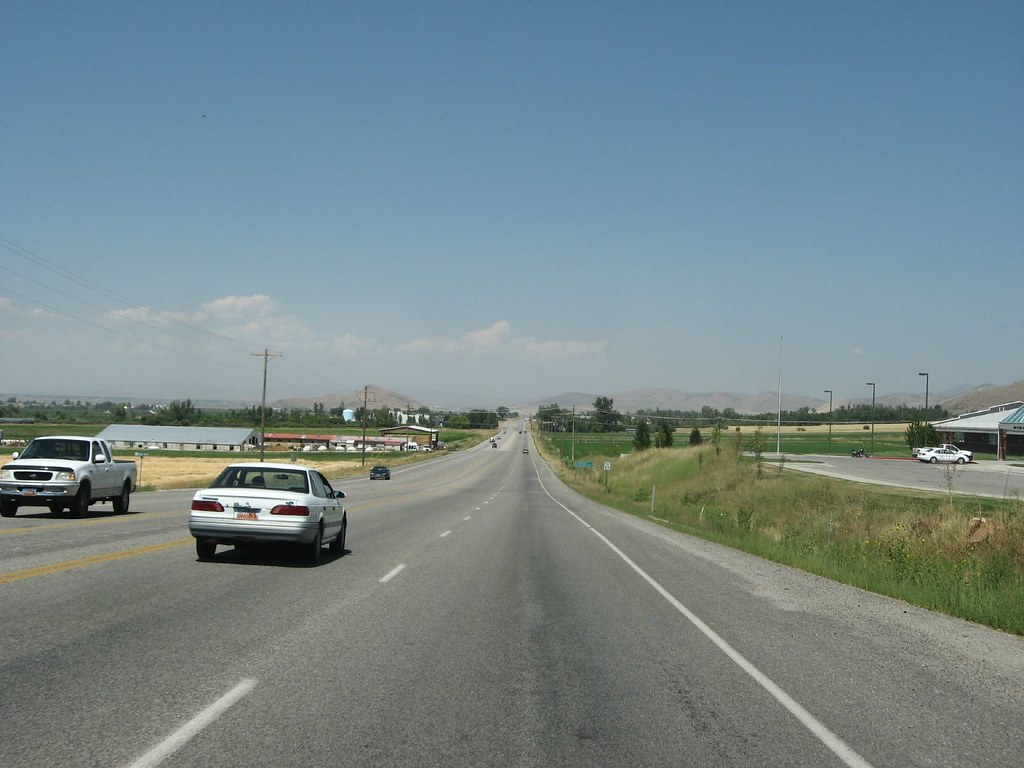
U.S. Route 91 (US 91) begins at Brigham City, where it was originally routed through the city but now runs on a southern bypass. In Brigham City, US 89 becomes concurrent with US 91. The highway climbs the Wellsville Mountains, colloquially called “Sardine Canyon” after the canyon originally used by the first settlers to mark a trail to Cache Valley.
A new route was constructed in the 1950s that uses the same mountain pass, Sardine Summit, as the old road, but follows different canyons down from the summit. Despite the modern route of US 91 no longer using Sardine Canyon, the name continues to be used by locals and news media alike in describing the traffic, weather conditions, or scenery along the entire grade across the Wellsville Mountains.
US 91 enters the Cache Valley, where it serves as the major thoroughfare, passing through Logan, the largest city in the valley. At Logan, US 89 splits off to the east towards Bear Lake, while US 91 continues north through the valley to the Idaho state line. The Utah section of US 91 is defined by Utah Code Annotated § 72-4-115(1) and the segment south of the SR-142 intersection in Richmond is included in the National Highway System.
Route 163
U.S. Route 163 (US 163) in Utah begins in Monument Valley, San Juan County, where it junctions with the Monument Valley Visitors Center. After entering Utah, the highway proceeds northeast until the town of Mexican Hat, where it crosses the San Juan River and exits the Navajo Nation. From Mexican Hat, the highway travels east, crossing the Comb Ridge toward its terminus in Bluff.
A significant portion of the Utah section of the route north of the Navajo Nation is inside the boundaries of the Bears Ears National Monument. The former route continued along what is now signed US 191 to I-70, but the portion north of Bluff was not signed after the creation of US 191 and was formally removed in 2008.
The length of US 163 in Utah has been designated the Bluff to Monument Valley Scenic Byway by the Utah State Legislature and forms part of the Trail of the Ancients National Scenic Byway. US 163 has been featured in numerous western movies, and a specific view area near Utah mile marker 13 has recently been given the nickname Forrest Gump Hill, as a location from the movie Forrest Gump. It has become common for fans of the film to recreate the scene where the title character ends a cross-country jog at this point on US 163.
Route 189
U.S. Route 189 (US-189) begins in Provo as University Avenue, named after Brigham Young University. The highway winds up Provo Canyon, passing by Deer Creek Reservoir and paralleling the route of the Heber Creeper, which is now known as the Heber Valley Railroad.
The portion in Provo Canyon is designated the Provo Canyon Scenic Byway by the state legislature. The highway exits Provo Canyon near Heber City, where it meets U.S. Route 40 and is co-signed with Route 40 all the way to its junction with I-80. Prior to the construction of the Jordanelle Reservoir, the highway continued north concurrently with the former alignment of US-40 which is now underwater.
US-40 and 189 separated at Hailstone, which is also now under the lake. US-189 emerged from the lake shore along the route now signed State Route 32. The Utah section of US-189 is defined in Utah Code Annotated § 72-4-124(2). The highway has played an important role in connecting communities and facilitating the movement of goods and people in Utah.
Route 191
U.S. Route 191 (US-191) is a major 404.168-mile (650.445 km) north-south U.S. Numbered Highway through eastern Utah, stretching from Mexico to Canada. The current alignment of US-191 through Utah was created in 1981. Previously, the route had entered northern Utah, ending at US-91 in Brigham City, but with the completion of I-15, it was truncated to Yellowstone National Park and re-extended on a completely different alignment.
In addition to a large portion of US-163, this extension absorbed several state routes, including SR-33, most of SR-44, and SR-260. US-191 plays a key role in connecting communities and providing access to scenic areas and national parks in eastern Utah. The highway passes through several towns, including Moab, Blanding, and Monticello, and provides access to Canyonlands National Park, Arches National Park, and the Needles District of Canyonlands National Park.
Route 491
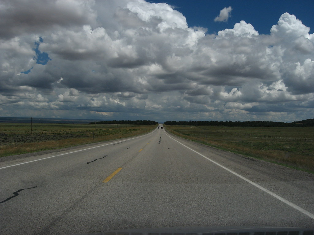
U.S. Route 491 (US-491) gradually ascends to the Abajo Mountains once it enters Utah. The highway passes through large farming regions and reaches an elevation of 7,000 feet (2,100 m) before arriving at a weigh station and the town of Monticello.
US-491 enters Monticello on Central Street and terminates near the city park at an intersection with US-191, which runs along Main Street. The highway has played a vital role in connecting communities and facilitating the movement of goods and people in southeastern Utah. All highways in Utah are codified into law, and US-491 is defined in Utah Code Annotated §72-4-137(11).

