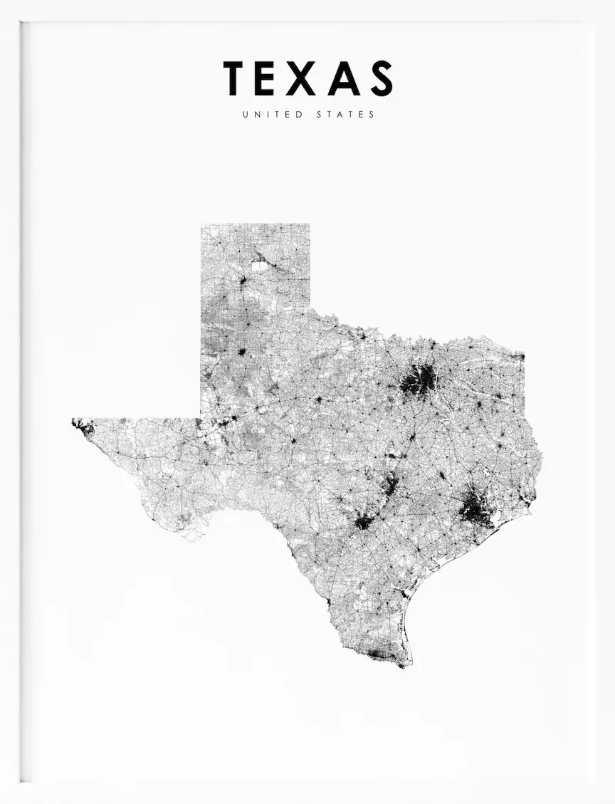
Texas, located in the southern region of the United States, is a state known for its vast size, diverse landscape, and exciting culture. With its expansive deserts, towering mountains, and bustling urban centers, Texas offers a unique blend of outdoor adventure and cultural experiences. To help visitors and residents navigate this beautiful state, we have created a detailed map of Texas with cities and highways.
This map highlights Texas’s major cities, including Houston, Dallas, Austin, and San Antonio, as well as its primary highways and roads. Whether you’re planning a road trip or simply want to explore Texas’s fascinating landscape and culture, this map is an essential tool. So, grab your map and get ready to discover all that Texas has to offer, from its world-renowned barbecue to its stunning national parks and everything in between.
Printable Texas Map With Cities and Highways
Cities
Houston

Houston is a major city in Texas, known for its diverse population and strong economy. As the most populous city in Texas and in the Southern United States, Houston has a population of 2,302,878 as of 2022, making it the fourth-most populous city in the United States. Houston is located in Southeast Texas near Galveston Bay and the Gulf of Mexico and is the seat and largest city of Harris County.
The city is the principal city of the Greater Houston metropolitan area, which is the fifth-most populous metropolitan statistical area in the United States and the second-most populous in Texas after Dallas–Fort Worth. Houston is a major center for healthcare and research, with the world’s largest concentration of healthcare institutions located in the Texas Medical Center.
The city is also home to NASA’s Johnson Space Center and is a major hub for the energy, manufacturing, aeronautics, and transportation industries. Houston’s diverse population and cultural institutions, including the Museum District and Theater District, make it a vibrant and dynamic city.
San Antonio

San Antonio is a vibrant city located in Bexar County, Texas, United States. As the seventh-most populous city in the United States and the second-largest in the Southern United States, San Antonio has a population of 1,434,625 residents as of 2020, making it the second-most populous city in Texas after Houston and the 17th-most populous city in North America.
San Antonio was founded as a Spanish mission and colonial outpost in 1718, and it became the first chartered civil settlement in what is now present-day Texas in 1731. As the oldest municipality in Texas, San Antonio celebrated its 300th anniversary on May 1, 2018.
The city is also home to five 18th-century Spanish frontier missions, including The Alamo and San Antonio Missions National Historical Park, which were designated as UNESCO World Heritage sites in 2015. San Antonio is a major tourist destination and is visited by about 32 million tourists a year.
It is also home to several Fortune 500 companies and the South Texas Medical Center, the only medical research and care provider in the South Texas region. San Antonio is the largest majority-Hispanic city in the United States, with 64% of its population being Hispanic.
Dallas
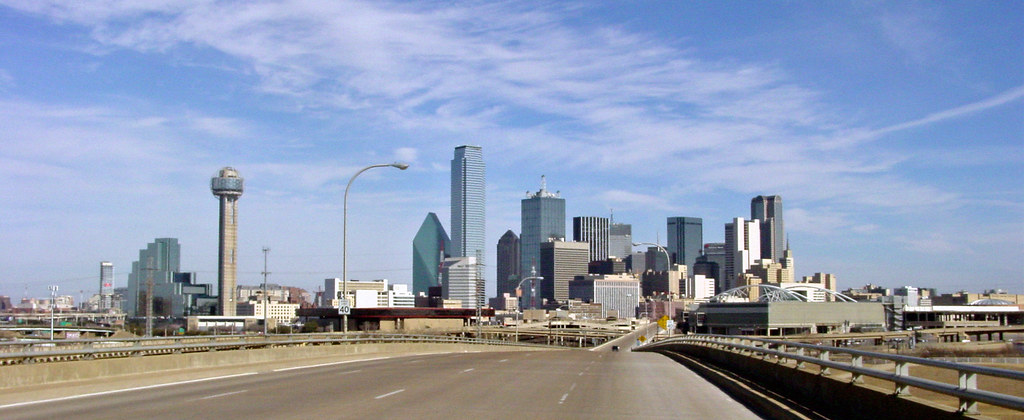
Dallas is a major city in Texas and the most populous in the Dallas–Fort Worth metroplex, the fourth-largest metropolitan area in the United States with a population of 7.5 million people. As the most populous city in and seat of Dallas County, Dallas has a 2020 census population of 1,304,379, making it the ninth-most populous city in the U.S. and the third-most populous city in Texas after Houston and San Antonio.
Dallas is the main core of the largest metropolitan area in the Southern United States and the largest inland metropolitan area in the U.S. that lacks any navigable link to the sea. The city’s development is linked to the construction of major railroad lines through the area, allowing access to cotton, cattle, and later oil in North and East Texas.
As a transportation hub, Dallas developed into a strong industrial and financial center and a major inland port, with four major interstate highways converging in the city and the construction of the Dallas/Fort Worth International Airport. Dallas is home to 23 Fortune 500 companies, the second-most in Texas and fourth-most in the United States, and 11 of those companies are located within Dallas city limits.
The city has a diverse economy, with dominant sectors including defense, financial services, information technology, telecommunications, and transportation. Dallas also has a large LGBT community and was named the fifth-most diverse city in the United States by WalletHub in 2018.
Austin

Austin is the capital city of the U.S. state of Texas and the seat and most populous city of Travis County, with portions extending into Hays and Williamson counties. Incorporated on December 27, 1839, Austin is the 10th most populous city in the United States, the 4th most populous city in Texas, and the 2nd most populous state capital city.
As of 2021, Austin had an estimated population of 964,177, up from 961,855 at the 2020 census. The city is the cultural and economic center of the Austin–Round Rock metropolitan statistical area, which had an estimated population of 2,421,115 as of July 1, 2022. Austin is known for its diverse mix of government employees, college students, musicians, high-tech workers, and blue-collar workers.
The city’s official slogan promotes Austin as “The Live Music Capital of the World”, and it is home to numerous lakes, rivers, and waterways, including Lady Bird Lake and Lake Travis on the Colorado River. Austin is also a center for technology and business, with several Fortune 500 companies having headquarters or regional offices in the city. The University of Texas at Austin, one of the largest universities in the U.S., is also located in the city.
Fort Worth

Fort Worth is the 5th-most populous city in the U.S. state of Texas and the 13th-most populous city in the United States. It is the county seat of Tarrant County, covering nearly 350 square miles into four other counties: Denton, Johnson, Parker, and Wise. According to a 2022 United States census estimate, Fort Worth’s population was 956,709.
Fort Worth is the second-largest city in the Dallas–Fort Worth–Arlington metropolitan area, which is the fourth-most populous metropolitan area in the United States, and the most populous in Texas. The city was established in 1849 as an army outpost on a bluff overlooking the Trinity River and has historically been a center of the Texas Longhorn cattle trade.
Despite being overshadowed by nearby Dallas in terms of population, Fort Worth has become one of the fastest-growing cities in the United States since the turn of the 21st century, nearly doubling its population since 2000.
Fort Worth is home to several museums designed by contemporary architects, including the Kimbell Art Museum, the Modern Art Museum of Fort Worth, and the Amon Carter Museum of American Art. The city is also the location of several university communities, multinational corporations, and major transportation hubs.
El Paso
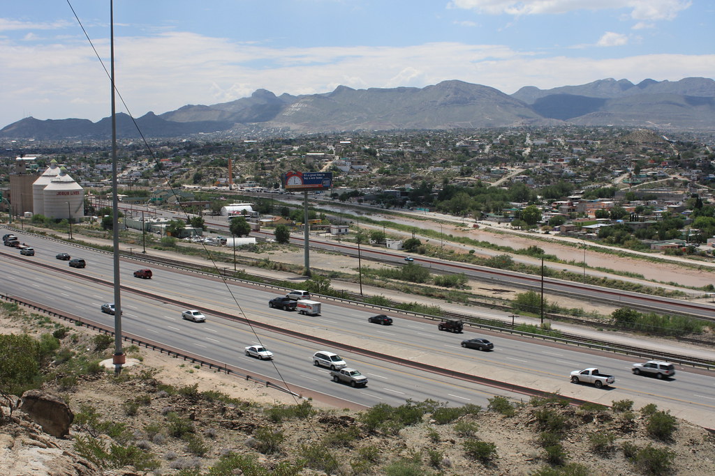
El Paso is a city in and the county seat of El Paso County, Texas, United States. The 2020 population of the city from the U.S. Census Bureau was 678,815, making it the 22nd-most populous city in the U.S., the most populous city in West Texas, and the sixth-most populous city in Texas.
The city has the largest Hispanic population share of main cities in the U.S. at 81%. El Paso stands on the Rio Grande across the Mexico–United States border from Ciudad Juárez, the most populous city in the Mexican state of Chihuahua. The city is home to the Medical Center of the Americas, the only medical research and care provider complex in West Texas and Southern New Mexico, and the University of Texas at El Paso, the city’s primary university.
El Paso has a strong federal and military presence, with William Beaumont Army Medical Center, Biggs Army Airfield, and Fort Bliss located in the area. The city has won the All-America City Award five times and has been ranked as one of the safest large cities in the United States by Congressional Quarterly.
Arlington
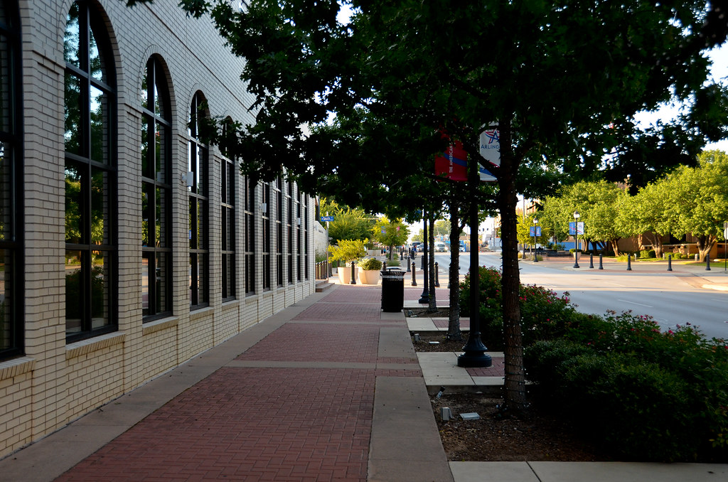
Arlington is a city located in Tarrant County, Texas, and forms part of the Mid-Cities region of the Dallas–Fort Worth–Arlington metropolitan statistical area. It is the second-largest city in the county, after Fort Worth, and the third-largest city in the metropolitan area, after Dallas and Fort Worth.
With a population of 394,266 in 2020, Arlington is the 50th-most populous city in the United States, the seventh-most populous city in the state of Texas, and the largest city in the state that is not a county seat. The city is home to several notable organizations and institutions, including the University of Texas at Arlington, a major urban research university, and the Arlington Assembly plant used by General Motors.
Arlington is also known for its sports teams, hosting the Texas Rangers at Globe Life Field, the Dallas Cowboys at AT&T Stadium, and the Dallas Wings at College Park Center. The city also boasts theme parks such as Six Flags Over Texas and Hurricane Harbor and houses the International Bowling Campus, which includes the United States Bowling Congress, International Bowling Museum, and the International Bowling Hall of Fame.
Corpus Christi

Corpus Christi is a coastal city in the South Texas region of the U.S. state of Texas and the county seat and largest city of Nueces County. Portions of the city also extend into Aransas, Kleberg, and San Patricio counties. It is located 130 miles southeast of San Antonio and 208 miles southwest of Houston, and its political boundaries encompass Nueces Bay and Corpus Christi Bay.
The city’s population was 317,863 in 2020, making it the eighth-most populous city in Texas, while the Corpus Christi metropolitan area had an estimated population of 442,600. The region is served by the Corpus Christi International Airport and is home to the fifth-largest port in the United States, the Port of Corpus Christi.
The city’s name means “body of Christ” in Ecclesiastical Latin, in reference to the Christian sacrament of Holy Communion. It was given to the settlement and surrounding bay by Spanish explorer Alonso Álvarez de Pineda in 1519, as he discovered the lush semitropical bay on the Western Christian feast day of Corpus Christi. Corpus Christi is also home to Naval Air Station Corpus Christi, which trains primary student pilots and advanced multiengine pilots of the US Navy, US Marine Corps, and US Coast Guard.
Plano

Plano is a city located north of Dallas in the U.S. state of Texas. With a population of 285,494 at the 2020 census, it is the ninth most populous city in Texas and the 72nd most populous city in the United States. Plano is the largest city in Collin County and one of the principal cities of the Dallas-Fort Worth metropolitan area.
The city’s economy is a large part of Dallas’ economy, with many large companies such as Frito Lay, JCPenney, and Pizza Hut calling Plano home. In addition, Plano has been recognized as one of the fastest-growing cities in the country and one of the best places to live.
Lubbock
Lubbock is the 10th-most populous city in Texas and the seat of government of Lubbock County. With a population of 263,930 in 2022, the city is also the 85th-most populous in the United States. Located in the northwestern part of the state, Lubbock is part of the Great Plains region and ecologically is part of the southern end of the High Plains.
It is the economic, educational, and healthcare hub of the multicounty region, north of the Permian Basin and south of the Texas Panhandle, commonly called the South Plains. The area is the largest contiguous cotton-growing region in the world and is heavily dependent on water from the Ogallala Aquifer for irrigation. Lubbock is also home to Texas Tech University, the sixth-largest college by enrollment in the state. The city’s nickname, “Hub City,” derives from its central location and importance to the surrounding region.
Laredo
Laredo is a city in and the county seat of Webb County, Texas, located on the north bank of the Rio Grande in South Texas, across from Nuevo Laredo, Tamaulipas, Mexico. The city has the distinction of flying seven flags, including the flag of the former Republic of the Rio Grande, which is now the flag of the city, in addition to the Six Flags of Texas.
Founded in 1755, Laredo grew from a village to the largest inland port on the Mexican border. Its economy is primarily based on international trade with Mexico, and it serves as a major hub for land, rail, and air cargo transportation. Laredo is also notable for its high Hispanic proportion, with over 95% of the population identifying as Hispanic Americans, making it the highest proportion of any city in the United States outside of Puerto Rico.
The city’s population was 255,205 in 2020, making it the 11th-most populous city in Texas and the third-most populated U.S. city on the Mexican border, after San Diego, California, and El Paso, Texas. Laredo is home to Texas A&M International University and Laredo College, and its biggest festival, Washington’s Birthday Celebration, attracts hundreds of thousands of tourists each year.
Irving

Irving is an inner-ring suburb of Dallas and part of the Dallas-Fort Worth metroplex, located in Dallas County. According to a 2019 estimate from the United States Census Bureau, the city has a population of 239,798, making it the thirteenth-most populous city in Texas and the 93rd most populous city in the United States.
Irving is known for its racial and ethnic diversity and has been ranked as one of the most diverse cities in the country. The city includes the Las Colinas mixed-use master-planned community and part of the Dallas Fort Worth International Airport.
Garland

Garland is a city located northeast of Dallas and is part of the Dallas-Fort Worth metroplex. It is primarily located within Dallas County, with small portions in Collin and Rockwall Counties. At the 2010 census, the city had a population of 226,876, which increased to 239,928 in 2019, making it the 93rd-most populous city in the United States and the 12th-most populous city in Texas.
As of 2020, the population had further increased to 246,018. Garland is the third-largest city in Dallas County by population and has access to downtown Dallas through public transportation, including two Dart Blue Line stations and buses.
Frisco
Frisco is a city located in both Collin and Denton counties in the state of Texas. It is part of the Dallas-Fort Worth metroplex and is approximately 25 miles from both Dallas Love Field and Dallas/Fort Worth International Airport. According to the 2020 U.S. census, its population was 200,509.
Frisco has been the fastest-growing city in the United States twice, in 2017 and from 2000 to 2009. The city’s rapid growth can be attributed to the northern DFW suburban development that spilled into Frisco in the late 1990s. Frisco serves as a bedroom community for professionals who work in the DFW area.
Since 2003, Frisco has been recognized as a Tree City USA by the National Arbor Day Foundation. The United States Census Bureau defines an urban area of northern Dallas-area suburbs that are separated from the Dallas-Fort Worth urban area, with McKinney and Frisco as the principal cities. The McKinney-Frisco, Texas, urban area had a population of 504,803 as of the 2020 census, ranking 83rd in the United States.
McKinney

McKinney is a city located in Collin County, Texas, and is the county seat. It is the third-largest city in Collin County, after Plano and Frisco, and is a suburb of the Dallas-Fort Worth metroplex, located approximately 32 miles north of Dallas. McKinney has been recognized as the fastest-growing city in the United States multiple times, including from 2000 to 2003 and again in 2006, among cities with more than 50,000 people.
In the 2010 census, the city’s population was 131,117, making it the 19th-most populous city in Texas. As of 2019, the population estimate produced by the city was 199,177, making it the 16th-most populous city in Texas.
In 2020, the population was 195,308. The Census Bureau defines an urban area of northern Dallas-area suburbs that are separated from the Dallas-Fort Worth urban area, with McKinney and Frisco as the principal cities. The McKinney-Frisco urban area had a population of 504,803 as of the 2020 census, ranking 83rd in the United States.
Grand Prairie
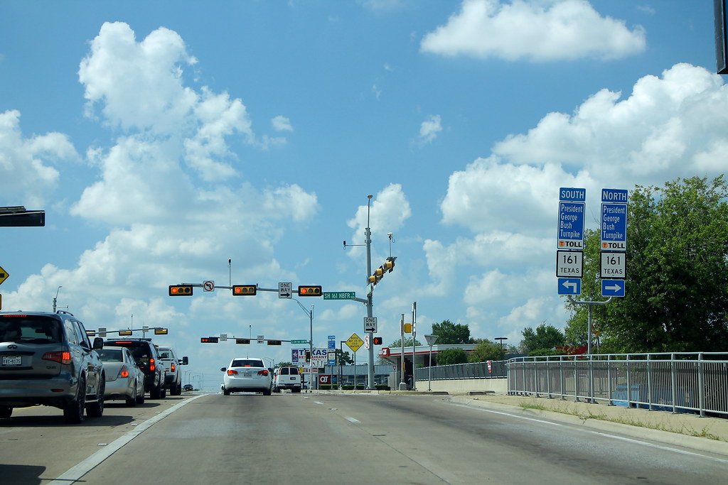
Grand Prairie is a city located in Dallas, Tarrant, and Ellis counties in Texas, United States. It is part of the Mid-Cities region in the Dallas-Fort Worth metroplex. According to the 2010 census, the city had a population of 175,396, making it the fifteenth most populous city in the state. As of the 2020 census, Grand Prairie remains the 15th-most populous city in Texas, with a population of 196,100.
Amarillo

Amarillo, also known as “The Yellow Rose of Texas,” is a city located in the Texas Panhandle and is the seat of Potter County. It is the 14th-most populous city in Texas and the largest city in the Texas Panhandle. A portion of the city extends into Randall County.
As of April 1, 2020, the estimated population of Amarillo was 200,393, while the Amarillo metropolitan area had an estimated population of 308,297 as of 2020. The city’s growth as a cattle-marketing center in the late 19th century was largely due to the availability of the railroad and freight service provided by the Fort Worth and Denver City Railroad.
Amarillo was once known as the “Helium Capital of the World” due to one of the country’s most productive helium fields. The city is also home to a large meat-packing area and Pantex, the only nuclear weapons assembly and disassembly facility in the United States, which has given rise to the nickname “Bomb City.”
Brownsville
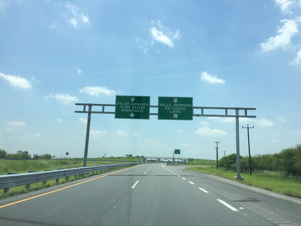
Brownsville is a city located in Cameron County, Texas, and is the county seat. It is situated on the western Gulf Coast in South Texas, adjacent to the border with Matamoros, Mexico. The city covers 145.2 sq mi (376.066 km2) and had a population of 186,738 according to the 2020 census, making it the 139th-largest city in the United States and the 18th-largest in Texas.
Brownsville is part of the Matamoros-Brownsville metropolitan area and is known for its year-round subtropical climate, deep-water seaport, and Hispanic culture. The city was founded in 1848 by American entrepreneur Charles Stillman and was named after Fort Brown, which was named after Major Jacob Brown, who died while serving as a U.S. Army soldier during the Mexican-American War.
Brownsville’s economy is primarily driven by the service, trade, and manufacturing industries, including a growing aerospace and space transportation sector. It operates international trading through the Port of Brownsville. The city has a predominantly Hispanic population, making it the third-highest proportion of Hispanic Americans of any city in the United States outside of Puerto Rico.
Brownsville has a rich history, with multiple houses and battle sites listed under the National Register of Historic Places, and has been involved in significant events such as the Texas Revolution, the Mexican-American War, and the American Civil War.
Killeen

Killeen is a city located in Bell County, Texas, United States, and is the largest of the three principal cities of Bell County. According to the 2020 census, its population was 153,095, making it the 17th-most populous city in Texas. Killeen is 55 miles north of Austin, 125 miles southwest of Dallas, and 125 miles northeast of San Antonio.
It is the principal city of the Killeen-Temple-Fort Hood Metropolitan Statistical Area and is directly adjacent to the main cantonment of Fort Hood. Killeen’s economy is heavily dependent on the activities of the post and the soldiers and their families stationed there. It is known as a military “boom town” due to its rapid growth and high influx of soldiers.
Denton

Denton is a city located in Denton County, Texas, and is the county seat. As of 2020, it has a population of 139,869, making it the 27th-most populous city in Texas, the 197th-most populous city in the United States, and the 12th-most populous city in the Dallas-Fort Worth metroplex. The city was incorporated in 1866 and was named after pioneer and Texas militia captain John B. Denton.
The arrival of a railroad line in the city in 1881 spurred population growth, and the establishment of the University of North Texas in 1890 and Texas Woman’s University in 1901 distinguished the city from neighboring regions. Denton is known for its active music scene, with events such as the North Texas State Fair and Rodeo, Denton Arts and Jazz Festival, and Thin Line Fest attracting over 300,000 people to the city each year.
The city is also characterized as a college town due to the presence of two universities within its city limits, with over 45,000 students enrolled. Educational services play a large role in the city’s economy, and the Denton County Transportation Authority provides commuter rail and bus service to the area.
Mesquite city
Mesquite is a suburban city located east of Dallas, Texas, in both Dallas and Kaufman counties. As of 2020, its population grew to 150,108, making it the 22nd-most populous city in Texas. Mesquite is known as the “Rodeo Capital of Texas” according to legislative action and has received a Playful City USA designation for the fourth year in a row.
The city has also been named a Tree City USA by the National Arbor Day Foundation for over 25 years. Mesquite is positioned at the crossroads of four major highways, including Interstates 30, 635, 20, and U.S. Route 80, making it easily accessible to downtown Dallas, Lake Ray Hubbard, Dallas Love Field, and DFW International Airport.
The city is unique in that it is served by its own local airport, Mesquite Metro Airport. Major companies and institutions with a presence in the city include United Parcel Service, Sears, AT&T, Charter Spectrum, Eastfield College, Ashley Furniture, and FedEx.
Pasadena
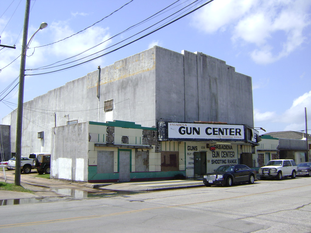
Pasadena is a city located in the Houston-The Woodlands-Sugar Land metropolitan area in the U.S. state of Texas. As of the 2020 U.S. census, the city’s population was 151,950, making it the twentieth most populous city in the state of Texas and the second-largest city in Harris County.
The area was founded in 1893 by John H. Burnett of Galveston, who named the area after Pasadena, California, due to the perceived lush vegetation. Pasadena is known for its industrial activity, particularly in the petrochemical industry, and is home to the Pasadena Refining System, Inc. refinery.
The city also has a thriving healthcare industry, with several hospitals and medical centers located in the area. Pasadena is home to several parks and recreational areas, including the Armand Bayou Nature Center and the Strawberry Park. The city hosts several annual events, such as the Pasadena Strawberry Festival and the Pasadena Livestock Show and Rodeo.
McAllen

McAllen is the largest city in Hidalgo County, Texas, and the 22nd-most populous city in the state. It is located at the southern tip of Texas in the Rio Grande Valley, on the Mexico-United States border, with the city limits extending south to the Rio Grande, across from the Mexican city of Reynosa.
McAllen is about 70 miles west of the Gulf of Mexico. As of the 2020 census, McAllen’s population was 142,210. It is the fifth-most populous metropolitan area in the state, with the binational Reynosa-McAllen metropolitan area counting a population of more than 1.5 million.
The area around McAllen was largely rural and agricultural in character until the latter half of the 20th century when steady growth began, which has continued into the 21st century in the metropolitan area. The introduction of the maquiladora economy and the North American Free Trade Association led to an increase in cross-border trading with Mexico.
Waco

Waco is a city located in and the county seat of McLennan County, Texas. Situated along the Brazos River and I-35, it is halfway between Dallas and Austin. As of the 2022 U.S. census, the city had an estimated population of 143,984, making it the 24th-most populous city in the state.
The Waco metropolitan statistical area consists of McLennan, Falls, and Bosque counties, which had a 2020 population of 295,782. Bosque County was added to the Waco MSA in 2023. The 2022 U.S. census population estimate for the Waco metropolitan area was 302,582 residents.
Waco is home to several institutions of higher education, including Baylor University, McLennan Community College, and Texas State Technical College. The city is also known for its cultural attractions, such as the Texas Ranger Hall of Fame and Museum, the Dr. Pepper Museum, and the Waco Mammoth National Monument. Additionally, Waco has a thriving economy with a diverse range of industries, including healthcare, manufacturing, and education.
Midland

Midland is a city located in and the county seat of Midland County, Texas, with a small part of it located in Martin County. As of the 2020 census, the population was 132,524. Located in the Permian Basin in West Texas, Midland is a major center for American oil and natural gas production.
It is the principal city of the Midland, Texas metropolitan statistical area, which includes all of Midland County, with a population of 169,983 in the 2020 U.S. Census. The metropolitan area is part of the larger Midland-Odessa combined statistical area, which had a population of 340,391 in the 2020 census.
Midland was founded in 1881 as the midway point between Fort Worth and El Paso on the Texas and Pacific Railroad. The city has many connections to the Bush family, as it was the one-time home of former Presidents George H. W. Bush and George W. Bush, and the hometown of former First Lady Laura Bush. The George W. Bush Childhood Home is located in Midland.
Carrollton

Carrollton is a city located in Dallas, Denton, and Collin counties in the U.S. state of Texas. As of the 2020 census, the city’s population was 133,434, making it the 23rd-most populous city in Texas. Carrollton is a part of the Dallas-Fort Worth metroplex and is situated just north of Dallas.
The city has a diverse economy, with major employers including Halliburton, McKesson Corporation, and the Baylor Scott & White Health system. Carrollton is home to several parks and recreational areas, including the 1,200-acre Arbor Hills Nature Preserve and the 130-acre Josey Ranch Athletic Complex.
The city also has a thriving arts and culture scene, with several annual events such as the Festival at the Switchyard and the Carrollton Trails Festival. Additionally, Carrollton is known for its excellent schools, with the Carrollton-Farmers Branch Independent School District consistently ranked as one of the top school districts in the state.
Lewisville
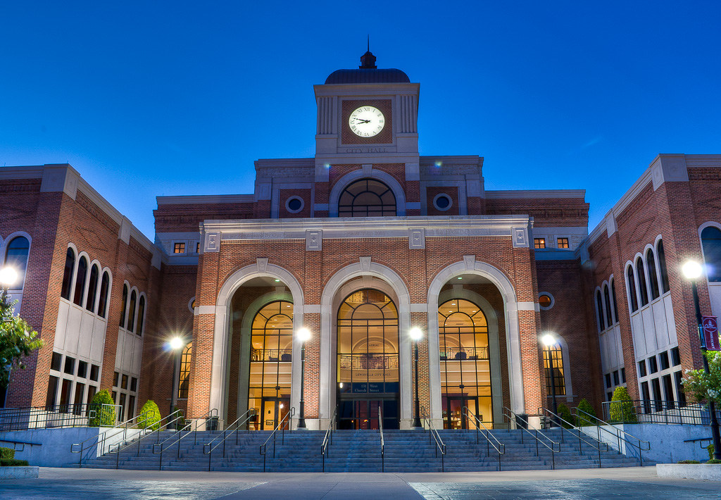
Lewisville is a city located predominantly within Denton County, with a small part lying within Dallas County, in the U.S. state of Texas. As a suburban community within the Dallas-Fort Worth metroplex, the 2020 census recorded a population of 111,822. Originally called Holford’s Prairie, Lewisville dates back to the early 1840s.
The arrival of the town’s first railroad in 1881 spurred its initial growth, and the expansion of the area’s transportation infrastructure further developed the city in the early part of the 20th century. Lewisville was incorporated in 1925, and when construction of Lewisville Lake was completed in the 1950s, the city began to expand rapidly.
Lewisville’s proximity to Lewisville Lake has made it a recreational hub of the Dallas-Fort Worth metroplex, while the area’s transportation infrastructure has evolved around the I-35 Corridor along Interstate 35E. The diversity of its population and industry has created a stable economic climate, and the Lewisville Independent School District provides most of the area’s public education programs.
Abilene

Abilene is a city located in Taylor and Jones County, Texas, with a population of 125,182 at the 2020 census. It is the principal city of the Abilene metropolitan statistical area, which had an estimated population of 169,893 as of 2016. Abilene is home to three Christian universities: Abilene Christian University, McMurry University, and Hardin-Simmons University.
The city is also the county seat of Taylor County. Dyess Air Force Base is located on the west side of the city. Abilene is located on Interstate 20, which forms a rounded bypass loop along the northern side of the city between exits 279 and 292. The city is located 150 miles west of Fort Worth. Multiple freeways form a loop surrounding the city’s core, including I-20 on the north, US 83/84/277 on the west, and Loop 322 to the east.
The former Texas and Pacific Railway, now part of the Union Pacific mainline, divides the city into well-established north and south zones. The historic downtown area is on the north side of the railroad, while the growing South Of Downtown Abilene “SODA” district is located on the south side of the tracks.
Pearland

Pearland is a city located in the Gulf Coast region of Texas, just south of Houston. As of the 2020 census, the population was 139,641, making it the 19th-most populous city in Texas. Pearland is home to several parks and recreational areas, including the 234-acre Centennial Park and the 288 Lake recreational area.
The city also has an exciting arts and culture scene, with several annual events such as the Pearland International Festival and the Winterfest. Additionally, Pearland is known for its excellent schools, with the Pearland Independent School District consistently ranked as one of the top school districts in the state.
The city has experienced rapid growth over the past few decades, with a diverse range of industries including healthcare, manufacturing, and education contributing to its economy.
Round Rock
Round Rock is a city located in Williamson County, with a small part in Travis County, in the U.S. state of Texas. It is a part of the Greater Austin metropolitan area, with a population of 119,468 as of the 2020 census. The city straddles the Balcones Escarpment, a fault line that divides the area into two distinct regions.
The eastern side of the city is characterized by black, fertile soils of the Blackland Prairie, while the western side is hilly, with little topsoil and higher elevations, and is part of the Texas Hill Country. Round Rock is located about 20 miles north of downtown Austin and shares a common border with Austin at Texas State Highway 45. The city has been recognized for its quality of life, with Money naming it the seventh-best American small city in which to live in 2008.
Round Rock is also known for its excellent schools, with the Round Rock Independent School District ranking among the best in the state. The city is home to the international headquarters of Dell, one of its major employers, along with other major retailers and the mixed-use La Frontera center, which have transformed Round Rock into a self-contained “super suburb”.
College Station

College Station is a city located in Brazos County, Texas, situated in East-Central Texas in the heart of the Brazos Valley, towards the eastern edge of the region known as the Texas Triangle. The city is located 83 miles northwest of Houston and 87 miles east-northeast of Austin. As of the 2020 census, College Station had a population of 120,511.
The city is part of the Bryan-College Station metropolitan area, the 13th-largest metropolitan area in Texas with 273,101 people as of 2019. College Station is home to the main campus of Texas A&M University, the flagship institution of the Texas A&M University System.
The city owes its name and existence to the university’s location along a railroad. Texas A&M’s triple designation as a Land-, Sea-, and Space-Grant institution reflects the broad scope of the research endeavors it brings to the city, with ongoing projects funded by agencies such as NASA, the National Institutes of Health, the National Science Foundation, and the Office of Naval Research.
Richardson
Richardson is a city located in Dallas and Collin counties in the U.S. state of Texas, with a total population of 119,469 as of the 2020 United States census. As an inner suburb of Dallas, Richardson is home to the University of Texas at Dallas and the Telecom Corridor, a high concentration of telecommunications companies.
The city’s 28 square miles host over 5,000 businesses, including many of the world’s largest telecommunications and networking companies, such as AT&T, Verizon, Cisco Systems, Samsung, ZTE, MetroPCS, Texas Instruments, Qorvo, and Fujitsu.
The insurance industry is also a major employer in Richardson, with Blue Cross and Blue Shield of Texas’s headquarters, a regional hub for GEICO, regional offices for United Healthcare, and one of State Farm Insurance’s three national regional hubs located in the community.
The Woodlands
The Woodlands is a special-purpose district and census-designated place (CDP) located in the Houston-The Woodlands-Sugar Land metropolitan statistical area in Texas. The Woodlands is primarily situated in Montgomery County, with portions extending into Harris County. The Woodlands Township governs the area, providing municipal services, and is administered by an elected board of directors.
As of the 2020 U.S. Census, the township had a population of 114,436 people, with The Howard Hughes Corporation estimating the population to be 119,000 in 2021. The Woodlands is located 28 miles north of Houston along Interstate 45 and began as an exurban development and a bedroom community.
However, it has also attracted corporations and has several corporate campuses, including Occidental Petroleum Corporation, Chevron Phillips Chemical, Huntsman Corporation, Woodforest National Bank, Baker Hughes, McKesson Specialty Health, and Halliburton.
The community won a Special Award for Excellence in 1994 from the Urban Land Institute. The Woodlands-Conroe, TX urban area had a population of 402,454 in 2020, making it the 103rd largest urban area in the United States, according to the United States Census Bureau.
League City
League City is a city located in Galveston County, within the Greater Houston metropolitan area in Texas. The city had a population of 112,129 as of the 2020 census. League City has a small portion north of Clear Creek within Harris County that is zoned for residential and commercial uses.
The city is home to several waterside resorts, such as South Shore Harbor Resort and Conference Center and Waterford Harbor and Yacht Club Marina, which are popular with residents of nearby Houston. Between 2000 and 2005, League City surpassed Galveston as Galveston County’s largest city. The city has a thriving economy, with a diverse range of industries including healthcare, manufacturing, and education contributing to its growth.
League City is also known for its excellent schools, with the Clear Creek Independent School District consistently ranked as one of the top school districts in the state. The city has a rich history, with several museums and historical sites, including the Butler Longhorn Museum, which showcases the history of the Texas Longhorn cattle industry.
Odessa

Odessa is a city located in Ector County, Texas, United States, and serves as the county seat. A small section of the city extends into Midland County. As of the 2020 census, Odessa had a population of 114,428, making it the 28th-most populous city in Texas. The city is the principal city of the Odessa metropolitan statistical area, which includes all of Ector County.
The metropolitan area is also part of the larger Midland-Odessa combined statistical area, which had a 2010 census population of 278,801 and an estimated population of 320,513 as of July 2015. Odessa is famous for being featured in the book Friday Night Lights: A Town, a Team, and a Dream, and the movie adaptation, Friday Night Lights.
The city also has a rich political history, having been the home of former Presidents George H. W. Bush and George W. Bush, as well as First Lady Barbara Bush. Former President George H. W. Bush has been quoted as saying “At Odessa, we became Texans and proud of it.”
Interstates
Interstate 27
Interstate 27 (I-27) is a major highway in the state of Texas, running entirely within its borders from Lubbock to I-40 in Amarillo. The only control cities on I-27 are Lubbock and Amarillo, with other cities and towns served including New Deal, Abernathy, Hale Center, Plainview, Kress, Tulia, Happy, and Canyon.
In Amarillo, the highway is commonly known as the Canyon Expressway or Canyon E-Way, although its access roads are called Canyon Drive. I-27 was named the Marshall Formby Memorial Highway after former attorney and State Senator Marshall Formby in 2005. The entire length of I-27 replaced US Highway 87 for through traffic. In 2022, an extension of I-27 was approved to extend north to Raton, New Mexico, and south to Laredo, Texas.
Interstate 35

Interstate 35 (I-35) is a major north-south highway in Texas, running from Laredo near the Mexican border to the Red River north of Gainesville where it crosses into Oklahoma. Along its route, the highway passes through the cities of San Antonio, Austin, and Waco before splitting into two auxiliary routes just north of Hillsboro.
I-35E heads northeast through Dallas, while I-35W turns northwest to run through Fort Worth. The two branches meet up in Denton to again form I-35, which continues to the Oklahoma state line. Texas contains more miles of the overall length of I-35 than any other state, with the highway running for just over 503 miles, not including the 85-mile segment of I-35W.
The Interstate is currently undergoing an extensive renovation and expansion project known as ‘My35’, which includes work on portions of the highway from Dallas south to Laredo. Once complete, the highway will span three lanes in each direction from Hillsboro to San Antonio.
Interstate 37

Interstate 37 (I-37) is a 143-mile (230 km) highway located within the southern portion of Texas. The highway was first designated in 1959 as a route between Corpus Christi and San Antonio. Construction in the urban areas of Corpus Christi and San Antonio began in the 1960s, with the segments in rural areas completed by the 1980s.
Prior to I-37, the route between Corpus Christi and San Antonio was served by a combination of State Highway 9 (SH 9) from Corpus Christi to Three Rivers and U.S. Highway 281 (US 281) from Three Rivers to San Antonio. The highway begins in Corpus Christi at US 181 and SH 35 and heads north to San Antonio, where it ends at I-35. Beyond I-35, the freeway continues as US 281 to northern San Antonio as a major freeway.
I-37 provides an important connection between I-35 and the Texas Gulf Coast, as well as one of the few limited-access hurricane evacuation routes away from the southern Texas coast. The route provides access to key areas such as downtown Corpus Christi, the Port of Corpus Christi, the Corpus Christi International Airport, and in San Antonio, Downtown, Brooks, the Alamodome, the Tower of the Americas, the River Walk, the Alamo, and the San Antonio International Airport.
Interstate 20
Interstate 20 (I-20) in Texas is a major east-west highway that runs from a junction with I-10 east of Kent, Texas, through the Dallas-Fort Worth metroplex to the Louisiana state line near Waskom, Texas. The original distance of I-20 was 647 miles (1,041 km) from I-10 to the Louisiana state line, but it was reduced to the current distance of 636 miles (1,024 km) due to the rerouting of I-20 in the 1980s and 1990s.
Within the Dallas-Fort Worth metroplex, I-20 is known as the Ronald Reagan Memorial Highway. The highway provides access to many major cities in Texas, including Midland, Odessa, Abilene, and Fort Worth. It also intersects with other major highways, such as I-35 in Fort Worth and I-45 in Dallas. I-20 is an important route for both commercial and personal travel, with major industries such as oil and gas, agriculture, and manufacturing located along its path.
Interstate 30
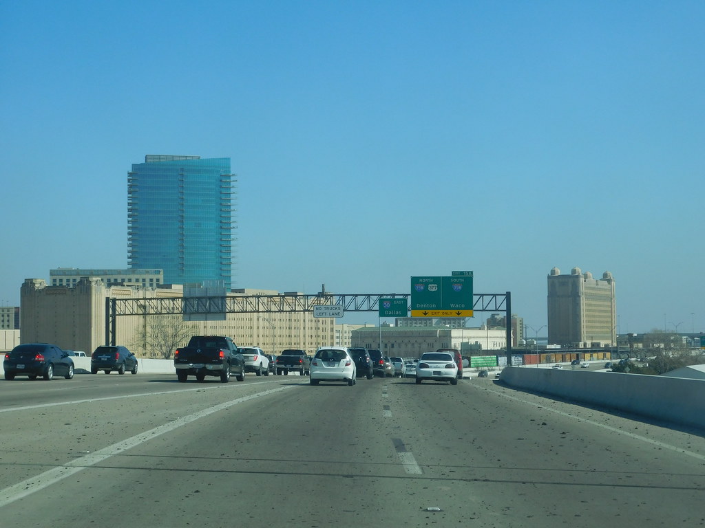
Interstate 30 (I-30) in Texas begins at its intersection with I-20 in Parker County near Aledo and travels near downtown Fort Worth on a new route further south than the now-removed Lancaster Elevated section of the freeway. The section of I-30 between Dallas and Fort Worth is designated the Tom Landry Highway in honor of the longtime Dallas Cowboys coach.
In Dallas, I-30 is known as East R.L. Thornton Freeway between downtown Dallas and the eastern suburb of Mesquite, picking up the name from I-35E south at the Mixmaster interchange. The section from downtown Dallas to State Highway Loop 12 is eight lanes plus an HOV lane, with plans to reconstruct it under the East Corridor project to 12 lanes by 2025-2030.
From Rockwall to a point past Sulphur Springs, I-30 runs concurrent with US 67. Through the city of Greenville, I-30 is known as the Martin Luther King Jr. Freeway. I-30 continues northeasterly through East Texas until a few miles from the Oklahoma state line when the route turns east toward Arkansas.
Interstate 45

Interstate 45 (I-45) is a major highway located entirely within the state of Texas, connecting the cities of Dallas and Houston and continuing southeast from Houston to Galveston over the Galveston Causeway to the Gulf of Mexico. Despite being a north-south route, I-45 is comparatively short, with the entire route located in Texas, and has the shortest length of all the interstates that end in a “5.”
It replaced U.S. Highway 75 (US 75) over its entire length, although portions of US 75 remained parallel to I-45 until its elimination south of Downtown Dallas in 1987. The portion of I-45 between downtown Houston and Galveston is known as the Gulf Freeway, while the short elevated section of I-45 that forms the southern boundary of downtown Houston is known as the Pierce Elevated.
The freeway is the subject of ongoing controversy and federal investigation due to a proposed expansion project in Harris County, which would displace hundreds of people from their homes and worsen air quality. The project’s estimated cost is at least $9.7 billion and is expected to take at least two decades to complete.
Interstate 10
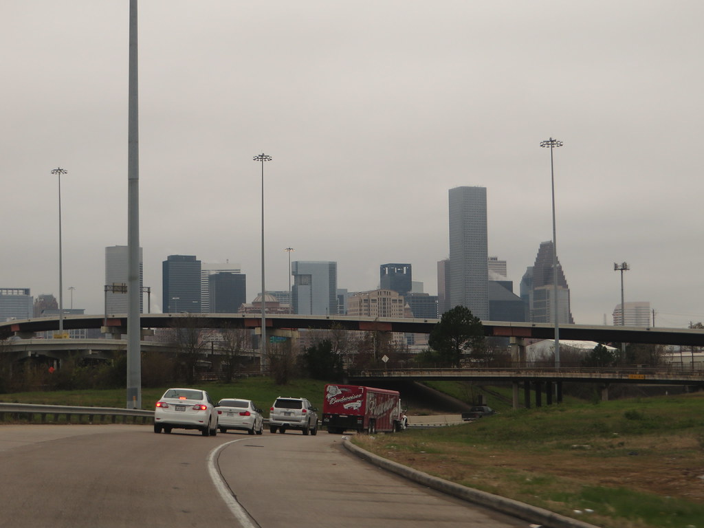
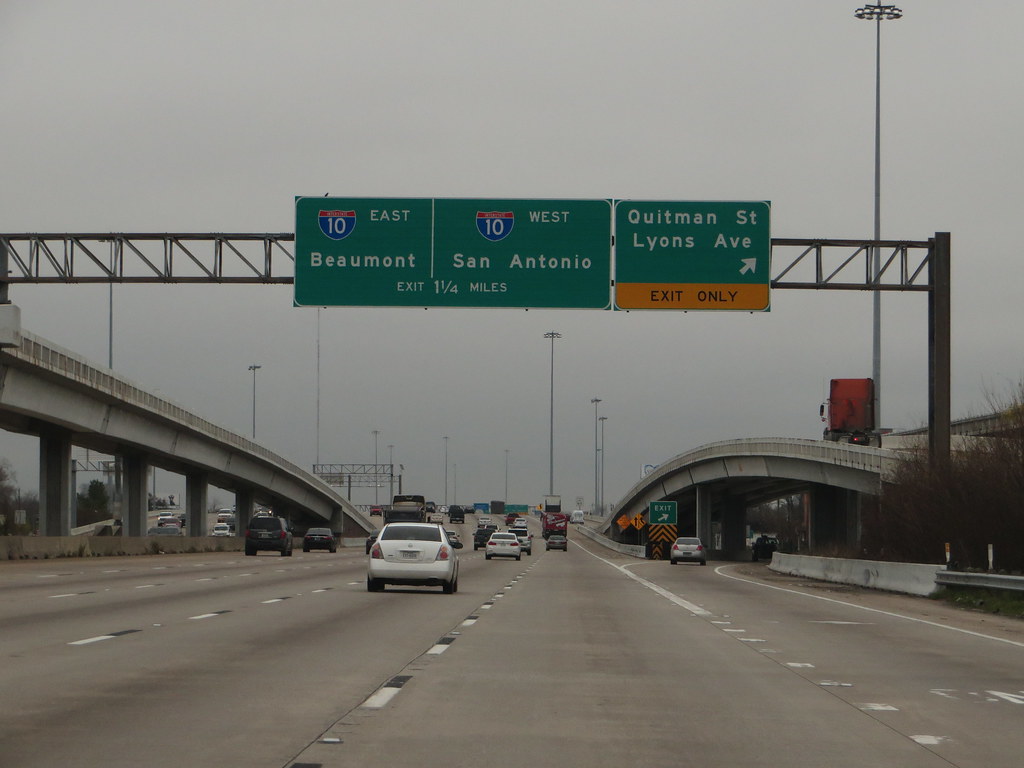
Interstate 10 (I-10) is the major east-west Interstate Highway in the Southern United States, running through the U.S. state of Texas from Anthony, at the border with New Mexico, through El Paso, San Antonio, and Houston to the border with Louisiana in Orange, Texas. At just under 880 miles (1,420 km), the Texas segment of I-10 is the longest continuous untolled freeway in North America operated by a single authority, maintained by the Texas Department of Transportation.
It is also the longest stretch of Interstate Highway with a single designation within a single state. Mile marker 880 and its corresponding exit number in Orange, Texas, are the highest-numbered mile marker and exit on any freeway in North America.
After widening was completed in 2008, a portion of the highway west of Houston is now also believed to be the widest in the world, at 26 lanes when including feeders. More than a third of I-10’s length is located in Texas, with El Paso, near the New Mexico state line, closer to Los Angeles than it is to Orange, Texas, 857 miles (1,379 km) away at the Louisiana state line.
Interstate 40

Interstate 40 (I-40) runs west-east through the panhandle in the northwest part of Texas, passing through the city of Amarillo where it meets the north end of I-27. The entire section of I-40 in Texas is designated as a Purple Heart Trail route, recognizing and honoring the sacrifices of those who have been wounded or killed while serving in the United States Armed Forces.
While I-40 in Texas does not cover a large distance, it is an important route for both commercial and personal travel, connecting the panhandle region of Texas with other parts of the state and the country. The highway provides access to many small towns and rural areas along its path, as well as important industries such as agriculture and energy.
Highways
Route 54
U.S. Route 54 (US 54) in Texas is a U.S. Highway that travels through two portions of the state. One portion is in the far western point of Texas, where US 54 enters the state from New Mexico and travels through the Guadalupe Mountains before exiting into El Paso.
The other portion is in the far northwest Panhandle, where US 54 enters the state from Oklahoma and travels through the towns of Texhoma, Stratford, and Dalhart before exiting into New Mexico.
Along its path, US 54 provides access to many small towns and rural areas, as well as important industries such as agriculture and energy. In addition, the highway serves as a key link between Texas and neighboring states, connecting the state’s western and northern regions with other parts of the country.
Route 57
U.S. Highway 57 (US 57) is a 98-mile (158 km) north-south intrastate United States highway that follows a nearly east-west route in the southwestern part of Texas. The highway’s northern (eastern) terminus is located about 50 miles (80 km) south of San Antonio, Texas, between Devine and Pearsall, at an intersection with Interstate 35 (I-35; old U.S. Highway 81).
From there, US 57 travels southward through the towns of LaCoste, Moore, and Bigfoot before reaching its southern (western) terminus in Eagle Pass, at the Rio Grande (Río Bravo), where it continues into Piedras Negras, Coahuila, as Mexican Federal Highway 57.
Along its path, US 57 provides access to many small towns and rural areas, as well as important industries such as agriculture and energy. The highway also serves as a vital channel between Texas and Mexico, connecting the state’s southwestern region with the neighboring country.
Route 59
U.S. Highway 59 (US 59) in Texas is named the Lloyd Bentsen Highway, after Lloyd Bentsen, former U.S. senator from Texas. The highway is divided into two segments, with the northern segment running from Texarkana in the northeast to Houston in the southeast, and the southern segment running from Houston to the Mexico-US border in the south.
In northern Houston, US 59 is co-signed with Interstate 69 (I-69) and is known as the Eastex Freeway, while to the south, it is also co-signed with I-69 and is known as the Southwest Freeway. The stretch of the Southwest Freeway just west of The Loop was formerly one of the busiest freeways in North America, with a peak AADT of 371,000 in 1998.
US 59 actually straddles the border between Texas and Arkansas north of I-30 near Texarkana, with the east side of the highway on the Arkansas side and the west side on the Texas side. Nearly 90 percent of this route is designated to become part of I-69 in the future. The total length of the southernmost segment of US 59 that passes through Texas and terminates at the Mexico-US border is 615 miles (990 km).
Route 60

U.S. Highway 60 (US 60) in Texas is a 210.70-mile-long (339.09 km) U.S. Highway that runs southwest to northeast through the Texas Panhandle. The route begins in the city of Hereford and passes through the cities of Canyon, Amarillo, and Canadian before ending at the Oklahoma state line near Higgins.
Along its path, US 60 provides access to many small towns and rural areas, as well as important industries such as agriculture and energy. In addition, the highway serves as a vital link between the Panhandle region of Texas and neighboring states, connecting the area with other parts of the country. The cities along the route offer a variety of attractions and amenities, from the natural beauty of Palo Duro Canyon in Canyon to the art and culture scene in Amarillo.
Route 62
U.S. Route 62 (US 62) is a major corridor in West Texas, connecting the cities of El Paso and Lubbock. The highway runs from the Mexico-US border at El Paso, TX to the Canada-US border at Niagara Falls, NY. In Texas, the highway exists in two segments separated by a segment in New Mexico.
The western segment of US 62 begins in El Paso and travels through the cities of Pecos and Seminole before ending at the New Mexico state line. The eastern segment begins at the Oklahoma state line near Hollis and travels through the cities of Snyder, Lubbock, and Wolfforth before ending at the New Mexico state line near Plains.
Along its path, US 62 provides access to many small towns and rural areas, as well as important industries such as agriculture and energy. The highway also serves as a chief link between West Texas and neighboring states, connecting the region with other parts of the country.
Route 67

U.S. Route 67 (US 67) is a major U.S. highway in Texas, running from the U.S.-Mexico border west of Presidio to Texarkana at the Arkansas state line. The highway stretches over 1,500 miles, making it one of the longest highways in Texas. US 67 is an important route for both commercial and personal travel, connecting major cities such as Dallas, Fort Worth, and San Angelo.
The highway also passes through many small towns and rural areas, providing access to important industries such as agriculture and energy. US 67 is part of the La Entrada al Pacifico international trade corridor from its southern terminus to US 385 in McCamey, facilitating trade between Texas and Mexico. Along its path, US 67 offers scenic views of the Texas countryside and historical landmarks, such as the Fort Concho National Historic Landmark in San Angelo.
Route 69
U.S. Route 69 (US 69) is a north-south United States highway that runs from Port Arthur, Texas to Albert Lea, Minnesota. In Texas, US 69 begins in Port Arthur near the Gulf of Mexico and travels northward through the cities of Beaumont, Lufkin, and Tyler before reaching its northern terminus at the Texas-Oklahoma state line just north of Denison.
Along its path, US 69 provides access to many small towns and rural areas, as well as important industries such as agriculture and energy. The highway also serves as a vital link between Texas and neighboring states, connecting the state’s eastern region with other parts of the country. The cities along the route offer a range of attractions and amenities, from the historical landmarks in Beaumont to the natural beauty of the Piney Woods in Lufkin.
Route 70
U.S. Route 70 (US 70) is a U.S. Highway that spans from Globe, Arizona to Atlantic, North Carolina. In Texas, the highway has a portion that begins at the New Mexico state line in Farwell and travels eastward through the cities of Plainview and Vernon before ending at the Oklahoma state line northeast of Oklaunion.
Along its path, US 70 provides access to many small towns and rural areas, as well as important industries such as agriculture and energy. The highway also serves as a vital link between Texas and neighboring states, connecting the state’s western and northern regions with other parts of the country. The cities along the route offer a variety of attractions and amenities, from the historic downtown district of Plainview to the Red River Valley Museum in Vernon.
Route 75
U.S. Highway 75 (US 75) is a part of the U.S. Highway System that travels from Interstate 345 (I-345) in Dallas, Texas northward to the Canadian border at Noyes, Minnesota. In the state of Texas, US 75 begins at I-345 in Dallas and travels northward through the cities of Plano, Sherman, and Denison before reaching the Oklahoma state line.
Along its path, US 75 provides access to many small towns and rural areas, as well as important industries such as technology and manufacturing. The highway also serves as a vital link between Texas and neighboring states, connecting the state’s northern region with other parts of the country. The cities along the route offer an array of attractions and amenities, from the art and culture scene in Dallas to the historic downtown district of Sherman.
Route 77
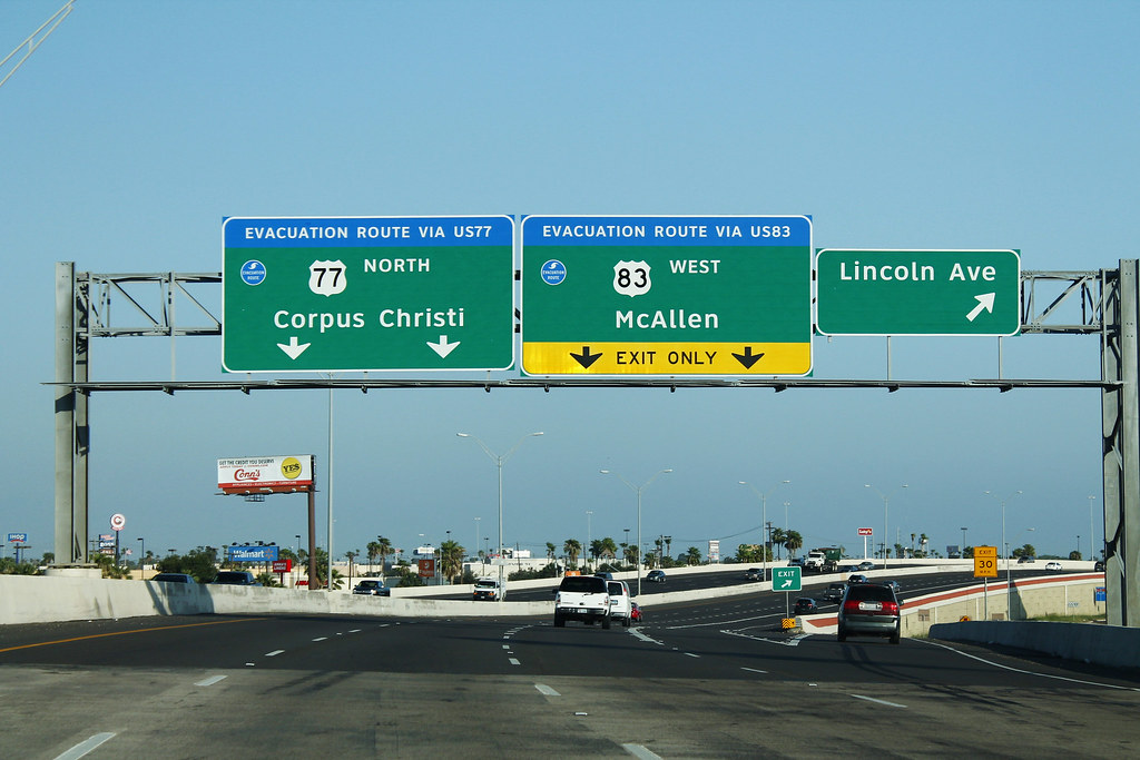
U.S. Route 77 (US 77) is a major highway that is part of the United States Numbered Highway System, running from the Veterans International Bridge in Brownsville to Sioux City, Iowa. In Texas, the highway runs south-north for 471.3 miles (758.5 km) from the International border with Mexico to the Oklahoma state line north of Gainesville.
Along its path, US 77 provides access to many small towns and rural areas, as well as important industries such as agriculture and energy. The highway is being upgraded to a freeway near Corpus Christi to connect to the freeway part of the highway in Raymondville as part of future I-69, with a freeway in Robstown already signed as part of I-69.
From Waco to the Oklahoma state line, US 77 overlaps or runs parallel to I-35/I-35E, providing an important link between Texas and other parts of the country. The cities along the route offer a variety of attractions and amenities, from the beaches and fishing in Brownsville to the museums and cultural events in Waco.
Route 79

U.S. Route 79 (US 79) is a U.S. highway that begins in the state of Texas at Interstate 35 in Round Rock. The highway travels northeast-southwest through the state, passing through the cities of Taylor, Rockdale, and Palestine before crossing into Louisiana approximately 23 miles northeast of Carthage.
Along its path, US 79 provides access to many small towns and rural areas, as well as important industries such as agriculture and manufacturing. The highway is also entwined with two tragedies of country music: Johnny Horton was killed by a drunk driver on the highway near Milano in 1960, and Jim Reeves, killed in a plane crash in 1964, is buried and memorialized on US 79 in his hometown of Carthage. The cities along the route offer a variety of attractions and amenities, from the historic downtown district of Taylor to the natural beauty of the Piney Woods in Palestine.
Route 80

U.S. Route 80 (also known as U.S. Highway 80 and US 80) is a U.S. highway that begins in the state of Texas in Dallas at an interchange with I-30. The highway runs in an east-west direction for most of its length from Dallas to Louisiana. Before the advent of the Interstate Highway System, US 80 through Texas was once a vital link in a major transcontinental highway with the national western terminus being in San Diego, California rather than Dallas.
Since 1991, most of US 80 in Texas has been decommissioned in favor of I-10, I-20, and I-30 between the New Mexico state line and its current western terminus. However, portions of the highway still exist in some areas, providing access to many small towns and rural areas, as well as important industries such as agriculture and energy. The cities along the route offer a variety of attractions and amenities, from the cultural events and museums in Dallas to the historic downtown district of Marshall.

