
Vermilion Cliffs Highway
Arizona
Vermilion Cliffs Highway embarks from the spectacular Virgin River Gorge, south of St. George, Utah, to the Navajo Nation Indian Reservation in the east.
The Vermilion Cliffs Highway traverses some of the most vast and picturesque landscapes in the West. You can follow 277 miles of paved highways, passing through small rural communities. Scenic overlooks and historic sites along the highways show how people explored and survived in this remote area of northern Arizona.
In many cases, the highways follow historic transportation routes used for centuries by different cultures from American Indian tribes, Spanish explorers and pioneers to modern travelers.
Explore Nearby
- Coral Pink Sand Dunes State Park — State Park in Utah
- Zion Scenic Byway — Scenic Byway in Utah
- Sand Hollow State Park — State Park in Utah
- Markagunt High Plateau Scenic Byway — Scenic Byway in Utah
- Grand Canyon National Park Dark Sky Park — Dark Sky Site in Arizona
Nearby Discoveries
12 places to explore within 30 miles
11 Public Lands
1 State Park

Public Land
Cottonwood Point Wilderness
5.7 miles away · 3.0 ★
State Park
Coral Pink Sand Dunes State Park
10.5 miles away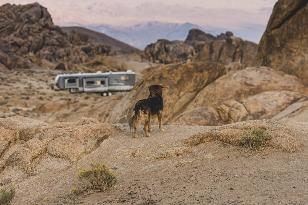
Public Land
Coral Pink Sand Dunes
11.8 miles away
Public Land
Canaan Mountain Wilderness
11.9 miles away · 4.0 ★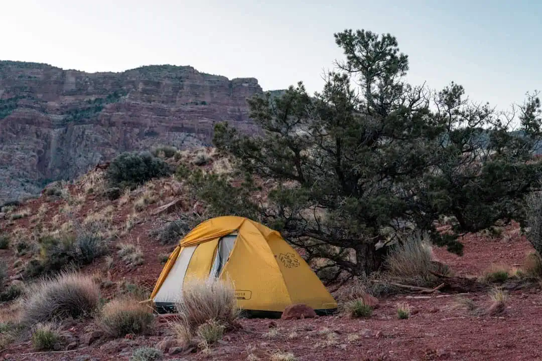
Public Land
Shunes Creek Wild and Scenic River
15.8 miles away
Public Land
Bunting Trail
16.9 miles away · 4.7 ★
Public Land
Smithsonian Butte National Back Country Byway
18.5 miles away · 4.7 ★
Public Land
Wire Mesa Trail
19.1 miles away · 4.8 ★
Public Land
Kanab Field Office
19.2 miles away · 5.0 ★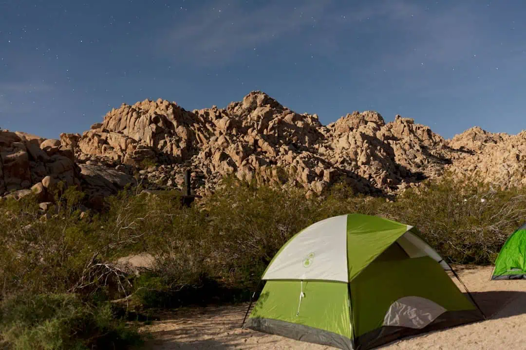
Public Land
Greenhalgh Trail
19.7 miles away
Public Land
Tom’s Canyon Trail
19.8 miles away · 4.1 ★
Public Land
