
Route 66 Historic Back Country Byway
Arizona
Route 66 was one of America’s first transcontinental highways, linking Chicago and Los Angeles with nearly 400 miles passing through Arizona. Along its path, it linked the “Main Streets” of towns and cities.
This 42-mile stretch of two-lane paved blacktop in Arizona is one of the last and best-preserved segments of the original Route 66. Almost all variety of vehicles are suitable to traverse the segment however wider vehicles (e.g., RVs) should use caution. The segment also has a length requirement of no more than 40 feet over Sitgreaves Pass between Golden Valley and the historic ghost town of Oatman There is signage in Golden Valley to remind travelers of the restrictions.
The byway passes through public and private lands, wilderness, valleys, and Main Streets. Please respect all lands and property. Signs posted along the byway range from 20 to 45 miles per hour, obey all posted signs and traffic laws. Any road-worthy vehicle can drive the byway since it is paved asphalt, but automatic transmission is recommended due to steep grades.
This portion of the highway once included one of the most fearsome obstacles for “flatland” travelers in the 1930s. These include the hairpin curves and steep grades of Sitgreaves Pass, which characterize Old Route 66 as it makes its way over the Black Mountains of western Arizona.
The Route 66 Historic Back Country Byway passes between the Mount Nutt Wilderness and the Warm Springs Wilderness. Visitors can admire the Black Mountains along the way.
Along the byway, mileposts 15, 17.1, 33.8 and 34.7 all provide access to the Warm Springs Wilderness, which offers offer outstanding opportunities for primitive recreation like dispersed camping, hiking, and horseback riding. Four-wheel drive is required for all access routes to the wilderness.
Nearby attractions and amenities include Oatman and the downtown Kingman Visitor Center.
Hours and Seasons
The Route 66 Historic Back Country Byway is open all year although the best time to visit is October through April.
Features and Services
- Drinking Water: There is no drinking water available. Bring plenty of water.
- Toilets: There are no toilets available.
- Cell Phone and Internet: There is no public internet or Wi-Fi.
- Pets: Pets are allowed and must be kept on a leash at all times. Service dogs are legally permitted anywhere that visitors can go. Please pack out all waste.
Safety and Conditions
You are responsible for your own safety. Call 911 to contact local law enforcement, obtain emergency services, or report a fire. While enjoying your visit, keep in mind that there is no first aid available on-site.
Expect potential hazards along the route such as venomous reptiles and invertebrates, extreme heat or cold, and flash floods. Be prepared for changes in weather and stay informed on weather warning alerts. Let someone know your travel plans and when you plan to return.
Make sure you have the appropriate gear, food and water. Carry a spare tire, jack, tools, shovel, blanket, etc. Bring adequate fuel as the nearest gas stations are located in Kingman, Golden Valley, Bullhead City, and Fort Mohave.
Remember that signing and fencing are for your safety.
Respect and Protect
Please remember to practice outdoor ethics and recreate responsibly. Leave no trace during your visit.
All historic artifacts are protected by law and must remain undisturbed. Leave them as you found them for others to enjoy.
Check for fire restrictions before your visit. Using exploding targets, fireworks, sky lanterns, tracer ammunition and other incendiary devices is prohibited on BLM-managed public land in Arizona.
Explore Nearby
- Big Bend of the Colorado State Recreation Area — State Park in Nevada
- Lake Havasu State Park — State Park in Arizona
- Lakeview Drive — Scenic Byway in North Carolina
- US 93 (Great Basin Highway) — Scenic Byway in Nevada
- Grand Canyon-Parashant National Monument Dark Sky Park — Dark Sky Site in Arizona
Nearby Discoveries
9 places to explore within 30 miles

in the scenic Cerbat Foothills Recreation Area
4.2 miles away · 4.7 ★
Cerbat Foothills Recreation Area (CFRA)
4.6 miles away · 4.5 ★
Kingman Field Office
6.3 miles away · 4.5 ★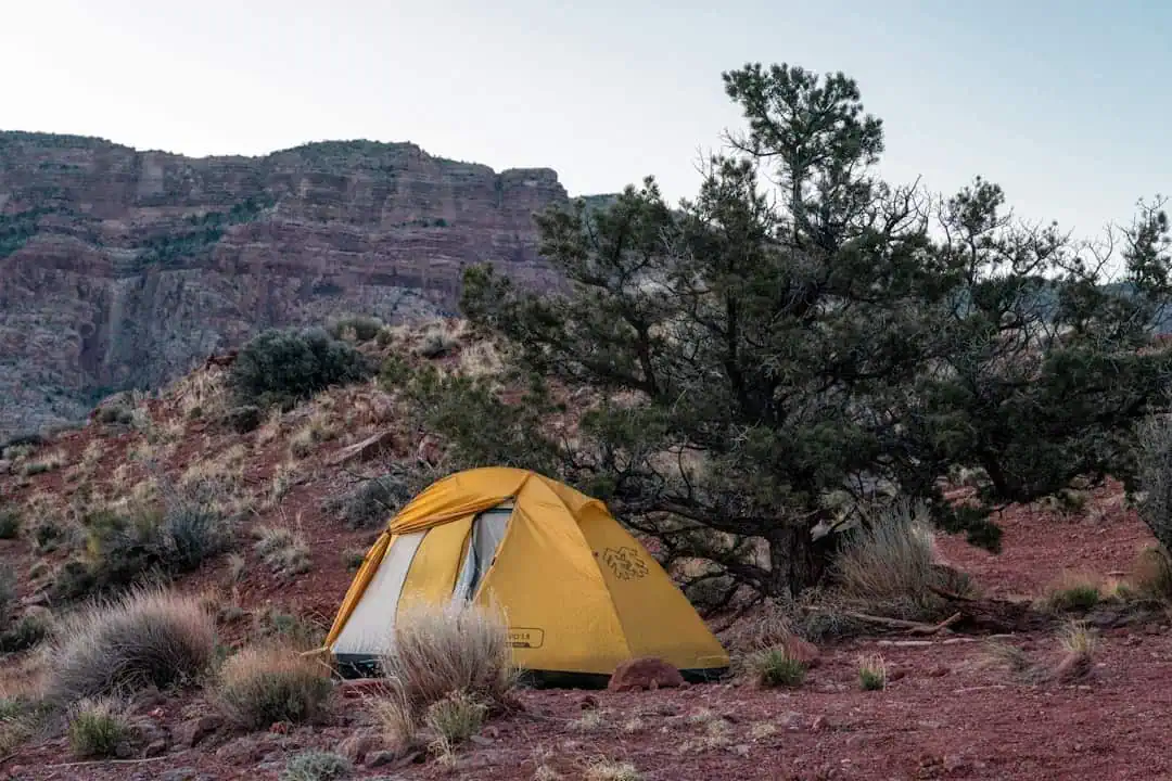
Wabayuma Peak Wilderness
13.5 miles away
Mount Nutt Wilderness
14.3 miles away · 4.3 ★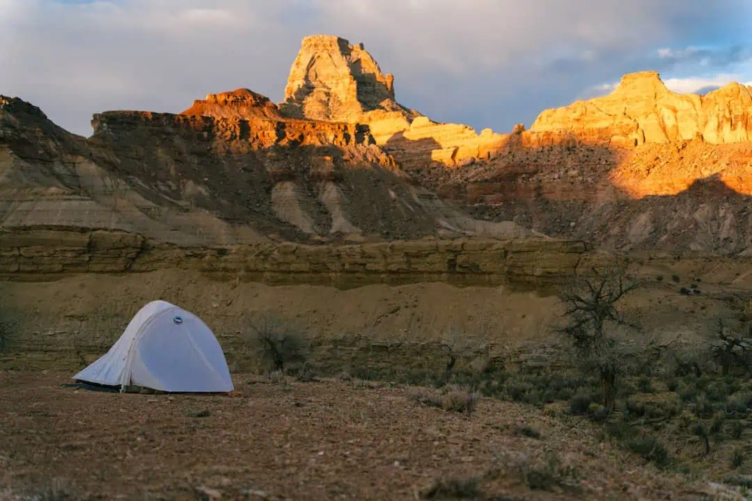
Wabayuma Peak Trail
16.8 miles away · 5.0 ★
Warm Springs Wilderness
19.3 miles away · 4.3 ★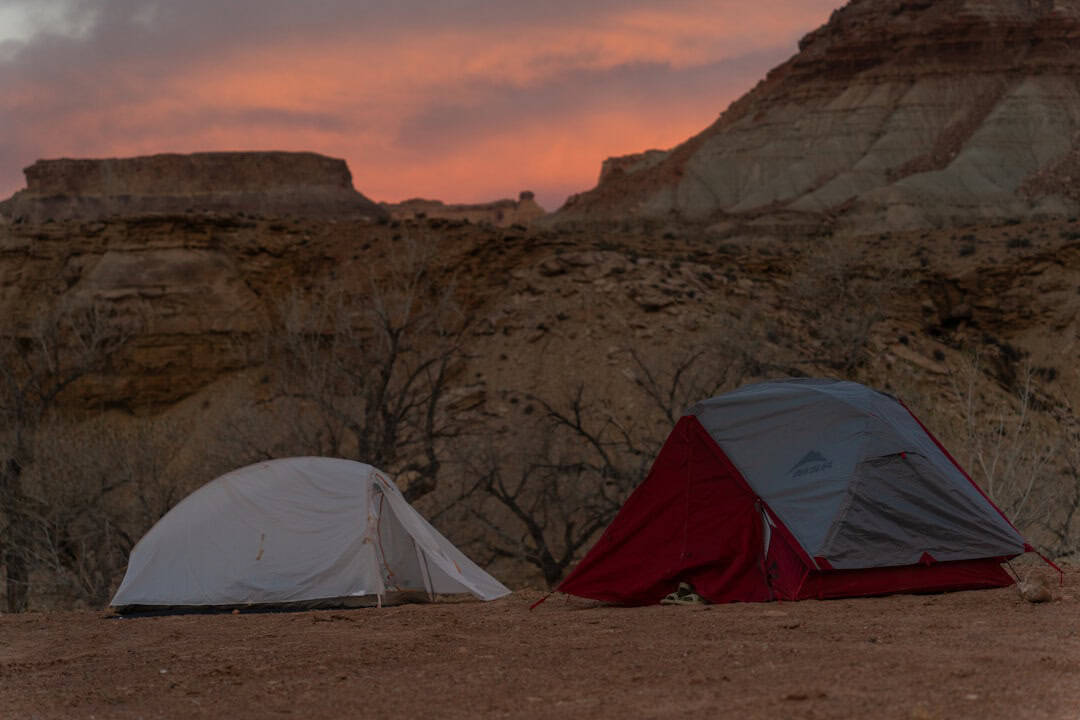
Windy Point Recreation Site
20.8 miles away
