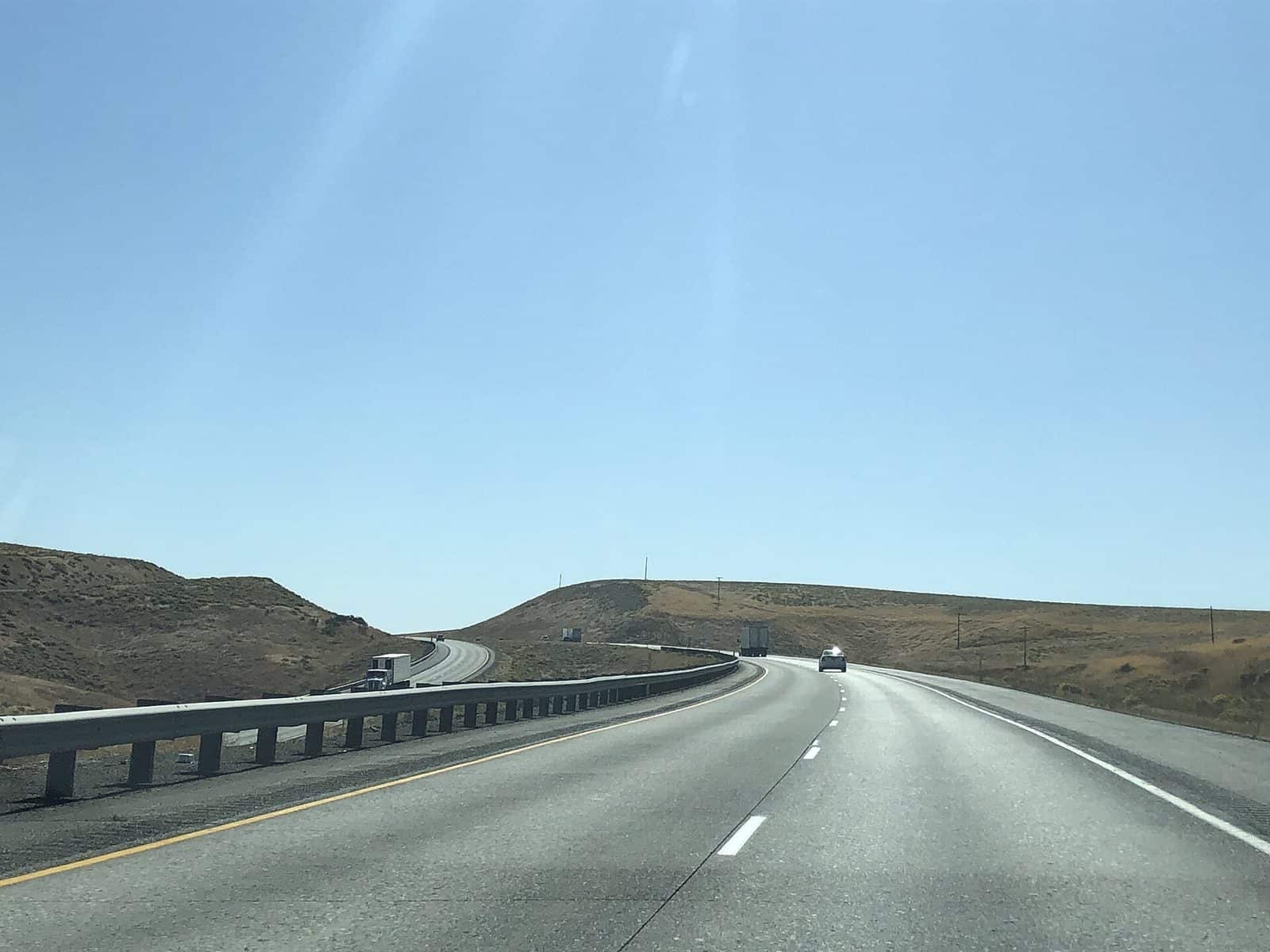
Horse Heaven Hills is an undeveloped watchable wildlife and watchable wildflowers area. Popular with locals, it is primarily used for hiking, nature viewing, photography, and mountain biking.
Know Before You Go:
- There are no facilities or services available.
- The main trailhead (see driving directions) begins with a set of stairs from the parking area leading to a BLM informational kiosk. A series of user-created trails begin from this location. The most direct trailhead-to-ridgetop trail steeply climbs 1,000 feet over ~4/5 mile to reach the ridgetop.
- Some visitors prefer to follow McBee Road an additional 2 miles past the main trailhead to the ridgetop. There you can park, and hike or bike either east or west along the ridgetop trail. On windy days and/or when viewing/photographing nature, hikers sometimes alternatively side hill on either the north slope or south slope, traveling via both trail and/or cross country.
- Horseback riding is available, but with room for only approximately eight vehicles at the trailhead, very limited trailer parking is available.
- When recreating on public lands, practice Leave-No-Trace Principles.
Points of Interest:
Scenic views abound from high on the ridgetop, depending on weather/visibility. On a clear day, from Chandler Butte you can see:
- To the west – Mt. Rainier and Mt. Adams. To the north – Yakima River Valley and its numerous vineyards, Benton City, and the Rattlesnake Mountains.
- To the NE — Red Mountain, Hanford, and the White Bluffs.
- To the east – Webber Canyon and its many orchards, and Badger Mountain.
- To the south — An expanse of farmland sloping towards the non-visible Columbia River.
Explore Nearby
- Yakima Sportsman State Park — State Park in Washington
- Willie Keil’s Grave State Park Heritage Site — State Park in Washington
- Olympic National Forest — National Forest in Washington
- Okanogan–Wenatchee National Forest — National Forest in Washington
- White Pass Scenic Byway — Scenic Byway in Washington


