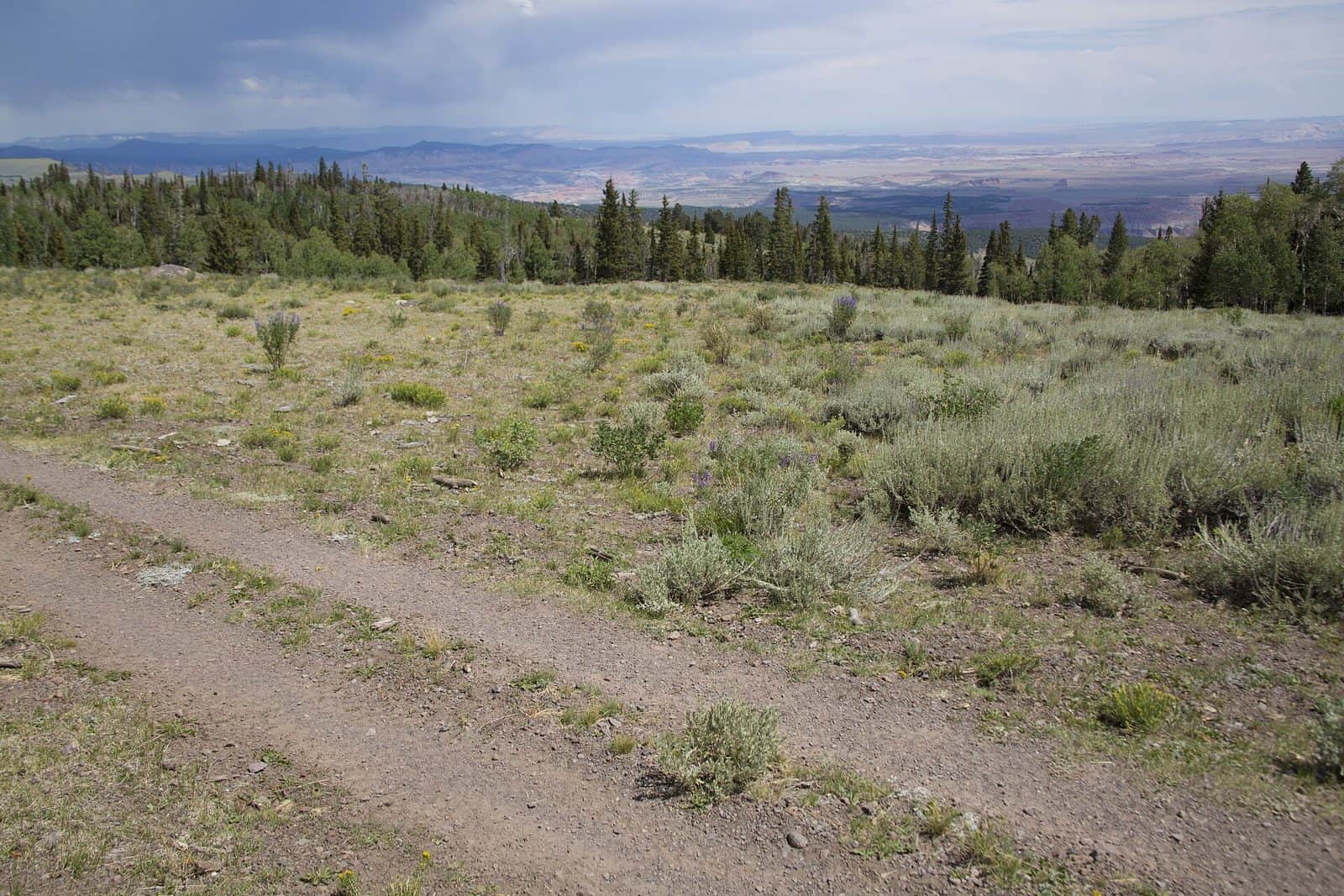
This multiple-use trail crosses BLM and Forest Service lands in this area. The corridor provides for all uses along the same trail in some sections, and separates motorized and non-motorizes uses in other areas. Users along this section of the trail will enjoy the picturesque stands of aspen and conifer interspersed with meadows, opportunities to enjoy periods of solitude and spectacular vistas of the San Rafael Swell, Henry Mountains, LaSal Mountains and Waterpocket Fold. Running from Mexico to Canada, this portion of the trail runs from the Fish Lake National Forest lands on Thousand Lake Mountain down Sand Creek into Torrey, then south along a county road through lands managed by the Richfield Field office near Government Peak (also known as Black Point). The trail system here is located in the Red Gate formation which marks the transition from the Basin and Range to the Colorado Plateau in this region. Access to the trail can be found by trailheads just East of Bicknell or by trailheads near Torrey found by directional signs on the side of Highway 24 near both east and west side of town.
Explore Nearby
- Provo Canyon Scenic Byway — Scenic Byway in Utah
- Timpanogos Cave National Monument — Dark Sky Site in Utah
- Deer Creek State Park — State Park in Utah
- Deer Creek State Park — State Park in Ohio
- Little Cottonwood Canyon Scenic Byway — Scenic Byway in Utah