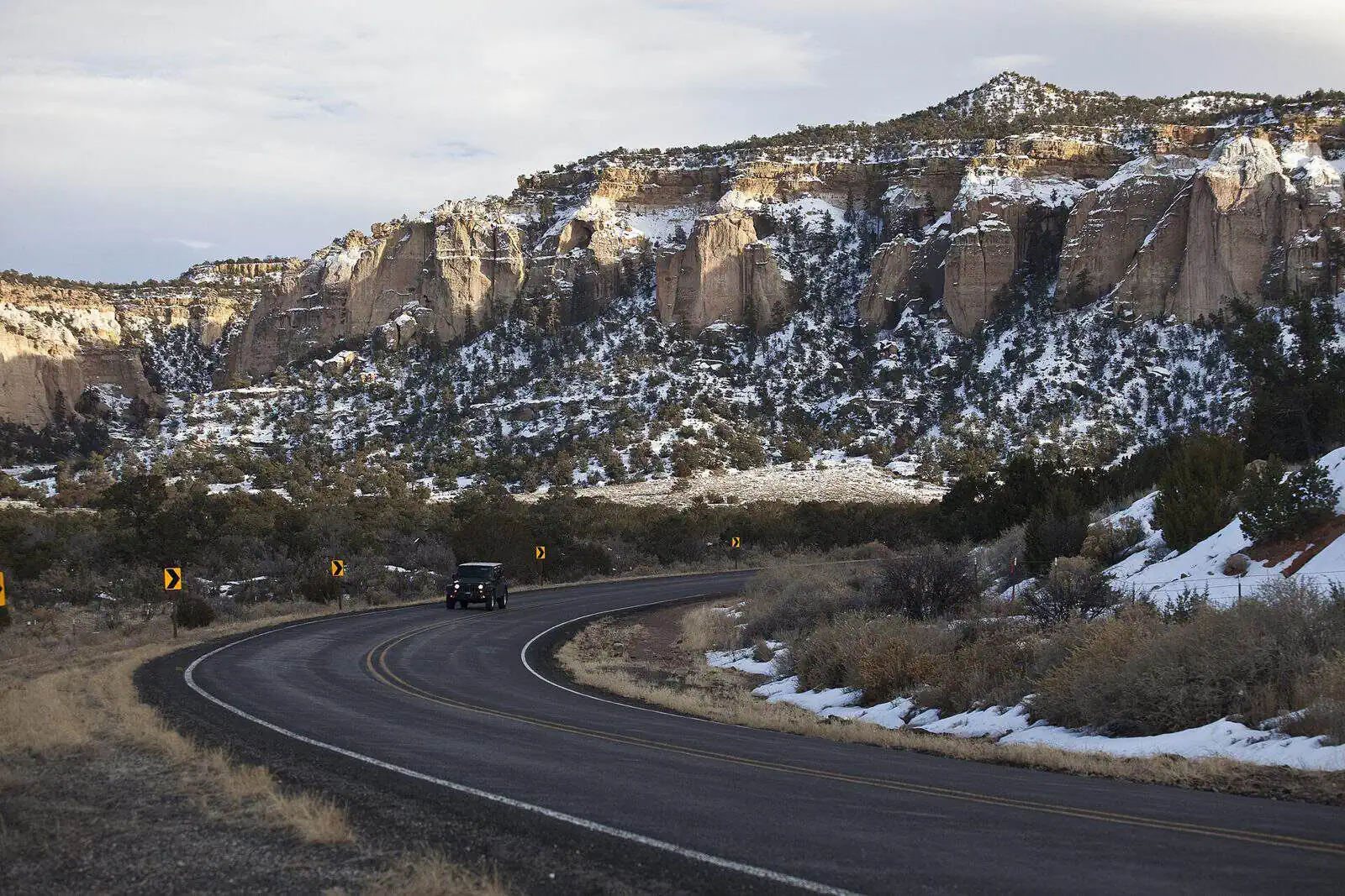
The Chain of Craters Backcountry Byway stretches 33 miles through the volcanic landscape of El Malpais National Conservation Area in northwestern New Mexico. This BLM-managed route follows County Road 42, connecting NM 53 and NM 117 while forming the western boundary of the West Malpais Wilderness.
The byway passes through dramatic lava flows, cinder cones, and ancient volcanic features that make this region geologically significant. Visitors can explore hiking trails that wind through the rugged terrain, offering opportunities for wildlife viewing and photography amid the stark beauty of the malpais—Spanish for “badlands.”
Dispersed camping is permitted on BLM lands along the byway, allowing travelers to set up camp in undeveloped areas away from designated sites. The road itself is unpaved and best suited for high-clearance vehicles, particularly after rain when conditions can deteriorate.
Spring and fall provide the most comfortable temperatures for exploring, as summer heat can be intense across the exposed volcanic rock. Pack plenty of water, as services are nonexistent along this remote corridor through one of New Mexico’s most distinctive landscapes.
Explore Nearby
- El Morro National Monument Dark Sky Park — Dark Sky Site in New Mexico
- Bluewater Lake State Park — State Park in New Mexico
- Cibola National Forest — National Forest in New Mexico
- Navajo Nation Transportation Development Committee — Scenic Byway in New Mexico
- Lyman Lake State Park — State Park in Arizona