
Youghiogheny Wild River Natural Environmental Area
Maryland (Garrett County)
Tucked into the rugged western edge of Garrett County, the Youghiogheny Wild River Natural Environmental Area protects one of Maryland’s most dramatic river corridors. The Youghiogheny River — locals call it “the Yock” — carves through steep, forested gorges here, creating a landscape that feels more like West Virginia than the Maryland most people picture.
This is premier whitewater territory. The Upper Yough section running through the area is consistently ranked among the best whitewater runs on the East Coast, with Class IV and V rapids that draw experienced paddlers from across the region. If you’re not ready for that level of intensity, outfitters in nearby Friendsville offer guided trips on tamer stretches downstream.
Beyond the river, the surrounding hardwood forests offer solid hiking through hemlock-shaded ravines and along rocky ridgelines with occasional views of the gorge below. The area supports excellent trout fishing in the river’s cold, mountain-fed waters, and birders come for warblers and other neotropical migrants that nest in the dense canopy during summer.
Fall is the standout season — the gorge becomes a wall of color in mid-October, and cooler temperatures make trail conditions ideal. Summer brings reliable water levels for paddling but also humidity and insects along the river corridor. Spring runoff creates the biggest whitewater but can make trails muddy.
Come prepared for variable mountain weather. Garrett County sits above 2,500 feet, and conditions here can shift quickly. Cell service is spotty throughout the area, so download maps before you arrive.
Explore Nearby
- Maryland state highways — Scenic Byway in Maryland
- Maryland highway system — Scenic Byway in Maryland
- Lower Humbert Covered Bridge — Covered Bridge in Pennsylvania
- King’s Bridge — Covered Bridge in Pennsylvania
- South Hills — Public Land
Photos

Nearby Discoveries
12 places to explore within 30 miles

Maryland highway system
1.3 miles away
Historic National Road
1.3 miles away
Maryland state highways
1.3 miles away
Sang Run State Park
7.7 miles away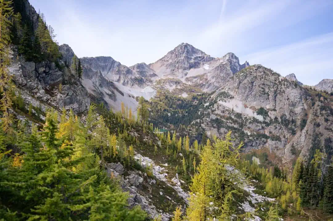
Deep Creek Lake State Park
11.5 miles away
Lower Humbert Covered Bridge
11.9 miles away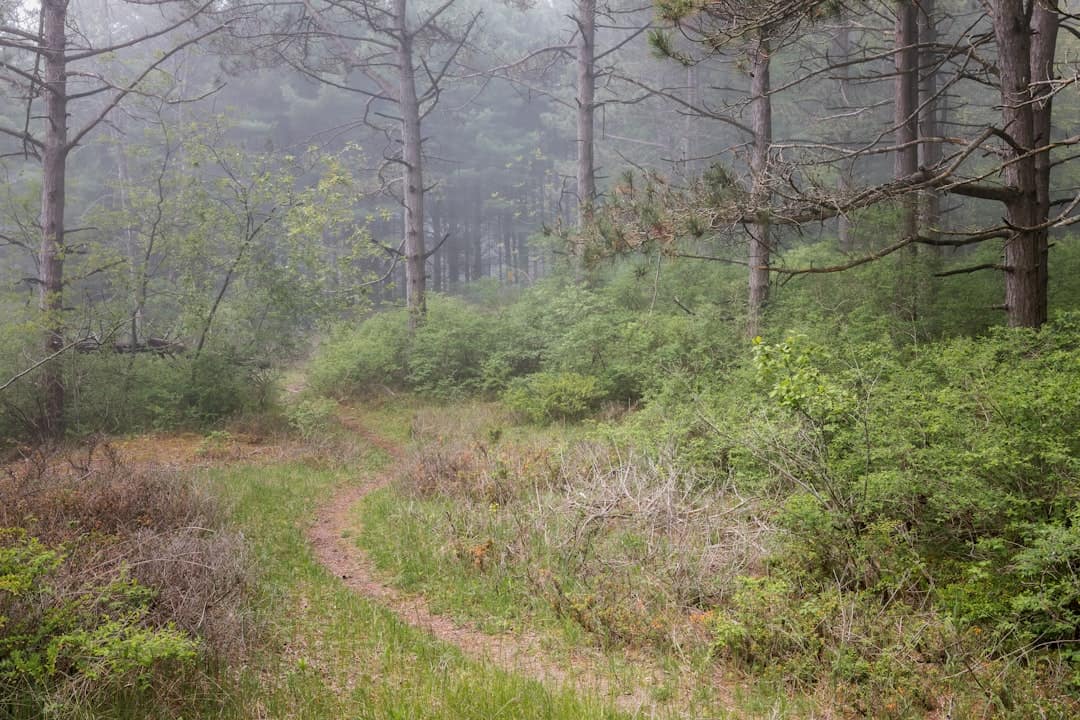
Swallow Falls State Park
12.5 miles away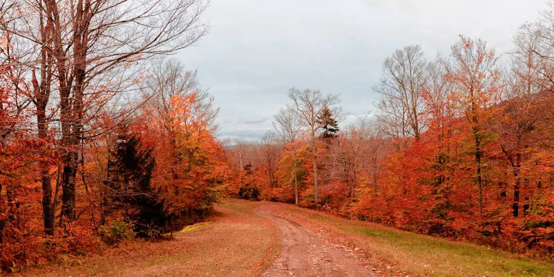
Casselman River Bridge State Park
13.2 miles away
New Germany State Park
14.2 miles away
Fort Necessity State Park
14.3 miles away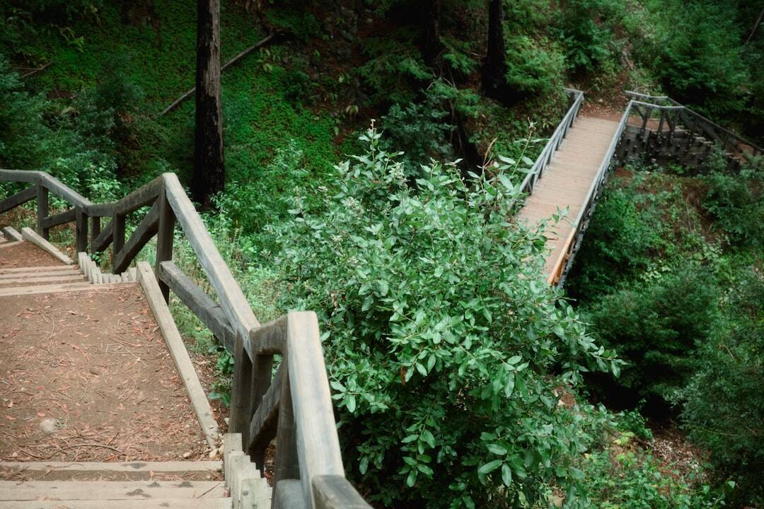
Ohiopyle State Park
14.4 miles away
