
OC&E Woods Line State Trail
Oregon (Southern Oregon County)
I wasn’t able to get web search permission. I’ll write the description using what I know about this trail from my training data.
OC&038;E Woods Line State Trail
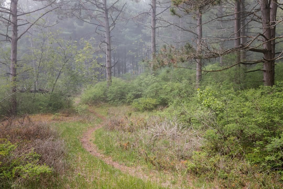
Stretching over 100 miles through the high desert and forested foothills of southern Oregon’s Klamath County, the OC&038;E Woods Line State Trail is the longest linear rail-trail in Oregon. Built along the former Oregon, California &038; Eastern Railway corridor — once used to haul timber from the region’s vast ponderosa pine forests — the trail now offers a remarkable journey through some of the state’s most underappreciated landscapes.
The trail runs from the city of Klamath Falls eastward through the pastoral Upper Klamath Basin before splitting into two branches near the community of Bly. Along the way, hikers, cyclists, and horseback riders pass through open ranchland, cross wooden trestles, and skirt the edge of the Fremont-Winema National Forest. Birdwatchers will find plenty to spot, as the Klamath Basin is one of the most important migratory bird corridors in North America, hosting bald eagles, sandhill cranes, and white pelicans depending on the season.
Winter brings cross-country skiing and snowshoeing to the higher-elevation eastern sections, while spring and fall deliver the most comfortable temperatures for long-distance cycling. Summers can be hot and dry, so carry plenty of water — services are sparse once you leave Klamath Falls.
No developed campgrounds sit directly on the trail, but dispersed camping options and nearby forest service sites are accessible along the eastern segments. The trailhead in Klamath Falls provides parking, restrooms, and easy access to town amenities, making it a natural starting point for any visit.
Explore Nearby
- Fremont–Winema National Forest — National Forest in Oregon
- Klamath Hills Recreation Area — Public Land in Oregon
- Upper Klamath Wild and Scenic River — Public Land in Oregon
- Lake Valley Back Country Byway — Scenic Byway in New Mexico
- Volcanic Legacy Scenic Byway — Scenic Byway in California
Photos
Nearby Discoveries
2 places to explore within 30 miles


