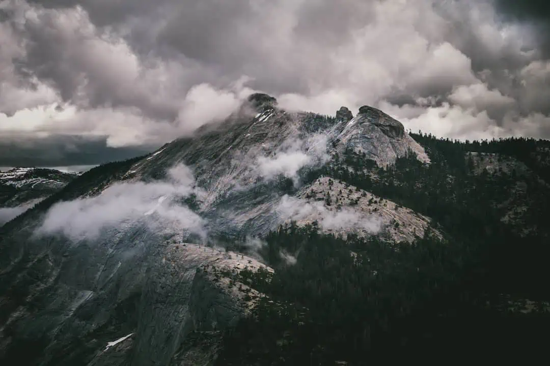
Historic Columbia River Highway State Trail
Oregon (Portland/Columbia Gorge County)
The Historic Columbia River Highway State Trail traces segments of America’s first planned scenic highway through the heart of the Columbia River Gorge. Built in the early 1900s by engineer Samuel Lancaster, the original highway was an engineering marvel — carved into basalt cliffs with graceful stone guardrails and arched bridges that blend into the landscape rather than fighting it. Today, restored sections serve as paved multi-use trails offering some of the most dramatic gorge scenery accessible on foot or by bike.
The trail connects several iconic waterfalls, including Multnomah Falls, Wahkeena Falls, and Elowah Falls, with paved pathways that follow the original highway alignment through mossy forests and along sheer cliff faces. The Twin Tunnels section east of Hood River passes through restored rock tunnels with panoramic windows overlooking the gorge — a highlight that shouldn’t be missed. The Mosier Twin Tunnels segment is particularly popular with cyclists for its gentle grade and stunning vistas.
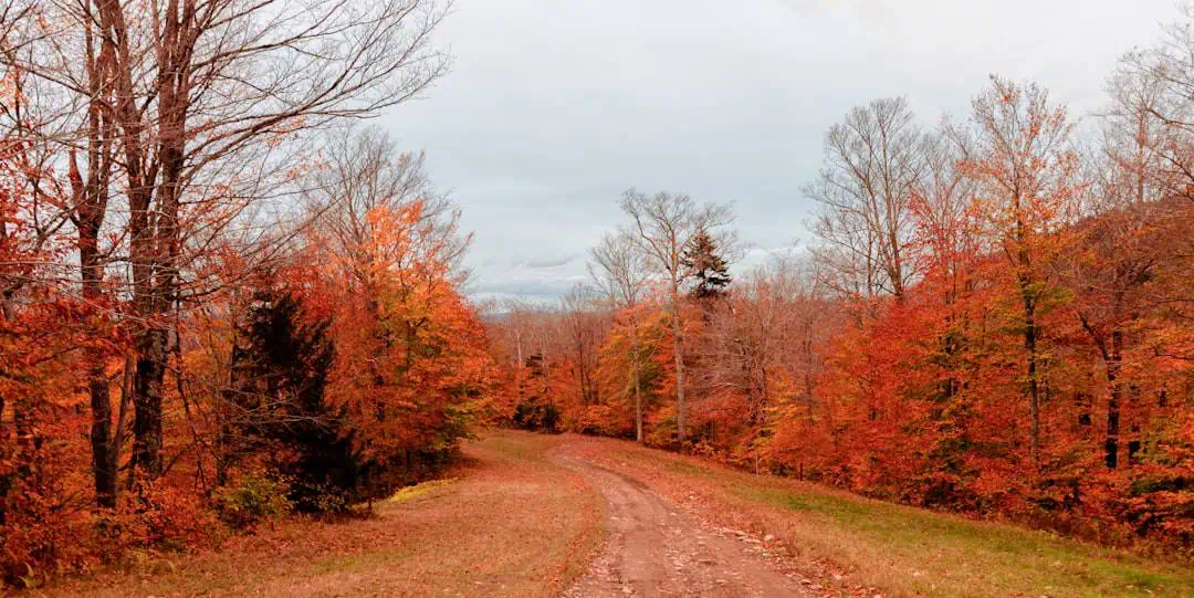
Spring brings peak waterfall flow and wildflower displays on the gorge’s grassy bluffs. Summer offers the most reliable weather, though the gorge can be windy year-round — bring layers. Fall color along the trail is exceptional. Winter access varies by section, with some segments closing due to ice and rockfall risk.
The trail is day-use only with no camping facilities directly on the route. Several state parks and campgrounds in the gorge — including Ainsworth and Viento — provide nearby overnight options for those exploring multiple trail segments over a long weekend.
Explore Nearby
- Lost Lake sits within the Widow Mountain Wilderness Study Area — Public Land
- Historic Columbia River Highway — Scenic Byway in Oregon
- Little Mountain Covered Bridge — Covered Bridge in Washington
- Sandy Wild and Scenic River — Public Land in Oregon
- Mount Hood National Forest — National Forest in Oregon
Photos
Nearby Discoveries
12 places to explore within 30 miles

Viento State Park
0.1 miles away
Starvation Creek State Park
1.2 miles away
Wygant State Natural Area
1.5 miles away
Vinzenz Lausmann Memorial State Natural Area
2.2 miles away
Seneca Fouts Memorial State Natural Area
2.7 miles away
Spring Creek Hatchery
6 miles away
Koberg Beach State Recreation Site
9.2 miles away
Pacific Crest Trail
11 miles away
Sheridan State Scenic Corridor
11.9 miles away
Memaloose State Park
15.7 miles away
Lost Lake sits within the Widow Mountain Wilderness Study Area
16.1 miles away · 4.7 ★