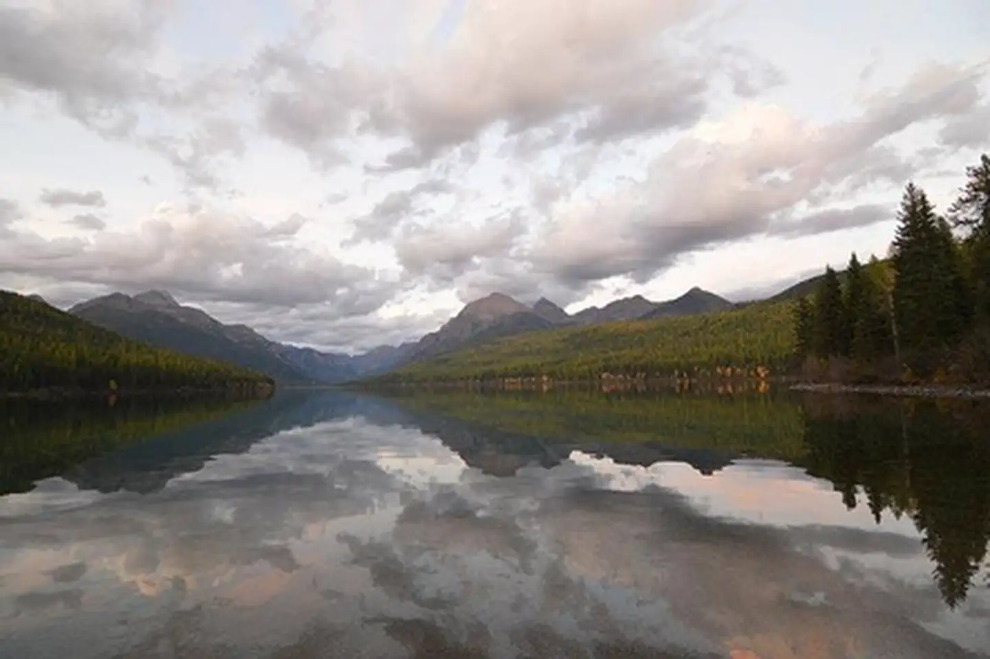
Tucked into the rolling hills of Central New York, Bowman Lake State Park offers 653 acres of quiet woodland and open water that feel miles away from everything. Established in 1966, this park centers on its namesake lake — a calm, spring-fed body of water surrounded by hardwood forest that draws anglers, paddlers, and families looking for an unhurried day outdoors.
The lake is the main attraction. Rowboats and canoes glide across the surface while bass and panfish keep anglers busy along the shoreline. A small beach area provides a swimming spot during summer months, and the surrounding trails wind through mixed forest that turns spectacular in autumn. Hikers will find several miles of paths ranging from easy lakeside strolls to moderate wooded loops, many of which double as cross-country skiing trails once snow arrives.
Picnic areas with pavilions sit near the water, making this a solid choice for group gatherings without the crowds of larger state parks. The park’s relatively modest size works in its favor — it stays peaceful even on busy weekends.
Visit from late May through October for the best conditions. September and early October bring peak foliage and cooler temperatures ideal for hiking. Winter visitors can take advantage of the snow-covered trails for skiing and snowshoeing.
Bowman Lake State Park won’t overwhelm you with scale or spectacle. What it offers instead is something harder to find: a genuine sense of stillness in a beautiful, uncomplicated setting.
Explore Nearby
- Kootenai National Forest — National Forest in Montana, Idaho
- Flathead National Forest — National Forest in Montana
- International Selkirk Loop — Scenic Byway in Idaho
- Ear Mountain — Public Land in Montana