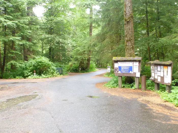
Sprawling across 1.2 million acres at the northern terminus of the Sierra Nevada, Plumas National Forest takes its name from the Rio de las Plumas—the Feather River—which carves through this rugged California landscape. Established in 1907, the forest spans five counties, with roughly 85% falling within Plumas County and the small mountain town of Quincy serving as the gateway community.
The Feather River watershed defines the character of this forest, creating deep canyons, alpine lakes, and meadows that burst with wildflowers in late spring. More than 40 campgrounds dot the landscape, from the remote Gold Lake 4×4 Campground—accessible only by high-clearance vehicles—to family-friendly options like Meadow View and Laufman. Silver Lake Campground offers easy access to one of the forest’s most popular fishing destinations, while Boulder Creek provides a quieter riverside experience.
Anglers come for the rainbow and brown trout that populate the Feather River’s forks and the dozens of high-country lakes scattered throughout the Lakes Basin Recreation Area. Hikers can explore everything from gentle nature trails to challenging backcountry routes through granite peaks and old-growth forest.
The forest is typically accessible from late May through October, though higher elevations may hold snow into June. Summer brings warm days ideal for swimming and camping, while fall offers golden aspens and smaller crowds. Winter transforms the landscape into a snowbound wilderness, closing most forest roads but opening opportunities for snowshoeing and cross-country skiing.
From Quincy, forest access points lie within minutes in virtually every direction.
Explore Nearby
- Ward Creek Project — State Park in California
- Plumas-Eureka State Park — State Park in California
- Clear Creek Management Area — Public Land in California
- Bizz Johnson National Recreation Trail — Public Land
- Oregon Creek Covered Bridge — Covered Bridge in California