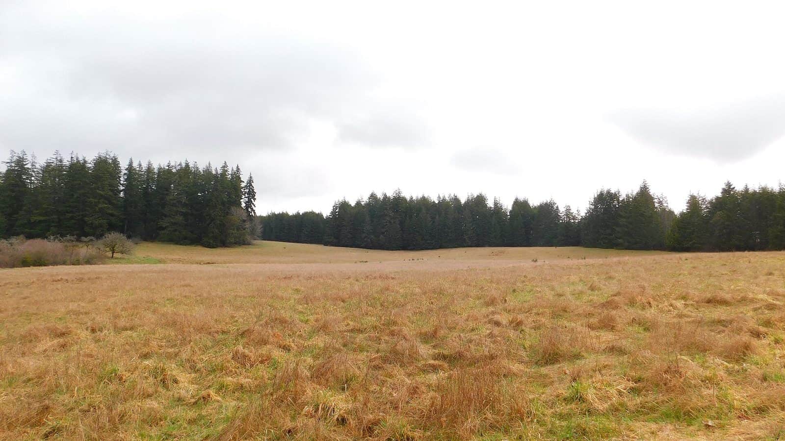
Mount Baker-Snoqualmie National Forest stretches across more than 2.5 million acres of the western slopes of the Washington Cascades, from the Canadian border south to Mount Rainier. The forest encompasses some of the most dramatic volcanic and glacial landscapes in the Pacific Northwest, including the flanks of Mount Baker, Glacier Peak, and the popular ski areas around Snoqualmie Pass.
The forest receives enormous amounts of precipitation on its western slopes, supporting some of the densest temperate rainforest in North America. Ancient stands of Douglas fir, western red cedar, and Sitka spruce tower above moss-covered understories in the lower elevations, while subalpine meadows and alpine glaciers define the higher terrain. Over 1,500 miles of trails traverse the forest, including portions of the Pacific Crest Trail.
Popular destinations include Artist Point near Mount Baker, where summer visitors can walk among wildflower meadows with volcano views in every direction, and the Mountain Loop Highway, which connects Granite Falls to Darrington through old-growth forest and past trailheads leading to alpine lakes. Winter transforms the forest into a skiing and snowshoeing destination, with Stevens Pass, Snoqualmie Pass, and Mount Baker Ski Area all operating within the forest boundary.
The forest is accessible year-round at lower elevations, though many mountain roads close from November through June. A Northwest Forest Pass is required for trailhead parking. The forest serves as Seattle and Puget Sound’s primary outdoor recreation backyard, drawing millions of visitors annually.
Explore Nearby
- Forks of the Sky — State Park in Washington
- Stevens Pass Greenway — Scenic Byway in Washington
- South Huckleberry Mountains — Public Land in Washington
- Rock Creek Station State Historical Park — State Park in Nebraska
- Mukilteo Light — Lighthouse in Washington