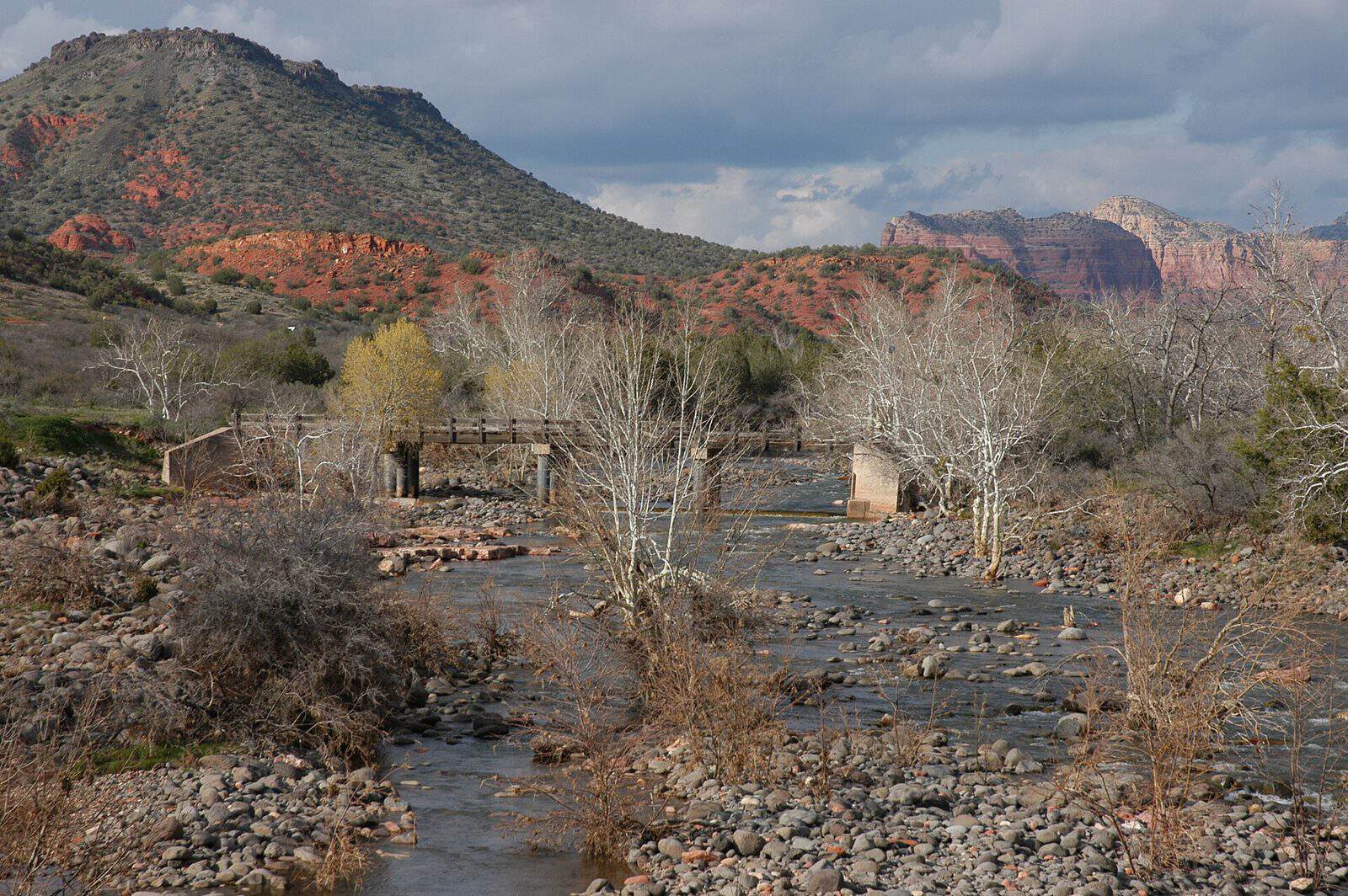
Spanning 1.9 million acres across northern Arizona, Coconino National Forest delivers dramatic elevation shifts from desert scrubland at 2,600 feet to the alpine summit of Humphreys Peak at 12,633 feet—the highest point in Arizona. This remarkable range creates distinct ecological zones within a single forest, from ponderosa pine woodlands to subalpine meadows.
Flagstaff serves as the primary gateway, putting most trailheads and campgrounds within a 30-minute drive. The forest’s 28 campgrounds include developed sites like Canyon Vista and Lower Lake Mary Ramadas, along with group facilities such as Moqui Group Campground and Long Valley Group Campground. For a more rustic experience, Apache Maid Cabin offers four-season lodging.
Hiking trails access red rock formations near Sedona, volcanic landscapes around Sunset Crater, and the challenging climb to Humphreys Peak summit. Anglers find rainbow and brown trout in Upper and Lower Lake Mary, while Oak Creek provides stream fishing through shaded canyon corridors.
Summer months (June through September) bring ideal conditions for high-elevation hiking, though afternoon thunderstorms are common. Fall transforms the forest with golden aspens, particularly along the Inner Basin Trail. Winter opens cross-country skiing and snowshoeing terrain near Flagstaff, while lower elevations remain accessible year-round.
Established in 1908 by President Theodore Roosevelt, Coconino connects to several other public lands, including Kaibab National Forest and Red Rock-Secret Mountain Wilderness. Interstate 40 and Interstate 17 provide direct highway access, making this one of Arizona’s most reachable wilderness destinations.
Explore Nearby
- Slide Rock State Park — State Park in Arizona
- Big Park/Village of Oak Creek, Arizona Dark Sky Community — Dark Sky Site in Arizona
- Sedona, Arizona Dark Sky Park — Dark Sky Site in Arizona
- Red Rock State Park — State Park in Arizona
- the Table Top Wilderness within the Sonoran Desert National Monument — Public Land in Arizona