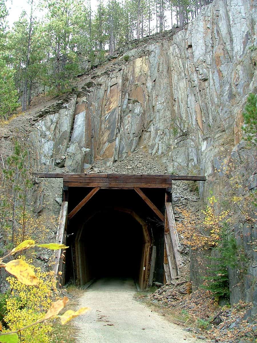
Rising from the Great Plains of southwestern South Dakota and northeastern Wyoming, Black Hills National Forest encompasses 1.3 million acres of rugged terrain dominated by ponderosa pine, with pockets of aspen, bur oak, and birch scattered throughout. Established in 1897, this forest takes its name from the dark appearance created by dense pine coverage when viewed from the prairie below.
The forest offers 450 miles of hiking trails winding through granite spires, limestone caves, and mountain meadows. Anglers will find 11 well-stocked reservoirs throughout the forest, providing reliable fishing opportunities. Nineteen campgrounds serve as base camps for exploration, including Grizzly Bear Campground, Boxelder Forks, Bear Gulch, and Roubaix Lake—each offering different terrain and amenities.
Rapid City, South Dakota provides the primary gateway to the forest, with additional access points near Custer, Spearfish, and Sundance, Wyoming. Forest headquarters in Custer and ranger district offices in each town can provide current trail conditions and permits.
Summer months from June through August bring the warmest weather and peak visitation. Fall delivers brilliant aspen color against evergreen backdrops, while spring snowmelt fills streams and waterfalls. Winter access remains possible at designated off-season campgrounds, though many facilities close from late September through May.
Lower elevations transition into grassland prairie, creating diverse ecosystems within a single trip. This ecological variety, combined with relatively uncrowded trails compared to nearby national parks, makes Black Hills a practical choice for extended backcountry stays.
Explore Nearby
- Mallo Trail — Public Land in Wyoming
- George S. Mickelson Trail — State Park in South Dakota
- Spearfish Canyon Nature Area — State Park in South Dakota
- Peter Norbeck Scenic Byway — Scenic Byway in South Dakota
- Fort Meade Recreation Area — Public Land in South Dakota