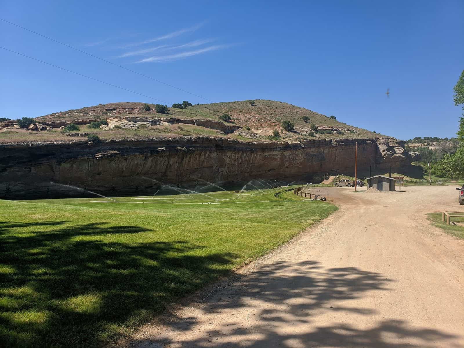
Rising dramatically from the Wyoming plains, Bighorn National Forest spans 1.1 million acres along an 80-mile stretch of the Bighorn Mountains—an isolated range separated from the main Rockies by the Bighorn Basin. Established in 1897, it stands as one of America’s oldest protected forest lands.
The landscape shifts dramatically with elevation, climbing from sagebrush foothills at 5,000 feet to alpine meadows and crystalline lakes near the peaks. Lodgepole pine dominates the mid-elevations, giving way to spruce and fir forests as you ascend. This vertical diversity creates distinct ecosystems within a single visit.
Thirty-one campgrounds offer varied experiences throughout the forest. Leigh Creek Campground provides streamside sites ideal for anglers, while Sheep Mountain Fire Lookout lets adventurous visitors sleep in a historic structure with panoramic views. Muddy Guard Cabin offers rustic shelter for those seeking backcountry solitude. Doyle Creek and Shell Creek campgrounds serve as base camps for exploring the forest’s extensive trail network.
Fishing draws visitors to the forest’s cold mountain streams and stocked lakes, where trout thrive in clean, oxygenated waters. Hiking trails range from gentle meadow walks to strenuous alpine ascents.
Getting There: Sheridan, Wyoming serves as the primary gateway, offering lodging, supplies, and services before entering the forest.
Best Time to Visit: Late June through September provides optimal conditions, with most campgrounds and high-elevation roads accessible. Snow can linger at upper elevations into early summer, and facilities typically close by mid-October.
Explore Nearby
- Medicine Lodge State Archeological Site — State Park in Wyoming
- Trapper Creek WSA — Public Land in Wyoming
- Alkali Creek WSA — Public Land
- Connor Battlefield — State Park in Wyoming