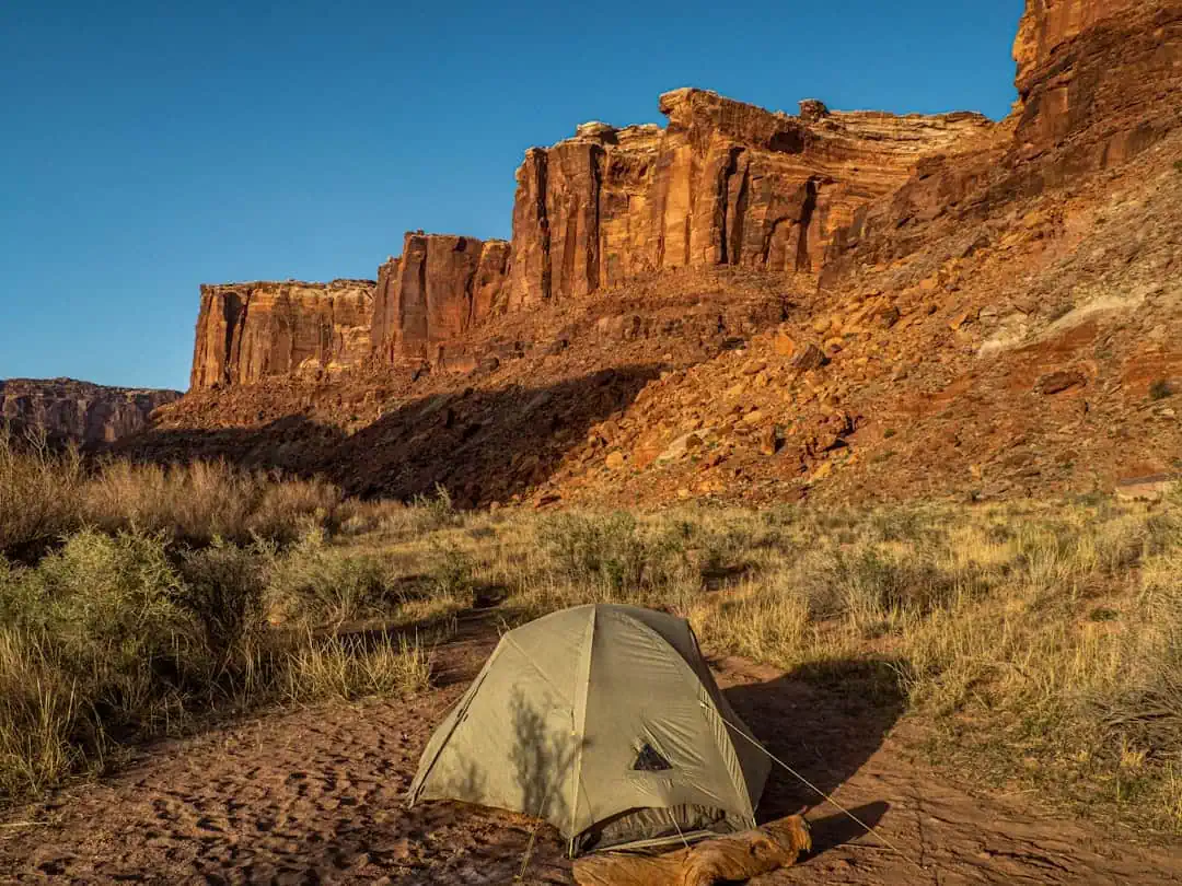
The Energy Loop: Huntington/Eccles Canyons Scenic Byway
Utah
85.9 miles
The Energy Loop: Huntington/Eccles Canyons Scenic Byway traces a 86-mile circuit through the mountains and mining towns of central Utah‘s Carbon and Emery counties. Named for the region’s coal mining heritage, the route climbs through two dramatic canyons in the Manti-La Sal National Forest, connecting the communities of Huntington, Fairview, and Helper.
Huntington Canyon follows the Huntington Creek through a deep, forested gorge where limestone cliffs rise above the roadway and the creek offers excellent trout fishing. Eccles Canyon, on the eastern leg, winds through narrow passages of exposed rock strata that reveal millions of years of geological history. Between the two canyons, the route crosses Skyline Drive at over 10,000 feet elevation, offering panoramic views of the Wasatch Plateau and the desert basins stretching east toward the Book Cliffs.
The Western Mining and Railroad Museum in Helper documents the region’s industrial heritage, while the town itself has reinvented its historic Main Street with galleries and restaurants. Cleveland-Lloyd Dinosaur Quarry, a short detour from the byway, contains one of the densest concentrations of Jurassic-era dinosaur fossils ever discovered, with over 12,000 bones excavated from the site.
Summer and early fall provide the best driving conditions, with wildflowers blooming at higher elevations through July. The upper portions of the route close during winter months. Fall color from aspens and maples peaks in late September to early October. Campgrounds along Huntington Creek provide streamside sites throughout the summer season.
Explore Nearby
- Scofield State Park — State Park in Utah
- Big Rocks Special Recreation Management Area — Public Land in Utah
- Huntington State Park — State Park in Utah
- Price Canyon Recreation Area — Public Land in Utah
- Manti–La Sal National Forest — National Forest in Utah, Colorado
Photos

Nearby Discoveries
12 places to explore within 30 miles

Scofield State Park
7.6 miles away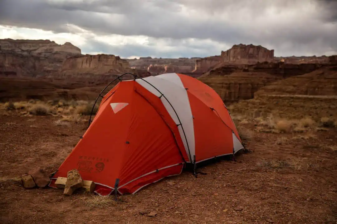
Big Rocks Special Recreation Management Area
12 miles away · 5.0 ★
Huntington State Park
12.4 miles away
Price Canyon Recreation Area
13.8 miles away · 4.6 ★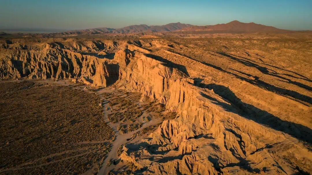
Price Field Office
19.1 miles away · 4.3 ★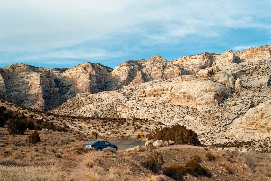
Devil’s Playground Designated Routes
24.4 miles away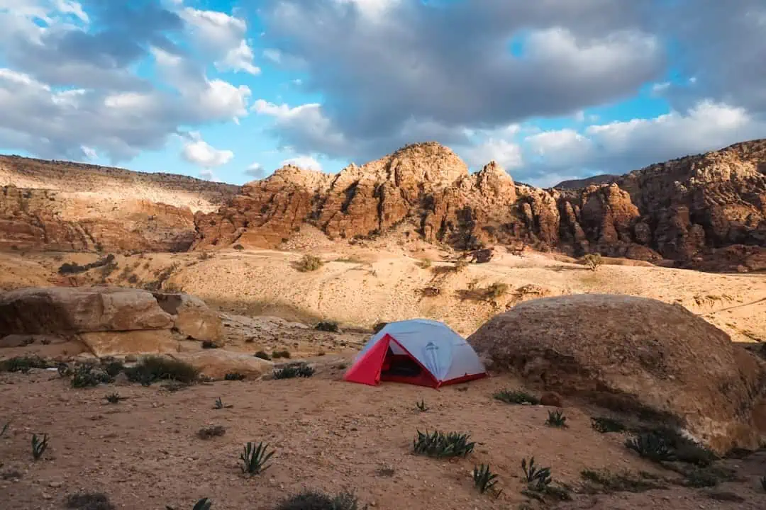
Steep Creek WSA
24.4 miles away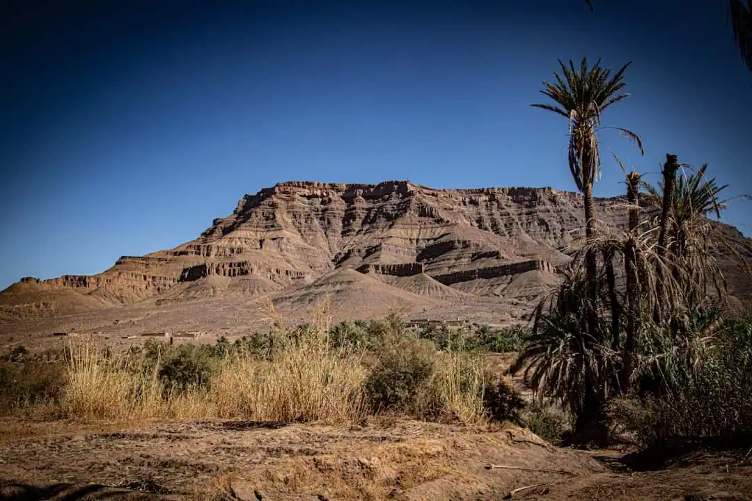
s scenic Grand Staircase-Escalante National Monument
24.4 miles away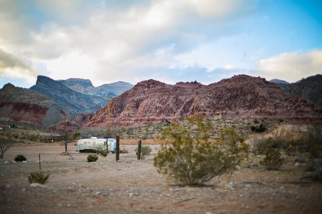
Horseshoe Knolls
24.4 miles away
California National Historic Trail (NHT), Bidwell-Bartelson Route
24.4 miles away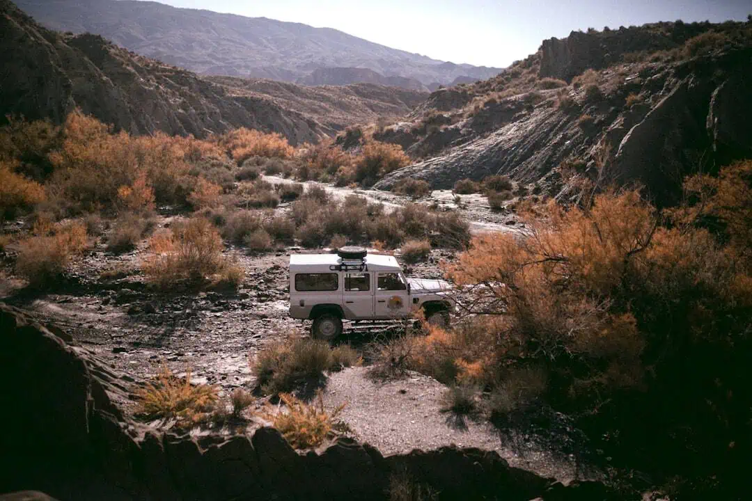
Kolob Creek Wild and Scenic River
24.4 miles away