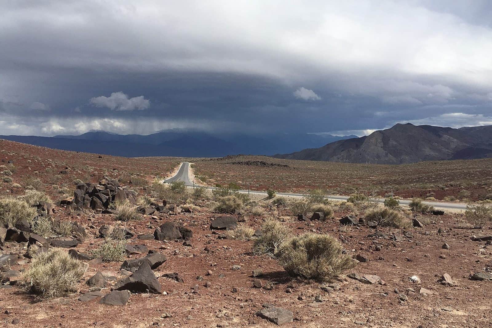
Traverse one of Earth’s most extreme and otherworldly landscapes along the Death Valley Scenic Byway, an 81.5-mile National Scenic Byway crossing through the heart of Death Valley National Park on State Route 190.
This remarkable drive takes you through a land of superlatives—the lowest point in North America at Badwater Basin, the hottest recorded temperatures on the planet, and some of the most dramatically stark beauty anywhere. Along the route, witness the surreal salt flats stretching toward distant mountains, golden sand dunes rising against impossibly blue skies, and multicolored badlands painted in shades of ochre, crimson, and purple.
Key stops include Zabriskie Point’s eroded mudstone formations, the artist’s palette of colors at Dante’s View, and the historic Furnace Creek area. Watch for roadrunners, coyotes, and the resilient desert wildflowers that bloom spectacularly after winter rains.
Best time to visit: October through April, when temperatures are manageable and the light creates stunning photography conditions. Avoid summer months when temperatures regularly exceed 120°F.
Allow: 2-4 hours for the drive alone, though a full day lets you explore viewpoints and short hikes that reveal this ancient seabed’s haunting beauty.
Explore Nearby
- Zmudowski State Beach — State Park in California
- Woodson Bridge State Recreation Area — State Park in California
- Tahoe National Forest — National Forest in California
- Stanislaus National Forest — National Forest in California
- Zane’s Ranch Covered Bridge — Covered Bridge in California


