Connecticut, located in the northeastern region of the United States, is a state known for its rich history, charming small towns, and vibrant cities. With its picturesque coastline, rolling hills, and bustling urban centers, Connecticut offers a unique blend of culture and nature. To help visitors and residents navigate this beautiful state, we have created a detailed map of Connecticut with cities and highways.
This map highlights Connecticut’s major cities, including Hartford, New Haven, Bridgeport, and Stamford, as well as its primary highways and roads. Whether you’re planning a road trip or simply want to explore Connecticut’s unique landscape and culture, this map is an essential tool. So, grab your map and get ready to discover all that Connecticut has to offer, from its historic landmarks to its charming seaside towns and everything in between.
Printable Connecticut Map With Cities and Highways

Cities
Ansonia
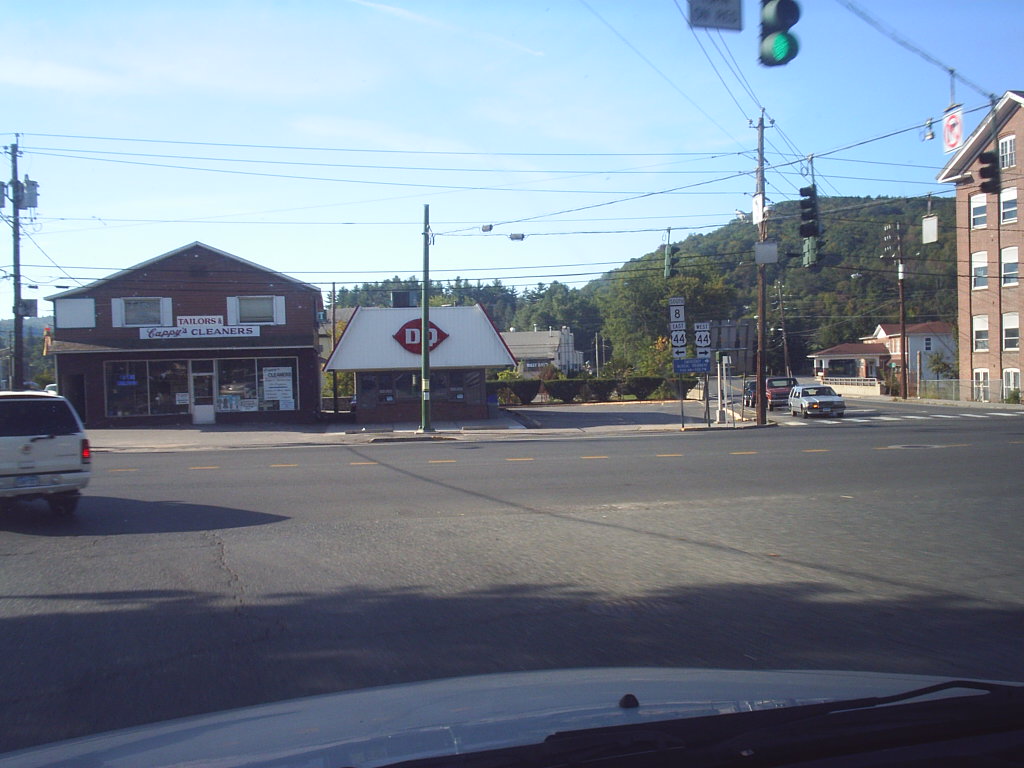
Ansonia is a city located in New Haven County, Connecticut. Situated on the Naugatuck River, it is immediately north of Derby and approximately 12 miles (19 km) northwest of New Haven. Ansonia is part of the Naugatuck Valley Planning Region, which is known for its historic industrial heritage.
As of the 2020 census, the population of Ansonia was 18,918. The city is served by the Metro-North Railroad, with Ansonia Station being a stop on the railroad passenger commuter service’s Waterbury Branch that connects to New York’s Grand Central Terminal.
Ansonia is also served by the Connecticut Transit bus carrier, providing transportation options for residents and visitors. Connecticut Route 8 serves Ansonia, with northbound access at Exit 18 and southbound access at Exit 19. With its rich history and convenient transportation options, Ansonia is an important city in Connecticut.
Bridgeport
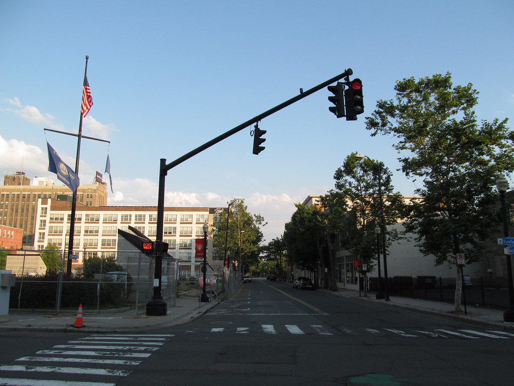
Bridgeport is the most populous city in the state of Connecticut and the fifth-most populous city in New England, with a population of 148,654 according to the 2020 census. Located in eastern Fairfield County at the mouth of the Pequonnock River on Long Island Sound, Bridgeport is a port city that lies 60 miles (97 km) from Manhattan and 40 miles (64 km) from The Bronx.
It is bordered by the towns of Trumbull to the north, Fairfield to the west, and Stratford to the east. Bridgeport is part of the Greater Bridgeport Planning Region, which includes other towns in Fairfield County, as well as the Bridgeport–Stamford–Norwalk–Danbury metropolitan statistical area, the second largest metropolitan area in Connecticut.
The Bridgeport–Stamford–Norwalk–Danbury metropolis forms part of the New York metropolitan area, making Bridgeport an important economic and cultural center in the region.
Bristol
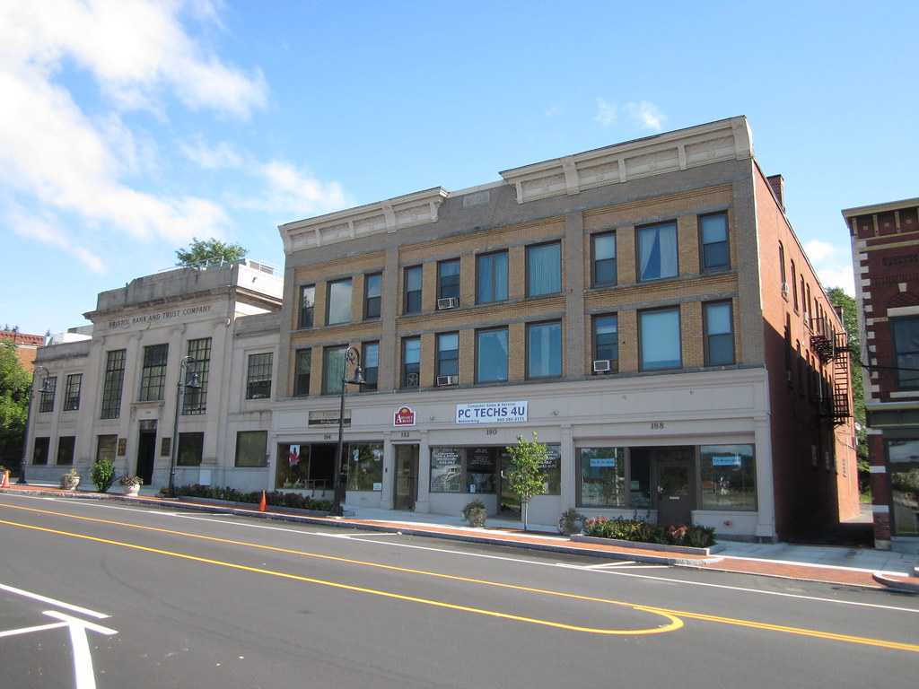
Bristol is a suburban city located in Hartford County, Connecticut, situated 20 miles (32 km) southwest-west of Hartford. The city is also approximately 120 miles southwest of Boston and 100 miles northeast of New York City. Bristol is part of the Naugatuck Valley Planning Region, which is known for its historic industrial heritage.
As of the 2020 census, the population of the city was 60,833. Bristol is home to several notable attractions, including the general studios of ESPN and Lake Compounce, the United States’s oldest continuously operating theme park. The city was known as a clock-making center in the 19th century and is the location of the American Clock & Watch Museum.
Bristol also has a rich history in the silver industry, as it is the site of the former American Silver Company and its predecessor companies. With its diverse attractions and rich history, Bristol is a key city in Connecticut.
Danbury

Danbury is a city located in Fairfield County, Connecticut, approximately 50 miles (80 km) northeast of New York City. As of 2020, Danbury’s population was 86,518, making it the third-largest city in Western Connecticut and the seventh-largest city in Connecticut. Danbury is known as the “Hat City” due to its history as the center of the American hat industry during the nineteenth and early twentieth centuries.
The mineral danburite is named after Danbury, while the city itself is named after Danbury in Essex, England. Danbury is home to several notable institutions, including Danbury Hospital, Western Connecticut State University, Danbury Fair Mall, and Danbury Municipal Airport. In 2015, USA Today ranked Danbury as the second-best city to live in the United States, highlighting its strong economy, excellent schools, and cultural attractions.
In 2021, WalletHub ranked Danbury as the 10th most diverse city in the United States, the most diverse city in New England, and the third most diverse city in the New York metropolitan area, taking into account factors such as socioeconomic, cultural, economic, household, and religious diversity.
Darien
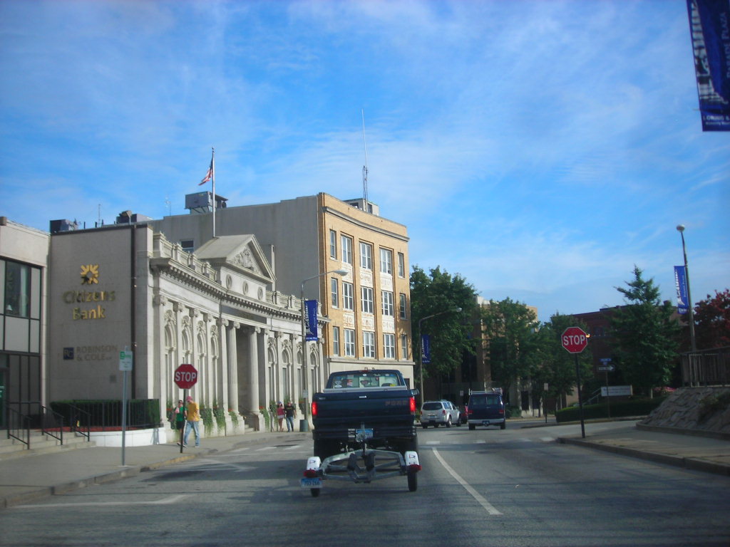
Darien is a charming coastal town located in Fairfield County, Connecticut. With a population of 21,499 and a land area of just under 13 square miles, it is the smallest town on Connecticut’s Gold Coast. The town is part of the Western Connecticut Planning Region and is known for its picturesque beaches, upscale shopping, and top-rated schools.
Darien has the youngest population of any non-college town in Connecticut, with a high rate of marriage and a high average number of children per household. The town’s small size and tight-knit community make it an attractive place to live for families and young professionals alike. With its beautiful coastal location and a strong sense of community, Darien is a principal town in Connecticut’s Gold Coast region.
Derby
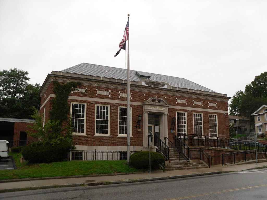
Derby is a city located in New Haven County, Connecticut, approximately 8 miles (13 km) west-northwest of New Haven. The city is situated in southwest Connecticut at the confluence of the Housatonic and Naugatuck rivers and shares borders with the cities of Ansonia to the north and Shelton to the southwest, as well as the towns of Orange to the south, Seymour to the northwest, and Woodbridge to the east.
Derby is part of the Naugatuck Valley Planning Region and has a population of 12,325 according to the 2020 census. It is the smallest city in Connecticut by area, covering just 5.3 square miles (14 km2). Derby has a rich history, having been settled in 1642 as an Indian trading post under the name Paugasset. It was later renamed Derby in 1675, after Derby, England.
The city was once a center of manufacturing, with factories producing everything from corsets to brass instruments. Today, Derby is a charming city with a strong sense of community and a small-town feel, making it an attractive place to live for families and young professionals alike.
East Hartford
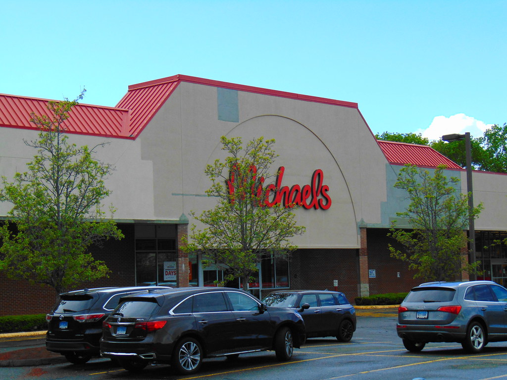
East Hartford is a town located in the Capitol Planning Region of Connecticut. As of the 2020 census, the population of East Hartford was 51,045. The town is situated on the east bank of the Connecticut River, directly across from the city of Hartford, Connecticut. East Hartford is home to several notable institutions, including Pratt & Whitney, an aerospace manufacturer that has been a major employer in the area for decades.
The town is also home to Pratt & Whitney Stadium at Rentschler Field, a stadium primarily used for soccer and football events with a seating capacity of 40,000 people. The stadium has hosted numerous high-profile events, including concerts and international soccer matches. With its strong economy and vibrant cultural scene, East Hartford is a captivating town in Connecticut’s Capitol Planning Region.
East Haven
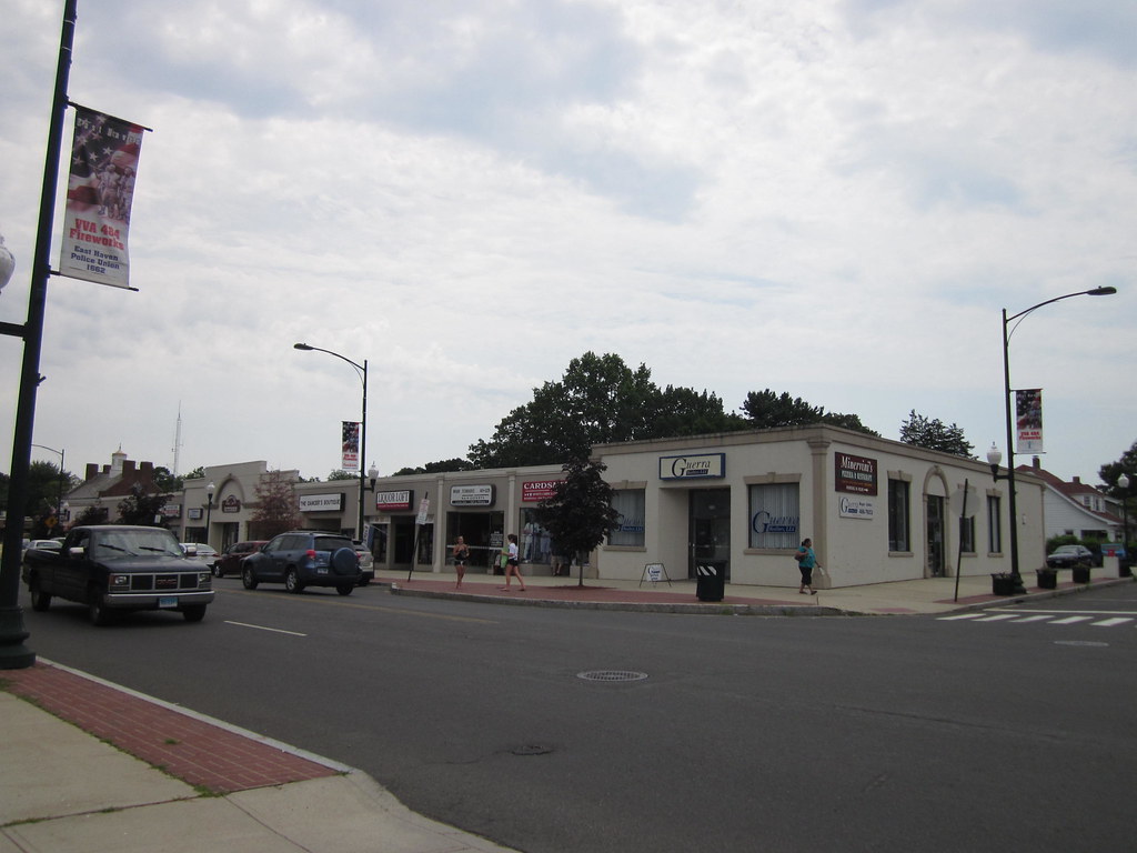
East Haven is a town located in New Haven County, Connecticut. As of the 2020 census, the population of East Haven was 27,923. The town is situated just 3 miles (5 km) east of New Haven and is part of the South Central Connecticut Planning Region. East Haven is conveniently located, with Hartford 35 miles (56 km) away, New York City 82 miles (132 km) away, Providence, Rhode Island 99 miles (159 km) away, and Boston 140 miles (230 km) away.
The town has a rich history, having been settled in the 1630s and incorporated in 1785. East Haven has a strong sense of community and is known for its excellent schools, beautiful parks, and vibrant downtown area. With its convenient location and powerful community spirit, East Haven is a key town in Connecticut’s South Central Planning Region.
Hartford
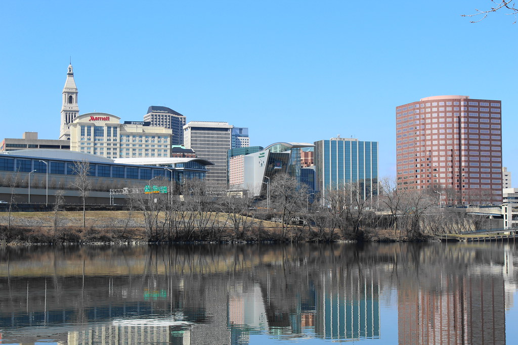
Hartford is the capital city of the U.S. state of Connecticut, located in the Capitol Planning Region. It was the seat of Hartford County until Connecticut disbanded county government in 1960. With a population of 121,054 according to the 2020 census estimates, Hartford is the fourth-largest city in Connecticut, behind the coastal cities of Bridgeport, New Haven, and Stamford.
Hartford is one of the oldest cities in the United States, having been founded in 1635. It is home to several historic landmarks, including the country’s oldest public art museum, the Wadsworth Atheneum, the oldest publicly funded park, Bushnell Park, and the oldest continuously published newspaper, the Hartford Courant. Hartford is also home to the American School for the Deaf, the oldest asylum for the deaf and dumb in the United States, founded in 1817 by Thomas Hopkins Gallaudet.
The city is also famous for being the home of the Mark Twain House, where the author wrote his most famous works and raised his family. Mark Twain himself once wrote, “Of all the beautiful towns it has been my fortune to see, this is the chief.” With its rich history and cultural significance, Hartford is a vibrant city in Connecticut’s Capitol Planning Region.
Manchester
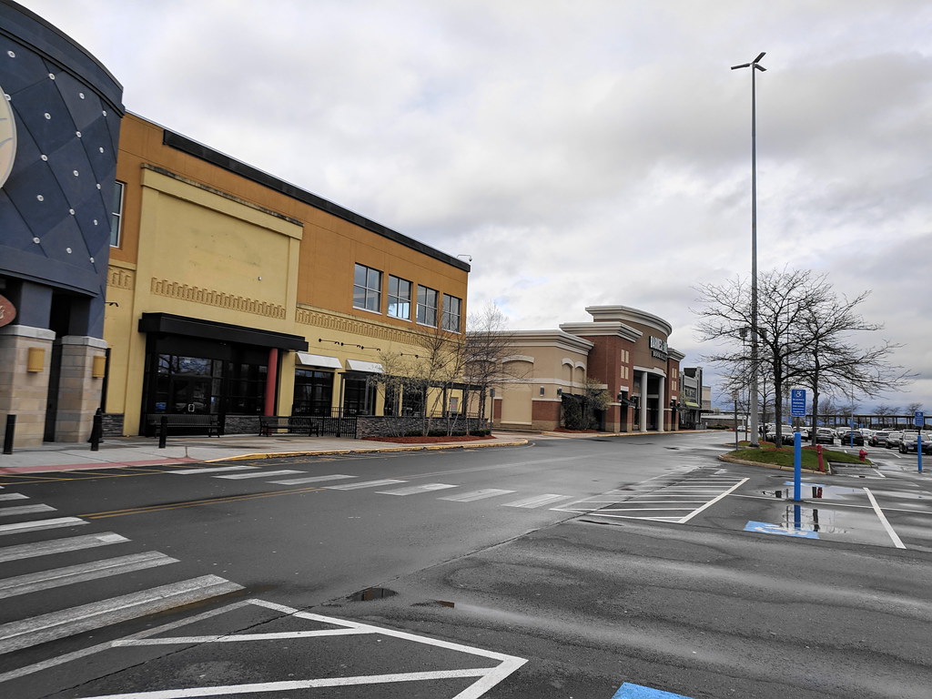
Manchester is a town located in Hartford County, Connecticut, and is part of the Capitol Planning Region. As of the 2020 census, the town had a total population of 59,713. The urban center of the town is the Manchester census-designated place, which had a population of 36,379 at the 2020 census.
Manchester is named after Manchester, England, and has a rich history dating back to the 17th century. The town was once a center of manufacturing, with factories producing everything from silk to paper. Today, Manchester is a flourishing community with a strong sense of community spirit. The town is home to several notable institutions, including Manchester Community College and the Manchester Memorial Hospital.
With its beautiful parks, excellent schools, and thriving downtown area, Manchester is an attractive place to live for families and young professionals alike. With its rich history and strong community spirit, Manchester is an important town in Connecticut’s Capitol Planning Region.
Meriden
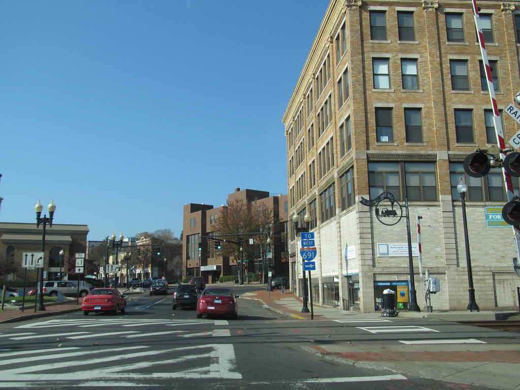
Meriden is a city located in New Haven County, Connecticut, situated halfway between the regional cities of New Haven and Hartford. As part of the South Central Connecticut Planning Region, Meriden is a vital hub connecting the two major cities in the area. With a population of 60,850 according to the 2020 census, Meriden is a bustling city with a strong economy and a diverse population.
The city is known for its beautiful parks, historic architecture, and vivacious downtown area. Meriden is home to several notable institutions, including the MidState Medical Center and the Meriden Markham Municipal Airport. With its central location and excellent amenities, Meriden is a welcoming place to live for families and young professionals alike. With its strong economy and spirited community, Meriden is a principal city in Connecticut’s South Central Planning Region.
Middletown

Middletown is a city located in Middlesex County, Connecticut. The city is situated along the Connecticut River, in the central part of the state, and is 16 miles (26 kilometers) south of Hartford. As the largest city in the Lower Connecticut River Valley Planning Region, Middletown is an important hub for commerce and industry in the area.
The city has a rich history dating back to its incorporation in 1650 by English settlers under the original Native American name, Mattabeseck. The settlement was later renamed Middletown in 1653. Middletown was included in Hartford County when it was organized in May 1666 and was incorporated as a city distinct from the town in 1784.
Both the city and the town were included in the newly formed Middlesex County in May 1785. In 1923, the City of Middletown was consolidated with the Town, making the city limits extensive. Today, Middletown is a vibrant city with a strong sense of community and a thriving downtown area. With its rich history and excellent amenities, Middletown is an attractive place to live for families and young professionals alike.
Milford

Milford is a beautiful coastal city located in New Haven County, Connecticut, situated between New Haven and Bridgeport. As part of the South Central Connecticut Planning Region and the New York metropolitan area, Milford is an important hub connecting the two major cities in the area.
With a population of 50,558 according to the 2020 United States Census, Milford is a vibrant city with a strong economy and a diverse population. The city includes the village of Devon and the borough of Woodmont, both of which offer a unique charm and character to the area. Milford is known for its beautiful beaches, excellent schools, and a powerful sense of community.
The city is home to several notable institutions, including the Milford Hospital and the Milford Public Library. With its central location and excellent amenities, Milford is an attractive place to live for both families and young professionals. With its growing economy and friendly community, Milford is an important city in Connecticut’s South Central Planning Region.
Naugatuck

Naugatuck is a unique consolidated borough and town located in New Haven County, Connecticut. The town is situated on both sides of the Naugatuck River, just south of Waterbury, and includes the communities of Union City on the east side of the river, Straitsville on the southeast along Route 63, and Millville on the west along Rubber Avenue.
As part of the Naugatuck Valley Planning Region, Naugatuck is an important hub connecting the various communities in the area. With a population of 31,519 according to the 2020 census, Naugatuck is a bustling town with a strong economy and a diverse population. The town is known for its beautiful parks, historic architecture, and vibrant downtown area.
Naugatuck is home to several notable institutions, including the Naugatuck Valley Community College and the Naugatuck Historical Society Museum. With its central location and excellent amenities, Naugatuck is an attractive place to live for families and young professionals alike. With its robust economy and lively sense of community, Naugatuck is an important town in Connecticut’s Naugatuck Valley Planning Region.
New Britain
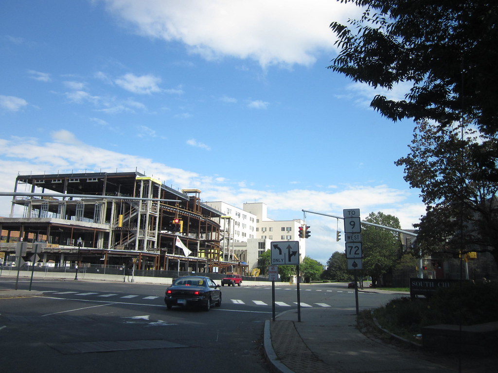
New Britain is a vibrant city located in Hartford County, Connecticut, approximately 9 miles (14 km) southwest of Hartford. As part of the Capitol Planning Region, New Britain is an important hub connecting the various communities in the area. With a population of 74,135 according to the 2020 Census, New Britain is a bustling city with a secure economy and a diverse population.
The city is known for its rich history as a center for industry during the 19th and early 20th centuries, and notable sites listed on the National Register of Historic Places include Walnut Hill Park, developed by the landscape architect Frederick Law Olmsted, and Downtown New Britain. New Britain is also home to Central Connecticut State University and Charter Oak State College, making it an important center for education in the area.
The city’s official nickname is the “Hardware City” because of its history as a manufacturing center and as the headquarters of Stanley Black & Decker. With its large Polish population, the city is often playfully referred to as “New Britski.” With its thriving economy, excellent amenities, and spirited population, New Britain is an attractive place to live for both families and young professionals.
New Haven
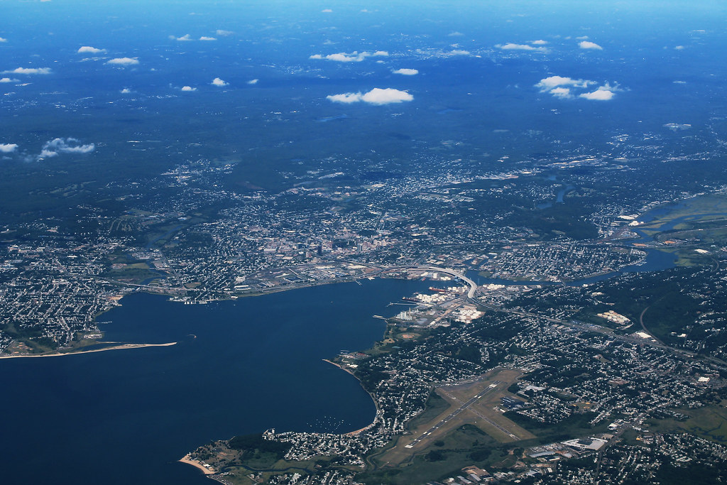
New Haven is a vibrant city located in New Haven County, Connecticut. The city is situated on New Haven Harbor on the northern shore of Long Island Sound and is part of the New York City metropolitan area. With a population of 135,081 according to the 2020 U.S. census, New Haven is the third largest city in Connecticut after Bridgeport and Stamford. It is also the largest city in the South Central Connecticut Planning Region and the principal municipality of Greater New Haven, which had a total population of 864,835 in 2020.
Prior to 1960, New Haven was the county seat of New Haven County until the county governments were abolished that year. New Haven is known for its rich history, vital arts scene, and excellent educational institutions, including Yale University and Southern Connecticut State University.
The city is also home to several notable institutions, including the Peabody Museum of Natural History and the Shubert Theater. With its strong economy, excellent amenities, and diverse population, New Haven is an attractive place to live for families and young professionals alike.
New London
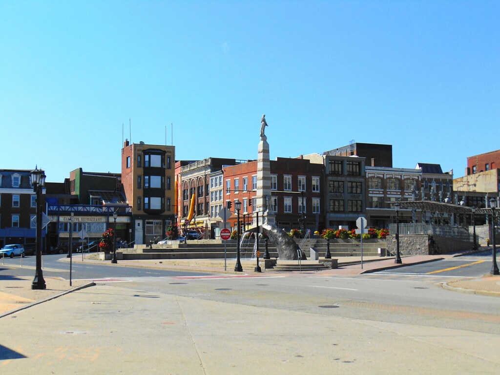
New London is a delightful seaport city and port of entry located at the mouth of the Thames River in New London County, Connecticut, on the northeast coast of the United States. As part of the Southeastern Connecticut Planning Region, New London is an important hub connecting the various communities in the area.
With a population of 27,367 according to the 2020 census, New London is a bustling city with a rich history and a strong sense of community. The city is home to several notable institutions, including the United States Coast Guard Academy, Connecticut College, Mitchell College, and The Williams School. The Coast Guard Station New London and New London Harbor are home ports to the Coast Guard Cutter Coho and the Coast Guard’s tall ship Eagle.
The Norwich-New London metropolitan area includes 21 towns and 274,055 people, making it an important economic center in the region. With its beautiful waterfront, excellent schools, and thriving downtown area, New London is an attractive place to live for families and young professionals alike. With its secure economy and energetic community, New London is a key city in Connecticut’s Southeastern Planning Region.
Newington
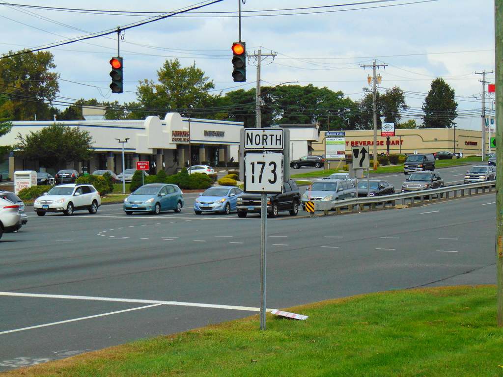
Newington is a wonderful town located in Hartford County, Connecticut, United States. The town is situated 8 miles (13 km) south of downtown Hartford and is an older, mainly residential suburb located in Greater Hartford. With a population of 30,527 as of 2023, Newington is a bustling town with a friendly sense of community.
The Connecticut Department of Transportation has its headquarters in Newington, making it an important center for transportation in the area. Newington is also home to Mill Pond Falls, a beautiful natural landmark located near the center of town. The falls are celebrated each fall during the Waterfall Festival, a popular event that draws visitors from all over the region.
With its excellent schools, picturesque parks, and lively downtown area, Newington is a rewarding place to live for both families and young professionals. With its welcoming sense of community and excellent amenities, Newington is a major town in Connecticut’s Greater Hartford area.
North Haven
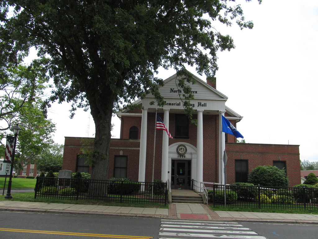
North Haven is a pleasant town located in New Haven County, Connecticut, on the outskirts of New Haven. As part of the South Central Connecticut Planning Region, North Haven is an important hub connecting the various communities in the area. With a population of 24,253 according to the 2020 census, North Haven is an energetic town with a wonderful sense of community.
The town is home to the Quinnipiac University School of Health Sciences, the School of Nursing, the School of Law, the School of Education, and the School of Medicine on Bassett Road, making it an important center for education in the area. North Haven has easy access to Interstate 91 and the Wilbur Cross Parkway (Route 15), making it an important transportation hub in the region.
The town is also near Sleeping Giant State Park and less than 10 miles (16 km) from downtown New Haven and Yale University, making it an attractive place to live for families and young professionals alike. With its brilliant schools, impressive parks, and thriving downtown area, North Haven is a principal town in Connecticut’s South Central Planning Region.
Norwalk
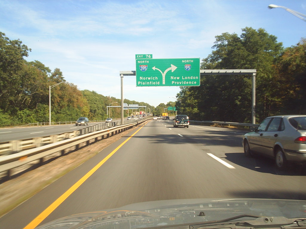
Norwalk is a vibrant city located in Western Connecticut, United States, in southern Fairfield County, on the northern shore of the Long Island Sound. Norwalk lies within both the New York metropolitan area and the Bridgeport metropolitan area, making it an important hub connecting the various communities in the region.
Originally settled in 1649, Norwalk has a rich history and is the sixth-most populous city in Connecticut. According to the 2020 United States Census, Norwalk has a population of 91,184, making it an important economic and cultural center in the area. Norwalk is known for its beautiful beaches, thriving arts scene, and excellent schools, including Norwalk Community College and Norwalk Public Schools.
With its central location, robust economy, and diverse population, Norwalk is an attractive place to live for families and young professionals alike. With its up-to-date amenities and energetic community, Norwalk is an important city in Connecticut’s Fairfield County.
Norwich

Norwich, also known as “The Rose of New England,” is a charming city located in New London County, Connecticut, United States. The Yantic, Shetucket, and Quinebaug Rivers flow into the city and form its harbor, from which the Thames River flows south to Long Island Sound. As part of the Southeastern Connecticut Planning Region, Norwich is an important hub connecting the various communities in the area.
With a population of 40,125 according to the 2020 United States Census, Norwich is a lively city with a rich history and a strong sense of community. The city is known for its beautiful waterfront, thriving arts scene, and excellent educational institutions, including Three Rivers Community College and Norwich Free Academy.
With its central location and great amenities, Norwich is an attractive place to live for families and young professionals. With its secure economy and welcoming community, Norwich is a vital city in Connecticut’s Southeastern Planning Region.
Orange

Orange is a charming town located in New Haven County, Connecticut, United States. As part of the South Central Connecticut Planning Region, Orange is an important hub connecting the various communities in the area. With a population of 14,280 according to the 2020 census, Orange is a small but vibrant town with a friendly sense of community.
The town is governed by a Board of Selectmen, which ensures that the town’s needs are met and that its residents are well taken care of. Orange is known for its flourishing schools, pretty parks, and thriving downtown area, making it an attractive place to live for families and young professionals alike. With its thriving economy, excellent amenities, and diverse population, Orange is an important town in Connecticut’s South Central Planning Region.
Shelton
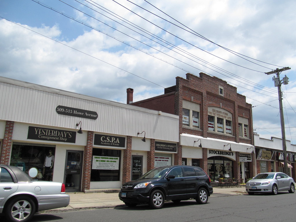
Shelton is an energetic city located in Fairfield County, Connecticut, United States. As part of the Naugatuck Valley Planning Region, Shelton is an important hub connecting the various communities in the area. With a population of 40,869 according to the 2020 United States Census, Shelton is a vivacious city with a friendly sense of community.
The city is known for its beautiful parks, excellent schools, and electric downtown area, making it an attractive place to live for families and young professionals alike. Shelton is also home to several notable institutions, including the Shelton Intermediate School and the Shelton High School. With its strong economy, excellent amenities, and diverse population, Shelton is a key city in Connecticut’s Naugatuck Valley Planning Region.
Stamford
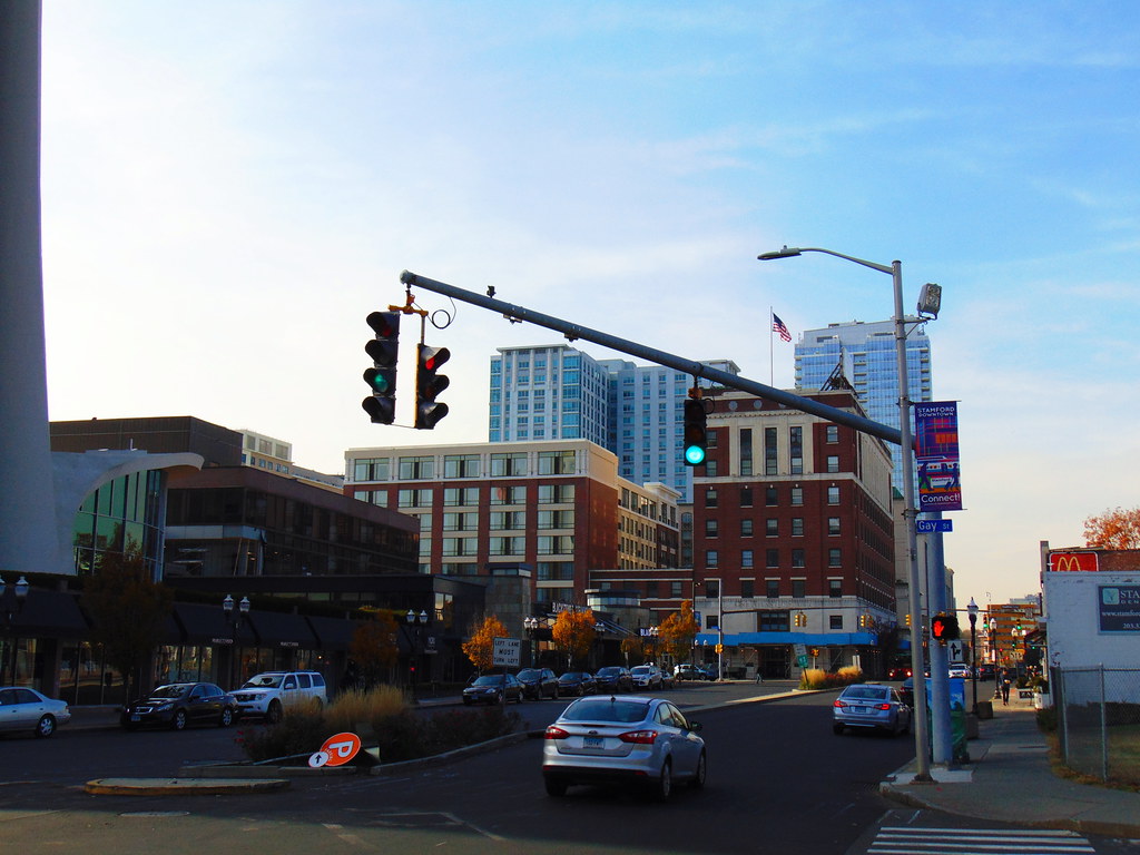
Stamford is a spirited city located in Fairfield County, Connecticut, just 34 miles (55 kilometers) outside of New York City. As the largest city in the Western Connecticut Planning Region and Connecticut’s second-most populous city behind Bridgeport, Stamford is an important economic and cultural center in the area.
With a population of 135,470 as of the 2020 census, Stamford has surpassed Hartford and New Haven in population, making it an important city in Connecticut. Stamford is in the Bridgeport-Stamford-Norwalk-Danbury metropolitan statistical area, which is part of the New York City metropolitan area (specifically, the New York–Newark, NY–NJ–CT–PA Combined Statistical Area).
The city is known for its robust economy, excellent amenities, and diverse population, making it an attractive place to live for families and young professionals alike. Stamford is home to several notable institutions, including the University of Connecticut Stamford and the Stamford Museum & Nature Center. With its thriving downtown area, beautiful parks, and excellent schools, Stamford is an important city in Connecticut’s Fairfield County.
Stratford

Stratford is a delightful town located in Fairfield County, Connecticut, United States. Situated on Long Island Sound at the mouth of the Housatonic River, Stratford is known for its beautiful waterfront and stunning natural scenery. The town is part of the Greater Bridgeport Planning Region and the Bridgeport-Stamford-Norwalk Metropolitan Statistical Area, making it an important hub connecting the various communities in the area.
Stratford was settled by Puritans in 1639 and has a deep history and cultural heritage. With a population of 52,355 as of the 2020 census, Stratford is a bustling town with a powerful sense of community. The town is bordered on the west by Bridgeport, to the north by Trumbull and Shelton, and on the east by Milford (across the Housatonic River).
Stratford has a historical legacy in aviation, the military, and theater, making it an important cultural center in the area. With its welcoming schools, beautiful parks, and wonderful downtown area, Stratford is an attractive place to live for families and young professionals alike. With its strong economy and vibrant community, Stratford is an important town in Connecticut’s Fairfield County.
Torrington

Torrington is a bustling city located in Litchfield County, Connecticut and the Northwest Hills Planning Region. As the most populated municipality and largest city in Litchfield County, Torrington is an important economic and cultural center in the area. It is also the core city of Greater Torrington, one of the largest micropolitan areas in the United States.
With a population of 35,515 according to the 2020 census, Torrington is a flourishing city with a marvelous sense of community. The city is located roughly 23 miles (37 km) west of Hartford, 34 miles (55 km) southwest of Springfield, Massachusetts, 67 miles (108 km) southeast of Albany, New York, 84 miles (135 km) northeast of New York City, and 127 miles (204 km) west of Boston, Massachusetts, making it an important hub connecting the various communities in the region.
Torrington is known for its gorgeous parks, great schools, and thriving downtown area, making it an attractive place to live for families and young professionals alike. With its strong economy, modern amenities, and diverse population, Torrington is an important city in Connecticut’s Litchfield County.
Waterbury
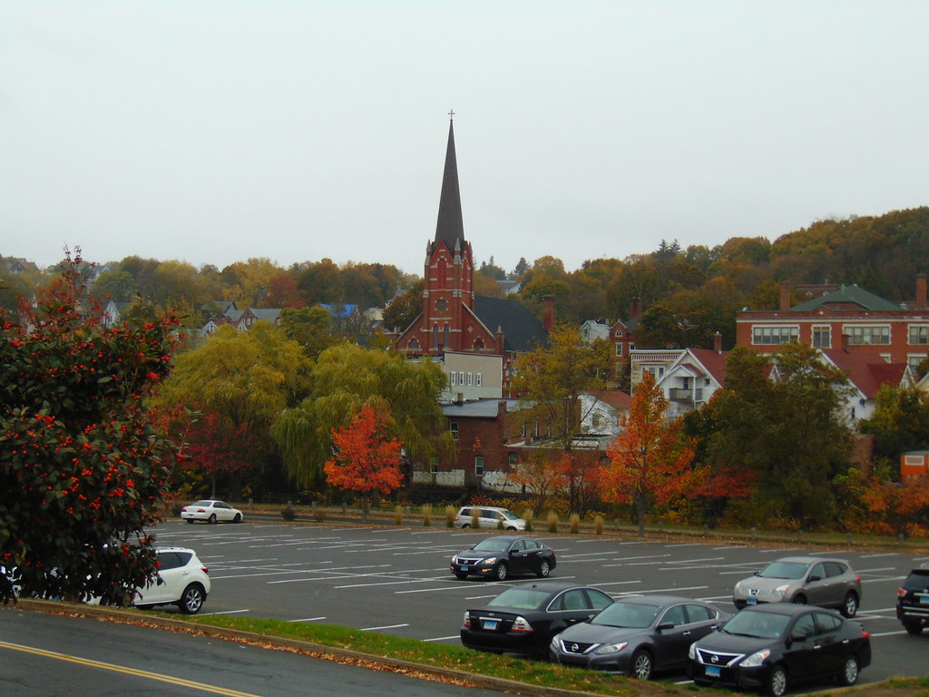
Waterbury is a vibrant city located in the U.S. state of Connecticut on the Naugatuck River, 33 miles (53 km) southwest of Hartford and 77 miles (124 km) northeast of New York City. As the largest city in the Naugatuck Valley Planning Region and the second-largest city in New Haven County, Waterbury is a vital economic and cultural center in the area. According to the 2020 US Census, in 2020 Waterbury had a population of 114,403, making it one of the largest cities in Connecticut.
As of the 2010 census, Waterbury had a population of 110,366, making it the 10th largest city in the New York Metropolitan Area, the 9th largest city in New England, and the 5th largest city in Connecticut. Waterbury is known for its secure economy, plentiful amenities, and diverse population, making it an attractive place to live for both families and young professionals.
The city is home to several notable institutions, including the University of Connecticut Waterbury and the Waterbury Symphony Orchestra. With its thriving downtown area, beautiful parks, and excellent schools, Waterbury is an important city in Connecticut’s New Haven County.
West Hartford
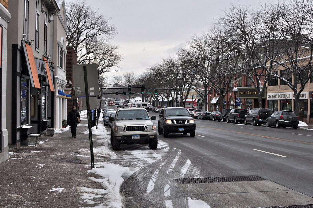
West Hartford is a delightful town located in Hartford County, Connecticut, United States, just 5 miles (8.0 km) west of downtown Hartford. As part of the Capitol Planning Region, West Hartford is an important hub connecting the various communities in the area. With a population of 64,083 according to the 2020 census, West Hartford is a bustling town with a great sense of community.
The town’s popular downtown area is colloquially known as “West Hartford Center,” or simply “The Center,” and is centered on Farmington Avenue and South/North Main Street. West Hartford Center has been the community’s main commercial hub since the late 17th century and is known for its excellent restaurants, boutique shops, and cultural events.
West Hartford is also home to several notable institutions, including the University of Hartford and Saint Joseph College. With its excellent schools, pretty parks, and energetic downtown area, West Hartford is a captivating place to live for families and young professionals alike. With its strong economy and vibrant community, West Hartford is a key town in Connecticut’s Hartford County.
Windsor Locks
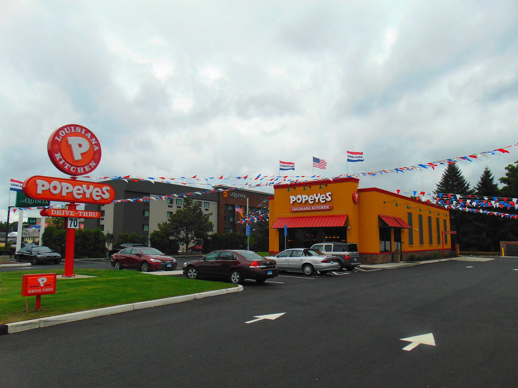
Windsor Locks is a picturesque town located in Hartford County, Connecticut, United States. As part of the Capitol Planning Region, Windsor Locks is a vital hub connecting the various communities in the area. With a population of 12,613 according to the 2020 census, Windsor Locks is a small but vibrant town with a robust sense of community.
It is the site of Bradley International Airport, which serves the Greater Hartford-Springfield region and occupies approximately 1/3 of the town, making it an important economic center in the area. Windsor Locks is also the site of the New England Air Museum, which is a popular attraction for aviation enthusiasts. The town is named for a set of canal locks that opened in 1829 and is situated just south of the first large falls in the Connecticut River, the Enfield Falls, which is the head of navigation of the Connecticut River.
The Enfield Falls Canal circumvents the Enfield Falls and its nearby shallows, making it an important transportation hub in the area. With its excellent schools, beautiful parks, and electric downtown area, Windsor Locks is a welcoming place to live for families and young professionals alike. With its secure economy and lively community spirit, Windsor Locks is a chief town in Connecticut’s Hartford County.
Highways
Route 1
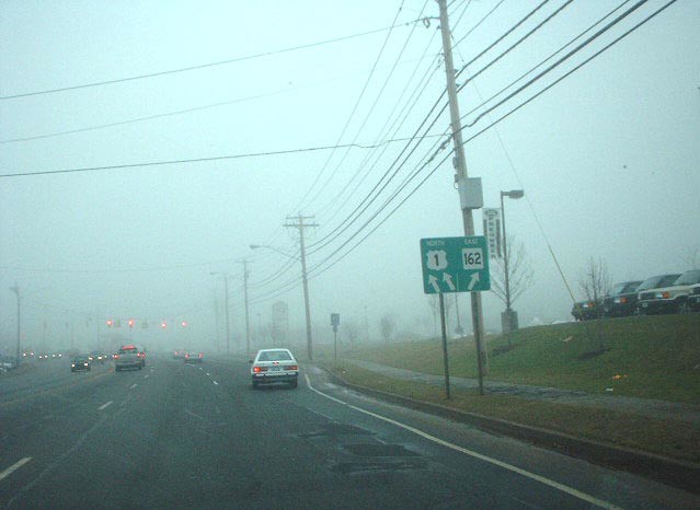
U.S. Route 1 (US 1) in Connecticut is a major east-west highway that runs along the Long Island Sound. Although it has been largely replaced by Interstate 95 (I-95) as a through route, US 1 still serves as an important local business route. Despite its east-west orientation, US 1 is mostly signed north-south and is part of a larger north-south route.
The highway is also known as the Boston Post Road, which was its predecessor, and in many towns, it is still referred to by this name. US 1 passes through several Connecticut towns, including Stamford, Norwalk, Westport, Fairfield, Bridgeport, Stratford, Milford, and New Haven, and is an important transportation artery in the state.
Route 5
U.S. Route 5 (US 5) is a north-south highway that runs through several states in the Northeastern United States, including Connecticut. The highway is generally paralleled by Interstate 91 (I-91) and begins at the city of New Haven in Connecticut, heading north through western Massachusetts and eastern Vermont to the international border with Canada.
Within Connecticut, US 5 passes through several towns, including Meriden and Hartford, before continuing on to Springfield, Massachusetts. The highway is an important transportation artery in the state and provides a direct route for travelers heading north from New Haven. US 5 is also known as the “New Haven-Hartford-Springfield Corridor” and is a vital link between these major metropolitan areas.
Route 6
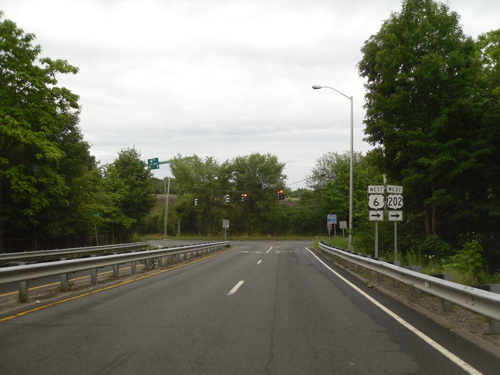
U.S. Route 6 (US 6) is a major east-west highway that runs through several states in the Northeastern United States, including Connecticut. Within the state of Connecticut, US 6 spans a distance of 116.33 miles (187.21 km) from the New York state line near Danbury to the Rhode Island state line in Killingly. West of Hartford, the highway closely parallels or runs along Interstate 84 (I-84), which has largely replaced US 6 as a through route in western Connecticut. However, east of Hartford, US 6 serves as a primary route for travel between Hartford and Providence.
The highway passes through several Connecticut towns, including Bristol, Farmington, and Windham, and is an important transportation artery in the state. US 6 is also known as the Grand Army of the Republic Highway and is a key link between several major metropolitan areas in the Northeastern United States.
Route 7
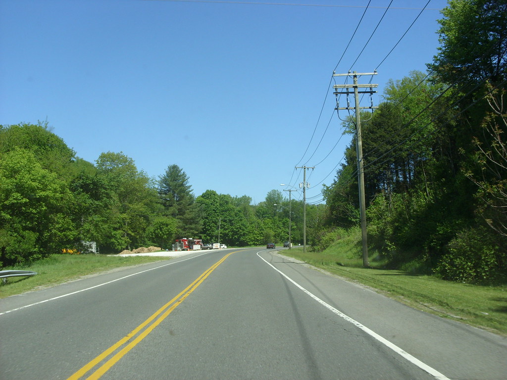
U.S. Route 7 (US 7) is a north-south highway that spans a distance of 78 miles (126 km) within the state of Connecticut. The highway begins at Interstate 95 (I-95) in Norwalk and starts out as a freeway until the Wilton town line. US 7 then proceeds north as a two-lane surface road through Redding and Ridgefield, where it becomes a four-lane surface road until it reaches Danbury.
The highway becomes a freeway again, merging with I-84 for a brief period before turning and proceeding north with US 202 in Brookfield. The freeway section of US 7 terminates at an intersection with US 202 at the Fairfield-Litchfield county line next to Candlewood Lake. The highway then continues north as an expressway to New Milford, where it becomes a two-lane surface road, running north to the Massachusetts border in North Canaan.
US 7 was aligned to its current route around 1930, and since then, three sections totaling around 12 miles (19 km) have been upgraded to freeway standards. US 7 is an important transportation artery in Connecticut, connecting several towns and cities in the western part of the state.
Route 44
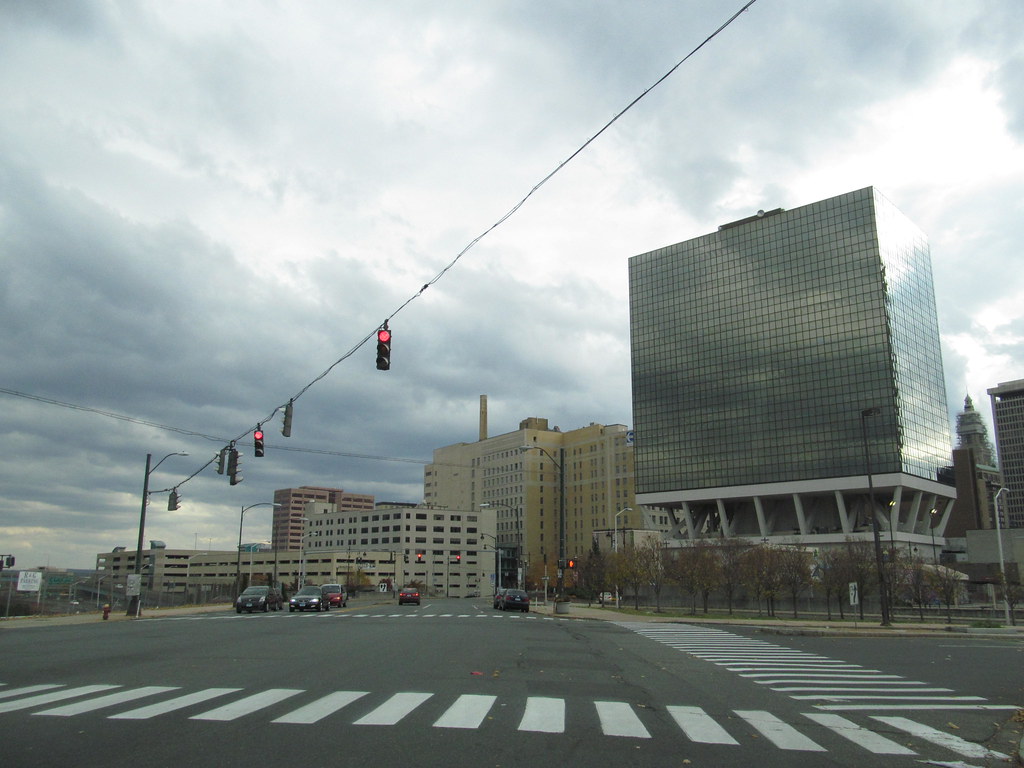
U.S. Route 44 (US 44) is a major east-west highway that spans a distance of 106 miles (171 km) within the state of Connecticut. For most of its journey through Connecticut, US 44 is known as the Jonathan Trumbull Highway. The highway is also known by several local names, including Albany Turnpike in Canton, West/East Main Street and Avon Mountain Road in Avon, Albany Avenue through West Hartford into Hartford, Boston Turnpike from Bolton Notch to Ashford, and Providence Pike near the Rhode Island border.
US 44 enters Connecticut from the town of North East, New York, and passes through several towns, including Salisbury, North Canaan, Norfolk, Winchester, Winsted, Barkhamsted, New Hartford, Canton, West Hartford, and Hartford, before crossing the Connecticut River on the Bulkeley Bridge into East Hartford.
The highway then passes through several more towns, including Manchester, Bolton, Coventry, Mansfield, Ashford, Eastford, Pomfret, and Putnam, before crossing the Rhode Island state line into the town of Glocester. US 44 is an important transportation artery in Connecticut, connecting several towns and cities in the central and eastern parts of the state.
Route 202

U.S. Route 202 (US 202) is a major east-west highway that spans a distance of 70 miles (110 km) within the state of Connecticut. The highway enters Connecticut from the New York state line in Danbury, overlaps with U.S. Route 6, and ends at the Massachusetts state line in Granby, overlapping with Route 10. Although US 202 serves no major city centers for most of its run, with the largest city being Danbury, it does pass through Hartford County, serving the northern fringe of Greater Hartford.
The highway is overlapped with other routes for most of its length and is usually signed as an east-west route in Connecticut. US 202 passes through several towns, including New Milford, Litchfield, Torrington, and Canton, and is an important transportation artery in the state. The highway is also known as the “Bantam-Bristol Highway” and is an important link between several towns and cities in western Connecticut.
Interstates
Interstate 91
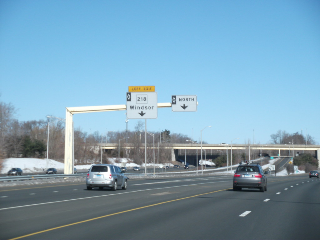
Interstate 91 (I-91) is a major north-south highway that spans a distance of 290 miles (470 km) in the New England region of the United States. It is the primary north-south thoroughfare in the western part of the region, connecting several major metropolitan areas in Connecticut, Massachusetts, and Vermont. The highway’s southern terminus is in New Haven, Connecticut, at I-95, while its northern terminus is in Derby Line, Vermont, at the Canadian border.
Beyond the Derby Line-Rock Island Border Crossing, the road continues into Canada as Quebec Autoroute 55. I-91 is the longest of three Interstate highways whose entire route is located within the New England states and is also the only primary (two-digit) Interstate Highway in New England to intersect all five of the other highways that run through the region.
The highway passes through several towns and cities, including New Haven, Hartford, Springfield, Northampton, Greenfield, Brattleboro, White River Junction, St. Johnsbury, and Newport, and is an important transportation artery in the region.
Interstate 95

Interstate 95 (I-95) is a major north-south highway that spans a distance of 111.57 miles (179.55 km) in Connecticut, running in a general east-west compass direction from the New York state line to the Rhode Island state line. It is the main north-south Interstate Highway on the East Coast of the United States and is an important transportation artery in Connecticut.
I-95 from Greenwich to East Lyme is part of the Connecticut Turnpike, during which it passes through the major cities of Stamford, Bridgeport, and New Haven. After leaving the turnpike in East Lyme, I-95 is known as the Jewish War Veterans Memorial Highway and passes through several towns and cities, including New London, Groton, and Mystic, before exiting the state through North Stonington at the Rhode Island border.
The highway is an important link between several major metropolitan areas in the region and is a vital transportation route for commuters and businesses alike.
Interstate 395
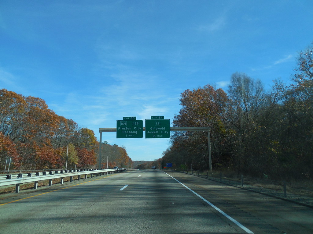
Interstate 395 (I-395) is an auxiliary Interstate Highway in the U.S. states of Connecticut and Massachusetts, maintained by the Connecticut Department of Transportation (CTDOT) and the Massachusetts Department of Transportation (MassDOT). Spanning nearly 67 miles (108 km) on a south-north axis, it is the only spur route of I-95 in Connecticut.
The 36-mile (58 km) section between its splits from I-95 in East Lyme and Connecticut Route 695 in Plainfield is a component highway of the Connecticut Turnpike. Within that state, the highway is named the American Ex-Prisoner of War Memorial Highway from Plainfield to Thompson. The highway was first established as part of the Connecticut Turnpike in 1958, while the Connecticut Route 52 designation was applied to the portion north of the turnpike in 1967.
Connecticut Route 52 was intended to become a southern extension of I-290, although the current designation of I-395 was ultimately assigned in 1983. I-395 is an important transportation artery in Connecticut, connecting several towns and cities in the eastern part of the state.
Interstate 84

Interstate 84 (I-84) is a major east-west Interstate Highway that spans a distance of 86 miles (138 km) across the state of Connecticut, connecting several major cities and towns, including Danbury, Waterbury, Hartford, and Union. The highway is an important transportation artery in Connecticut, linking several major metropolitan areas in the state and beyond.
I-84 enters Connecticut from New York in Danbury and passes through several towns and cities, including Waterbury, where it overlaps with Route 8 for a short distance, and Hartford, where it passes through the downtown area.
The highway then continues eastward, passing through several more towns before crossing into Massachusetts near Union. I-84 is an important route for commuters and businesses alike and is a vital link between several major cities and towns in the state and beyond.

