
Yucatan Peninsula – Maps, History and Culture
The Yucatan Peninsula map contains the three Mexican states of Campeche, Quintana Roo, and Yucatan. It is the tip …

The Yucatan Peninsula map contains the three Mexican states of Campeche, Quintana Roo, and Yucatan. It is the tip …
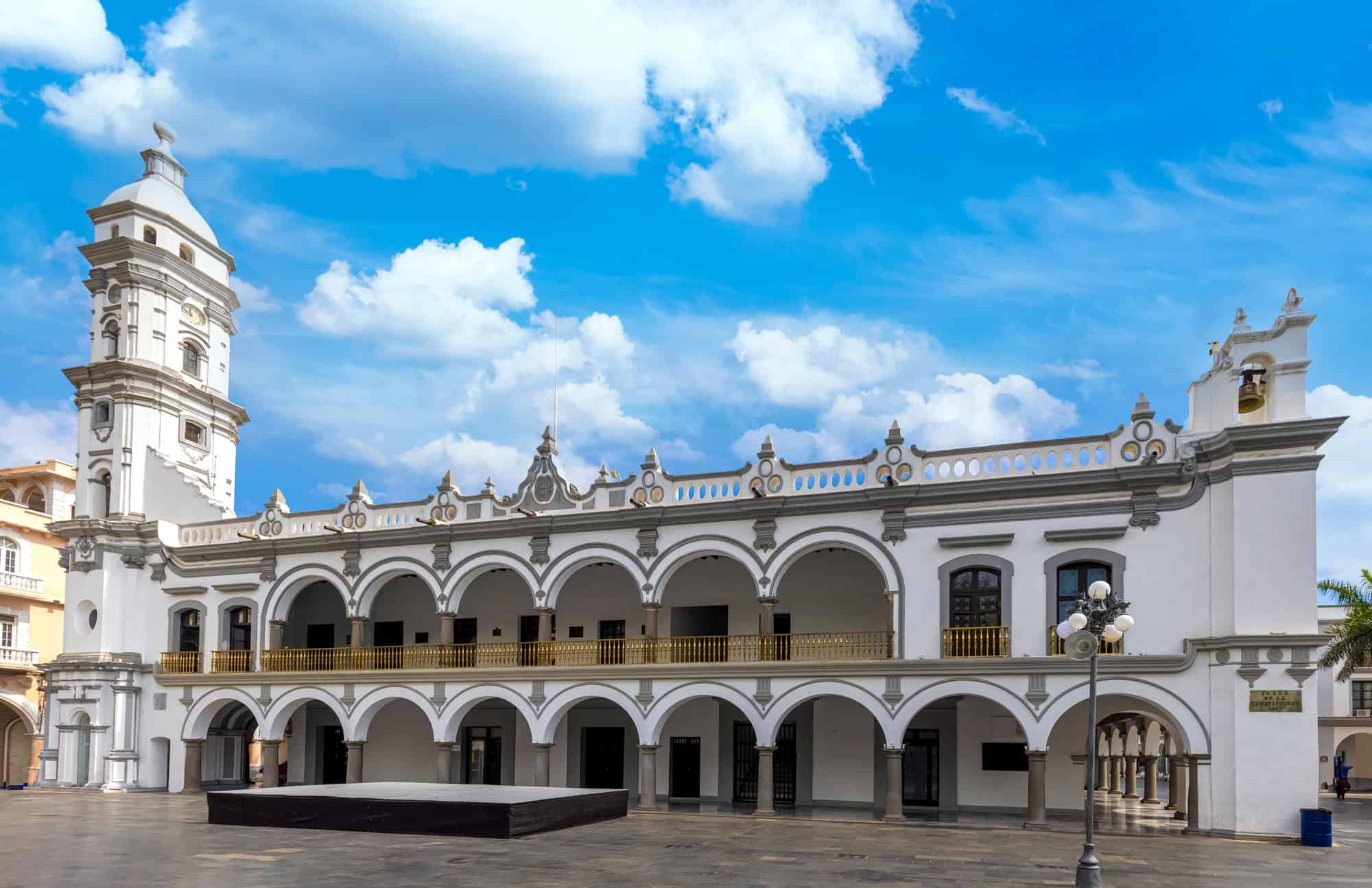
On the Gulf coast of eastern Mexico is the 27,000-square mile region of Veracruz. Veracruz borders Northern Mexico and …
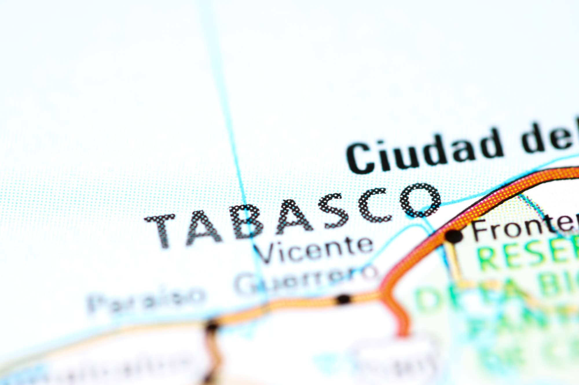
The Chiapas and Tabasco Mexico map has coastal borders on both the Gulf of Mexico as well as the Pacific Ocean. It is the only region of Mexico…

Nestled between the United States and Central America is the geographically diverse and large country of Mexico. Reaching both …

Located on the southern Pacific coast of Mexico is the region of Oaxaca, which is also made up of …

Northern Mexico, also referred to as El Norte, is the region of Mexico that makes up the northern half …
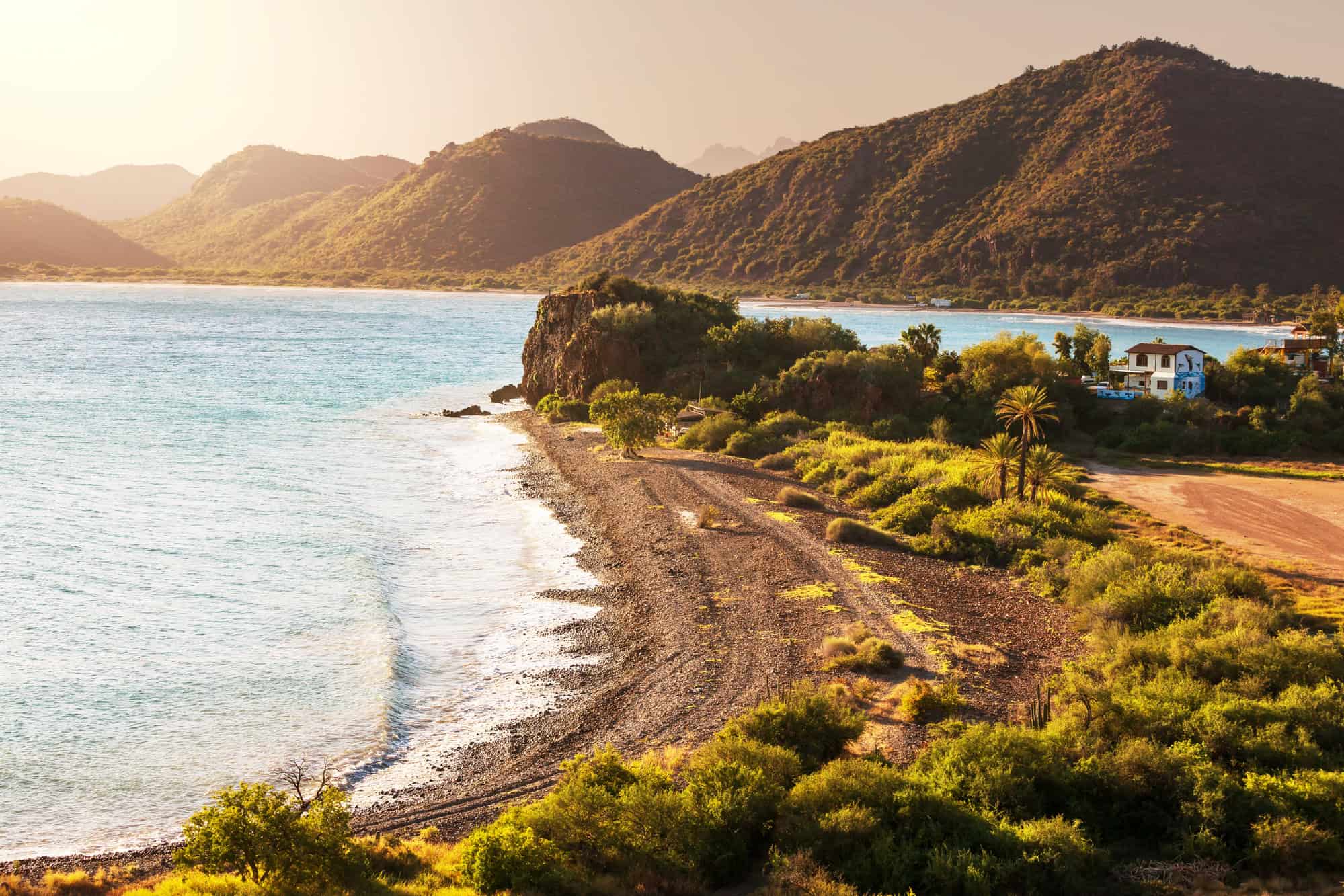
Baja California may be the most distinguishable region in all of Mexico. It is the region of Mexico that …
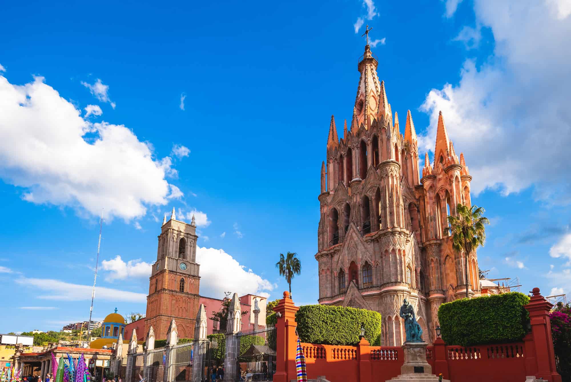
If you drew a bullseye on Mexico, you would likely circle the Mexican region of Bajio. Bajio a landlocked …
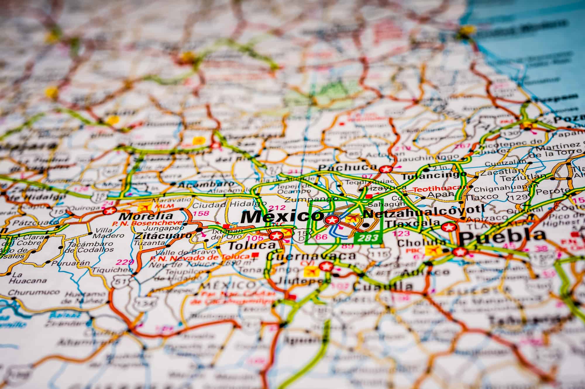
There are six states and one federal district that make up the region of Central Mexico: Hidalgo, Mexico State, …
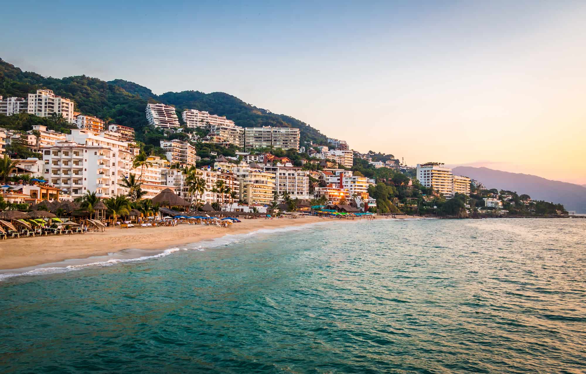
The Mexican Pacific Coast is located in the southwestern quadrant of Mexico and encompasses various Mexican cities, including Acapulco …

Explore America's past and present with our curated collection of maps, designed to help you see the country in a whole new way.
You can opt out of sale/share style tracking and optional advertising pixels on this site. Our programmatic ad partners may also provide their own ad privacy controls, which we do not replace.
If your browser sends a Global Privacy Control signal, this site treats that as an opt-out request for optional tracking we control.